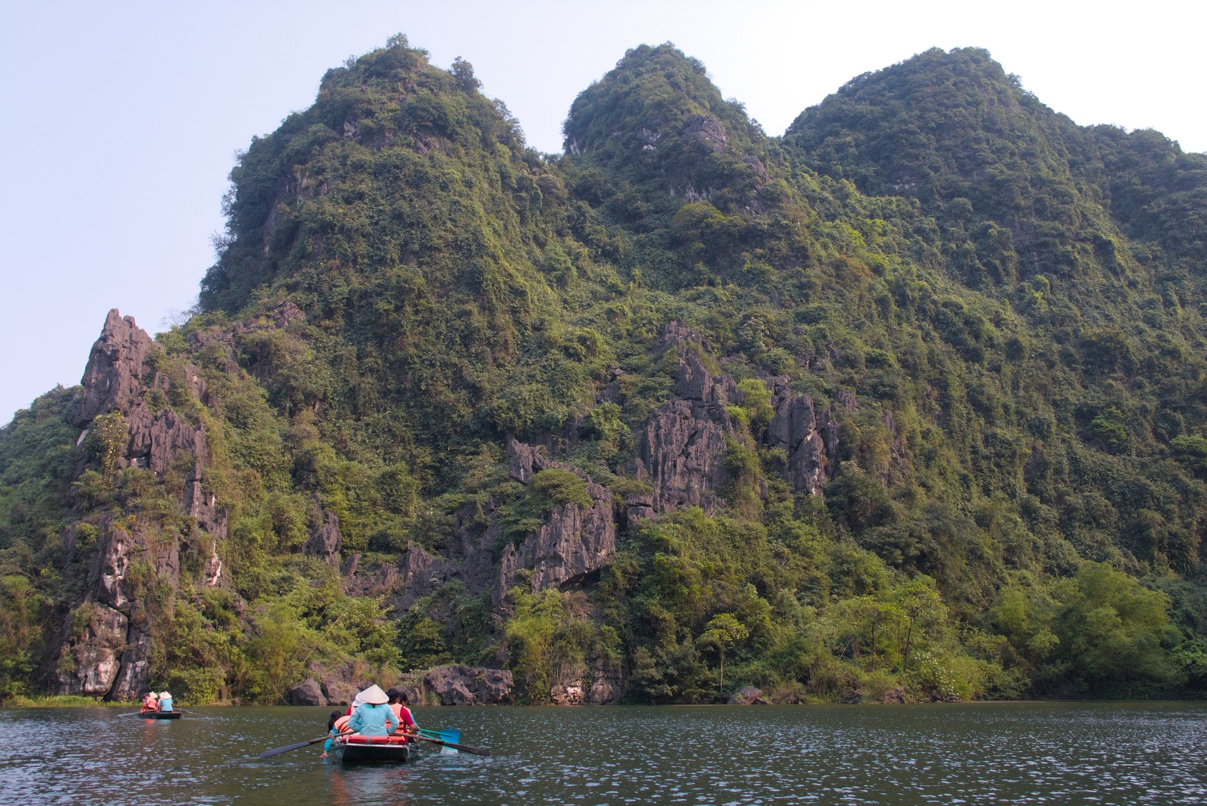
Ninh Binh province contains one of northern Vietnam's most concentrated sets of inland karst scenery. The two main boat-trip areas — Trang An and Tam Coc — sit within a few kilometres of each other, alongside the tenth-century citadel of Hoa Lu, several pagodas built into cliff faces, and Van Long, a quieter wetland reserve to the west. The area is accessible as a long day trip from Hanoi but is better absorbed over at least one night.
Trang An and Tam Coc: the two rowing routes
The question visitors wrestle with most is whether to take a boat at Trang An, at Tam Coc, or both. They are distinct experiences and the choice is worth making deliberately.
Trang An is a UNESCO World Heritage landscape (inscribed jointly as a cultural and natural site in 2014). Boats pass through a longer circuit of interconnected valleys and caves, some of them low enough that passengers must duck flat. The site is managed by a single company under a long-term government concession, which means ticketing is organised but the atmosphere can feel commercial at peak times. Several loop routes of different lengths are available.
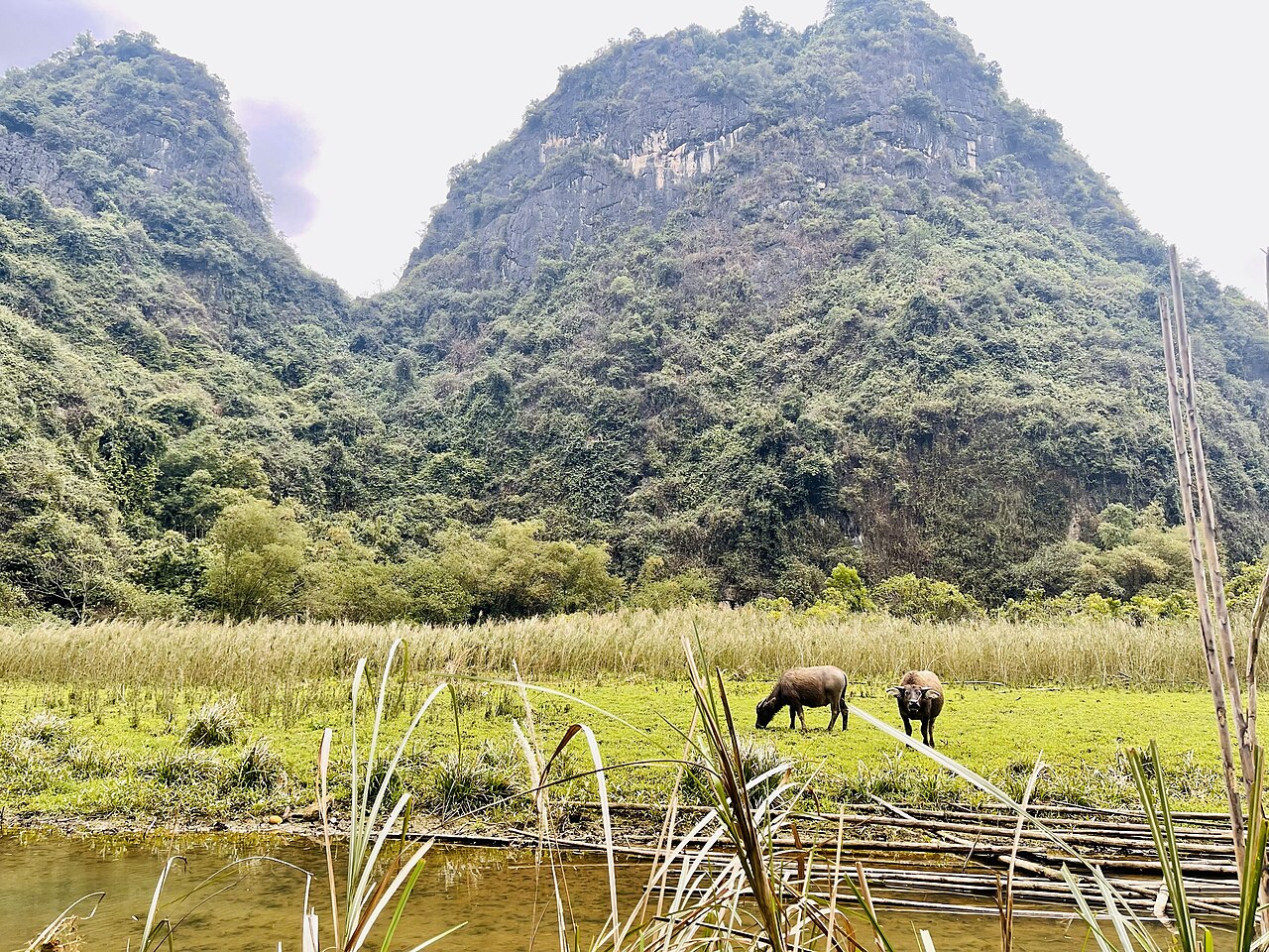
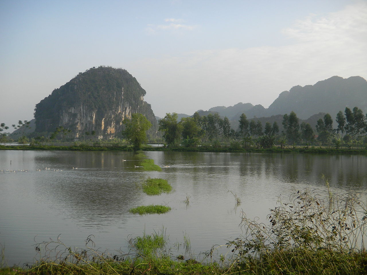
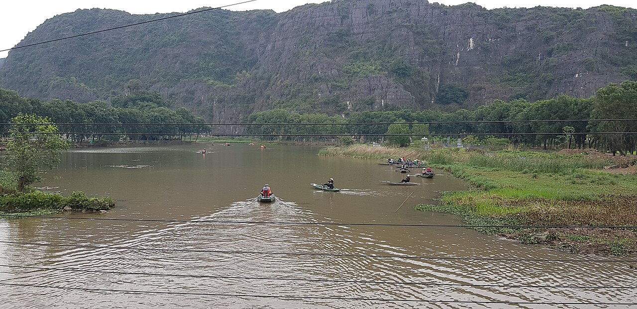
Tam Coc — whose name means 'three caves' — is the older, more photographed route, following the Ngo Dong river through three short tunnel-caves cut by the current through karst ridges. The surrounding paddy fields, especially when rice ripens in late May and early June, are the setting for images that have come to define the area internationally. The route is shorter than Trang An's longer circuits.
Both sites use flat-bottomed sampans rowed by local villagers, often using their feet on the oars. Crowds are heavier at weekends and Vietnamese public holidays. Neither site has a fixed period of the day that is reliably uncrowded, but early morning departures tend to be quieter than mid-morning ones.
Rowers and tipping
The boat fare at both sites is set officially and collected at the ticket booth; what happens on the water is a separate matter. Rowers at Tam Coc in particular have a long-established practice of stopping mid-route to display and sell embroidered goods or drinks from small boats that appear alongside. Some visitors find this intrusive; others treat it as part of the local economy. There is no obligation to buy.
Tipping the rower at the end of a trip is customary and widely expected at both sites. No fixed amount is set anywhere officially, and the expectation varies. The question of what constitutes a fair tip relative to the official fare is a matter of ongoing discussion among visitors and is genuinely unsettled — different sources give different figures, and the gap between the official ticket price and the rower's actual share of it has been a source of controversy. Acknowledging the physical effort involved — some rowers complete multiple circuits in a day using only their legs — is a reasonable starting point for thinking about it.
Hoa Lu, Mua Cave and Bich Dong
Hoa Lu was the capital of the Dinh and early Le dynasties in the tenth and early eleventh centuries, before the court moved north to Thang Long (present-day Hanoi). The original fortified citadel walls used the surrounding karst peaks as natural defences; little of the stonework remains, but two temple complexes — dedicated to Emperor Dinh Tien Hoang and Emperor Le Dai Hanh — survive within the old capital precinct and are still used for worship. The setting inside a ring of limestone hills gives a clearer sense of why the site was chosen than the surviving structures alone convey.
Mua Cave (Hang Mua) is less a cave than a viewpoint accessed by a long staircase cut into the side of a karst peak. The climb is steep — several hundred steps — and exposed to sun. The reward is a panoramic view over the Tam Coc paddies and surrounding towers that is among the most reproduced images of the region. There is an entry fee. The site is at its most photogenic in the rice-harvest season.
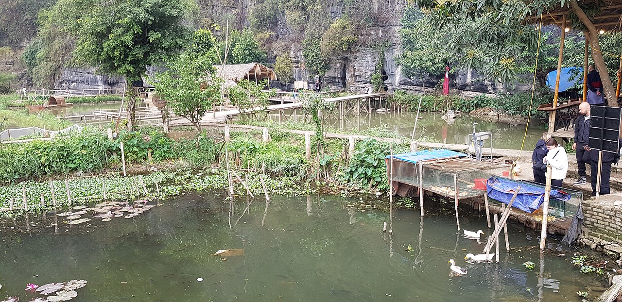
Bich Dong is a pagoda complex built in and around a cave on the face of a limestone cliff. Three separate pagodas at different heights are connected by paths and steps. It receives fewer visitors than Trang An or Mua Cave and has a quieter character.
Van Long and cycling the flats
Van Long Nature Reserve lies roughly fifteen kilometres west of Tam Coc. It is a flooded wetland with karst islands and is designated as a Ramsar site. Boat trips here are smaller in scale than at Trang An or Tam Coc, and the reserve is known for one of Vietnam's largest remaining populations of Delacour's langur, a critically endangered primate. Because Van Long attracts far fewer visitors than the main karst sites, the atmosphere is considerably calmer. The trade-off is that getting there without a private vehicle or hired motorbike requires more planning.
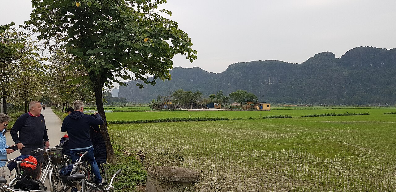
The land between the karst outcrops around Tam Coc and Hoa Lu is almost perfectly flat and crossed by quiet country lanes. Cycling this area is a practical way to connect Hoa Lu, Bich Dong, Tam Coc and the surrounding villages at a pace that allows the landscape to register. Bicycles are available for hire from guesthouses in the main town of Ninh Binh and from accommodation clusters near Tam Coc. The distances between sites are manageable and the terrain is undemanding. Motorbike hire is also common for those covering greater distances or including Van Long.
Day trip or overnight
Ninh Binh is close enough to Hanoi that it appears on many operators' day-trip itineraries, typically combining Trang An or Tam Coc with Hoa Lu. The argument for staying overnight is straightforward: a day trip compresses what is genuinely a full day of activity into a format that leaves little time to linger, rules out Van Long entirely, and means arriving at the boat ramps when crowds from Hanoi have already gathered. Staying one or two nights allows an earlier start at whichever site interests most, time for cycling, and the possibility of catching Mua Cave at dawn or dusk.
Accommodation ranges from budget guesthouses in Ninh Binh town to small resorts in the rice-paddy countryside near Tam Coc. Staying close to the boat ramps rather than in the provincial town reduces transit time in the morning. The Ninh Binh province page covers the broader region and its practical logistics.
When to go
The most consistently comfortable months are January to April and October to December. Temperatures from January to March are mild by Vietnamese standards — cool enough for a layer in the morning — and rainfall is low. April brings warmer weather before the summer heat builds.
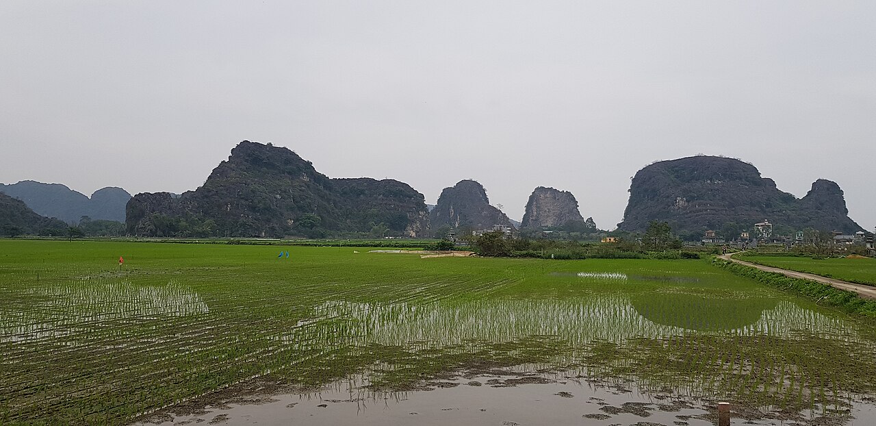
The distinctive moment that draws photographers is the late May to early June rice harvest, when the paddies around Tam Coc turn gold before being cut. This is also the beginning of the hotter, more humid period, and the window for ripe rice is short — a matter of a week or two depending on the year. A second, less-photographed harvest occurs in autumn.
July and August are hot and humid, with a higher chance of heavy rain. The karst landscape absorbs water quickly and flooding is rarely severe in the valley bottoms, but boat trips can be suspended during particularly heavy downpours. For a fuller picture of seasonal patterns across the north, see When to go: weather by region.
Getting there and practical notes
Ninh Binh town is served by the main north–south railway and by express buses from Hanoi's southern bus stations. The journey from Hanoi takes roughly two hours by road or train depending on service and traffic. From the station or bus drop-off, the boat-trip areas at Tam Coc and Trang An are several kilometres further by taxi, xe om (motorbike taxi) or bicycle.
Nearby destinations that some visitors combine with Ninh Binh include Cuc Phuong National Park, Vietnam's oldest national park, which lies about forty kilometres to the west, and Perfume Pagoda to the north. Thanh Hoa and the coastal resort of Sam Son are to the south for those continuing down the country.
For entry requirements, see Vietnam e-visa. For money and payments, see Money, ATMs and cards. Card acceptance outside the main town is limited; carrying cash is advisable. Awareness of common pricing irregularities in tourist areas is covered on the Safety and common scams page.
Climate by month
Long-run averages, not a forecast. Reference period: 2015–2024. Source: ERA5 reanalysis (Copernicus) via the Open-Meteo archive API.
Show the numbers
| Month | High °C | Low °C | Rain mm | Rain days | Humidity % |
|---|---|---|---|---|---|
| January | 21.3 | 14.8 | 59 | 11 | 79 |
| February | 22.5 | 15.7 | 36 | 8 | 80 |
| March | 25.7 | 19.2 | 53 | 10 | 84 |
| April | 28.7 | 22.0 | 94 | 9 | 84 |
| May | 31.7 | 25.2 | 180 | 16 | 82 |
| June | 33.9 | 27.2 | 168 | 15 | 77 |
| July | 33.0 | 26.7 | 316 | 19 | 80 |
| August | 31.8 | 26.0 | 352 | 23 | 85 |
| September | 30.5 | 24.8 | 351 | 23 | 86 |
| October | 28.1 | 22.0 | 212 | 15 | 80 |
| November | 26.0 | 19.5 | 86 | 11 | 79 |
| December | 21.6 | 15.0 | 42 | 7 | 74 |
What things cost
| Item | Price | Unit | As of | Source |
|---|---|---|---|---|
| Trang An boat tour Sources checked on this date disagree — some list 250,000 dong and others 300,000 — so the range is given rather than a single figure. Confirm at the pier. |
250,000 ₫ – 300,000 ₫ | per person | 2026-08-28 | Trang An Landscape Complex ticket information as published by operators |
Every price carries the date it was observed and where it came from. Prices move; treat them as a guide, not a quote.
Practical notes
Where it is
Also known as / see also
Nearby
Referenced by
Sources
- ERA5 climate normals — Copernicus / Open-Meteo (CC BY 4.0) accessed 30 August 2026
Supports: monthly temperature and rainfall normals, and elevation - Vietnam National Authority of Tourism — VNAT accessed 29 August 2026
Supports: the rules and definitions on this page
Current Last verified: 29 August 2026. Rules, fares and prices change — check the official source before acting on anything here. Report a mistake.
Picture credits (7)
Trang An - 03, Benjamin Smith, CC BY-SA 4.0, Wikimedia Commons · Dundj Valley with buffalo Ninh Binh Vietnam, Teddy Dundj, CC BY-SA 4.0, Wikimedia Commons · Tam Coc, Ninh Binh ,Vietnam, GilVon, CC BY-SA 3.0, Wikimedia Commons · Tam Coc Ninh Binh, Andre Hospers, CC BY 4.0, Wikimedia Commons · Tam Coc Ninh Binh (12995), Andre Hospers, CC BY 4.0, Wikimedia Commons · Tam Coc Ninh Binh (22310), Andre Hospers, CC BY 4.0, Wikimedia Commons · Tam Coc Ninh Binh (29079), Andre Hospers, CC BY 4.0, Wikimedia Commons