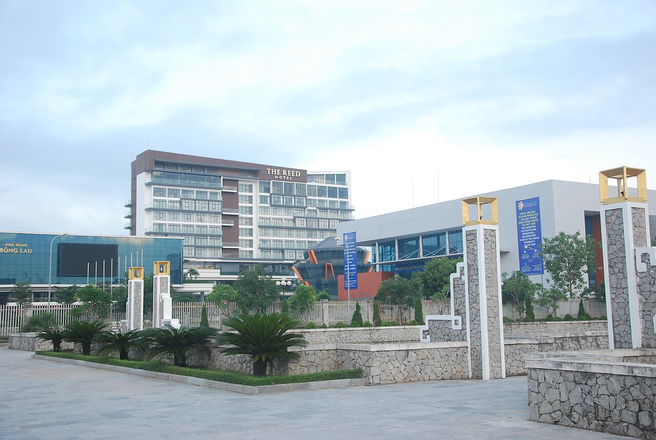
Ninh Bình CityNinh Bình
2025 constitutional amendment and Law on Organisation of Local Government establishing a two-tier local government
Administrative status
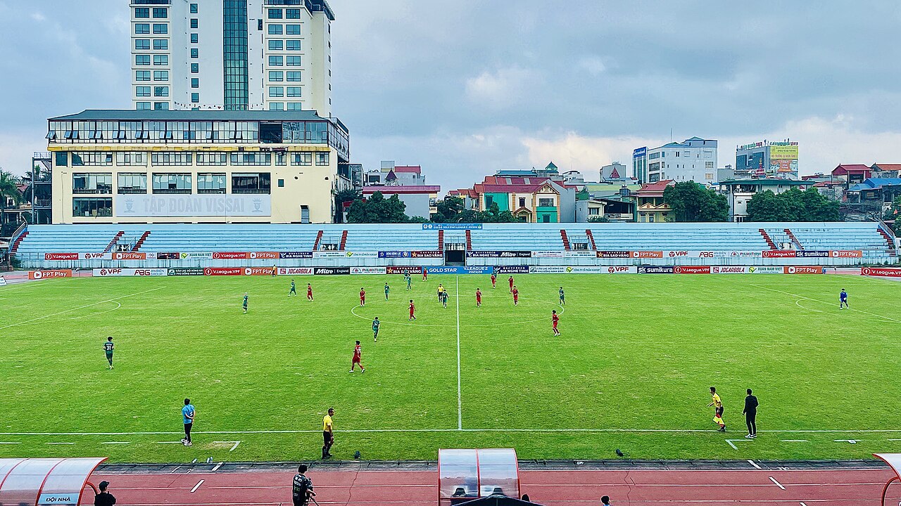
Ninh Bình City was classified as a provincial city (thành phố trực thuộc tỉnh) and served as the seat of Ninh Bình province until 30 June 2025. On 1 July 2025, Vietnam restructured its administrative system from 63 provincial-level units to 34, and simultaneously abolished the district tier. Ninh Bình City ceased to exist as a distinct administrative unit at that point. The area it covered is now governed directly under Ninh Bình province in the new two-tier province/commune system. No streets were renamed, no buildings moved, and no boundaries relevant to everyday life shifted as a result of this administrative change.
Character and location
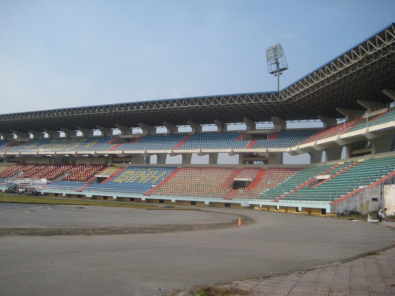
The urban core occupies roughly 48 km² on the southern fringe of the Red River Delta, where the flatlands begin to give way to the limestone karst formations that define the wider region. The Đáy River and the Vân River both pass through the city, giving it a low-lying, riverine quality. The urban centre is compact and predominantly low-rise, with a commercial centre along Trần Hưng Đạo and the streets immediately surrounding it. It functions primarily as a transit and service hub rather than a destination in itself: most travellers use it as a base for visiting the karst landscapes, wetlands and historical sites in the surrounding Ninh Bình province.
The city is not a major manufacturing centre; its economy has historically mixed agriculture, small trade and, increasingly, tourism services oriented towards the province's attractions.
Getting there and away
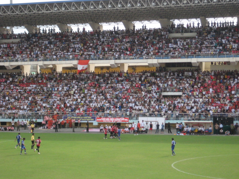
Ninh Bình railway station sits close to the city centre and receives trains on the North–South Main Line (Đường sắt Thống Nhất) connecting Hà Nội and Hồ Chí Minh City, making rail one of the most practical arrival modes. Journey time from Hà Nội is roughly two hours depending on the service, though timetables change and should be verified directly with Vietnam Railways.
National Route 1A passes through the area, and the North–South Expressway (cao tốc Bắc–Nam) has an interchange nearby, making private vehicle and bus connections practical. Open-tour and limousine buses from Hà Nội's Giáp Bát and Mỹ Đình terminals serve the route. There is no commercial airport in the city; the nearest is Nội Bài International Airport in Hà Nội.
Seasons and climate
The city shares the humid subtropical climate of the Red River Delta. There are four loosely defined seasons. Winter (roughly November to March) is cool and occasionally cold by Vietnamese standards, with drizzle common in January and February — a persistent light mist rather than heavy rain. Spring (March to May) brings warming temperatures and is considered a comfortable period for outdoor activity in the region. Summer (June to August) is hot and humid, with the bulk of annual rainfall concentrated in these months; flooding in low-lying areas can occur. Autumn (September to October) tends to be drier and is generally regarded as pleasant.
Prices vary by season, and the region around Ninh Bình province draws significantly more visitors during Vietnamese public holidays and the October–November shoulder period.
Urban areas and accommodation
Accommodation within the former city boundary clusters in two broad zones. The first is the town centre around the railway station and Trần Hưng Đạo, which offers guesthouses, small hotels and a handful of business-oriented properties convenient for onward transport. The second, increasingly dominant cluster is near Tràng An and the road toward Hoa Lư to the northwest, where newer hotels and homestays have developed to serve visitors to the karst attractions. These two zones have noticeably different characters: the centre is functional and commercial, while the outer zone is quieter and more geared to leisure stays.
Accommodation options across both areas range from budget guesthouses to mid-range hotels; higher-end resort-style properties are generally located further into the countryside of Ninh Bình province rather than within the city itself.
Common points of confusion for first-time visitors
Several recurring misunderstandings affect visitors arriving here for the first time.
- Administrative naming: Since 1 July 2025 there is no administrative unit called Ninh Bình City. Addresses that previously included the city-level designation now fall under commune-level units within Ninh Bình province directly. Navigation apps and postal addresses may take time to reflect this change.
- City versus province: Many travellers use "Ninh Bình" to mean the province, the city, the town, and the general region interchangeably. The railway station, the bus drop-off points and the main guesthouses are all in what was the city; the well-known sites (Tràng An, Tam Cốc, Bái Đính, Hoa Lư) are in the surrounding countryside, some requiring a motorbike ride or boat transfer to reach.
- Distance to attractions: The karst scenery is not visible from the city centre itself, and travellers who arrive expecting immediate access to landscapes are sometimes surprised by how industrial the approach roads look.
Where it is
Also known as / see also
Referans veren sayfalar
Kaynaklar
- Vietnam National Authority of Tourism — VNAT erişildi 29 August 2026
Supports: the rules and definitions on this page - Ninh Bình City (Q33929) — Wikidata (CC0 1.0) erişildi 30 August 2026
Supports: coordinates, area, population - Ninh Bình province — Wikipedia (CC BY-SA 4.0) erişildi 31 August 2026
Supports: background - Ninh Bình — Wikipedia (Vietnamese) (CC BY-SA 4.0) erişildi 31 August 2026
Supports: background, Vietnamese edition
Current Son doğrulama: 31 August 2026. Rules, fares and prices change — check the official source before acting on anything here. Report a mistake.
Picture credits (4)
Ninh Bình City1, Kien1980v ( thảo luận ) 04:56, ngày 3 tháng 9 năm 2017 (UTC), Public domain, Wikimedia Commons · Ninh Binh Stadium 2024, AxitTDTbenzoic, CC0, Wikimedia Commons · Ninh Bình Stadium in 2008, Kien1980v ( thảo luận ), Public domain, Wikimedia Commons · Ninh Bình Stadium in 2009 2, TruongHuynb ( thảo luận ), Public domain, Wikimedia Commons