Overview
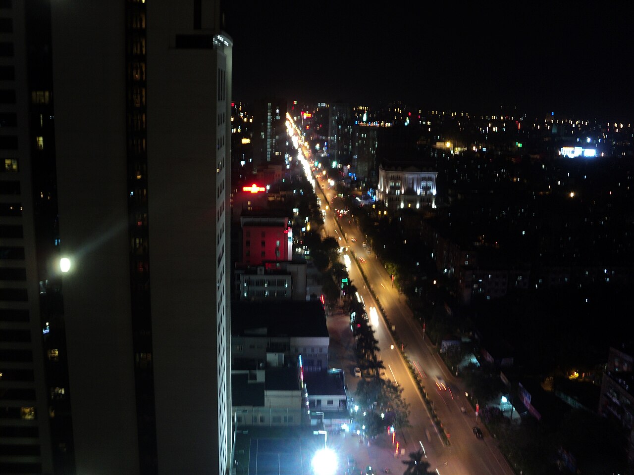
Nghệ An is a province in Vietnam's North Central Coast region, administered from the city of Vinh. It is the largest province in Vietnam by land area, stretching from a coastline on the Gulf of Tonkin westward across river valleys and forested highlands to the border with Laos. The western districts contain some of the most remote terrain in the country, with ranges rising well above the provincial average elevation.
The province is most widely known outside Vietnam as the birthplace of Hồ Chí Minh, who was born in 1890 in the village of Kim Liên, Nam Đàn district. This association gives the province a particular weight in Vietnamese national memory that shapes both the landscape of monuments and the way locals speak about their region. The population is predominantly Kinh, but Thái, Thổ, Khơ-mú and other ethnic minority groups live in the western highlands.
Climate and when to visit
Nghệ An's climate follows a pattern common to the north-central coast but with notable extremes. Winters (December through February) are cool and relatively dry, with temperatures dropping significantly at night, particularly in the highlands. Spring brings a gradual warming, and by May the lowlands are already hot. The Lào wind — a dry, hot wind descending from the west — intensifies heat in June and July, making mid-summer the most uncomfortable period in Vinh and the coastal plain.
Rainfall peaks sharply in late summer and autumn: July, August, and especially September deliver heavy rainfall, and the province is periodically affected by tropical storms tracking in from the South China Sea. October sees continued significant rain before conditions improve through November. The coolest and driest months — December to February — suit highland trekking but require warm layers. March, April, and November represent broadly favourable shoulder periods for most visitors.
For detailed regional comparisons, see When to go: weather by region.
Getting there and around
Vinh is Nghệ An's main transport hub. Vinh Airport (IATA: VII) handles domestic flights connecting to Hanoi, Ho Chi Minh City, and several other cities, though the schedule is not dense. The railway line running the length of Vietnam passes through Vinh, and trains on the Thống Nhất (Reunification) line stop here; journey times to Hanoi and Đà Nẵng vary considerably by train class and type. Open-tour and express buses connect Vinh to Hanoi, Đà Nẵng and points south.
Within the province, reaching the western highlands requires either hiring a vehicle with a driver, renting a motorbike, or taking local minibuses that run on fixed routes to communes including Con Cuông and Tương Dương. Road conditions improve on the main National Highway 7 corridor toward Laos but deteriorate on secondary routes, particularly after heavy rain. The Cầu Treo border gate connects to Laos for travellers holding appropriate visas. Check Vietnam e-visa requirements before planning any border crossing. SIM cards and eSIMs are available in Vinh; coverage in the remote west is limited.
What to see and do
In Kim Liên, the Hồ Chí Minh Birthplace Memorial Complex preserves the house where he was born and a related site at the home of his father, Nguyễn Sinh Sắc. The complex draws large numbers of domestic visitors and functions as a site of political pilgrimage; approach it with the understanding that its framing is explicitly commemorative.
Cửa Lò is the province's main coastal resort town, with a long sandy beach that is popular primarily with Vietnamese visitors from the north during summer. The beach itself is broad and flat; facilities are concentrated and aimed at family groups.
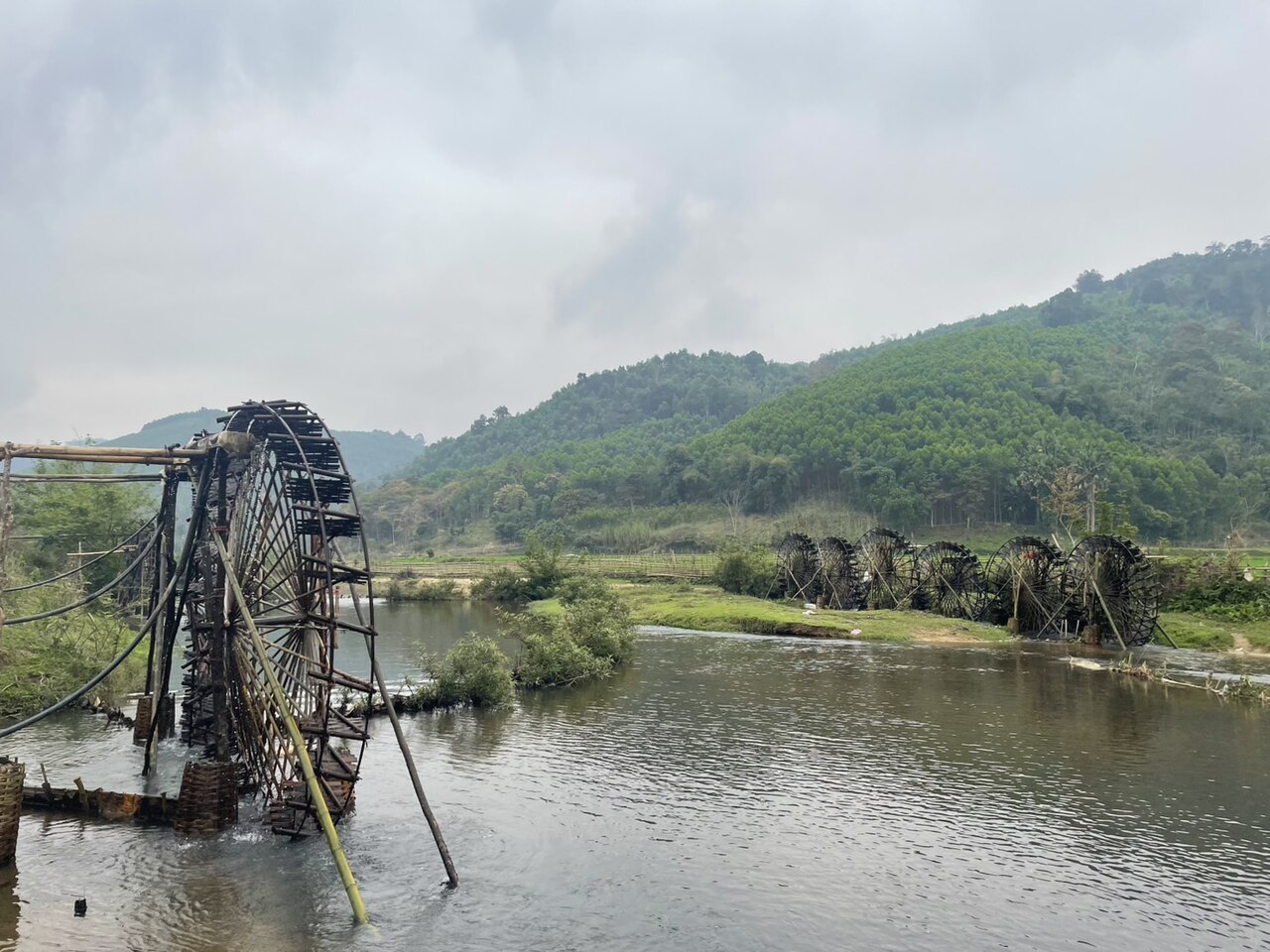
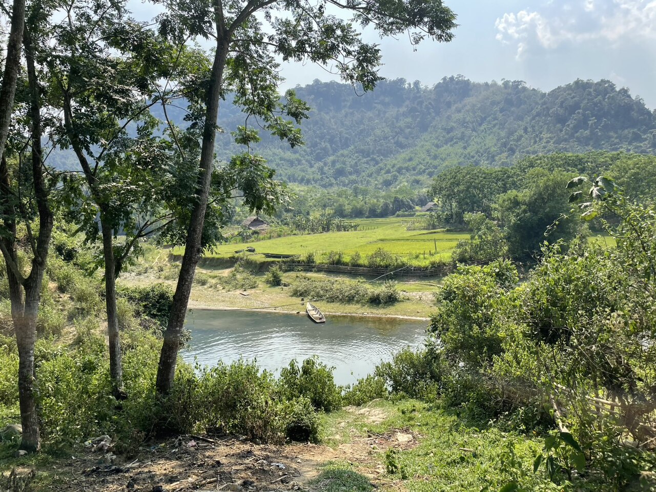
The western highlands hold Pù Mát National Park, a UNESCO-recognised biosphere reserve protecting one of the largest areas of primary forest remaining in northern Vietnam. The park borders the Lao border and contains populations of Indochinese tigers, Asian elephants, and Sao la — though sightings of large mammals are rare. Trekking, river kayaking on the Giăng River, and visits to Thái minority villages are the principal activities. The highland town of Con Cuông serves as the main base.
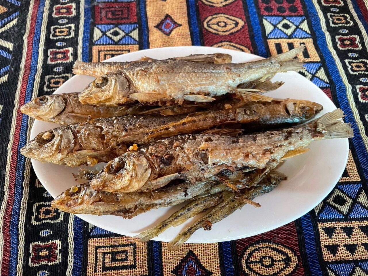
Nghệ An also has a distinct local food culture; see Central Vietnamese cuisine for context on regional dishes.
Where to stay
Accommodation is concentrated in three areas. Vinh city has the broadest range, from budget guesthouses to mid-range business hotels, and is the logical base for transport connections and for visiting Kim Liên. Cửa Lò has a dense strip of beach hotels and resorts that fill during the Vietnamese domestic summer season (roughly May to August); prices vary by season and occupancy swings sharply. Con Cuông and the surrounding area near Pù Mát have guesthouses and some homestays in Thái villages; standards are basic by international comparison, and booking in advance is advisable for weekends.
The remote far-west communes along the Lao border have very limited facilities. Travellers planning multi-day trekking typically arrange accommodation and guides through operators based in Con Cuông or Vinh. For payment practicalities, see Money, ATMs and cards; ATM coverage thins out rapidly beyond Vinh and Con Cuông.
Common misunderstandings
Visitors sometimes assume the western highlands are straightforward to visit independently without prior planning. Pù Mát National Park requires permits for certain zones, and guides are compulsory in the core area; improvised access to forest trails is not permitted and can result in getting lost in large tracts of dense terrain with limited mobile signal.
The Lào wind season (June to July) is frequently underestimated. Temperatures in Vinh during this period regularly exceed those of the same months in Hanoi and can make outdoor activity in the lowlands uncomfortable. This matters if Nghệ An is one stop on a longer itinerary planned around coastal or cultural sightseeing.
Cửa Lò beach is a genuine and popular resort for Vietnamese domestic tourists but is sometimes described in traveller forums as a hidden or undiscovered place. It is neither: it is heavily used, deliberately developed, and infrastructure-oriented toward group tourism. Visitors expecting a quiet coastal retreat may be surprised by the scale and noise of peak season. For regional context and nearby destinations, see Thanh Hoa to the north. Review Safety and common scams before arriving in any unfamiliar city.
月別気候
長期平均値であり、予報ではありません。 参照期間: 2015–2024. 出典: ERA5 reanalysis (Copernicus) via the Open-Meteo archive API.
Show the numbers
| 月 | 最高気温 °C | 最低気温 °C | 降水量(mm) | 雨天日数 | Humidity % |
|---|---|---|---|---|---|
| January | 20.3 | 13.7 | 48 | 12 | 85 |
| February | 22.2 | 14.6 | 35 | 8 | 83 |
| March | 26.6 | 18.3 | 67 | 12 | 84 |
| April | 29.7 | 21.0 | 80 | 12 | 80 |
| May | 31.3 | 23.0 | 170 | 17 | 82 |
| June | 32.7 | 24.1 | 128 | 14 | 76 |
| July | 31.5 | 23.5 | 279 | 21 | 81 |
| August | 30.0 | 23.1 | 290 | 24 | 87 |
| September | 28.5 | 22.2 | 333 | 24 | 90 |
| October | 26.0 | 19.7 | 194 | 19 | 87 |
| November | 24.2 | 17.7 | 71 | 11 | 85 |
| December | 20.3 | 13.7 | 35 | 10 | 83 |
Places within Nghe An
Where it is
Also known as / see also
近隣
参照元
出典
- ERA5 climate normals — Copernicus / Open-Meteo (CC BY 4.0) アクセス日 30 August 2026
Supports: monthly temperature and rainfall normals, and elevation - Nghe An (Q36587) — Wikidata (CC0 1.0) アクセス日 30 August 2026
Supports: coordinates, area, population - Nghe An — Wikipedia (CC BY-SA 4.0) アクセス日 30 August 2026
Supports: background
Current 最終確認: 31 August 2026. Rules, fares and prices change — check the official source before acting on anything here. Report a mistake.
Picture credits (6)
Cá mát:Con Cuông, Nghệ An, KoheiU, CC0, Wikimedia Commons · Bánh xe nước② ở Bình Chuẩn, Con Cuông, Nghệ An, KoheiU, CC0, Wikimedia Commons · Bản Bãi Gạo, Xã Châu Khê, Con Cuông, Nghệ An, KoheiU, CC0, Wikimedia Commons · Bản Diềm, Châu Khê, Con Cuông, Nghệ An, KoheiU, CC0, Wikimedia Commons · Bản Khe Búng, Xã Môn Sơn, Con Cuông, Nghệ An, Vietnam 5, KoheiU, CC0, Wikimedia Commons · A street in Vinh by night, Quang Trung Vinh, CC BY-SA 4.0, Wikimedia Commons