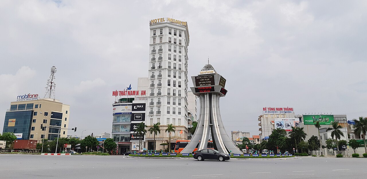
The place itself has not changed, and this page continues to cover it.
National Assembly Resolution 202/2025/QH15 on the rearrangement of provincial-level administrative units
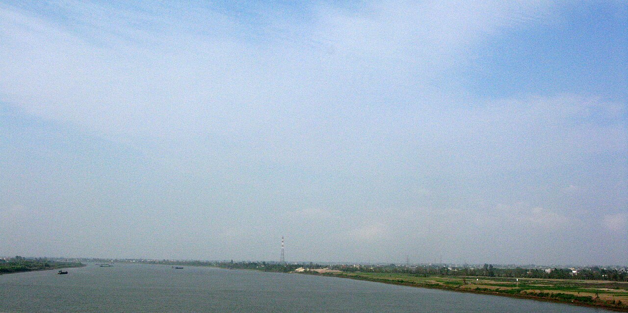
Nam Dinh province occupied a low-lying stretch of the Red River Delta, bordered by the sea to the east and the Red River to the north. Historically significant as a centre of textile production and one of the most Catholic regions in Vietnam, it was dissolved on 1 July 2025 and absorbed into the enlarged Ninh Binh province under Vietnam's nationwide administrative consolidation.
Historical character and what the area is known for
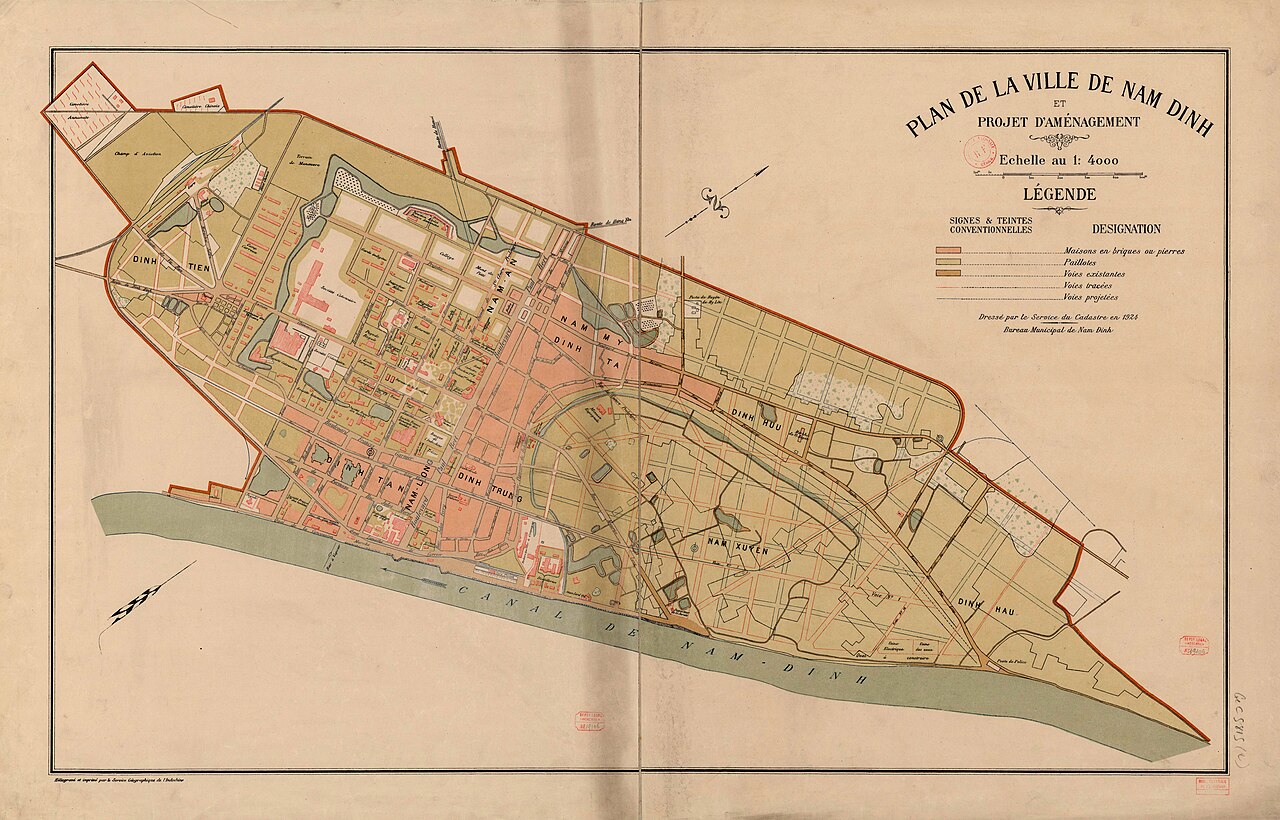
Nam Dinh city, the former provincial capital, was one of the earliest industrial centres in northern Vietnam, developed under French colonial administration in the late nineteenth century. The Nam Dinh textile mill was among the largest in Indochina and shaped the character of the city; remnants of that industrial heritage remain visible in the urban fabric.
The region has an exceptionally dense concentration of Catholic communities, a legacy of early European missionary activity. Large stone churches, many built in a European Gothic style and dating to the nineteenth and early twentieth centuries, are scattered across the lowland countryside. The diocese based in the area is one of the most prominent in Vietnam.
To the east, the Xuan Thuy National Park protects a significant Ramsar-listed wetland at the mouth of the Red River, important for migratory birds including the rare black-faced spoonbill. This coastal zone, with its mangroves and tidal mudflats, contrasts sharply with the densely farmed interior.
Administrative status from July 2025
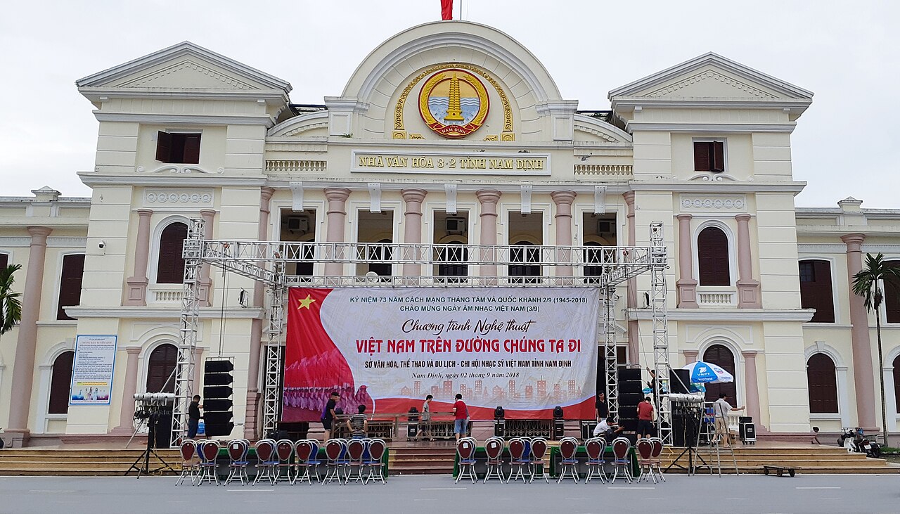
Under the National Assembly resolution that took effect on 1 July 2025, Vietnam reorganised its 63 provinces and centrally governed cities into 34 units and abolished the district tier. Former Nam Dinh province was merged with Ninh Binh province and Ha Nam province to form the new, enlarged Ninh Binh province. The former provincial capital, Nam Dinh city, continues to exist as a city-level locality within the new province, and the places, roads, churches and natural areas described on this page have not moved or been renamed. Administration of the area, however, now falls under Ninh Binh provincial authorities.
Travellers and researchers should note that references to "Nam Dinh province" in older guidebooks, maps and databases describe a unit that no longer exists in administrative terms.
Getting there and around
Nam Dinh city sits on the main north–south rail line between Hanoi and Ho Chi Minh City, and trains stop here regularly, making it straightforward to reach from Hanoi. The journey from Hanoi by train takes roughly two hours depending on the service. Road connections via National Route 10 link the area to Ninh Binh city to the west and to the coastal provinces to the south.
Buses from Hanoi's southern terminals serve Nam Dinh city and run frequently. Within the former province, motorbike taxis and hired motorbikes are the most practical way to reach rural churches and the Xuan Thuy coast, as public transport thins out considerably beyond the city. The coastal wetland area requires some planning, as the national park entrance is not directly on any main road.
Because the district tier has been abolished, navigating by former district name may confuse local officials; commune and ward names, along with the Nam Dinh city designation, remain the operative reference points.
When to go
The Red River Delta has a humid subtropical climate with four distinct seasons. Winter, from roughly November to March, is cool and often overcast, with occasional drizzle. Temperatures rarely approach freezing but can feel raw given the humidity. Spring brings warming temperatures and persistent mist.
Summer, from May to September, is hot and humid, with the heaviest rainfall concentrated in July and August. Typhoon risk affects the coast during this period, and the Xuan Thuy wetlands can be partly inaccessible at peak flood. The autumn months of October and November offer the most settled combination of manageable heat and reduced rainfall, and are generally regarded as the most comfortable period for travel in the delta.
Birdwatchers targeting the Xuan Thuy wetlands should note that migratory species are most numerous during the winter and spring migration windows.
Things to see
Catholic churches: The countryside around Nam Dinh city contains some of the most architecturally striking rural churches in Vietnam. Phu Nhai Basilica, one of the largest Catholic churches in the country, draws pilgrims and is an impressive structure by any measure. Numerous village churches of varying scale and condition are accessible by road.
Xuan Thuy National Park: Vietnam's first Ramsar wetland site, this coastal reserve at the mouth of the Ba Lat distributary of the Red River protects mangrove forests and tidal mudflats. There is an entry fee. It is primarily of interest to those focused on birdwatching and coastal ecology rather than general tourism.
Nam Dinh city: The former provincial capital retains some French-era streetscapes and a central market area. The Tran Temple complex, dedicated to the Tran dynasty kings who originated from this region, is the main historical monument in the city and hosts a significant festival in early spring by the lunar calendar.
Silk and weaving villages: Several villages in the area have traditions of silk and fabric production, though industrialisation has reduced the scale of traditional craft weaving considerably.
Common misunderstandings
The most immediate point of confusion is administrative: from July 2025, Nam Dinh is no longer a separate province. Correspondence, business registration, legal documents and official enquiries must reference Ninh Binh province. Older maps, GPS databases and travel platforms may not yet reflect this change.
Visitors expecting a typical delta market town sometimes underestimate the distances involved in reaching the coastal wetlands or the rural church circuit; these require a dedicated half-day or full day by motorbike or hired vehicle, not a short taxi ride from the city centre.
The Tran Temple festival draws very large crowds during the spring lunar calendar dates; accommodation in the city fills and road access to the complex becomes difficult. Those not specifically attending the festival may find this period inconvenient.
Finally, the Catholic church heritage is living and active, not simply a set of historic monuments. Services are held regularly and the communities around major churches are dense; visiting with appropriate discretion is expected.
Aya göre iklim
Uzun vadeli ortalamalar; tahmin değildir. Referans dönemi: 2015–2024. Kaynak: ERA5 reanalysis (Copernicus) via the Open-Meteo archive API.
Show the numbers
| Ay | En yüksek °C | En düşük °C | Yağış miktarı (mm) | Yağışlı gün sayısı | Humidity % |
|---|---|---|---|---|---|
| January | 21.2 | 15.2 | 50 | 10 | 80 |
| February | 22.1 | 16.0 | 36 | 7 | 81 |
| March | 25.2 | 19.4 | 46 | 10 | 85 |
| April | 28.1 | 22.2 | 86 | 10 | 84 |
| May | 31.0 | 25.6 | 158 | 16 | 82 |
| June | 33.5 | 27.7 | 164 | 14 | 76 |
| July | 32.9 | 27.2 | 296 | 19 | 79 |
| August | 31.6 | 26.4 | 348 | 24 | 84 |
| September | 30.5 | 25.1 | 365 | 23 | 86 |
| October | 28.3 | 22.4 | 201 | 15 | 79 |
| November | 26.2 | 20.0 | 65 | 11 | 78 |
| December | 21.9 | 15.5 | 40 | 8 | 73 |
Places within Nam Dinh
Also known as / see also
Şu an parçası olduğu yer
Referans veren sayfalar
Kaynaklar
- ERA5 climate normals — Copernicus / Open-Meteo (CC BY 4.0) erişildi 30 August 2026
Supports: monthly temperature and rainfall normals, and elevation - Nam Dinh (Q36907) — Wikidata (CC0 1.0) erişildi 30 August 2026
Supports: coordinates, area, population - Nam Dinh — Wikipedia (CC BY-SA 4.0) erişildi 30 August 2026
Supports: background
Current Son doğrulama: 29 August 2026. Rules, fares and prices change — check the official source before acting on anything here. Report a mistake.
Picture credits (5)
Cổng chào Nam Định (Nam Dinh City Gate, Vietnam), TaiwaneseWaveVN, CC BY-SA 4.0, Wikimedia Commons · Hồng River under Tân Đệ Bridge, Phó Nháy, Public domain, Wikimedia Commons · Nhà văn hóa 3-2 tỉnh Nam Định (Nam Dinh 3-2 Culture House) (02), TaiwaneseWaveVN, CC BY-SA 4.0, Wikimedia Commons · National Museum Vietnamese History 29 (cropped), National_Museum_Vietnamese_History_29.jpg : Gryffindor derivative work: Jbarta ( talk ), CC BY-SA 3.0, Wikimedia Commons · Nam Định 1924, Service du cadastre / Service géographique de l'Indochine, Public domain, Wikimedia Commons