2025 constitutional amendment and Law on Organisation of Local Government establishing a two-tier local government
Administrative status
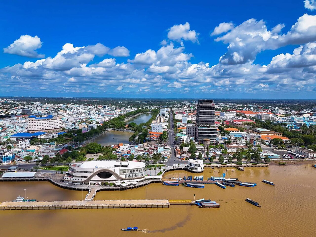
Until 30 June 2025, Mỹ Tho was a provincial city and the administrative centre of Tiền Giang province. On 1 July 2025, Vietnam's sweeping provincial consolidation merged many units into 34 provinces, and the district tier was abolished entirely across the country. The area previously governed as Mỹ Tho now falls under the jurisdiction of Tiền Giang province in the new two-tier province/commune system.
The city itself has not moved, been renamed or materially changed. Mỹ Tho remains the common name for the urban area, and all landmarks, streets and river channels continue to be referred to by their established names.
Character and setting
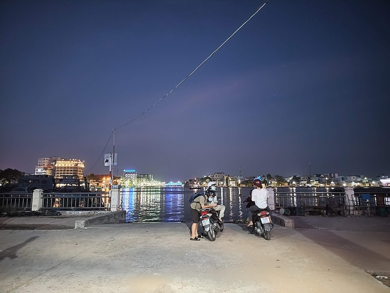
Mỹ Tho occupies a narrow strip of land hemmed by the Tiền River to the south and a network of canals inland. The waterfront promenade along Trung Trắc street is the social spine of the city, lined with riverside cafés and small fishing operations. The city's street grid dates partly from French colonial planning, and a number of early twentieth-century shophouses survive near the central market.
The surrounding countryside is characterised by flat alluvial land planted with longan, rambutan, pomelo and coconut. Four main islands in the river — Thới Sơn, Long, Qui and Phụng — are regularly visited for their orchards and small workshops producing coconut candy and rice liquor. Thới Sơn is the largest and most frequently visited of the four.
Getting there and away
Mỹ Tho has no commercial airport. The most common approach is by road from Ho Chi Minh City via National Highway 1 or the expressway that links the two cities across the Chợ Gạo canal corridor. Bus services depart from Miền Tây bus station in Ho Chi Minh City and terminate at Mỹ Tho's main bus station on the northern edge of the urban area. Journey times vary with traffic.
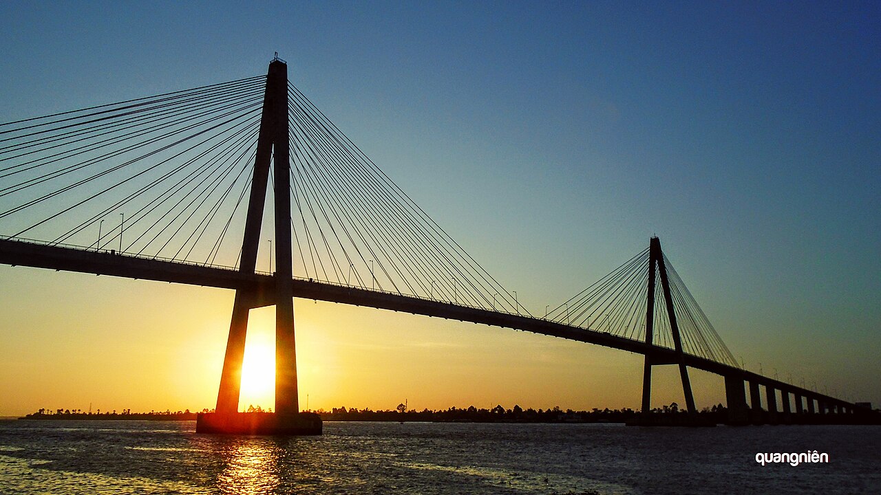
Onwards travel into the delta typically continues by road toward Đồng Tháp province or south toward Bến Tre via the Rạch Miễu Bridge. Ferry crossings that once supplemented road links have diminished since bridge construction, though small local ferries still operate on shorter river crossings within the delta network.
Seasons and when to visit
Mỹ Tho experiences the Mekong Delta's two-season pattern: a dry season roughly from November to April and a wet season from May to October. The dry season brings lower humidity, easier road conditions and more predictable river levels for boat excursions. The wet season brings afternoon downpours and, in some years, significant flooding along low-lying canal banks.
The annual flood pulse, which moves through the upper delta — including areas of Đồng Tháp — earlier than it reaches Mỹ Tho, means the city itself rarely sees severe inundation, though canal-adjacent streets can flood temporarily. Fruit harvests, notably longan and rambutan, peak between June and August, coinciding with the wetter months. Prices vary by season for accommodation and organised river trips.
River excursions and local produce
The primary draw for visitors passing through Mỹ Tho is boat travel on the Tiền River and its adjoining channels. Vessels range from motorised wooden sampans to larger tourist boats. Routes typically call at one or more of the four river islands, where visitors can observe coconut candy production — a labour-intensive process of boiling coconut milk, pouring it into moulds and wrapping individual pieces by hand — as well as bee-keeping operations and small orchards.
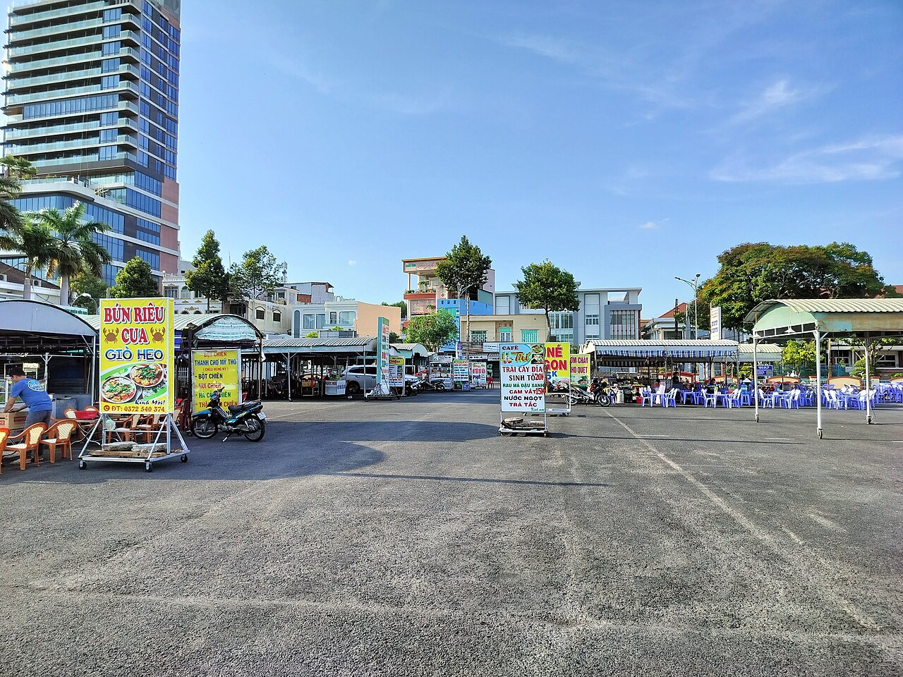
The central market (Chợ Mỹ Tho) sells fresh produce from the surrounding agricultural land, including varieties of citrus, banana and aquatic vegetables typical of delta cultivation. Hủ tiếu Mỹ Tho, a clear-broth noodle soup made with thin rice noodles and a pork-based stock, is the dish most strongly associated with the city and is available throughout the day at market-edge stalls and dedicated shops along the older commercial streets.
Accommodation and neighbourhoods
The majority of accommodation in Mỹ Tho is concentrated within walking distance of the riverfront, particularly along or just behind Trung Trắc and 30 Tháng 4 streets. Options range from guesthouses in older shophouse buildings to mid-range hotels facing the river. The area near the bus station, on the northern fringe, has simpler options used mainly by travellers in transit.
Because Mỹ Tho sits at the edge of Tiền Giang province's administrative territory, the urban fabric transitions fairly quickly into peri-urban and then rural land within a short distance of the centre. There is no distinct upmarket residential zone comparable to those in larger Vietnamese cities; the city functions at a relatively compact, provincial scale.
Common misunderstandings
A frequent misconception is that Mỹ Tho is the start of an extended Mekong river cruise. In practice, large cruise vessels operating on the Mekong itself operate much further upstream; what departs from Mỹ Tho are day-trip or half-day sampan excursions on the Tiền River distributaries. These are genuinely river trips but cover a limited geographic area.
Visitors sometimes expect a floating market at Mỹ Tho comparable to those at Cái Bè or further south in Cần Thơ. No significant wholesale floating market operates at Mỹ Tho itself. The coconut candy workshops on Thới Sơn island, while often presented as spontaneous local industry, are well-integrated into the tour circuit and operate with that audience in mind. The island is nonetheless a working agricultural community and the production methods shown are accurate to the actual trade.
Where it is
Các nguồn
- Mỹ Tho (Q33425) — Wikidata (CC0 1.0) đã truy cập 30 August 2026
Supports: coordinates, area, population - Mỹ Tho — Wikipedia (CC BY-SA 4.0) đã truy cập 30 August 2026
Supports: background
Current Đã xác minh lần cuối: 31 August 2026. Rules, fares and prices change — check the official source before acting on anything here. Report a mistake.
Picture credits (4)
Phường Mỹ Tho, Duong Dang Khoi, CC0, Wikimedia Commons · Bình minh ở cầu Rạch Miễu, thành phố Mỹ Tho, Atnastr at Vietnamese Wikipedia, CC BY-SA 3.0, Wikimedia Commons · Bến phà Tân Long, Thành phố Mỹ Tho, Kwozyn, CC0, Wikimedia Commons · Chợ đêm ăn uống ở Phường 1, Thành phố Mỹ Tho, Kwozyn, CC0, Wikimedia Commons