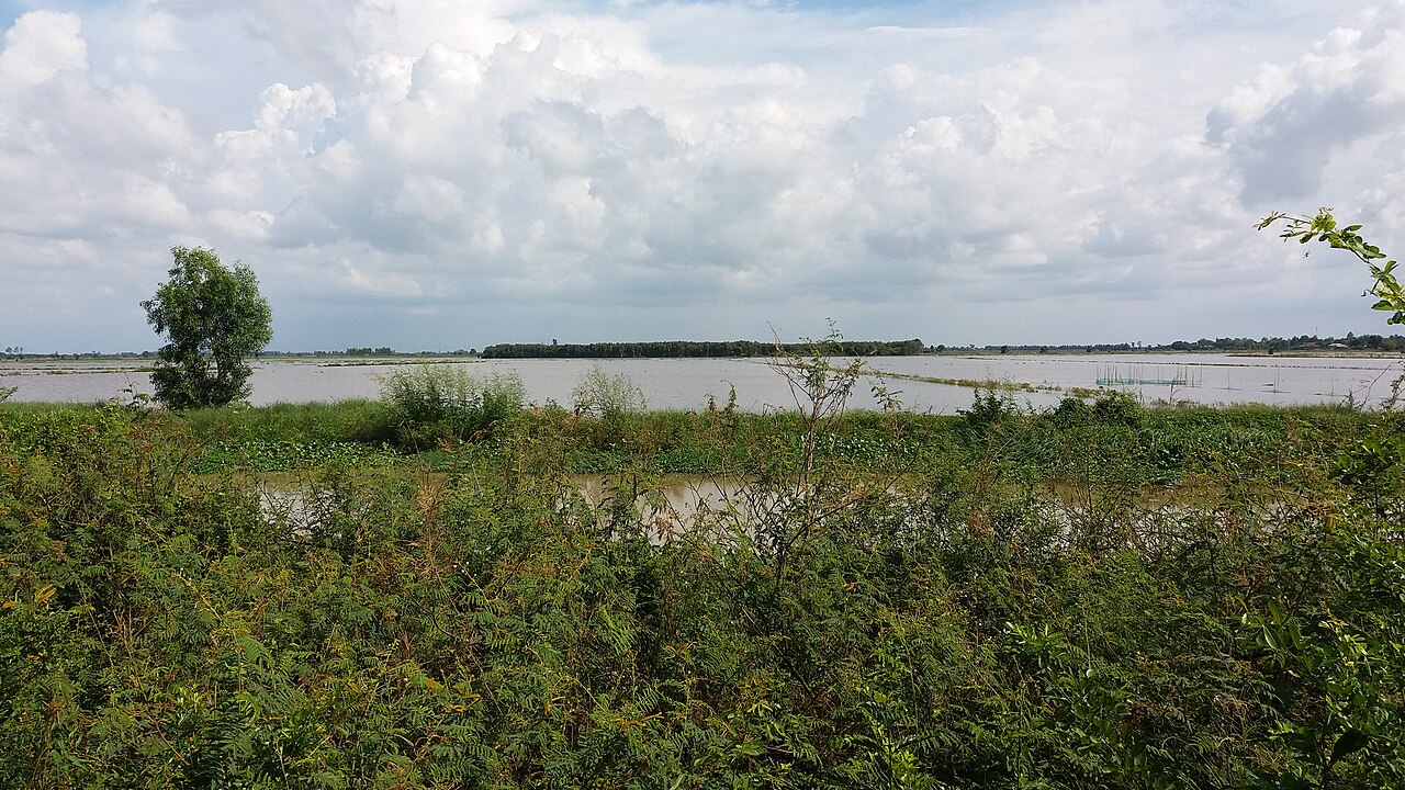
The place itself has not changed, and this page continues to cover it.
National Assembly Resolution 202/2025/QH15 on the rearrangement of provincial-level administrative units
Administrative status
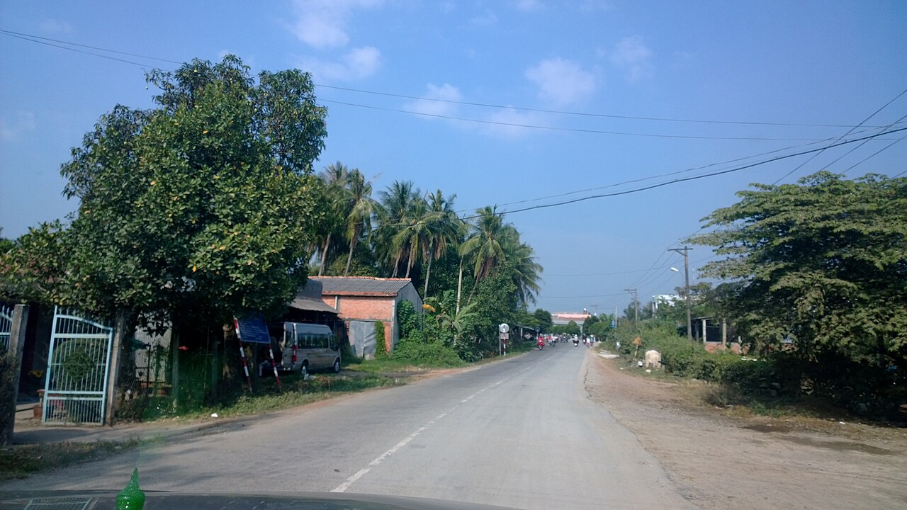
Long An existed as a province-level administrative unit until 30 June 2025. On 1 July 2025, as part of Vietnam's national consolidation from 63 provinces to 34, Long An was merged into Tay Ninh, which now governs the entire area. The district tier has also been abolished nationally; administration now runs directly from the provincial level to individual communes.
The merger is administrative only. The territory, its towns, canals, roads, markets and landscapes are unchanged. Travellers and researchers referring to "Long An" as a geographic or cultural description are using a term that remains widely understood and in common use.
Geography and character
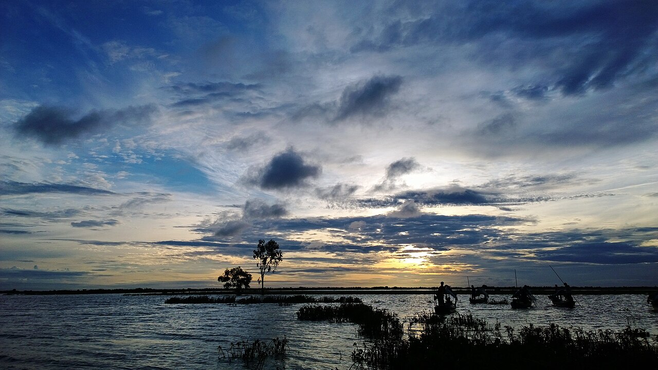
Long An sits at the northern fringe of the Mekong Delta, immediately south and west of Ho Chi Minh City, and shares a border with Cambodia to the north-west. The terrain is almost entirely flat, averaging around 3 metres above sea level, and is defined by an extensive network of rivers, canals and flooded plains — collectively part of the Đồng Tháp Mười, or Plain of Reeds.
This is fundamentally an agricultural landscape. Rice cultivation dominates, alongside freshwater aquaculture and the cultivation of dragon fruit, particularly in the area around Châu Thành. The town of Tân An functions as the main urban centre of the territory, sitting on the Vàm Cỏ Tây River roughly 47 kilometres south-west of central Ho Chi Minh City.
Climate and when to visit
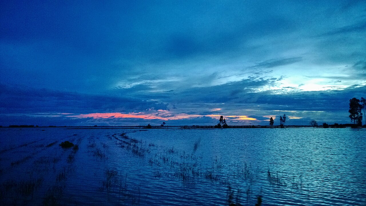
Long An has a tropical monsoon climate with two clearly defined seasons. The dry season runs roughly from December through April: temperatures peak sharply in March and April, nights remain warm, and rainfall is minimal. This is the most comfortable period for movement through the territory, as rural tracks and canal-side paths are passable.
The wet season dominates from May through November. Rainfall builds steadily from May, reaches its heaviest from July through October, and retreats through November. September and October are the wettest months by a considerable margin. During peak flood months, much of the Plain of Reeds fills with water, transforming the landscape and temporarily cutting some rural areas off from road access. This flooding is a distinct feature of the region rather than a hazard to be avoided; it is when the flooded-field ecosystem — including the lotus fields and freshwater fisheries — is at its most active.
Getting there and around
The primary route into the territory from Ho Chi Minh City is National Highway 1, which runs south-west through Tân An and continues toward the Mekong Delta provinces. The journey from central Ho Chi Minh City to Tân An is relatively short by road. Bus services connect Tân An to Ho Chi Minh City's main bus terminals and to other Mekong Delta destinations.
Within the territory, travel is a mixture of road and waterway. The canal network that defines the Plain of Reeds means that boat transport remains practical and common in rural areas, particularly during the wet season when water levels are high. Motorbike is the standard means of local movement on land. There is no rail line through Long An.
What to see and do
The Plain of Reeds — Đồng Tháp Mười — is the defining natural feature. The Láng Sen Wetland Reserve in the north of the territory is one of the few protected areas within the former province and supports a range of waterbirds, including large concentrations of painted storks and other herons. Access is typically by small boat through the reed-lined channels.
The Vàm Cỏ Tây and Vàm Cỏ Đông rivers, which converge near Tân An before joining the Vàm Cỏ River, are central to local life and offer a working-waterway experience distinct from the more visited Mekong main channels to the south. Rural markets, rice-field cycling and canal-boat excursions are common activities for visitors. The area around Mộc Hóa, closer to the Cambodian border, is more remote and sees fewer visitors.
War-era history is also present: the Plain of Reeds was a significant zone of operations during the American War, and several sites relate to that period, though infrastructure for formal heritage tourism is limited.
Where to stay
Accommodation is concentrated in Tân An, which offers a range of guesthouses and mid-range hotels suited to both Vietnamese domestic travellers and occasional international visitors. The town is functional rather than tourist-oriented, and most accommodation operates primarily for business and transit guests.
Outside Tân An, options become sparse. Mộc Hóa and a handful of smaller towns have basic guesthouses. There is very limited formal accommodation within or near the Láng Sen reserve itself; visitors typically arrange day trips from Tân An. Staying overnight in the deeper rural areas generally means relying on homestay arrangements that may require advance contact through local operators.
Common misunderstandings
The most immediate point of confusion is administrative. Since 1 July 2025, Long An no longer exists as a province. Official addresses, maps and government documents now place the area within Tay Ninh. Logistics services, postal addresses and official registrations reflect this change. However, the geographic and cultural identity of the area as "Long An" persists in common speech and is likely to do so for years.
A second common error is conflating Long An with the more-visited Mekong Delta provinces further south, such as Tiền Giang or Bến Tre. Long An is a transitional zone — part delta, part plain — and its landscape and character differ noticeably from the fruit-orchard and river-island territory associated with popular Mekong tourism. Visitors expecting that experience may find Long An less developed for tourism and more oriented toward agriculture and transit.
Finally, the flooded-season landscape is often treated as an obstacle. For those interested in wetland ecology, freshwater fishing culture and the specific visual character of the Plain of Reeds, the wet season offers the most representative experience of the territory.
Klimaat per maand
Langjarige gemiddelden, geen voorspelling. Referentieperiode: 2015–2024. Bron: ERA5 reanalysis (Copernicus) via the Open-Meteo archive API.
Show the numbers
| Maand | Hoog °C | Laag °C | Neerslag mm | Regendagen | Humidity % |
|---|---|---|---|---|---|
| January | 31.5 | 22.6 | 36 | 6 | 72 |
| February | 32.6 | 22.7 | 14 | 2 | 68 |
| March | 34.4 | 24.3 | 18 | 4 | 67 |
| April | 34.5 | 25.4 | 81 | 12 | 71 |
| May | 33.4 | 25.8 | 206 | 26 | 79 |
| June | 31.5 | 25.0 | 228 | 27 | 85 |
| July | 30.7 | 24.7 | 309 | 30 | 86 |
| August | 30.9 | 24.7 | 285 | 29 | 85 |
| September | 30.8 | 24.4 | 341 | 29 | 87 |
| October | 30.6 | 24.0 | 343 | 28 | 87 |
| November | 30.8 | 23.6 | 175 | 20 | 83 |
| December | 30.8 | 22.9 | 72 | 11 | 76 |
Nu onderdeel van
Verwezen door
Bronnen
- ERA5 climate normals — Copernicus / Open-Meteo (CC BY 4.0) geraadpleegd 30 August 2026
Supports: monthly temperature and rainfall normals, and elevation - Long An (Q26573) — Wikidata (CC0 1.0) geraadpleegd 30 August 2026
Supports: coordinates, area, population - Long An — Wikipedia (CC BY-SA 4.0) geraadpleegd 30 August 2026
Supports: background
Current Laatst geverifieerd: 31 August 2026. Rules, fares and prices change — check the official source before acting on anything here. Report a mistake.
Picture credits (4)
A field in the north of Tuyên Bình Tây, TUIBAJAVE, CC BY-SA 4.0, Wikimedia Commons · trungydang, CC BY 3.0, Wikimedia Commons · trungydang, CC BY 3.0, Wikimedia Commons · trungydang, CC BY 3.0, Wikimedia Commons