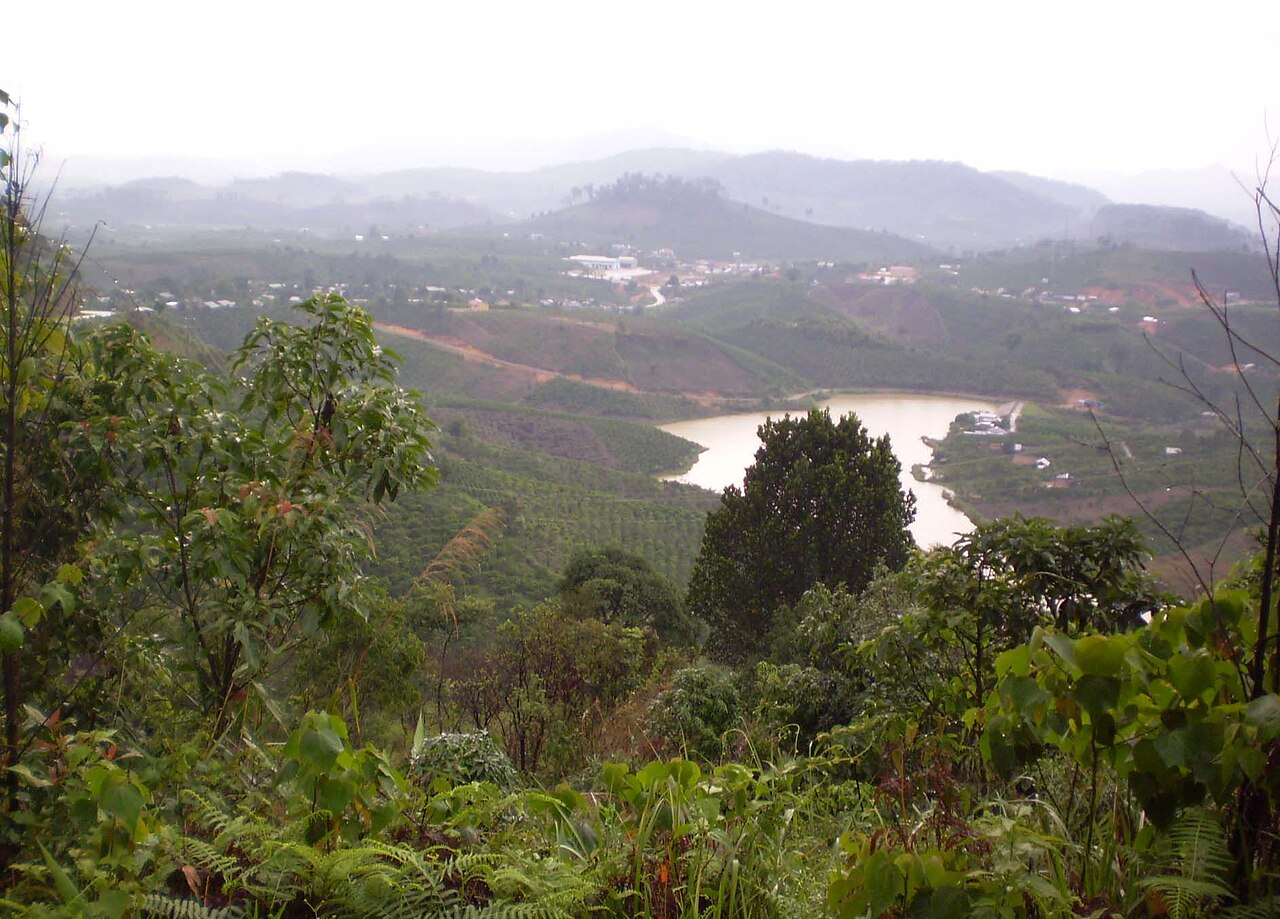
National Assembly Resolution 202/2025/QH15 on the rearrangement of provincial-level administrative units
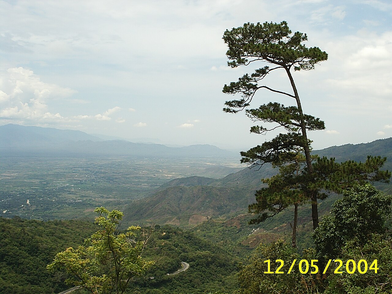
What Lam Dong Is Today
From 1 July 2025, Vietnam reorganised its 63 provincial-level units into 34, abolishing the district tier entirely. The current province of Lam Dong was formed by merging the former provinces of Lam Dong, Dak Nong and Binh Thuan. Its administrative centre is Da Lat.
The merger united three quite different territories: the cool Da Lat plateau and pine-clad hills of old Lam Dong; the basalt highlands and crater lakes of former Dak Nong; and the coastal sand dunes and fishing beaches of former Binh Thuan, including Mui Ne. Governance is now handled at province and commune level only — there are no current administrative districts. The places themselves have not moved or changed; only the administrative boundaries are new.
Lam Dong sits within the broader Central Highlands region and shares borders with Dak Lak and Khanh Hoa, the latter containing Nha Trang.
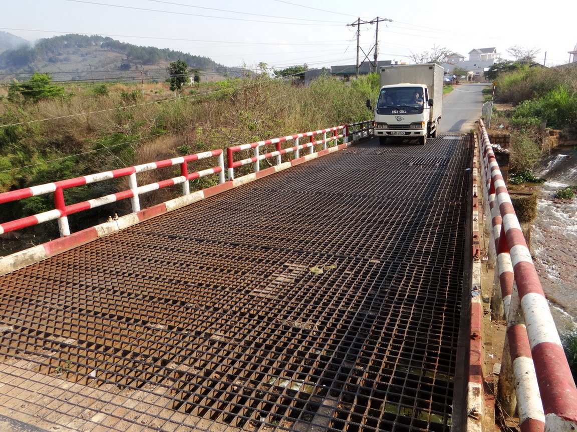
Landscape and Character
The dominant feature of Lam Dong is elevation. The Lang Biang Plateau, on which Da Lat sits at roughly 1,480 metres, gives the province a temperate feel unusual in tropical Southeast Asia. Pine forests of Pinus kesiya cover hillsides alongside strawberry farms, hydrangea nurseries and vast greenhouse complexes producing vegetables and cut flowers for markets across Vietnam.
To the north and west, the terrain drops into the volcanic basalt country of former Dak Nong, where waterfalls plunge into forested valleys and the Dak Nong UNESCO Global Geopark protects an extensive system of lava tubes. South and east, the land falls sharply — the Di Linh and Bao Loc plateaux produce some of Vietnam's most commercially significant green tea and mulberry for silk production — before descending to the narrow coastal plain of former Binh Thuan, with its red and white sand dunes and the kite-surfing beaches around Mui Ne.
Ethnic minority communities, including the K'Ho, Chu Ru, Mnong and Ede peoples, have inhabited these highlands for centuries and remain a significant cultural presence throughout the province.
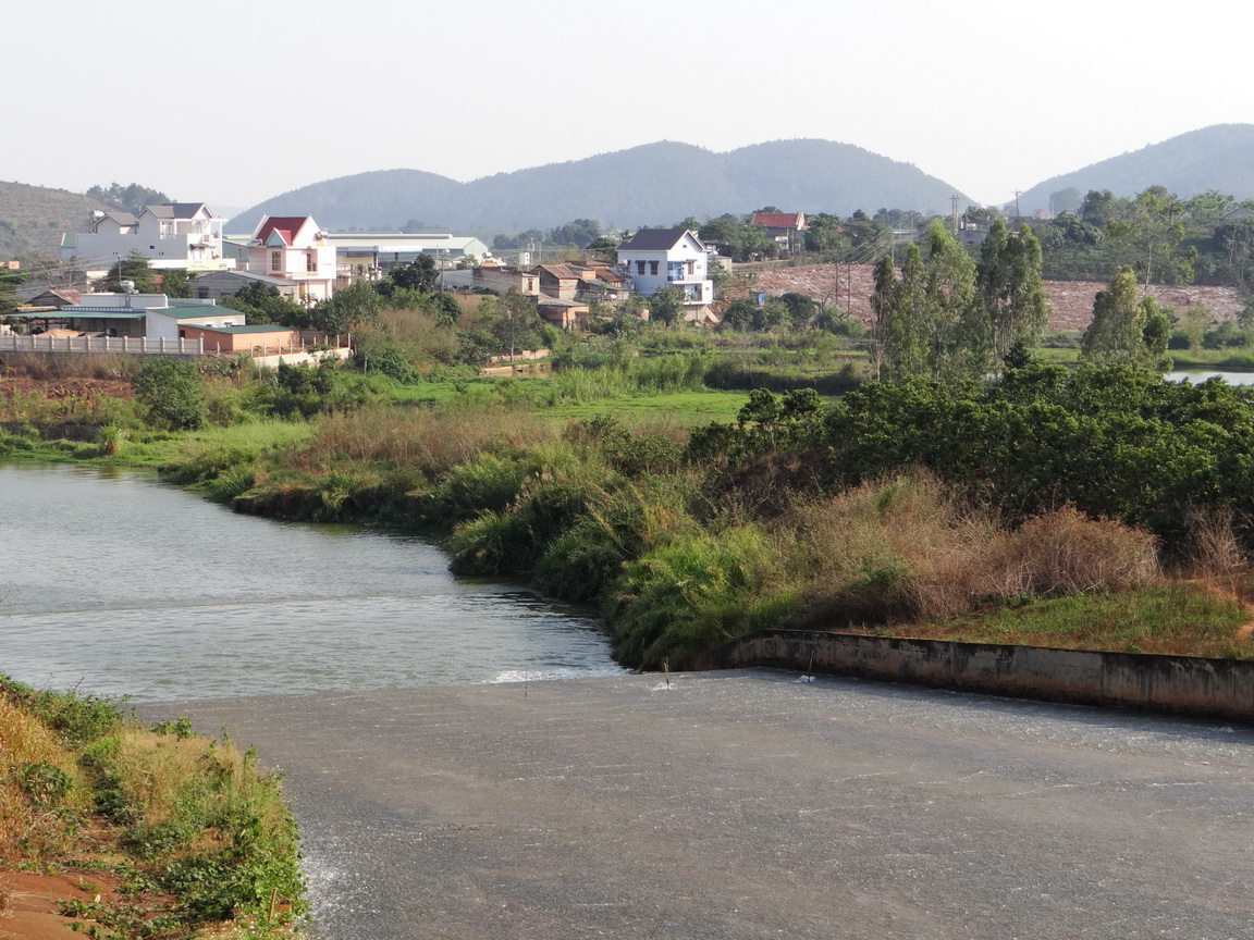
Climate and When to Go
The climate in Lam Dong's highland core is shaped by altitude, not only by latitude. Da Lat experiences mild temperatures year-round, rarely reaching the heat of the coast or lowland Vietnam. The year divides into a pronounced dry season and a wet season, though the transition is gradual rather than abrupt.
January and February are the driest and sunniest months, with minimal rainfall and cool nights. Temperatures climb through March and April, which bring the first significant showers. By May the wet season is established: rainfall increases sharply through June, July and August, and reaches its peak in September and October, when afternoon and evening downpours are common and mist frequently settles over the hills. November marks the retreat of the rains, and December is dry but cool.
The Mui Ne coastal area follows a different pattern — it is drier and sunnier in the highland wet season, which makes it a complementary destination for visitors combining both parts of the province. For general planning, see When to go: weather by region.
- Dry season (Nov–Apr): clearest skies, busiest tourism period in Da Lat, peak flower festival season.
- Wet season (May–Oct): lush green landscapes, fewer visitors in the highlands, waterfalls at full flow, potentially muddy tracks.
Getting There and Around
Da Lat Lien Khuong Airport receives domestic flights from Hanoi, Ho Chi Minh City and several other Vietnamese cities. The airport sits on the plateau south of the city. There is currently no direct international scheduled service, though this is subject to change.
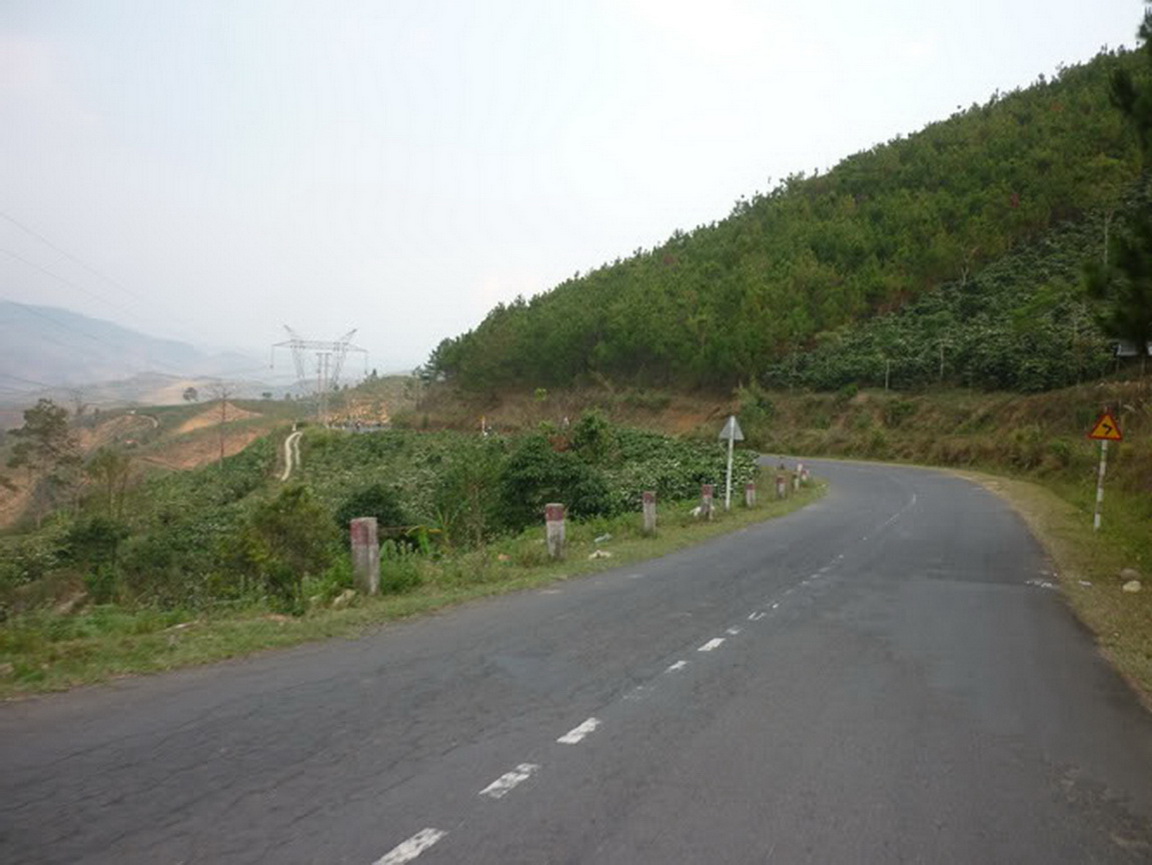
Overland, Da Lat is connected to Ho Chi Minh City, Nha Trang and the coast by national highways. The road from Nha Trang climbs steeply through mountain passes and is scenic but slow. Open-tour sleeper buses serve the route from Ho Chi Minh City; the journey takes a number of hours depending on route and conditions.
The Mui Ne coast is accessible by road from Ho Chi Minh City or from Da Lat via the descent through Bao Loc and Di Linh. Phan Thiet, the main urban centre in the former Binh Thuan area, has a railway station on the north–south main line.
Within the province, travel between the highland plateau and the coast involves significant elevation change. Self-drive motorbikes are widely used by travellers, though roads in highland areas can be narrow and wet-season surfaces challenging. Hired cars with drivers are available from Da Lat for day excursions. There are no current administrative districts — navigation and addressing is by province and commune.
Things to See and Do
The historic core of Da Lat contains French colonial villas, the Dalat Railway Station (a 1930s building no longer on the main line), Xuan Huong Lake and the Bao Dai Summer Palace, a former royal retreat. The Da Lat Market is a working produce market selling the province's flowers, strawberries, avocados, artichokes and wine grapes.
Outside the city, Langbiang Mountain offers trekking to viewpoints above the plateau. Elephant Falls (Thac Voi) near Nam Ban is one of the more accessible large waterfalls. The Valley of Love and Tuyen Lam Lake are popular with domestic visitors. Coffee and tea plantation visits are possible around Bao Loc and Di Linh, where facilities for visitors range from informal farm stops to structured tours.
In the Dak Nong area, the lava tube system of the Dak Nong Geopark — gazetted as a UNESCO Global Geopark in 2020 — includes Dray Nur and Dray Sap waterfalls and archaeological sites within the tubes themselves. The Mnong community around Buon Dak Nong has a tradition of gong ceremonies recognised under UNESCO's intangible cultural heritage list.
On the coast, Mui Ne is known for its red and white sand dunes, the Fairy Stream (Suoi Tien), and kitesurfing conditions driven by consistent seasonal winds.
Where to Stay
Accommodation in Lam Dong concentrates in three main areas, each with a distinct character.
- Da Lat city centre and surroundings: the widest range of options, from converted colonial villas and boutique guesthouses in the central streets to large resort hotels on the pine-covered hillsides above the lake. Truc Lam is a quieter area favoured for longer stays.
- Bao Loc and Di Linh: smaller towns with functional guesthouses and a small number of eco-lodge style properties near tea plantations; useful as a stop on the road between Da Lat and Ho Chi Minh City.
- Mui Ne coast (former Binh Thuan): beach resorts, bungalow clusters and budget guesthouses along the coastal strip, with concentration around Mui Ne village and Ham Tien.
The Dak Nong area has limited dedicated tourist accommodation; most visitors day-trip from Da Lat or from Buon Ma Thuot in neighbouring Dak Lak.
Common Misunderstandings
The province is not just Da Lat. Many visitors treat Lam Dong and Da Lat as synonymous, missing the tea country around Bao Loc, the geopark geology of the former Dak Nong area, and the entirely different coastal environment around Mui Ne — all now within the same administrative province.
The climate varies considerably within the province. Visitors expecting the cool plateau conditions of Da Lat will find the Mui Ne coast hot and dry, particularly between November and April. The two zones can differ by 10 to 15 degrees Celsius in daily maximums.
Districts no longer exist. Since July 2025, addresses and navigation use province and commune only. Maps and apps may still show former district names during a transition period; these are historical references rather than current administrative reality.
Wet-season travel in the highlands is manageable but requires preparation. Roads can be slippery and visibility can drop. Afternoon rain is almost guaranteed from May to October. This does not make travel impossible, but light clothing and open footwear suited to highland conditions are not always adequate.
For practical preparation, see Vietnam e-visa, Money, ATMs and cards, SIM cards and eSIMs and Safety and common scams.
Khí hậu theo tháng
Số liệu trung bình dài hạn, không phải dự báo. Kỳ tham chiếu: 2015–2024. Nguồn: ERA5 reanalysis (Copernicus) via the Open-Meteo archive API.
Show the numbers
| Tháng | Nhiệt độ cao °C | Thấp °C | Lượng mưa (mm) | Ngày mưa | Humidity % |
|---|---|---|---|---|---|
| January | 21.7 | 13.1 | 31 | 7 | 79 |
| February | 23.1 | 13.1 | 24 | 5 | 72 |
| March | 25.5 | 14.3 | 49 | 9 | 69 |
| April | 25.4 | 15.4 | 97 | 15 | 76 |
| May | 24.2 | 16.3 | 204 | 26 | 86 |
| June | 22.7 | 16.3 | 193 | 26 | 90 |
| July | 22.0 | 16.3 | 234 | 30 | 91 |
| August | 22.3 | 16.4 | 226 | 28 | 91 |
| September | 22.2 | 15.9 | 291 | 28 | 91 |
| October | 22.0 | 15.5 | 264 | 25 | 89 |
| November | 21.8 | 15.1 | 147 | 15 | 86 |
| December | 20.7 | 14.0 | 64 | 9 | 85 |
Places within Lam Dong
Where it is
Also known as / see also
Lân cận
Đã sáp nhập
Được tham chiếu bởi
Các nguồn
- ERA5 climate normals — Copernicus / Open-Meteo (CC BY 4.0) đã truy cập 30 August 2026
Supports: monthly temperature and rainfall normals, and elevation - Lam Dong (Q36721) — Wikidata (CC0 1.0) đã truy cập 30 August 2026
Supports: coordinates, area, population - Lam Dong — Wikipedia (CC BY-SA 4.0) đã truy cập 30 August 2026
Supports: background
Current Đã xác minh lần cuối: 31 August 2026. Rules, fares and prices change — check the official source before acting on anything here. Report a mistake.
Picture credits (7)
Da K’Nang commune, Dam Rong district, Lam Dong, DXLINH, CC BY-SA 3.0, Wikimedia Commons · Deo Ngoan Muc 2, vi:User:Nnqhn, CC BY-SA 3.0, Wikimedia Commons · Cau Cam Ly Thuong-NamBan-LamHa (01), Tan218ntl, CC BY-SA 3.0, Wikimedia Commons · Dap tran ho Cam Ly thuong (01), Tan218ntl, CC BY-SA 3.0, Wikimedia Commons · QL27 Deo Phu Son (01), Tan218ntl, CC BY-SA 3.0, Wikimedia Commons · Đà Lạt năm 2013, sáng sớm nhìn qua cửa khách sạn (4), Phương Huy, CC BY-SA 4.0, Wikimedia Commons · Fresh live sea-food sold in Mui Ne, Rudolph.A.Furtado, CC0, Wikimedia Commons