The place itself has not changed, and this page continues to cover it.
National Assembly Resolution 202/2025/QH15 on the rearrangement of provincial-level administrative units
Administrative status
Kon Tum was a province of Vietnam from some point in the modern administrative era until 30 June 2025, when it was merged into Quang Ngai as part of a nationwide consolidation that reduced Vietnam's 63 provincial-level units to 34 and abolished the district tier entirely. The area is now governed under Quang Ngai province in a two-tier province/commune system.
The merger is an administrative change only. The city of Kon Tum, the surrounding villages, the Dak Bla River, the highland roads and the ethnic-minority communities are all where they have always been. Nothing geographic was renamed or relocated.
What the area is known for
The city of Kon Tum sits at around 1,100 metres above sea level on the Dak Bla River, close to the borders with Laos and Cambodia — a junction that shaped its history under both French colonial administration and during the American War, when the Battle of Kontum in 1972 was one of the most intense engagements of the conflict.
- Bahnar culture: The Bahnar (Ba Na) people are the most prominent of several ethnic groups in the area. Their rong communal houses — tall, steeply thatched structures — remain in use in villages around the city. The Kon Tum Seminary and surrounding area preserve a tradition of wooden Catholic churches built in a hybrid Bahnar-Gothic style, most notably Kon Tum Cathedral (the Wooden Church), constructed in the early twentieth century.
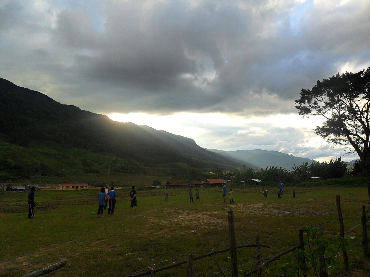
- Minority villages: Kon Kơ Tu and Kon Jơri are among the Bahnar villages accessible by crossing the Dak Bla on suspension footbridges; woven goods and traditional instruments such as the đing tút (bamboo flute) and cồng chiêng (gong sets) are part of everyday cultural life.
- War history: The Battle of Kontum site and several memorials are located near the city centre.
Getting there and away
Kon Tum city does not have its own commercial airport. The nearest functioning airport is at Pleiku, in the adjacent Gia Lai area, roughly 50 km to the south; from Pleiku, road transport connects to Kon Tum city along National Highway 14.
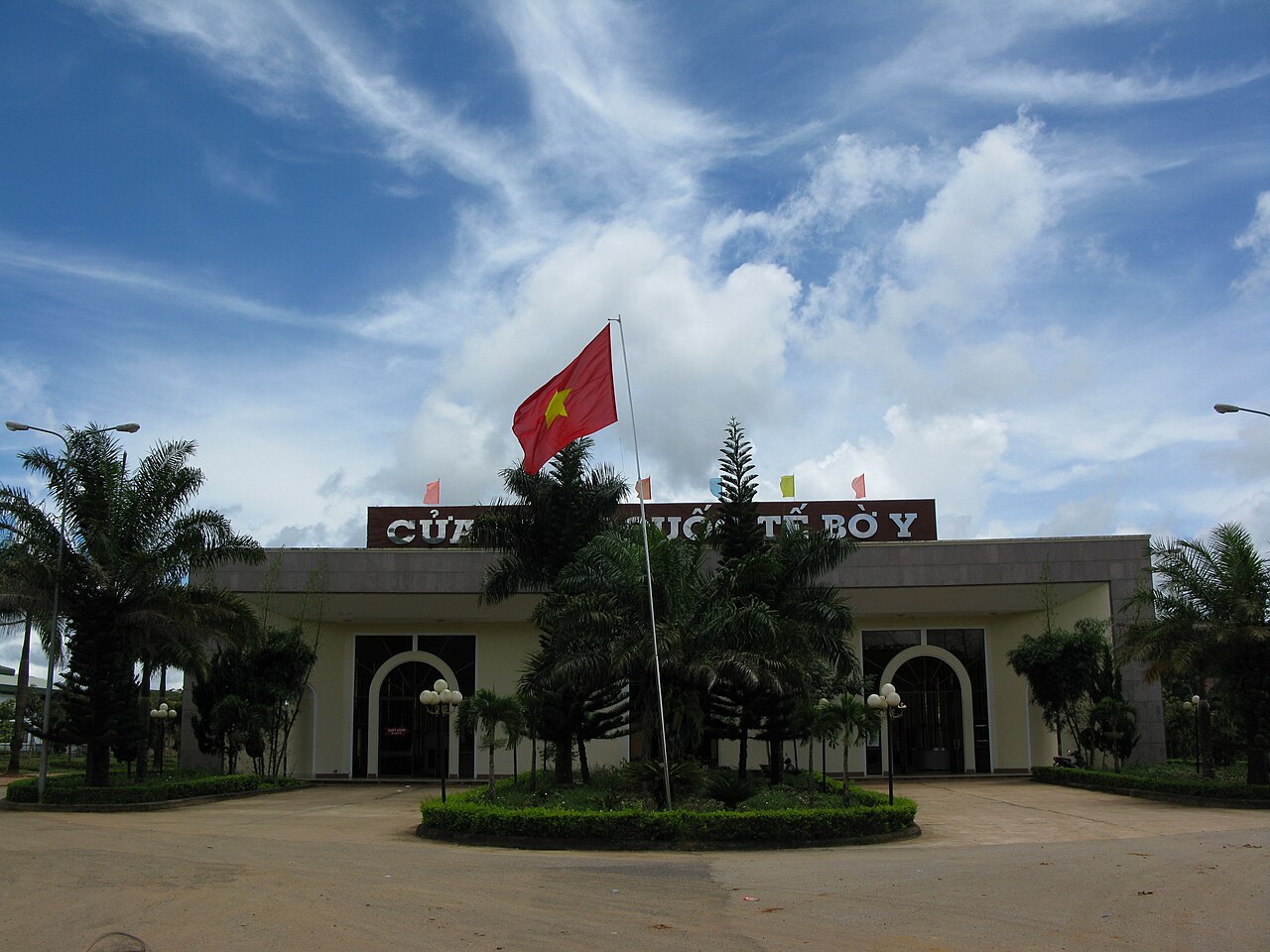
Overland, the city sits on Highway 14, part of the Ho Chi Minh Road corridor running north–south through the Central Highlands. Buses and open-tour coaches connect the city to Ho Chi Minh City, Da Nang, Hoi An, and Pleiku. The road north toward Ngoc Hoi and the Lao border at Bo Y is also Highway 14, and a border crossing to Laos exists at that point, though its status for foreign nationals should be checked against current regulations before travel.
Highway 40 runs westward toward the Cambodian border. Routes into the highlands are generally in reasonable condition on the main highways but can deteriorate on minor roads, particularly after heavy rain.
Climate and when to visit
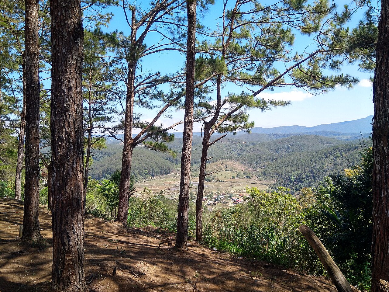
The area has a pronounced highland climate shaped by elevation. Temperatures are mild year-round by Vietnamese standards, with cool nights even in the warmest months and genuinely cold nights from December through February.
The year divides into two clear phases. A dry season runs roughly from November through March: rainfall is very low, skies are often clear, and temperatures during the day are comfortable. January and February are the coolest months, with night temperatures dropping significantly. This period is generally the easiest for road travel and village visits.
The wet season begins building in April, with rainfall increasing sharply through May and peaking across July, August and September, when monthly totals are very high. July and September are typically the wettest months. Roads at lower elevations and on unpaved tracks can become difficult; some river crossings may be affected. The landscape is intensely green during this period. October and November see a rapid decline in rainfall as the dry season reasserts itself.
Things to see and do
Within and around the city:
- Kon Tum Cathedral (Wooden Church): Built by French missionaries in the early twentieth century using local timber and Bahnar architectural elements; still an active parish church.
- Kon Tum Seminary: A complex of colonial-era buildings adjacent to the cathedral, including an orphanage with a long history of care for local minority children.
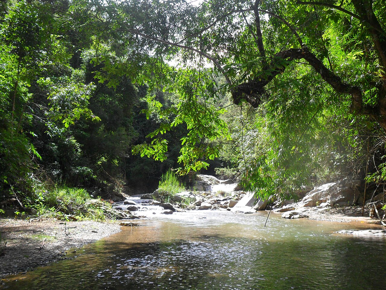
- Dak Bla River: The river that bends around the northern edge of the city; traditional dugout canoes are still used locally. Suspension bridges connect to Bahnar villages on the far bank.
- Rong houses: Communal longhouses visible in Bahnar villages; Kon Kơ Tu is among the most often visited.
- Nguc Kon Tum Prison: A former colonial-era detention facility now preserved as a historical site.
Further afield, the area around Ngoc Linh mountain — at over 2,600 metres the highest peak in the Central Highlands — is known for sâm Ngọc Linh, a ginseng variety endemic to those elevations and commercially significant in Vietnamese medicine.
Accommodation and the city layout
The city of Kon Tum is compact. Most guesthouses and smaller hotels are concentrated near the central market area and along the riverside. A small number of larger hotels exist; accommodation overall leans toward the modest and locally run rather than international-chain properties.
The riverside area near the Dak Bla is the most atmospheric part of the city for walking. The area south of the cathedral contains the main concentration of historic buildings. The market is a working local market rather than a tourist-oriented one, selling highland produce including sâm Ngọc Linh preparations, local coffee and woven textiles.
Village stays with Bahnar families exist in some communities, though these are not standardised and arrangements vary considerably in formality and facilities.
Common misunderstandings
Administrative confusion: Since 1 July 2025, Kon Tum no longer exists as a separate province. Travellers researching the area may find older sources still describing it as a province; those sources are out of date. The area is now part of Quang Ngai province. The city and its surroundings are unchanged.
Road conditions: The main highways are generally paved and passable, but secondary roads to highland villages, especially during or after the wet season, can require high-clearance vehicles. The Central Highlands are not flat; gradients can be significant.
Border crossings: The Bo Y border crossing to Laos exists but its operational status and eligibility for different nationalities changes; it should not be assumed open without checking current information.
Ngoc Linh ginseng: Products sold as sâm Ngọc Linh vary considerably in authenticity and provenance; the genuine highland-grown variety is expensive and subject to considerable counterfeiting in the market.
月別気候
長期平均値であり、予報ではありません。 参照期間: 2015–2024. 出典: ERA5 reanalysis (Copernicus) via the Open-Meteo archive API.
Show the numbers
| 月 | 最高気温 °C | 最低気温 °C | 降水量(mm) | 雨天日数 | Humidity % |
|---|---|---|---|---|---|
| January | 23.2 | 13.6 | 10 | 3 | 75 |
| February | 25.1 | 13.7 | 9 | 3 | 71 |
| March | 27.9 | 15.8 | 41 | 7 | 70 |
| April | 28.0 | 17.3 | 81 | 13 | 75 |
| May | 26.8 | 18.2 | 206 | 25 | 85 |
| June | 25.2 | 18.3 | 259 | 29 | 89 |
| July | 24.3 | 18.1 | 415 | 30 | 92 |
| August | 24.5 | 18.0 | 376 | 30 | 91 |
| September | 24.7 | 17.4 | 415 | 27 | 90 |
| October | 24.4 | 16.5 | 273 | 19 | 86 |
| November | 24.0 | 16.1 | 74 | 9 | 81 |
| December | 22.3 | 14.8 | 34 | 3 | 78 |
現在は一部
参照元
出典
- ERA5 climate normals — Copernicus / Open-Meteo (CC BY 4.0) アクセス日 30 August 2026
Supports: monthly temperature and rainfall normals, and elevation - Kon Tum (Q36315) — Wikidata (CC0 1.0) アクセス日 30 August 2026
Supports: coordinates, area, population - Kon Tum — Wikipedia (CC BY-SA 4.0) アクセス日 30 August 2026
Supports: background
Current 最終確認: 31 August 2026. Rules, fares and prices change — check the official source before acting on anything here. Report a mistake.
Picture credits (4)
Bo Y Border Gate, Kon Tum Province, Viet Nam, Phó Nháy ( talk ), Public domain, Wikimedia Commons · Măng Đen 2, Liverpoolmylove, CC BY-SA 4.0, Wikimedia Commons · Stream in Kon Tum 3, Violetbonmua, CC BY-SA 3.0, Wikimedia Commons · Sunset 4, Violetbonmua, CC BY-SA 3.0, Wikimedia Commons