Overview
Kon Tum town sits on the northern bank of the Dak Bla River at roughly 530 metres elevation, within the central highlands region Vietnam calls the Tây Nguyên. Following the provincial consolidation of 1 July 2025, it is administered within Kon Tum province, which is now part of the merged Quang Ngai province. The town itself remains unchanged in character and geography by that administrative change.
It is a quieter destination than Dalat or Buon Ma Thuot, attracting travellers interested in highland minority cultures, French colonial religious architecture, and the landscape associated with the Ho Chi Minh Trail corridor. Nearby provinces Gia Lai to the south and Dak Lak further south are commonly paired with it on longer plateau itineraries.
The wooden cathedral and seminary
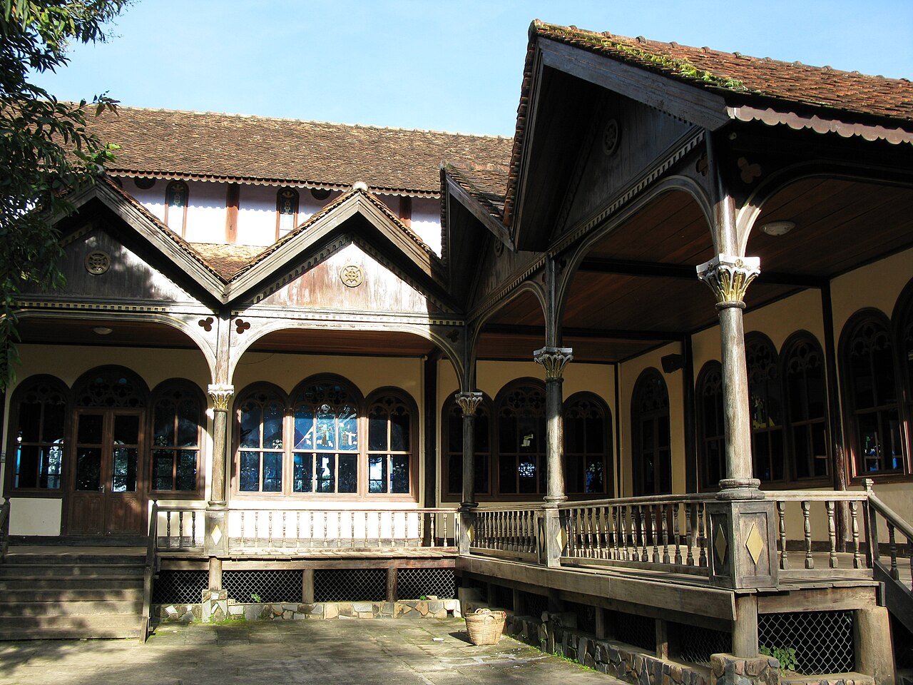
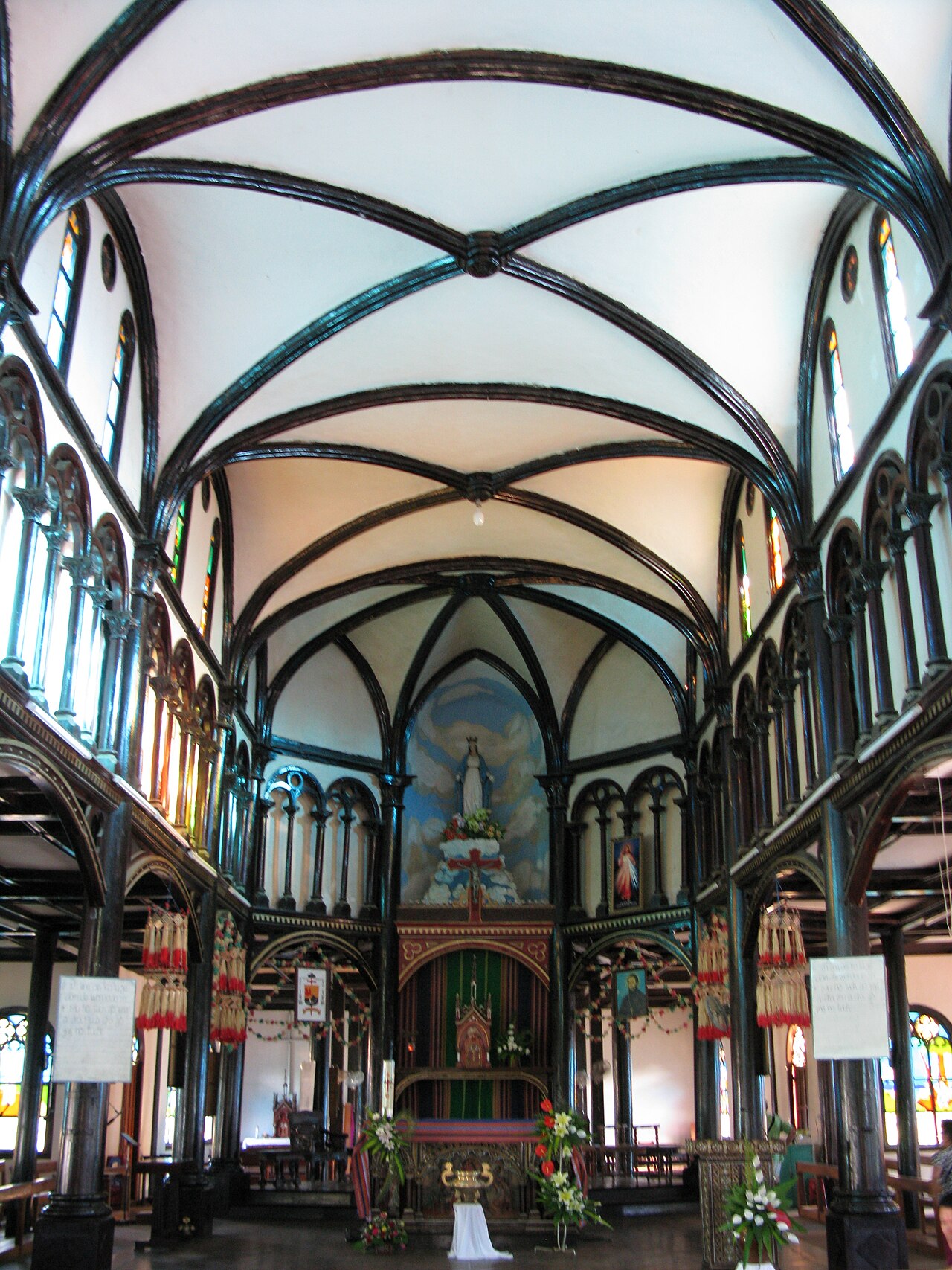
The most visited structure in Kon Tum is the Church of the Immaculate Conception, commonly called the Kon Tum wooden cathedral. Built between 1913 and 1918 under French missionary direction, it combines a Romanesque basilica plan with construction in dark tropical timber and decorative details drawn from Bahnar communal architecture — most visibly in the pointed gable motifs above the entrance. The interior retains painted wooden statues and stained-glass panels.
Adjacent to the cathedral stands the Cuenot Seminary, established by the Paris Foreign Missions Society in the nineteenth century. The seminary complex includes an orphanage building and a small museum displaying objects relating to the Bahnar people and missionary history in the highlands. Photography is generally permitted inside the church but visitors are expected to dress modestly and keep noise low, particularly during services.
Bahnar and Jarai villages
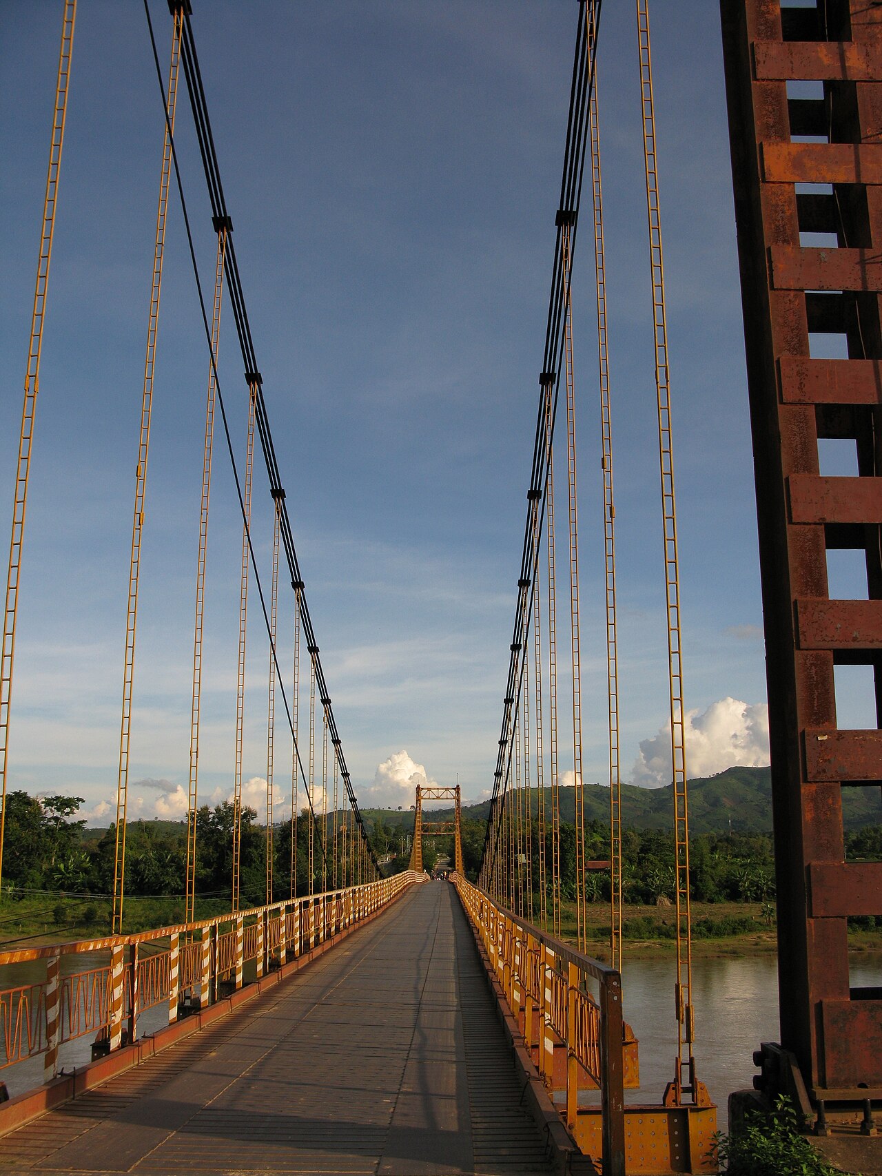
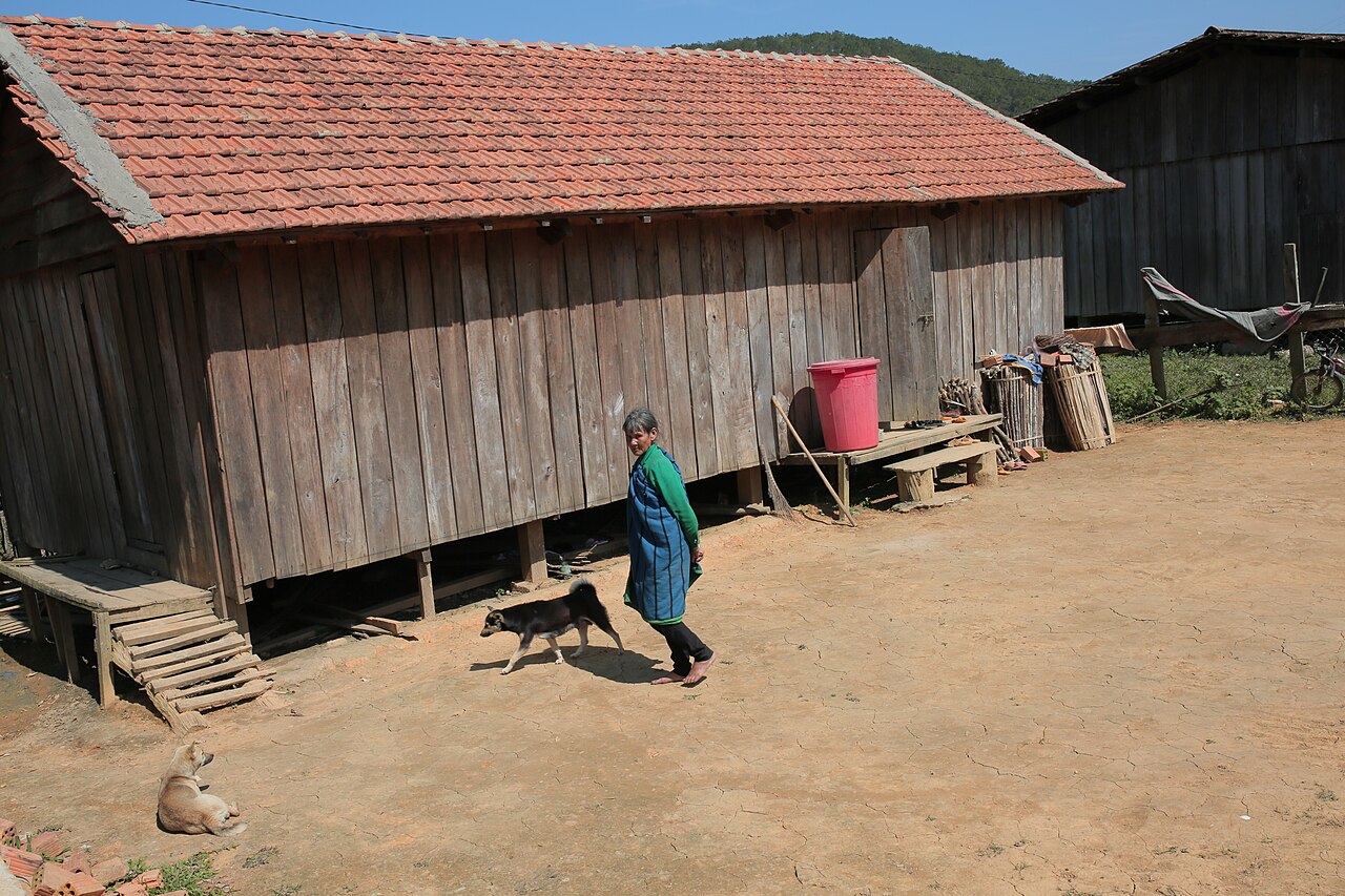
Several Bahnar and Jarai villages lie within a short distance of the town centre, some reachable on foot across the suspension bridge over the Dak Bla, others by bicycle or motorbike. Bahnar and Jarai are Austronesian and Mon-Khmer speaking groups respectively, with distinct material cultures, weaving traditions, and ritual calendars.
The most visible architectural feature is the rong, a communal longhouse raised on stilts with a steeply pitched thatched roof that can reach fifteen metres or more in height. The rong functions as a meeting place, ceremonial venue, and the social centre of village life. Visitors entering a village should approach through the rong or seek acknowledgement from residents rather than walking directly to private houses. Purchasing woven cloth, baskets or jewellery directly from producers is one way to support household incomes. Some villages experience organised group visits; those arriving independently will find a quieter reception outside peak domestic holiday periods.

Ho Chi Minh Trail history
The highlands around Kon Tum formed a critical section of the logistical network the North Vietnamese military developed from the late 1950s onward to move personnel and materiel southward — known in the West as the Ho Chi Minh Trail and in Vietnam as the Đường Trường Sơn, or Truong Son Road. The terrain of deep valleys and dense forest made the region both strategically important and difficult to interdict.
Kon Tum town itself was the site of a prolonged and destructive battle in 1972, during the Easter Offensive, when North Vietnamese forces besieged the town for several months before being repelled. The battle left extensive damage and is a significant, if sombre, reference point in local memory. Remnants of the period — bunkers, memorial sites, repurposed military hardware — appear in and around the town. The provincial museum holds exhibits on both the American war period and earlier French colonial and resistance history.
Climate and when to visit
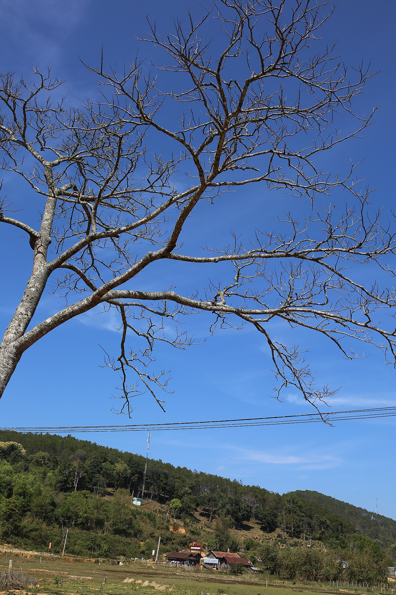
Kon Tum's climate follows the central highland pattern, which is broadly the inverse of the coastal lowlands. The dry season runs from roughly November through April, when days are warm to hot and rainfall is minimal — this is the most comfortable period for travel, village visits and motorcycle routes into surrounding hills. Temperatures peak sharply in March and April before the monsoon arrives.
From May onward, monthly rainfall rises steeply, reaching its heaviest between July and September. Afternoons frequently bring heavy downpours and some rural tracks become impassable. October and November see a gradual easing. The cooler nights of the dry season, a result of the 530-metre elevation, are a meaningful contrast to coastal cities at the same latitude. See When to go: weather by region for a broader comparison.
Getting there and getting around
Kon Tum has no airport; the nearest with regular domestic connections is Pleiku Airport in Gia Lai province, roughly 50 kilometres to the south. Open-tour buses and local coaches connect the town with Quang Ngai on the coast, as well as with Buon Ma Thuot to the south. Journey times vary significantly with road conditions and route.
Within the town, the distances are modest and cycling is practical for reaching the cathedral, the market, and the nearer riverside villages. Motorbike hire is the standard choice for reaching villages further out and for the scenic roads that run north and west toward the Cambodian and Laotian border zones — areas requiring attention to current permit requirements, which change periodically. Consult Safety and common scams and check visa conditions at Vietnam e-visa before planning border-adjacent travel.
Practical notes
ATM coverage in Kon Tum town is adequate for a highland centre, with several bank branches near the central market, though reliability can be intermittent — see Money, ATMs and cards. Mobile data coverage on major networks is good in town and along main roads; it thins considerably in remote valleys. Buying or activating a local SIM before leaving a larger city is advisable; see SIM cards and eSIMs.
Accommodation ranges from guesthouses near the market to a small number of mid-range hotels. Prices vary by season, with higher rates during Vietnamese national holidays when domestic visitors fill the town. The local cuisine reflects both Vietnamese highland cooking and Bahnar ingredients: dishes using wild vegetables, freshwater fish from the Dak Bla, and rice wine (rượu cần) served communally through long bamboo straws are characteristic of the region.
Climat par mois
Moyennes à long terme, pas une prévision. Période de référence: 2015–2024. Source: ERA5 reanalysis (Copernicus) via the Open-Meteo archive API.
Show the numbers
| Mois | Température max °C | Min °C | Pluie mm | Jours de pluie | Humidity % |
|---|---|---|---|---|---|
| January | 28.0 | 16.3 | 6 | 2 | 70 |
| February | 30.1 | 16.6 | 4 | 1 | 66 |
| March | 33.1 | 18.7 | 23 | 3 | 64 |
| April | 33.5 | 20.6 | 48 | 9 | 69 |
| May | 31.4 | 21.7 | 150 | 22 | 81 |
| June | 28.9 | 21.7 | 212 | 28 | 87 |
| July | 27.9 | 21.5 | 296 | 30 | 89 |
| August | 28.0 | 21.5 | 264 | 30 | 89 |
| September | 28.0 | 20.8 | 289 | 26 | 89 |
| October | 28.1 | 19.6 | 213 | 18 | 85 |
| November | 28.1 | 18.8 | 77 | 7 | 79 |
| December | 27.0 | 17.5 | 30 | 2 | 74 |
Where it is
Also known as / see also
À proximité
Référencé par
Sources
- ERA5 climate normals — Copernicus / Open-Meteo (CC BY 4.0) consulté 30 August 2026
Supports: monthly temperature and rainfall normals, and elevation - Vietnam National Authority of Tourism — VNAT consulté 29 August 2026
Supports: the rules and definitions on this page - Kon Tum — Wikipedia (CC BY-SA 4.0) consulté 30 August 2026
Supports: background - Kon Tum (tỉnh) — Wikipedia (Vietnamese) (CC BY-SA 4.0) consulté 31 August 2026
Supports: background, Vietnamese edition
Current Dernière vérification: 31 August 2026. Rules, fares and prices change — check the official source before acting on anything here. Report a mistake.
Picture credits (6)
Kon Tum wooden catholic church 2, Phó Nháy ( talk ), Public domain, Wikimedia Commons · Konklor Bridge, Kon Tum City, Kon Tum, Viet Nam, Phó Nháy ( talk ), Public domain, Wikimedia Commons · Wooden catholic church Kon Tum 2, Phó Nháy ( talk ), Public domain, Wikimedia Commons · Cuoc-song-nguoi-dong-bao-tai-lang-kon-pring-thi-tran-mang-den-kon-tum-27, Đào Phúc Quang Vũ, CC BY-SA 4.0, Wikimedia Commons · Mua ho dao o mang den tinh kon tum 010, Đào Phúc Quang Vũ, CC BY-SA 4.0, Wikimedia Commons · Cuoc-song-nguoi-dong-bao-tai-lang-kon-pring-thi-tran-mang-den-kon-tum-23, Đào Phúc Quang Vũ, CC BY-SA 4.0, Wikimedia Commons