National Assembly Resolution 202/2025/QH15 on the rearrangement of provincial-level administrative units
Overview and administrative context
Khanh Hoa province, as it exists from 1 July 2025, was formed by merging the former provinces of Ninh Thuan and the previous Khanh Hoa into a single provincial unit under Vietnam's nationwide restructuring. The district tier has been abolished; administration now runs directly between the province and commune level. The provincial centre is Nha Trang.
The merger joined a stretch of coastline running from the granite headlands and drier scrub around Phan Rang–Tháp Chàm in the south to the bay system around Nha Trang and the fishing port of Cam Ranh in the north. The physical geography, the towns, the roads and the cultural character of both former provinces are unchanged by the administrative reorganisation. Places that existed before 2025 remain where they are under the same local names.
Khanh Hoa sits within the broader South Central Coast region and shares land borders with Dak Lak and Lam Dong to the west.
Landscape and character
The province runs along a narrow coastal plain backed by the Truong Son range. The terrain shifts noticeably from north to south: the area around Nha Trang and Van Phong Bay has a greener, more humid character with sheltered bays, while the former Ninh Thuan territory to the south is one of the driest places in Vietnam, supporting sand dunes, sparse scrub vegetation and vineyards that produce table grapes sold across the country.
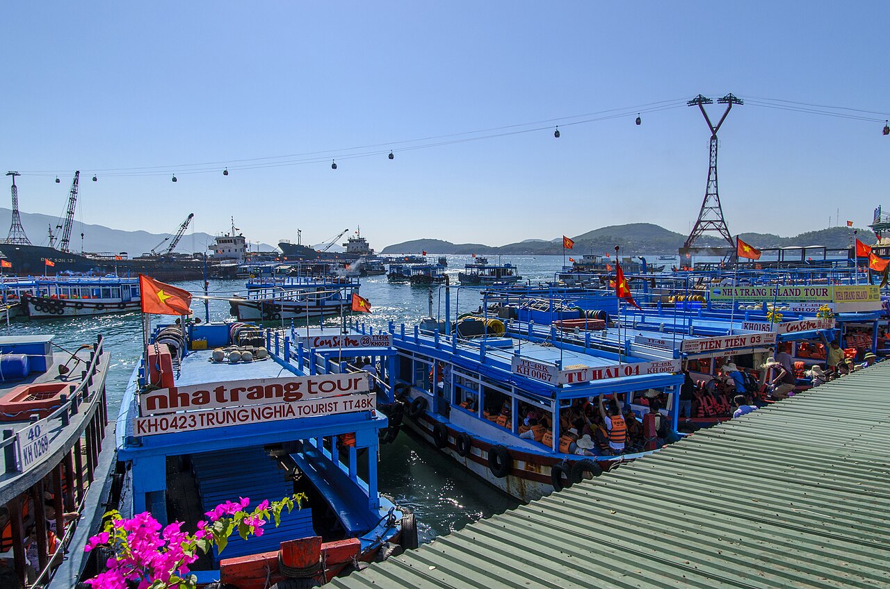
Offshore, the province includes a number of islands. Hon Tre (Bamboo Island) is the largest in Nha Trang Bay and hosts a large cable-car-linked resort development. The Con Dao archipelago, often associated with this coastline in traveller literature, is administratively separate. Cam Ranh Bay, historically significant as a deep-water anchorage, now anchors an expanding resort corridor south of Nha Trang city.
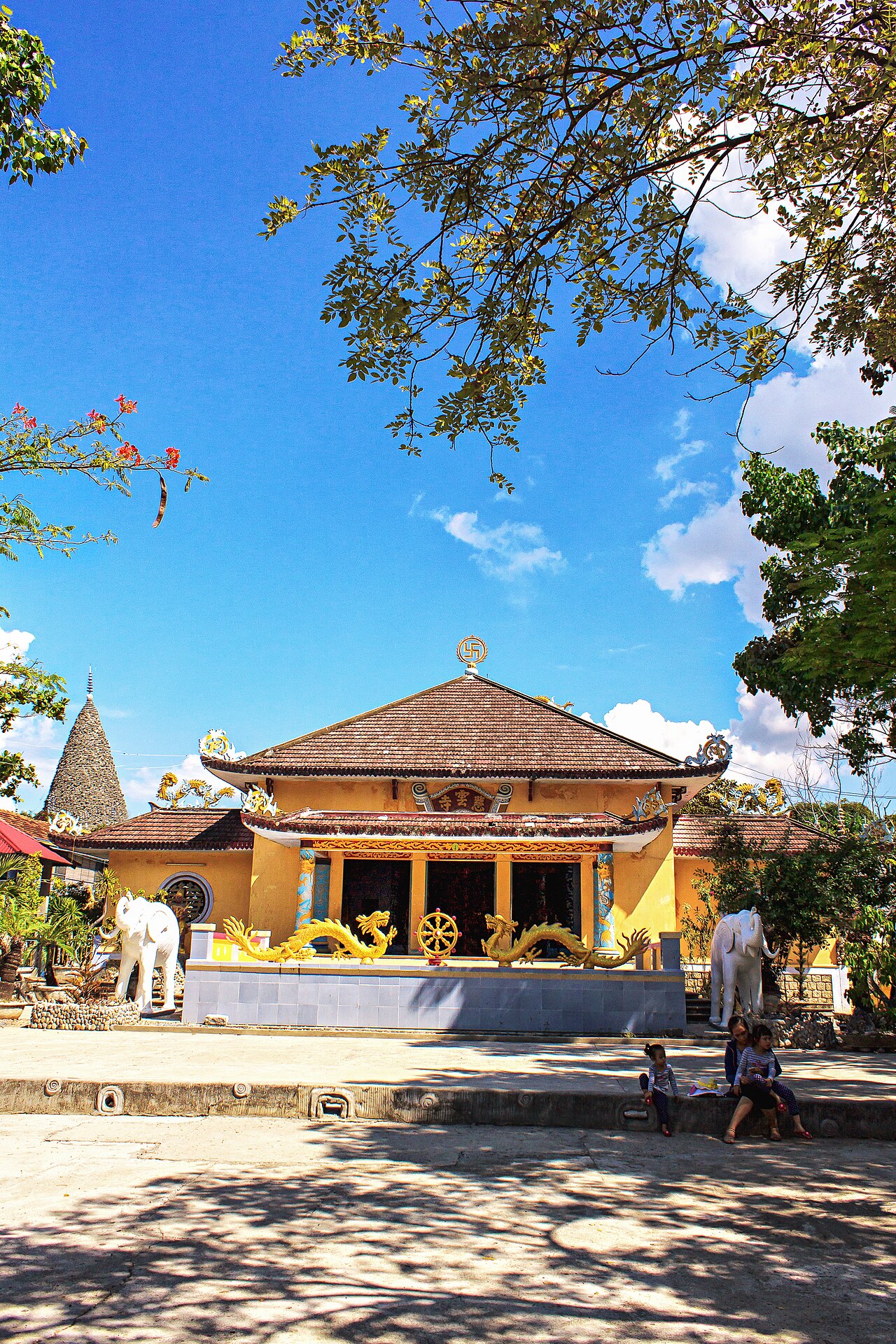
Inland, the western edge of the province rises into highland terrain that connects to the Central Highlands of Dak Lak. The Cham cultural heritage is present throughout, particularly in the form of Po Nagar, a tower complex on the northern edge of Nha Trang that dates to the Cham kingdom period, and the Cham towers at Po Klong Garai near Phan Rang.
Climate and when to visit
The climate across the province does not follow a single pattern. The Nha Trang area benefits from a geography that shields it from the worst of the northeast monsoon: the driest and sunniest months run broadly from January through to August, with temperatures climbing through spring and peaking in the hottest months around mid-year. Rainfall increases significantly from September, with October and November seeing the heaviest precipitation before the pattern reverses again heading into the new year.
The former Ninh Thuan area in the south is considerably drier year-round owing to its position in the rain shadow of the mountains. This southern section can receive sun even when the north of the province is experiencing its wet period.
The shoulder months of February to April are generally calm and warm in Nha Trang. Visitors planning time in the sea should note that rough swells during October and November can close boat routes to the bay islands. See When to go: weather by region for a fuller comparison with other parts of Vietnam.
Getting there and around
Cam Ranh International Airport (CXR) is the province's main air gateway, located on the Cam Ranh peninsula roughly 35 kilometres south of central Nha Trang. It receives domestic flights from Hanoi, Ho Chi Minh City, Da Nang and other Vietnamese cities, as well as international services that vary by season. The road transfer between the airport and Nha Trang crosses a causeway and takes under an hour under normal conditions.
The North–South Railway runs through Nha Trang, connecting it to Ho Chi Minh City to the south and Da Nang and Hanoi to the north. Journey times are long but the line offers a practical alternative to flying for those with flexible schedules. National Highway 1 also traverses the province, and intercity bus services connect Nha Trang with Quy Nhon, Ho Chi Minh City, Da Lat and other regional centres.
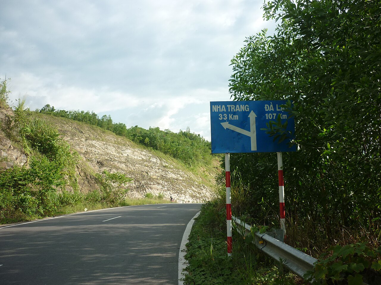
Within the province, motorbike hire is the most flexible option for reaching beaches and inland areas. The road from Nha Trang to Buon Ma Thuot via the Khanh Le Pass is used by travellers heading to the Central Highlands.
Key places and things to see
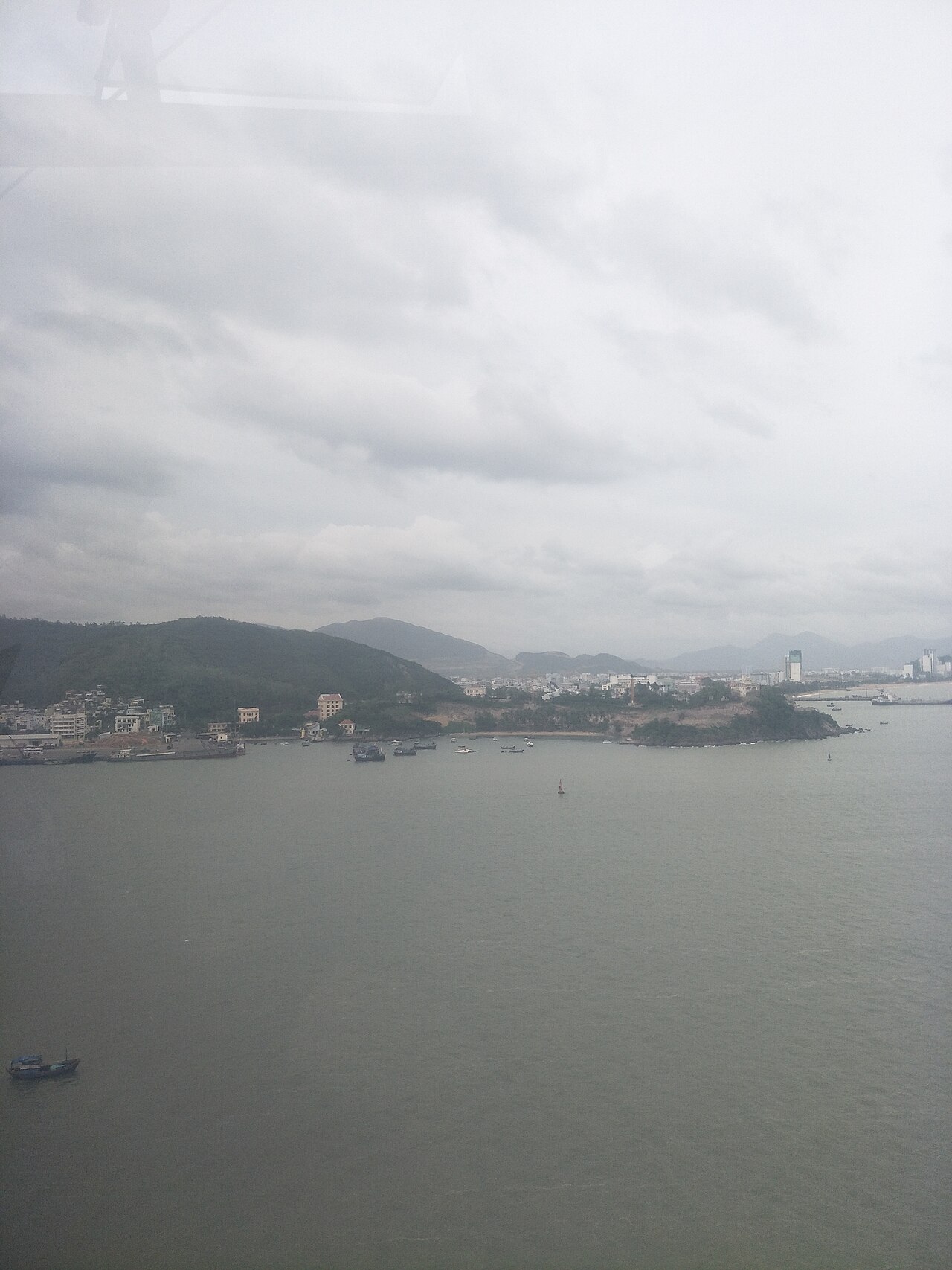
Nha Trang city is the commercial and tourism centre of the province. Its bay, lined with a long seafront promenade, is framed by a chain of islands accessible by boat. The city has an established infrastructure of hotels, restaurants and diving operators. See the dedicated Nha Trang page for detail.
Cam Ranh and the resort corridor south of Nha Trang has seen significant hotel construction. This area is oriented largely towards beach resort stays rather than independent exploration.
Van Phong Bay, to the north of Nha Trang, is a large and partly sheltered bay with lower tourist density. It contains several islands and is used as an aquaculture zone.
Phan Rang–Tháp Chàm is the main urban centre of the former Ninh Thuan area. The Po Klong Garai Cham towers nearby date to the 13th–14th centuries and are among the best-preserved Cham structures in Vietnam. The surrounding countryside produces grapes, dragon fruit and sheep—an unusual combination for Vietnam.
Ninh Chu beach near Phan Rang is a long, broad beach that sees far fewer visitors than Nha Trang.
Food and drink
Seafood is central to the diet across the province. Nha Trang is particularly associated with bún cá (fish noodle soup), typically made with mackerel or other local fish and dressed with fresh herbs and shrimp paste. Nem nướng Ninh Hòa—grilled pork rolls from the Ninh Hoa area—are eaten throughout the province and widely known across Vietnam.
The former Ninh Thuan area has a distinct food culture partly shaped by its Cham and Raglai communities. Grape products, including fresh table grapes and wine of varying quality, are local commercial specialities. Bánh căn, small savoury rice-flour cakes cooked in clay moulds and served with a dipping sauce, are found across the south-central coast.
For a wider context on the cooking traditions of this part of Vietnam, see Central Vietnamese cuisine.
Practical notes and common misunderstandings
Administrative confusion: Many maps, booking platforms and transport schedules still show the former provinces of Khanh Hoa and Ninh Thuan as separate entities. From 1 July 2025 they form a single province. Districts no longer exist as administrative units, though place names associated with former districts remain in common use locally.
Seasonal boat access: Boat trips to islands in Nha Trang Bay are weather-dependent. During October and November, rough seas regularly suspend services. Visitors who arrive expecting island day trips in this period may find them unavailable.
The airport is not close to the city: Cam Ranh airport is a significant distance from Nha Trang. Transfer time and cost should be factored into plans. See Cam Ranh International Airport for detail.
The south of the province is distinct: Travellers who visit only Nha Trang will see a different landscape and culture from the Phan Rang area. The two ends of the province differ in climate, food, scenery and tourist infrastructure.
For general preparation, see Vietnam e-visa, SIM cards and eSIMs, Money, ATMs and cards and Safety and common scams.
Klima nach Monat
Langzeitdurchschnitte, keine Vorhersage. Referenzzeitraum: 2015–2024. Quelle: ERA5 reanalysis (Copernicus) via the Open-Meteo archive API.
Show the numbers
| Monat | Höchsttemperatur °C | Tief °C | Regen mm | Regentage | Humidity % |
|---|---|---|---|---|---|
| January | 26.9 | 19.6 | 63 | 10 | 83 |
| February | 28.3 | 19.5 | 41 | 10 | 80 |
| March | 31.5 | 20.9 | 51 | 10 | 77 |
| April | 32.9 | 22.8 | 67 | 13 | 78 |
| May | 33.4 | 24.1 | 127 | 22 | 81 |
| June | 33.8 | 24.0 | 99 | 18 | 78 |
| July | 33.3 | 24.0 | 121 | 21 | 77 |
| August | 34.0 | 24.0 | 123 | 19 | 76 |
| September | 31.9 | 23.4 | 216 | 25 | 84 |
| October | 29.5 | 22.6 | 292 | 27 | 88 |
| November | 28.0 | 22.0 | 287 | 23 | 88 |
| December | 26.6 | 20.8 | 187 | 18 | 86 |
Places within Khanh Hoa
Where it is
Also known as / see also
In der Nähe
Aufgegangen
Referenziert von
Quellen
- ERA5 climate normals — Copernicus / Open-Meteo (CC BY 4.0) abgerufen 30 August 2026
Supports: monthly temperature and rainfall normals, and elevation - Khanh Hoa (Q33369) — Wikidata (CC0 1.0) abgerufen 30 August 2026
Supports: coordinates, area, population - Khanh Hoa — Wikipedia (CC BY-SA 4.0) abgerufen 30 August 2026
Supports: background
Current Zuletzt geprüft: 31 August 2026. Rules, fares and prices change — check the official source before acting on anything here. Report a mistake.
Picture credits (6)
Александр Попрыгин, CC BY 3.0, Wikimedia Commons · Александр Попрыгин, CC BY 3.0, Wikimedia Commons · haidang54, CC BY-SA 3.0, Wikimedia Commons · Chùa Từ Vân, Bùi Thụy Đào Nguyên, CC BY-SA 4.0, Wikimedia Commons · haidang54, CC BY-SA 3.0, Wikimedia Commons · Coastline of Nha Trang in December 2017, picture1, Huangdan2060, CC0, Wikimedia Commons