National Assembly Resolution 202/2025/QH15 on the rearrangement of provincial-level administrative units
What Ho Chi Minh City is
Ho Chi Minh City — still widely called Saigon, a name that remains in everyday use for the historic urban core — sits at the southern end of Vietnam on the banks of the Saigon River. It is the country's economic engine, home to its busiest port, its largest stock exchange and the headquarters of most major domestic and multinational businesses operating in Vietnam.
As of 1 July 2025, the administrative municipality of Ho Chi Minh City was expanded significantly, merging the former provinces of Binh Duong and Ba Ria-Vung Tau into a single enlarged unit. The places themselves have not changed — Vung Tau beach is where it always was, and the industrial zones of Binh Duong remain as they were — but they now fall within the same municipal administration. Vietnam abolished the district tier at the same time, meaning the city now operates on a two-tier province-and-commune system.
The city sits within Vietnam's Southeast region and serves as the natural gateway to the Mekong Delta to the south and the Central Highlands to the north.
Climate and when to go
Ho Chi Minh City has a classic tropical monsoon pattern divided into two seasons rather than four. From roughly December through March, the weather is at its driest and the daytime heat reaches its annual peak — temperatures climb highest in March and April, before the rains arrive to break the heat. This dry period is generally the most comfortable for outdoor activity, though midday temperatures are still significant.
The wet season runs from approximately May through November. Rainfall builds steadily from April, peaks in September and October when monthly totals are at their highest, then tapers off through November into December. Rain typically arrives as heavy afternoon or evening downpours rather than all-day drizzle, so mornings are often clear. July, August and September see the most sustained rainfall.
There is no cold season. Night-time minimums remain warm throughout the year, never approaching the cool temperatures found in the north. Flooding in low-lying streets during heavy downpours is common and is worth factoring into plans. For a fuller comparison across Vietnam's regions, see When to go: weather by region.
Areas and orientation
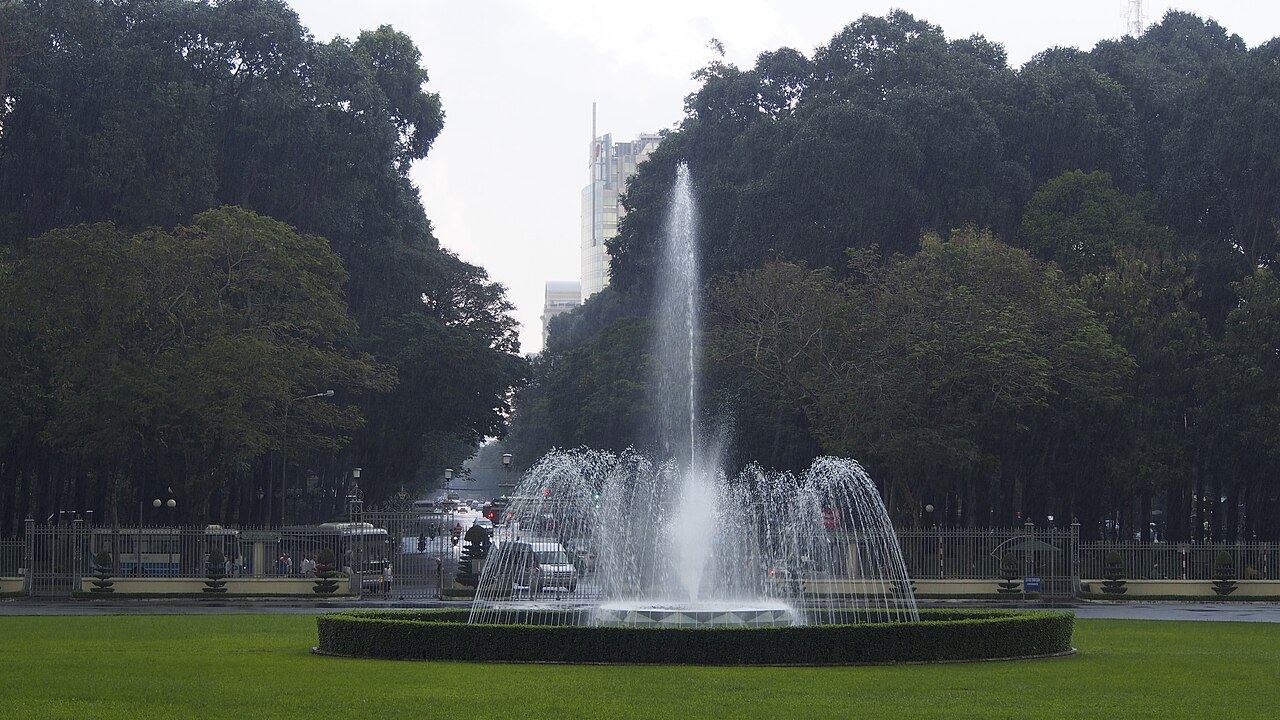
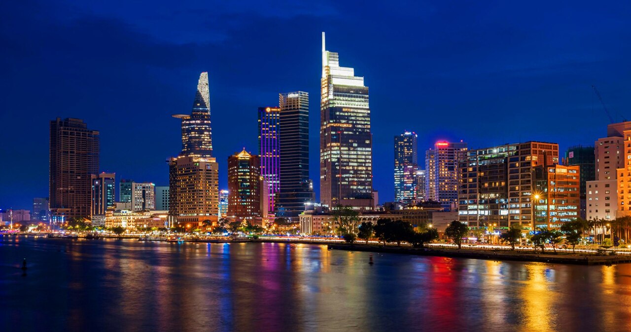
The historic urban core — the area most visitors think of as Saigon — is concentrated around what was formerly District 1, now part of the central commune structure. This is where the Notre-Dame Cathedral Basilica of Saigon, the Central Post Office, the Reunification Palace and the War Remnants Museum are found, alongside the main hotel and restaurant strips. A dedicated page covers this in more detail: Ho Chi Minh City centre.
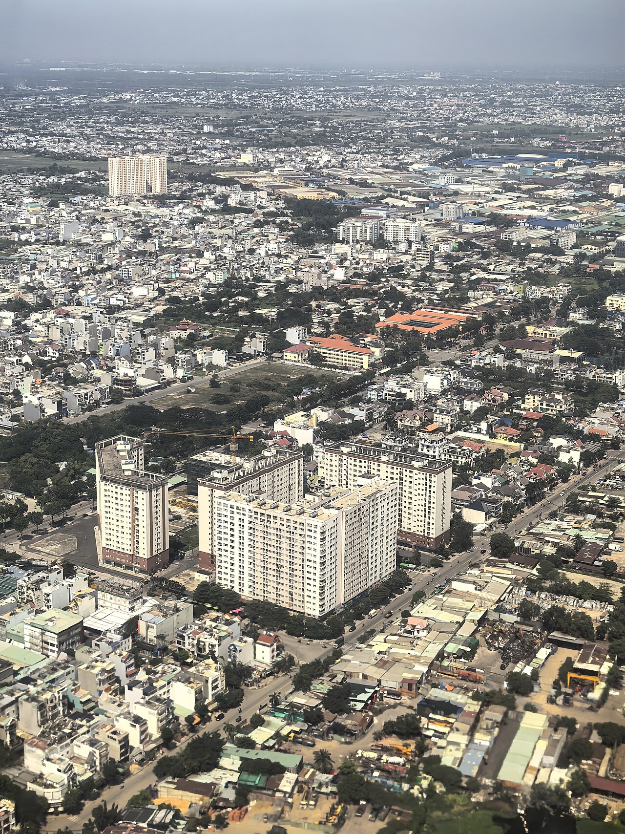
Beyond the centre, the city spreads in all directions. The former Binh Thanh area across the river contains older residential neighbourhoods. Phu My Hung, to the south, is a planned urban zone popular with expatriates and Korean and Japanese communities. The expanded municipality now formally encompasses coastal areas around Vung Tau and the industrial and residential zones of the former Binh Duong province to the north.
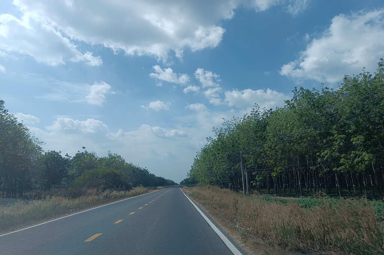
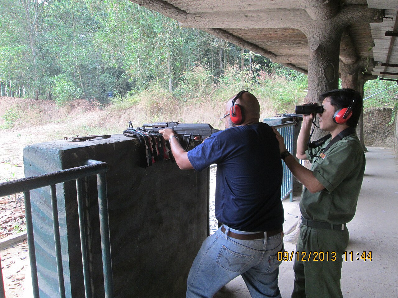
The Cu Chi Tunnels, a major historical site from the American War, lie to the northwest. The mangrove reserve at Can Gio is to the southeast, accessible by ferry or road.
Getting there and getting around
Tan Son Nhat International Airport is located within the urban area and is Vietnam's busiest airport by passenger volume. It handles both international and domestic routes. A second major airport, Long Thanh, is under construction in the neighbouring province of Dong Nai and is intended to relieve capacity pressure, though its opening date has been subject to revision.
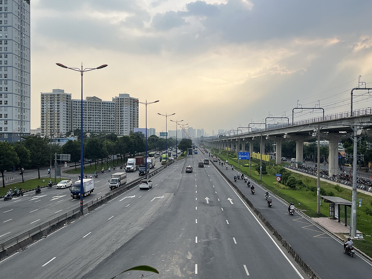
Within the city, the Ho Chi Minh City metro opened its first operational line in late 2024, running from Ben Thanh Market northeast to Suoi Tien. Further lines are planned. The metro is air-conditioned and represents a significant addition to urban transport options, though the network remains limited in its early phase.
Motorbikes dominate the streets. Ride-hailing apps — primarily Grab and a number of Vietnamese competitors — operate widely and are the default method for most short journeys. Taxis from reputable metered companies also operate. Visitors hiring their own motorbike should be aware of traffic density and local road conventions; see Hiring and riding a motorbike. Sleeper buses connect the city to destinations along the coast and into the Mekong Delta.
Food and street culture
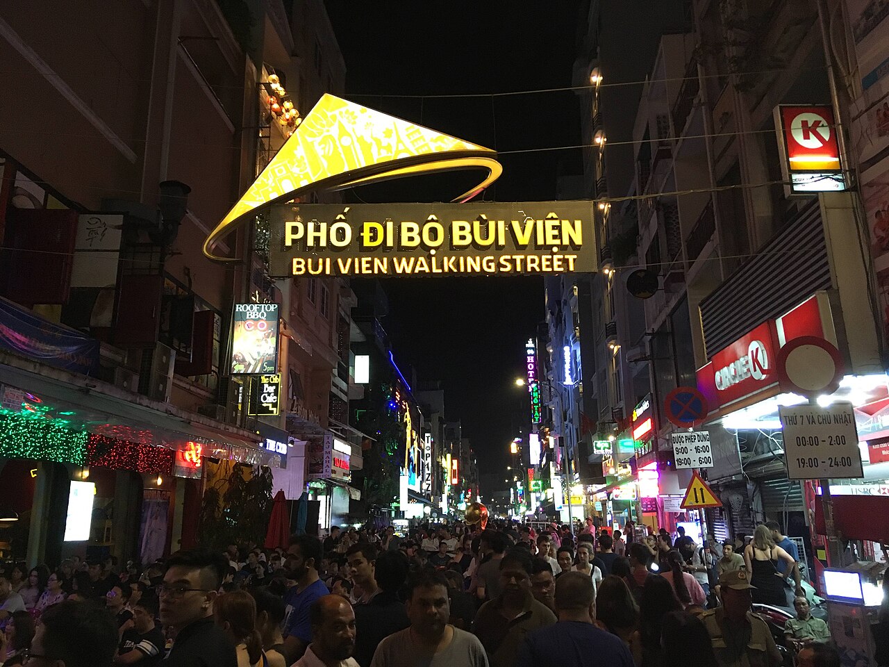
Ho Chi Minh City has a distinct southern Vietnamese culinary identity, characterised by sweeter flavours, abundant fresh herbs and a strong French colonial legacy in its bread and café culture. Bánh mì — the Vietnamese baguette sandwich — is sold from carts and small shopfronts throughout the city and is considered by many food historians to have reached its most developed form here. Cà phê sữa đá, Vietnamese iced coffee made with robusta beans and sweetened condensed milk, originated in the south and is served everywhere from pavement plastic-stool cafés to air-conditioned chains.
Other dishes closely associated with the city include hủ tiếu (a clear pork-and-seafood noodle soup with Chinese-Teochew roots), bún bò Huế (brought by migrants from the centre), and a wide range of grilled meats served over broken rice — cơm tấm — which is considered a signature dish of Saigon. The city's Ben Thanh Market and its surrounding streets remain a reference point for street food, though many locals eat at neighbourhood spots far from tourist zones.
What first-time visitors get wrong
Underestimating distances. The expanded municipality now covers an area comparable to a small European country. Even within the historic urban core, walking distances between sites are longer than maps suggest, and heat and traffic make casual strolling more demanding than expected.
Assuming the traffic is manageable without preparation. The density and flow of motorbikes follow their own logic. Crossing the road requires a steady, predictable pace — stopping mid-crossing is more dangerous than continuing. This takes adjustment.
Conflating Saigon and Ho Chi Minh City. Locals, especially older residents, use Saigon to mean the historic urban core, not the full municipality. Using it interchangeably with the city's official name in a civic or administrative context can cause confusion.
Overlooking practical admin before arrival. Vietnam requires a valid visa or e-visa for most nationalities. See Vietnam e-visa for current arrangements. Connectivity and cash access are generally good, but preparation helps: SIM cards and eSIMs and Money, ATMs and cards cover the specifics. Common scams targeting new arrivals are documented at Safety and common scams.
Day trips and nearby destinations
Several significant destinations now fall within the expanded municipal boundaries or sit immediately adjacent. The Cu Chi Tunnels, about 70 km northwest of the city centre, are an extensive network of underground passages used by Viet Cong fighters during the American War, now partially open to visitors. Can Gio to the southeast is a UNESCO-recognised biosphere reserve of mangrove forest, accessible by road across the Rung Sac Bridge or by ferry.
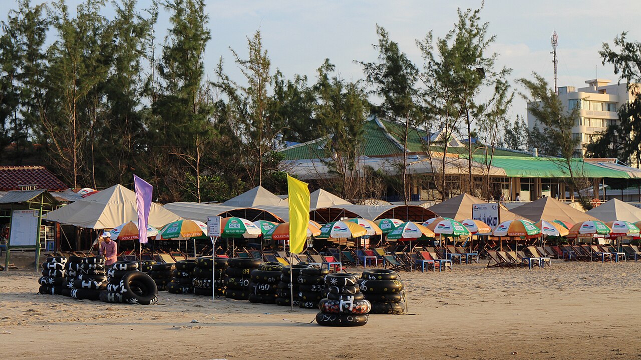
Vung Tau, the coastal city now within the municipality following the merger of the former Ba Ria-Vung Tau province, has historically served as the main beach escape for Ho Chi Minh City residents. Ben Tre, just across the river systems to the south, is the first province of the Mekong Delta proper and is reachable in a few hours by road or boat.
월별 기후
장기 평균값이며 예보가 아닙니다. 기준 기간: 2015–2024. 출처: ERA5 reanalysis (Copernicus) via the Open-Meteo archive API.
Show the numbers
| 월 | 최고 기온 °C | 최저 기온(°C) | 강수량(mm) | 강수일수 | Humidity % |
|---|---|---|---|---|---|
| January | 31.8 | 23.0 | 29 | 4 | 70 |
| February | 33.2 | 23.3 | 13 | 2 | 65 |
| March | 34.5 | 24.7 | 16 | 4 | 66 |
| April | 34.2 | 25.9 | 77 | 11 | 72 |
| May | 32.9 | 26.2 | 219 | 24 | 80 |
| June | 31.5 | 25.4 | 253 | 26 | 84 |
| July | 30.7 | 25.0 | 295 | 29 | 86 |
| August | 30.9 | 24.9 | 294 | 29 | 85 |
| September | 30.5 | 24.7 | 346 | 29 | 86 |
| October | 30.3 | 24.4 | 307 | 27 | 86 |
| November | 30.7 | 24.1 | 147 | 19 | 83 |
| December | 30.7 | 23.2 | 63 | 10 | 77 |
Places within Ho Chi Minh City
 Destination
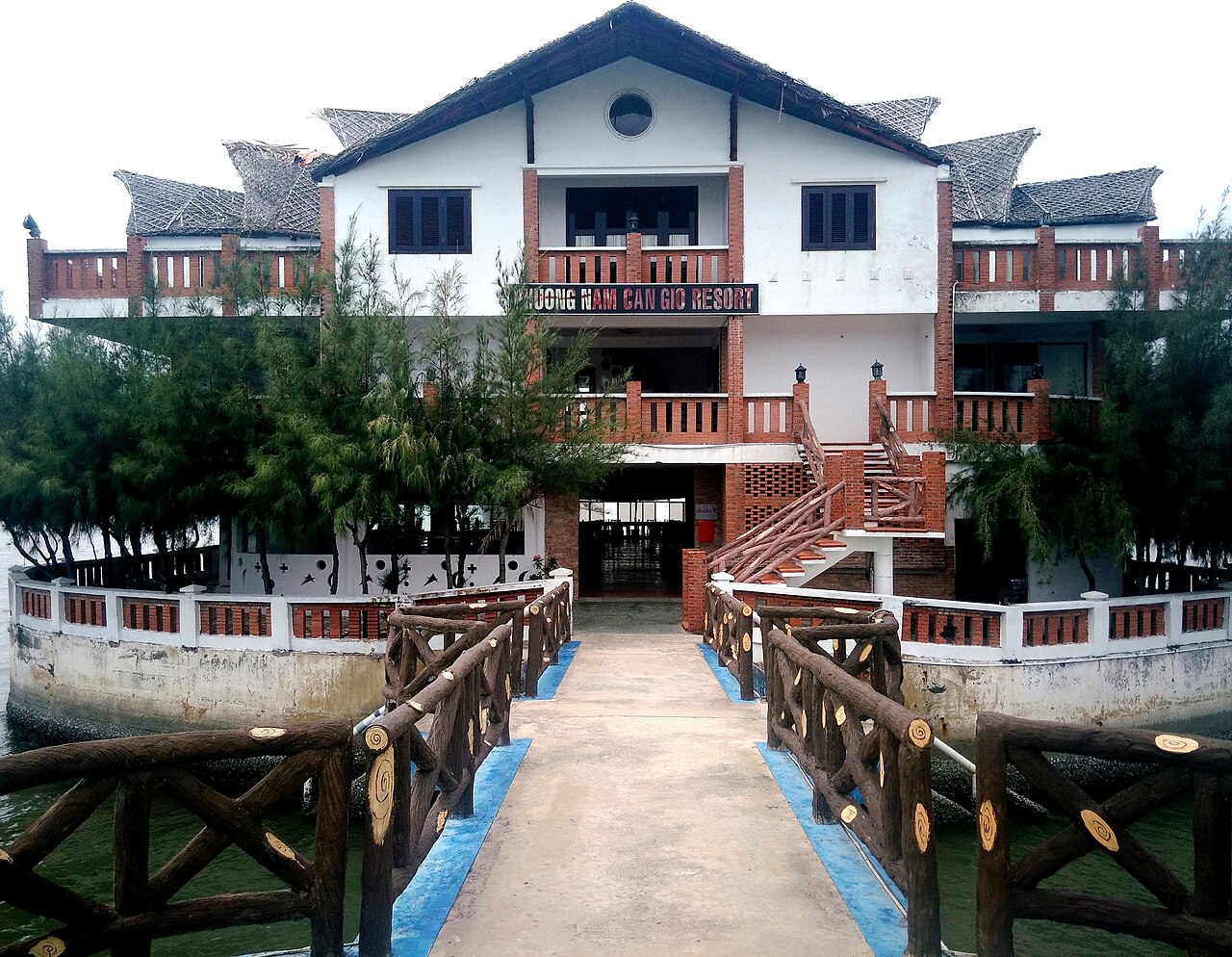
Can Gio
UNESCO mangrove biosphere reserve on the coast south of Ho Chi Minh City, rebuilt after…
 Island
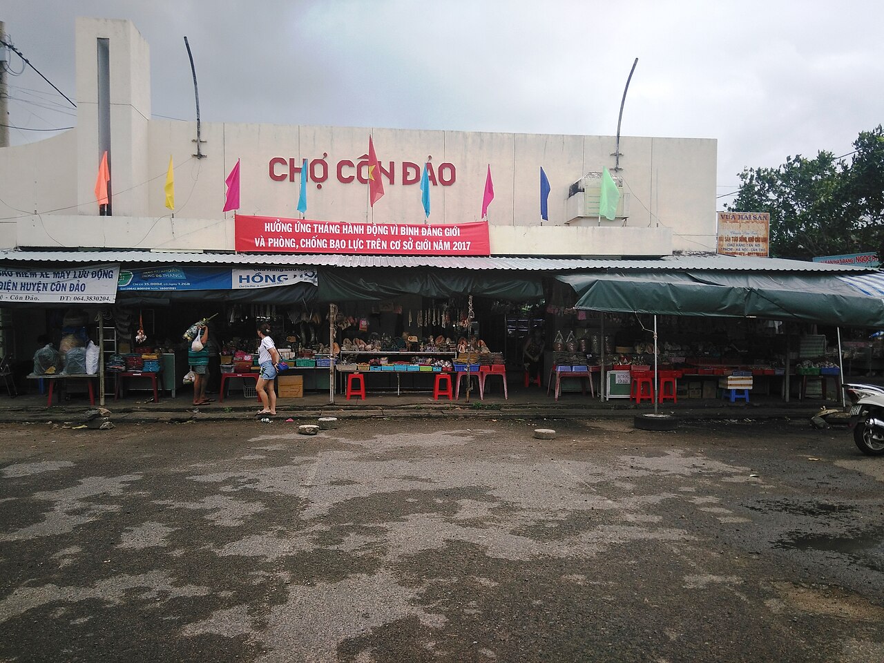
Con Dao Islands
Remote southern archipelago known for its French-era prison history, sea-turtle nesting…
 Destination
Cu Chi Tunnels
Wartime tunnel network northwest of Ho Chi Minh City, open to visitors as a historical site…
 Destination
Ho Chi Minh City centre
The commercial and historical heart of Ho Chi Minh City, with colonial landmarks, war…
 Destination
Vung Tau
Vung Tau is southeastern Vietnam's main beach city, known for its twin beaches, hilltop…
 City
Thủ Đức
Former city-level district of Ho Chi Minh City, absorbed into the province in the 2025…
Where it is
Also known as / see also
주변
통합됨
참조 페이지
출처 목록
- ERA5 climate normals — Copernicus / Open-Meteo (CC BY 4.0) 접근됨 30 August 2026
Supports: monthly temperature and rainfall normals, and elevation - Ho Chi Minh City (Q1854) — Wikidata (CC0 1.0) 접근됨 30 August 2026
Supports: coordinates, area, population - Ho Chi Minh City — Wikipedia (CC BY-SA 4.0) 접근됨 30 August 2026
Supports: background
Current 마지막 확인: 31 August 2026. Rules, fares and prices change — check the official source before acting on anything here. Report a mistake.
Picture credits (12)
City International Hospital Vietnam, Keronii, CC0, Wikimedia Commons · Independence Palace or Reunification Palace (12110625233), Clay Gilliland, CC BY-SA 2.0, Wikimedia Commons · Bui Vien Walking Street 1, Christophe95, CC BY-SA 4.0, Wikimedia Commons · Bảo tàng Mỹ thuật Tp (kiến trúc tổng thể) (2), Phương Huy, CC BY-SA 4.0, Wikimedia Commons · A Peaceful road in a rural of Ho Chi Minh City, ペルナ, CC0, Wikimedia Commons · A 2025 bird's-eye view of Ho Chi Minh City, HuangWending18072009, CC0, Wikimedia Commons · Cần Giờ 2018 (KND Phương Nam, nhà chính) (3), Phương Huy, CC BY-SA 4.0, Wikimedia Commons · Chợ Côn Đảo (2), Phương Huy ( thảo luận ), Public domain, Wikimedia Commons · Tourist Rudolph.A.Furtado at the 'Cu Chi Tunnels' firing range in Vietnam., Rudolph.A.Furtado, CC0, Wikimedia Commons · Ho Chi Minh City Skyline at Night, Tran Van Ngoc, CC0, Wikimedia Commons · trungydang, CC BY 3.0, Wikimedia Commons · 11-01-2025 Thu Duc Station 4, Xuanphuocle, CC0, Wikimedia Commons