The place itself has not changed, and this page continues to cover it.
National Assembly Resolution 202/2025/QH15 on the rearrangement of provincial-level administrative units
Hải Dương province occupied a flat, densely farmed stretch of the Red River Delta, historically significant as a trade and administrative centre between the capital and the coast. On 1 July 2025, under Vietnam's nationwide consolidation of provincial-level units, Hai Duong was dissolved and absorbed into the newly enlarged Hai Phong province-level city. The places, towns and landmarks within its former boundaries remain; only the administrative wrapper has changed.
Administrative status
Hai Duong province was formally dissolved on 1 July 2025 by National Assembly resolution, which reduced Vietnam's 63 provinces and centrally-governed cities to 34 units. Its territory merged with the former Hai Phong city to form a significantly enlarged Hai Phong. The former provincial capital, Hai Duong city, now functions as a major urban centre within that broader jurisdiction. Vietnam also abolished the district tier at the same time, leaving a two-tier system of province and commune or ward.
Any administrative references — government offices, business registrations, postal codes — that named Hai Duong province should be understood as now falling under Hai Phong. Travellers and business visitors should verify current jurisdiction with local authorities or official Vietnamese government sources.
What the area is known for
Within its former boundaries, the area is most closely associated with a handful of distinct products and sites. Bánh đậu xanh — small, dense cakes made from mung bean paste and sugar — are so identified with the former provincial capital that they are routinely sold as gifts throughout northern Vietnam. The flat agricultural land also produces significant quantities of lychee, particularly around the Thanh Ha area, which has a long-standing reputation for fruit quality.
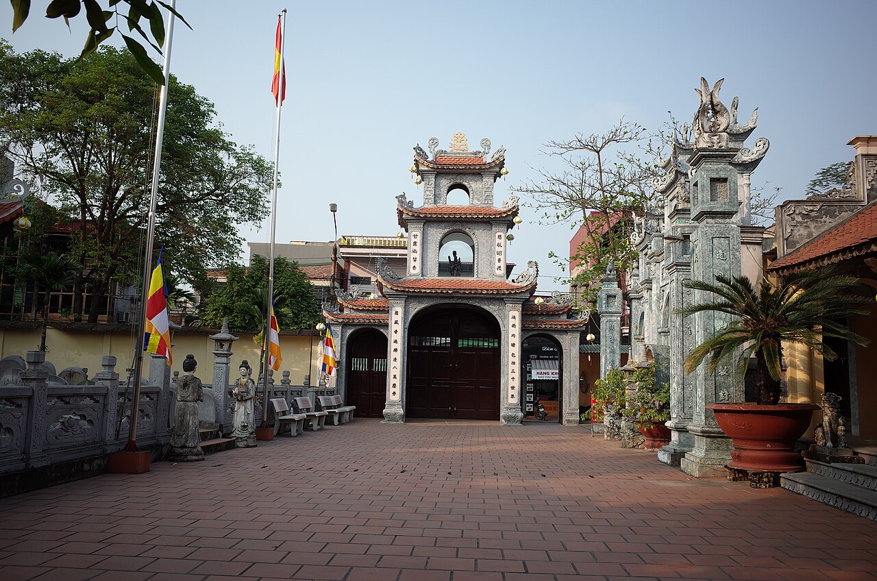
Historically, the area contains Côn Sơn and Kiếp Bạc, two temple complexes of considerable age and religious significance. Côn Sơn is associated with the 15th-century poet and statesman Nguyễn Trãi; Kiếp Bạc honours the 13th-century general Trần Hưng Đạo, credited with repelling Mongol invasions. Both attract substantial numbers of Vietnamese pilgrims, especially during festival periods in early spring by the lunar calendar.
Getting there and away
The former provincial capital, Hai Duong city, sits on the main road and rail corridor between Hanoi and Hai Phong, which has historically made passing through it straightforward. Road distance from Hanoi is roughly 57 kilometres; from Hai Phong roughly 45 kilometres. Buses and coaches on the Hanoi–Hai Phong route stop at or near the city. The rail line also passes through, though not all express services make a stop.
Now that the territory is part of Hai Phong, administrative and transport planning is consolidated under that city. Local bus networks connect the urban centre with rural communes, though coverage and frequency vary. Private car hire and motorbike taxis remain practical options for reaching the Côn Sơn and Kiếp Bạc sites, which are not immediately adjacent to the main transport corridor.
When to go
The Red River Delta has a humid subtropical climate with four loosely defined seasons. Winters, roughly November to March, are cool and sometimes damp, with occasional mist. Temperatures can fall noticeably by the standards of a tropical country, though hard frost is rare at this latitude. Spring, from around February, brings warm but often overcast and drizzly weather.
Summer, May to September, is hot and humid with the bulk of annual rainfall concentrated in these months; flooding of low-lying farmland is a periodic risk. Autumn, October and November, is generally considered the most comfortable period: drier, cooler and clearer than summer.
The major festival periods at Côn Sơn and Kiếp Bạc fall in the first months of the lunar new year and draw very large crowds. Visitors interested in religious atmosphere rather than crowds may prefer to visit outside those windows.
Sites and points of interest
Côn Sơn is a forested hill site containing a pagoda, a temple to Nguyễn Trãi, stone steps, and old pine trees that feature in Vietnamese literary history. The site is used for quiet contemplation as well as organised pilgrimage. Kiếp Bạc temple, on a low ridge near the Lục Đầu river confluence, is one of the more important sites of the Trần dynasty cult of Trần Hưng Đạo, and its festival in the eighth lunar month draws pilgrims from across the north.
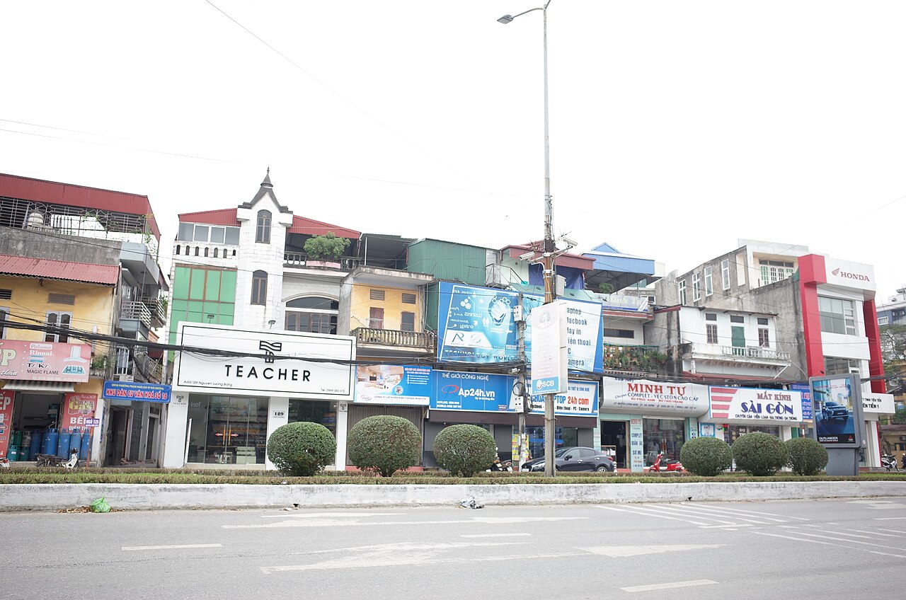
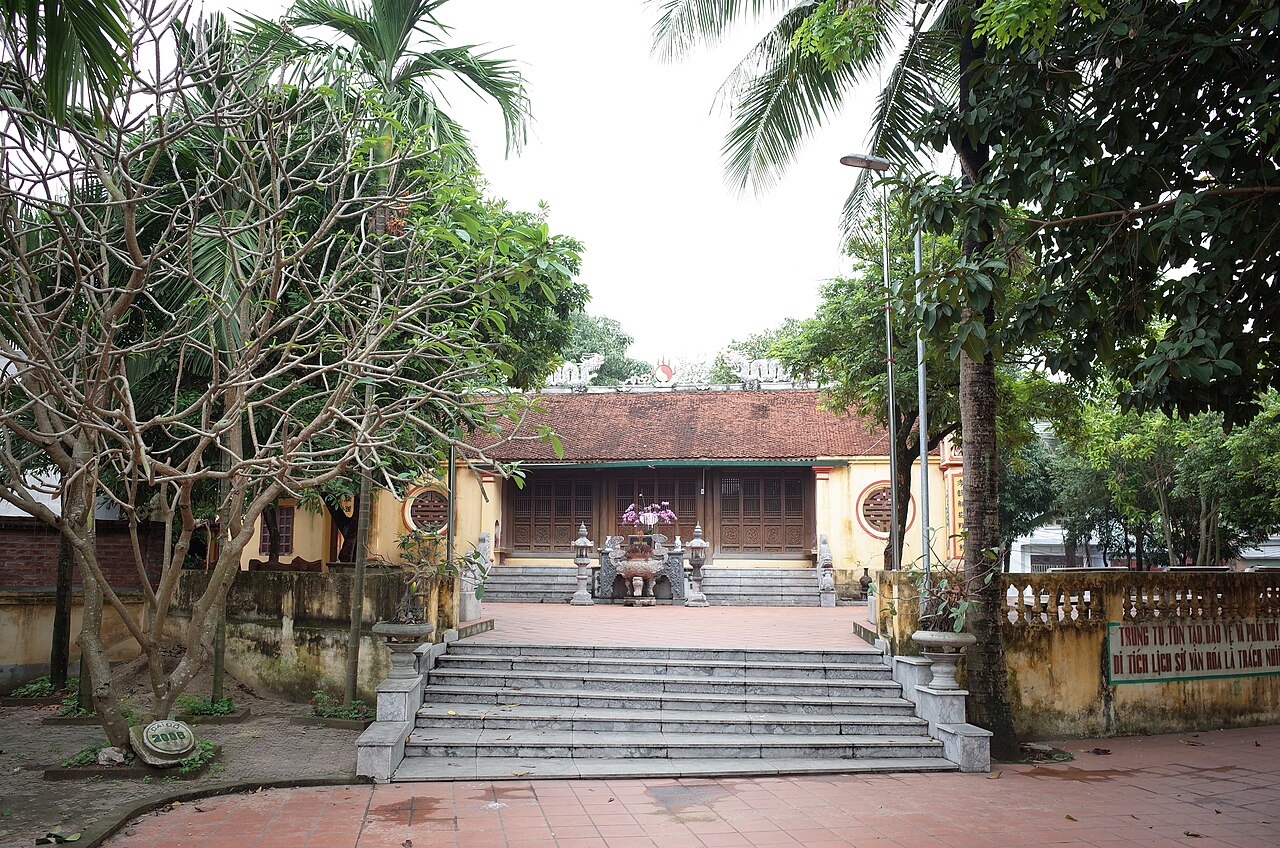
The former provincial capital itself has a modest urban centre with a market, some French-era remnants in the street pattern, and the mung bean cake trade concentrated around its central streets — a practical stop for anyone travelling the Hanoi–Hai Phong corridor. The surrounding countryside is flat paddy land punctuated by dykes and small villages; it is representative of the Red River Delta landscape without any single dramatic feature.
Common misunderstandings
The most immediate point of confusion is the administrative change itself. Hai Duong province no longer exists. Searches, maps and older guidebooks will still show it as a separate unit, but since 1 July 2025 it is part of Hai Phong. This affects addresses, official paperwork and government contacts, though the physical places have not moved or been renamed.
Visitors sometimes conflate Hai Duong city with Hai Phong city. They are distinct urban places roughly 45 kilometres apart. The former is smaller and more industrially oriented, with little of the port character or coastal access of Hai Phong.
Côn Sơn and Kiếp Bạc are sometimes grouped in itineraries with Ha Long Bay as a single northern excursion. The two temple sites are inland and have a very different character — forested, quiet outside festival season, and primarily of interest to those with curiosity about Vietnamese religious and literary history rather than scenery.
월별 기후
장기 평균값이며 예보가 아닙니다. 기준 기간: 2015–2024. 출처: ERA5 reanalysis (Copernicus) via the Open-Meteo archive API.
Show the numbers
| 월 | 최고 기온 °C | 최저 기온(°C) | 강수량(mm) | 강수일수 | Humidity % |
|---|---|---|---|---|---|
| January | 21.1 | 14.1 | 59 | 10 | 77 |
| February | 22.4 | 15.3 | 44 | 9 | 78 |
| March | 25.6 | 18.8 | 61 | 12 | 83 |
| April | 28.9 | 21.6 | 99 | 12 | 82 |
| May | 31.6 | 24.9 | 205 | 18 | 82 |
| June | 33.6 | 26.9 | 233 | 18 | 78 |
| July | 32.9 | 26.5 | 304 | 21 | 81 |
| August | 31.7 | 25.8 | 414 | 26 | 86 |
| September | 30.8 | 24.8 | 335 | 22 | 85 |
| October | 28.4 | 21.8 | 164 | 14 | 78 |
| November | 26.3 | 19.2 | 57 | 9 | 77 |
| December | 21.6 | 14.5 | 32 | 7 | 71 |
Places within Hai Duong
현재 편입된 곳:
참조 페이지
출처 목록
- ERA5 climate normals — Copernicus / Open-Meteo (CC BY 4.0) 접근됨 30 August 2026
Supports: monthly temperature and rainfall normals, and elevation - Hai Duong (Q36729) — Wikidata (CC0 1.0) 접근됨 30 August 2026
Supports: coordinates, area, population - Hai Duong — Wikipedia (CC BY-SA 4.0) 접근됨 30 August 2026
Supports: background
Current 마지막 확인: 29 August 2026. Rules, fares and prices change — check the official source before acting on anything here. Report a mistake.
Picture credits (5)
Dãy cửa hàng trên đường Nguyễn Lương Bằng, gần ngã tư giao với đường Ngô Quyền, thành phố Hải Dương, tỉnh Hải Dương, Nguoivietbao, CC BY-SA 4.0, Wikimedia Commons · Khu đô thị phía Tây thành phố Hải Dương, Sschd, CC BY-SA 4.0, Wikimedia Commons · Cổng tam quan cụm di tích đền - chùa Bảo Sài, phường Phạm Ngũ Lão, thành phố Hải Dương, tỉnh Hải Dương, Nguoivietbao, CC BY-SA 4.0, Wikimedia Commons · Nhà trưng bày bảo tàng Hải Dương, thành phố Hải Dương, tỉnh Hải Dương, Nguoivietbao, CC BY-SA 4.0, Wikimedia Commons · Nghè Nhội nhìn từ xa, đường Trường Chinh, thành phố Hải Dương, tỉnh Hải Dương, Nguoivietbao, CC BY-SA 4.0, Wikimedia Commons