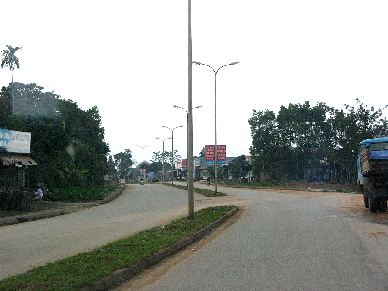
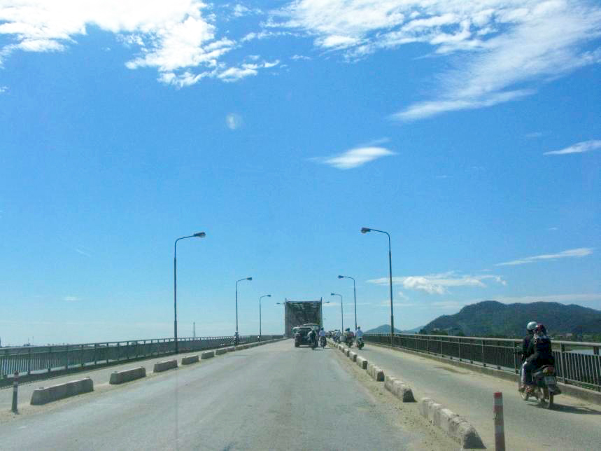
Overview
Hà Tĩnh province occupies a long, narrow strip of the North Central Coast, bordered by Nghệ An to the north, Quảng Bình — home of Phong Nha-Kẻ Bàng — to the south, Laos to the west, and roughly 137 km of South China Sea coastline to the east. The provincial centre, Hà Tĩnh city, sits close to the coast at low elevation. The terrain rises sharply inland through forested hills to the Annamite Range along the Lao border, reaching over 2,000 m in places. This compression of coast, lowland plain, and mountain interior within a relatively compact area defines both the landscape and the local economy.
Hà Tĩnh remains a predominantly agricultural province, with rice cultivation on the coastal plains, aquaculture along the shore, and some forestry and mining activity inland. The Vũng Áng industrial zone, developed from the 2000s onwards, brought large-scale steel production to the province and significantly altered its economic character, though it also became the site of a major environmental incident in 2016 when Formosa Ha Tinh Steel discharged pollutants that caused a large fish kill along the central coast.
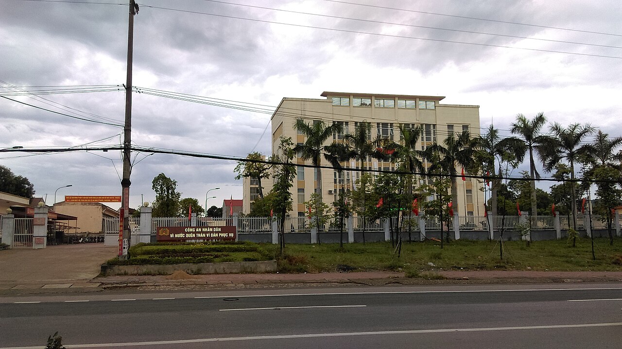
Climate and when to go
Hà Tĩnh's climate follows the pattern typical of the north-central coast but with some of the most extreme rainfall totals in Vietnam concentrated in the autumn months. Temperatures are mild and relatively dry in the early months of the year, then warm steadily through spring. The hot season, driven partly by the Lào (Foehn) wind blowing down from the Annamite Range, makes June and July uncomfortably hot and dry, with daytime maxima regularly exceeding 34°C.
The rainfall pattern then reverses sharply. September, October and November bring intense precipitation, with October alone averaging over 640 mm — among the highest monthly figures anywhere on the mainland. This period coincides with the peak of the typhoon season, and Hà Tĩnh's exposure to the South China Sea means it takes direct hits more often than provinces further north or south. Flooding in low-lying coastal areas and along river valleys is a regular annual event. The practical window for comfortable travel is therefore February through April: temperatures are rising but not yet extreme, rainfall is at its annual low, and the coast is largely calm. See When to go: weather by region for a broader comparison.
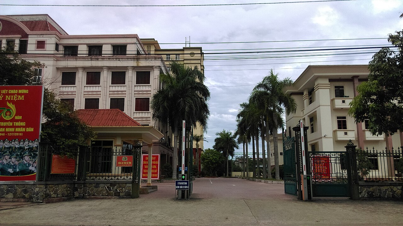
Natural features and things to see
Vũ Quang National Park covers around 57,000 hectares of evergreen forest in the western highlands and is one of the more significant wildlife conservation areas in Vietnam. It gained international attention in the 1990s when surveys discovered the saola (Pseudoryx nghetinhensis), a large bovid previously unknown to science, within its boundaries. The park also harbours the giant muntjac and a range of endemic bird species. Access is limited and infrastructure for independent visitors is minimal; most serious wildlife or nature visitors arrange access through the park management authority in advance.
Xuân Thành and Thiên Cầm beaches are the most visited coastal points. Thiên Cầm, south of Hà Tĩnh city, has a sheltered bay and is popular with domestic visitors. The coastline is generally underdeveloped compared with the resort beaches further south, which gives it a quieter character outside Vietnamese holiday periods.
Hồng Lĩnh mountain range rises to around 678 m near the northern edge of the province and contains several pagodas, including Chùa Hương Tích, a significant pilgrimage site associated with the legend of the Bodhisattva Quan Âm. The site draws large crowds during the spring festival season, roughly February to April by the lunar calendar.
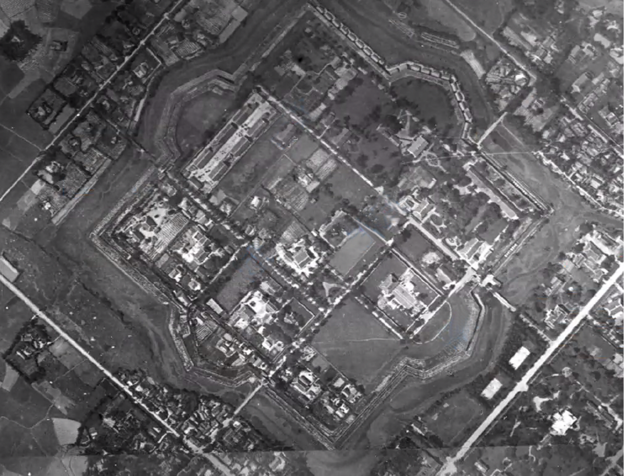
History and cultural context
Hà Tĩnh and the adjacent province of Nghệ An to the north are often discussed together as a cultural unit — the region is sometimes referred to as Nghệ Tĩnh — and the two provinces share a distinct dialect, a tradition of ví dặm folk singing recognised by UNESCO in 2014, and a reputation for producing a disproportionate number of Vietnam's prominent political and intellectual figures. Nguyễn Du (1765–1820), author of Truyện Kiều (The Tale of Kiều), Vietnam's most celebrated work of classical literature, was born in what is now Hà Tĩnh; his ancestral home in Tiên Điền village is a museum and pilgrimage point for Vietnamese literature enthusiasts.
The province was also a centre of anti-colonial activity in the early twentieth century. The Nghệ Tĩnh Soviets of 1930–31, a short-lived rural uprising against French colonial rule, drew substantial participation from Hà Tĩnh. This historical identity — resistant, austere, politically engaged — is a source of considerable local pride and shapes how the province presents itself.
Getting there and around
Hà Tĩnh city lies on the main north–south rail and road corridor. The North–South Railway passes through the province with a station in Hà Tĩnh city, served by both express and stopping trains running between Hà Nội and Hồ Chí Minh City. Journey times vary considerably depending on the train category. National Highway 1 also runs through the province; open-tour buses and sleeper buses on the Hà Nội–Đà Nẵng and longer routes pass through or stop here.
Hà Tĩnh does not have a commercial airport. The nearest airports with regular domestic services are Vinh (in Nghệ An, roughly 50 km north of the provincial boundary) and Đồng Hới in Quảng Bình to the south. Travel within the province relies on motorbike, local bus, or hired vehicles, as the rail line only serves the coastal corridor and the road network into the interior becomes progressively rougher towards the Lao border.
For practical matters on arrival, see SIM cards and eSIMs, Money, ATMs and cards, and Vietnam e-visa.
Where to stay
Accommodation is concentrated in Hà Tĩnh city, where a standard range of Vietnamese city hotels operates across different price bands. Options are functional rather than resort-oriented. The coastal beach areas, particularly Thiên Cầm, have guesthouses and small hotels that cater primarily to domestic visitors during summer weekends and public holidays; these can be busy and prices vary by season. Outside city and beach areas, accommodation options thin out considerably. There is no established tourist lodge infrastructure inside Vũ Quang National Park for independent travellers. Visitors intending to spend time in the western interior should confirm accommodation arrangements before travelling.
Common misunderstandings
The most consequential misreading of Hà Tĩnh's calendar is treating it like the beaches further south. The autumn typhoon and flood season here is more severe and more reliable than in many parts of Vietnam; travel in October and November carries genuine disruption risk, and road conditions in the west of the province can become impassable after heavy rain.
The Vũ Quang saola is sometimes presented in travel content as a species that can be observed on a visit to the park. In practice, the saola is one of the rarest large mammals on earth and has not been photographed in the wild since 2013; the chance of a sighting on any visit is effectively zero. The park's conservation value is real, but expectations should reflect that.
The Formosa environmental incident of 2016 had lasting effects on coastal fishing communities and damaged trust in the local seafood supply chain for a period. By the early 2020s official assessments declared the coastline recovered, though this remains a sensitive and, among some communities, contested claim. Travellers seeking information on safety or local conditions should consult current sources rather than relying on older guidance.
Hà Tĩnh is positioned on the North Central Coast between Nghệ An and Phong Nha-Kẻ Bàng, and many travellers pass through without stopping. Those doing so by train or bus miss the inland terrain and the province's distinct cultural character, which is not well represented by a brief coastal stop.
월별 기후
장기 평균값이며 예보가 아닙니다. 기준 기간: 2015–2024. 출처: ERA5 reanalysis (Copernicus) via the Open-Meteo archive API.
Show the numbers
| 월 | 최고 기온 °C | 최저 기온(°C) | 강수량(mm) | 강수일수 | Humidity % |
|---|---|---|---|---|---|
| January | 21.4 | 16.1 | 112 | 16 | 86 |
| February | 22.7 | 16.8 | 84 | 13 | 86 |
| March | 26.5 | 20.1 | 102 | 10 | 86 |
| April | 29.8 | 23.0 | 111 | 10 | 82 |
| May | 32.2 | 25.7 | 146 | 14 | 78 |
| June | 34.7 | 27.8 | 97 | 10 | 67 |
| July | 33.5 | 27.1 | 282 | 17 | 71 |
| August | 32.7 | 26.6 | 194 | 17 | 75 |
| September | 30.4 | 24.9 | 459 | 20 | 84 |
| October | 27.2 | 22.4 | 643 | 23 | 85 |
| November | 25.3 | 20.3 | 306 | 20 | 85 |
| December | 21.5 | 16.7 | 248 | 18 | 83 |
Where it is
Also known as / see also
주변
참조 페이지
출처 목록
- ERA5 climate normals — Copernicus / Open-Meteo (CC BY 4.0) 접근됨 30 August 2026
Supports: monthly temperature and rainfall normals, and elevation - Ha Tinh (Q33351) — Wikidata (CC0 1.0) 접근됨 30 August 2026
Supports: coordinates, area, population - Ha Tinh — Wikipedia (CC BY-SA 4.0) 접근됨 30 August 2026
Supports: background
Current 마지막 확인: 31 August 2026. Rules, fares and prices change — check the official source before acting on anything here. Report a mistake.
Picture credits (5)
Huong Khe Town, Phó Nháy, Public domain, Wikimedia Commons · Ben Thuy Bridge crossover Lam River, Vietnam, Phó Nháy ( talk ) 16:10, 9 June 2011 (UTC), Public domain, Wikimedia Commons · Công an thị xã Kỳ Anh, Hà Tĩnh, Linhcandng ( thảo luận ), CC BY-SA 3.0, Wikimedia Commons · Công an tỉnh Hà Tĩnh, Linhcandng ( thảo luận ), CC BY-SA 3.0, Wikimedia Commons · Không ảnh Thành Sen, LuatgiaNguyenNgoc, CC BY-SA 4.0, Wikimedia Commons