
The place itself has not changed, and this page continues to cover it.
National Assembly Resolution 202/2025/QH15 on the rearrangement of provincial-level administrative units
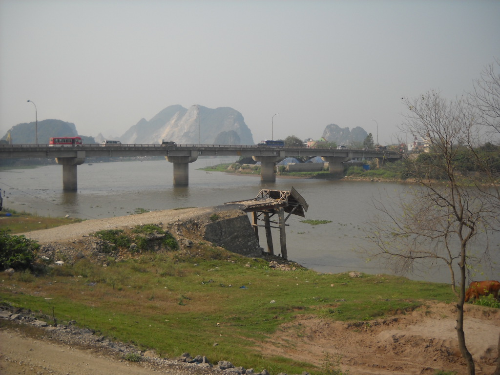
Ha Nam (Hà Nam) occupied the southern edge of the Red River Delta, a low-lying agricultural plain cut through by the Day and Nhue rivers. Administratively it ceased to exist on 1 July 2025, when a national restructuring absorbed it into the newly enlarged Ninh Binh province. The physical geography, the roads, the temples and the karst outcrops did not change; only the provincial boundary and administration changed.
Administrative change
Until 30 June 2025, Ha Nam was one of Vietnam's 63 provinces, holding ISO code VN-63 and governed from Phu Ly city. Under National Assembly resolutions on the rearrangement of provincial-level administrative units, effective 1 July 2025, Ha Nam was dissolved and its territory transferred to the new, enlarged Ninh Binh province. The former district tier has also been abolished nationally; administration now moves directly between provincial authorities and commune or ward level. Visitors, residents and businesses with addresses or registrations in the former Ha Nam area should check with the new Ninh Binh provincial authority for any paperwork implications.
What the territory is known for
The former Ha Nam province sat at the point where the flat delta begins to give way to limestone karst formations that continue southward into what was always Ninh Binh province. This transition zone produced a landscape of paddy fields punctuated by abrupt rocky outcrops — a smaller, quieter version of the scenery that draws large numbers of visitors to Tam Coc and Trang An further south.
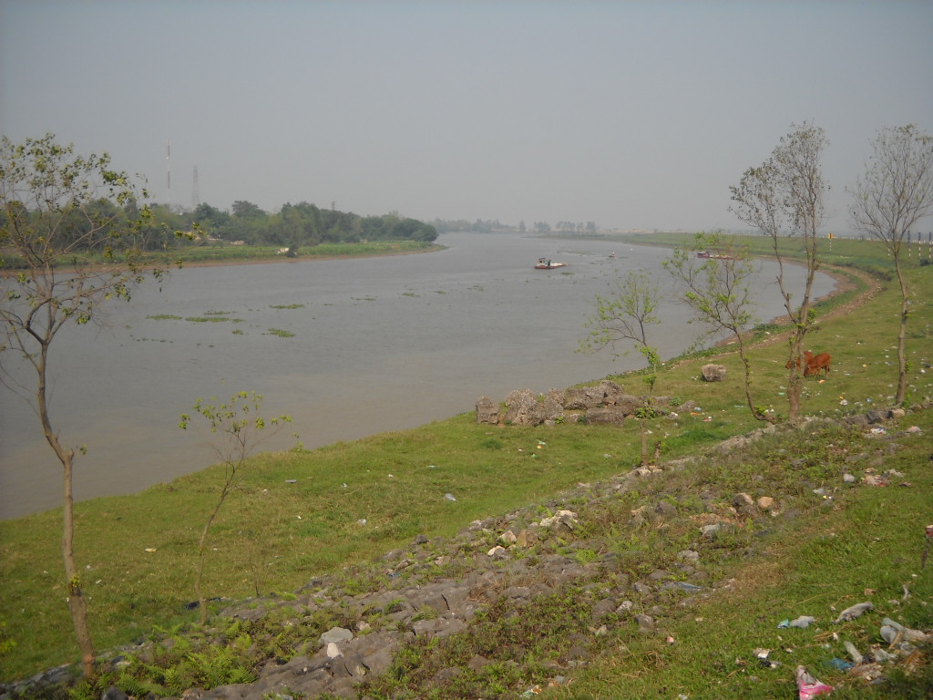
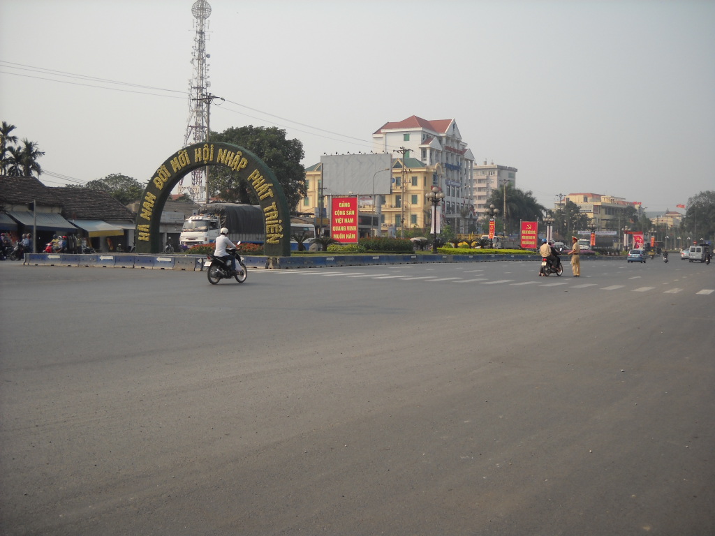
Phu Ly, the former provincial capital, sits on the Day River and functions primarily as a transit and commercial town rather than a destination in itself. The area around Doi Son pagoda and the Long Doi Son hill, a prominent limestone rise in the otherwise flat plain, represented the territory's most distinctive landmark. Craft villages producing stone sculpture, lacquerware and other goods were distributed across the former province and continue to operate.
Getting there and away
The former Ha Nam territory lies on the main north–south corridor between Hanoi and Ho Chi Minh City. National Highway 1A and the reunification railway both pass through Phu Ly, placing it within roughly an hour of Hanoi by train or road under normal conditions. Several Hanoi–southern-Vietnam express trains stop at Phu Ly station, though most long-distance travellers pass through without stopping.
Buses from Hanoi's Giap Bat and My Dinh terminals serve Phu Ly and settlements across the former province. The area is also reachable by road from Ninh Binh city to the south, a journey of moderate length along Highway 1A. There is no commercial airport in the former province; the nearest is Noi Bai International Airport outside Hanoi.
When to go
The former Ha Nam province shared the climate of the wider Red River Delta: four seasons with a warm, humid summer and a cool, drier winter. The rainy season runs roughly from May to October, with the heaviest rainfall in July and August. The flat, low-lying terrain means that sustained heavy rain can cause localised flooding in paddy areas.
The period from October to April is generally considered the more comfortable time to travel. Winter months from December to February can be cool and overcast, with temperatures occasionally dropping to single figures at night, though frost is rare at this elevation. Spring, particularly March and April, brings warmth before the summer rains and coincides with a number of festival periods at local pagodas and communal houses.
Places of interest
Long Doi Son and Doi Son Pagoda: The hill at Long Doi Son rises sharply from the surrounding plain near Duy Tien and has been a site of Buddhist worship for many centuries. The pagoda complex at its base and summit draws pilgrims and day visitors. The climb to the top provides views across the delta that are unusual in a region where elevated ground is scarce.
Ba Hang Pagoda: Situated along the Day River, this pagoda is associated with boat festivals and riverside ceremony, reflecting the river-dependent culture of the delta.
Stone-carving villages: Several villages in the former province, particularly around Ninh locality, are known for producing carved stone items ranging from cemetery monuments to decorative figures. The craft has a long local history and workshops can be observed along village roads.
The territory also contains a number of communal houses (đình) and smaller pagodas significant at a local or district level, though these lack the national profile of sites in the now-merged Ninh Binh province.
Common misunderstandings
The most significant point for anyone using older maps, guidebooks or navigation applications is that Ha Nam no longer exists as a province. Addresses, official correspondence and administrative processes now fall under Ninh Binh province. Physical signage on the ground may lag behind the administrative change for some time.
Travellers sometimes conflate Ha Nam with the larger and better-known Ninh Binh province to its south, which contains Trang An, Tam Coc and Cuc Phuong National Park. Ha Nam's own attractions were quieter and less visited; the territory functioned more as a corridor than as a destination. Those arriving expecting the dramatic karst scenery of Tam Coc will find a flatter, more agricultural landscape in the northern parts of the former province, though the southern fringe approaches that character.
Climate by month
Long-run averages, not a forecast. Reference period: 2015–2024. Source: ERA5 reanalysis (Copernicus) via the Open-Meteo archive API.
Show the numbers
| Month | High °C | Low °C | Rain mm | Rain days | Humidity % |
|---|---|---|---|---|---|
| January | 20.9 | 14.4 | 68 | 12 | 79 |
| February | 22.3 | 15.4 | 46 | 10 | 80 |
| March | 25.6 | 18.9 | 69 | 12 | 84 |
| April | 28.6 | 21.7 | 108 | 11 | 84 |
| May | 31.5 | 24.8 | 196 | 17 | 83 |
| June | 33.6 | 26.8 | 204 | 16 | 78 |
| July | 32.8 | 26.3 | 306 | 20 | 81 |
| August | 31.6 | 25.7 | 382 | 24 | 86 |
| September | 30.4 | 24.7 | 362 | 22 | 86 |
| October | 27.9 | 21.8 | 214 | 15 | 80 |
| November | 25.8 | 19.3 | 69 | 11 | 79 |
| December | 21.2 | 14.7 | 43 | 7 | 74 |
Also known as / see also
Now part of
Referenced by
Sources
- ERA5 climate normals — Copernicus / Open-Meteo (CC BY 4.0) accessed 30 August 2026
Supports: monthly temperature and rainfall normals, and elevation - Ha Nam (Q36413) — Wikidata (CC0 1.0) accessed 30 August 2026
Supports: coordinates, area, population - Ha Nam — Wikipedia (CC BY-SA 4.0) accessed 30 August 2026
Supports: background
Current Last verified: 29 August 2026. Rules, fares and prices change — check the official source before acting on anything here. Report a mistake.
Picture credits (4)
Nhà thờ Sở Kiện, Hà Nam, Hoangvantoanajc, CC BY-SA 3.0, Wikimedia Commons · Cầu Đoan Vỹ bắc qua sông Đáy, Ninh Bình-Hà Nam, Nguyễn Đông Sơn at Vietnamese Wikipedia, CC BY-SA 3.0, Wikimedia Commons · Sông Đáy, đoạn qua Thanh Hải, Thanh Liêm, Hà Nam, Nguyễn Đông Sơn at Vietnamese Wikipedia, CC BY-SA 3.0, Wikimedia Commons · Trung tâm TP.Phủ Lý, Hà Nam, Nguyễn Đông Sơn at Vietnamese Wikipedia, CC BY-SA 3.0, Wikimedia Commons