2025 constitutional amendment and Law on Organisation of Local Government establishing a two-tier local government
What Hạ Long is
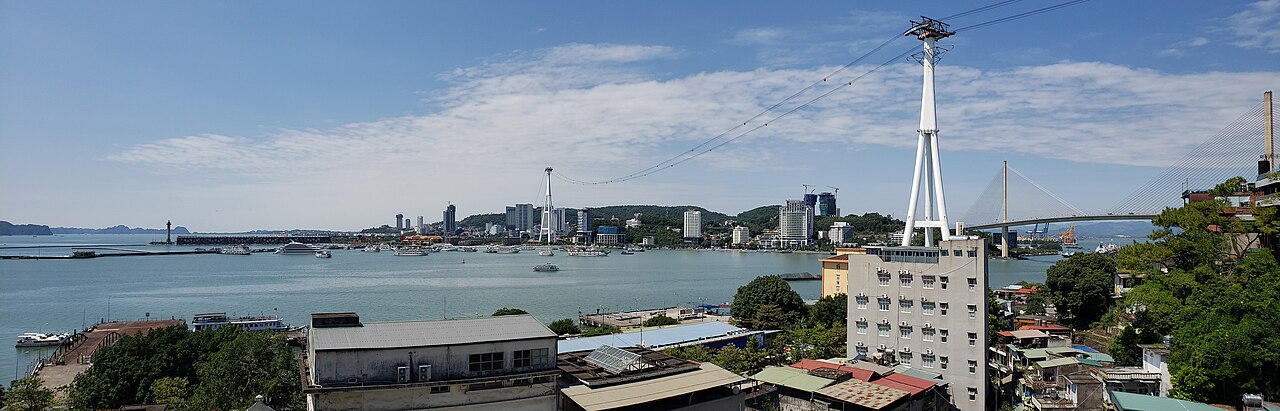
Hạ Long is a coastal city on the western shore of Hạ Long Bay, in the northeast of Vietnam. The city itself is a mid-sized urban centre built largely from the 1990s onward, functioning as the main gateway and logistics hub for the bay. It is not a historic town in the manner of Hội An or Huế; its architecture is predominantly concrete commercial and residential blocks, with a long promenade running along the waterfront.
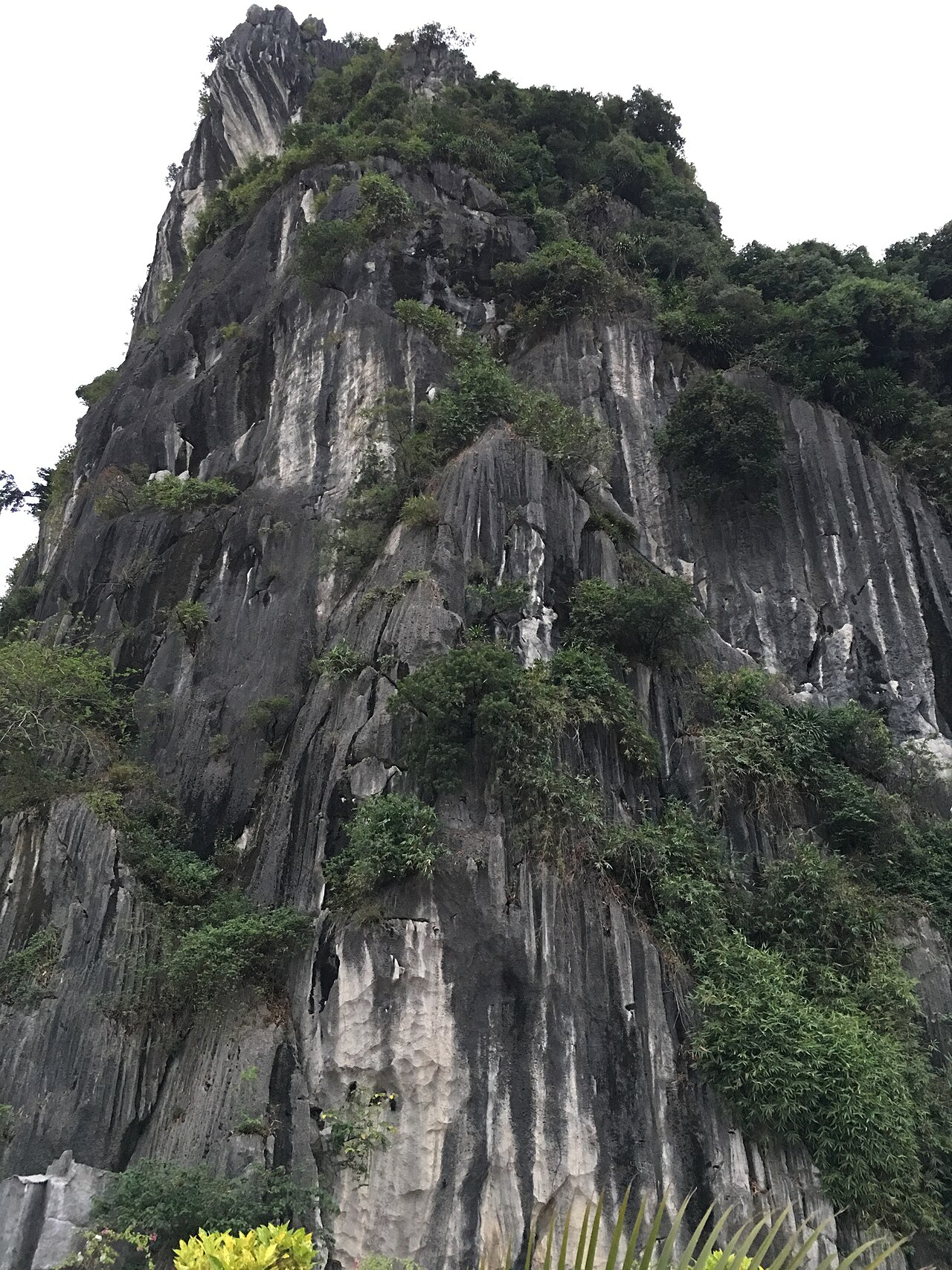
The city is widely known because of what lies immediately offshore: Hạ Long Bay, a UNESCO World Heritage Site covering roughly 1,500 km² and containing thousands of limestone karst islands and islets. The bay, not the city itself, is the draw for most visitors. Hạ Long the city serves primarily as a departure point for bay cruises and as a base for exploring the surrounding coastline and inland areas of what is now Quảng Ninh province.
Administrative status since July 2025
Until 30 June 2025, Hạ Long held the status of a thành phố trực thuộc tỉnh (provincial city) within Quảng Ninh province. On 1 July 2025, Vietnam's nationwide administrative reorganisation came into effect, reducing the country from 63 provincial-level units to 34 and abolishing the district tier entirely. Under this reform, Hạ Long city as a distinct administrative unit ceased to exist; the territory it covered is now governed directly as part of the enlarged Quảng Ninh province under a two-tier province/commune system.
In practical terms, nothing about the city's geography, infrastructure, or character changed on that date. Streets, neighbourhoods, hotels, ferry terminals and bus stations remain where they were. The name Hạ Long continues to be used to describe the city and the bay. Administrative correspondence and official addresses now reference Quảng Ninh province rather than a separate Hạ Long city unit.
Getting to and from Hạ Long
The main overland route from Hà Nội runs east along the expressway through Hải Dương and Hải Phòng, covering roughly 160 km. Frequent limousine minibuses and coach services connect Hà Nội's Mỹ Đình and Gia Lâm terminals to Hạ Long's Bãi Cháy bus station, with journey times typically between two and a half and four hours depending on traffic and vehicle type.
A high-speed catamaran service links Hạ Long to Cát Bà island, offering an alternative route for travellers moving between the bay areas without returning to Hà Nội. Seaplane services have operated between Hà Nội's Nội Bài airport and Tuần Châu island, though schedules and operators have changed over time and availability should be confirmed locally.
The nearest major airport with scheduled services is Vân Đồn International Airport, located to the east in Quảng Ninh province, which handles a growing number of domestic routes and some international connections. Nội Bài Airport in Hà Nội remains the most commonly used international gateway for visitors arriving from abroad.
Seasons and when to visit
Hạ Long has a subtropical monsoon climate with four loosely defined seasons. The period from October to April is generally considered the cooler, drier season; temperatures can drop noticeably from December to February, and mist over the bay is common during these months, which some visitors find atmospheric and others find frustrating for photography.
From May to September the weather is warmer and more humid, with the highest rainfall concentrated between June and August. Typhoons affect the Gulf of Tonkin during this period, and bay cruises can be cancelled at short notice when storms approach. July and August are peak domestic tourism months, coinciding with Vietnamese school holidays.
There is no universally ideal time to visit; each season involves trade-offs between weather conditions, crowd levels, and prices — though prices are held separately on this site and not listed here.
Areas of the city and where people stay
Hạ Long is conventionally divided by the Cửa Lục inlet into two main zones: Hòn Gai to the east and Bãi Cháy to the west. The two sides are connected by the Bãi Cháy suspension bridge.
Bãi Cháy contains most of the large hotels, resort complexes, the main tourist promenade, and the primary cruise departure terminals. It has the character of a purpose-built resort strip and is where the majority of international visitors base themselves. Tuần Châu island, connected to the mainland by a causeway west of Bãi Cháy, hosts several large integrated resort developments and an additional cruise pier.
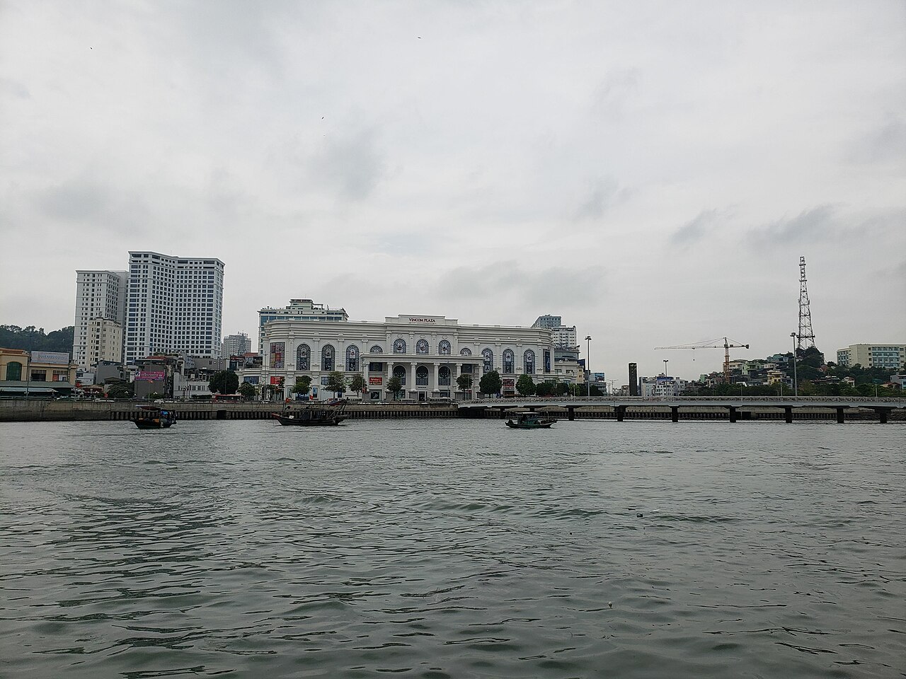
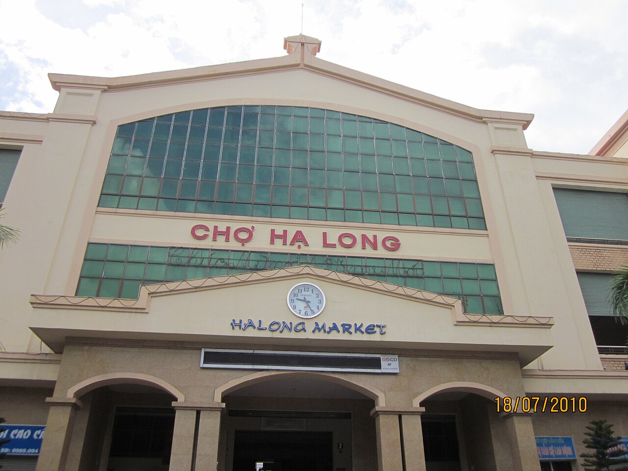
Hòn Gai is the older commercial and residential core, with markets, local restaurants and government offices. It sees fewer leisure tourists and has a more everyday urban character. The coal heritage of the wider area — Quảng Ninh has been a major coal-producing region for over a century — is more visible on the Hòn Gai side, where port and industrial infrastructure remains prominent.
What first-time visitors commonly misunderstand
The city and the bay are not the same thing. Visitors who book accommodation in Hạ Long city expecting immediate waterfront access to the karst scenery sometimes find they are looking at a working harbour and urban shoreline rather than the islands seen in promotional imagery. The limestone formations are reached by boat; spending time on the bay requires joining a cruise, which departs from designated piers rather than from the general city waterfront.
Cruise quality and itinerary vary considerably. Operators range from basic day-trip vessels to multi-day liveaboard junks with significant differences in routing, access to caves, kayaking opportunities, and the degree of crowding at popular sites. The information needed to distinguish between them is not available from looking at Hạ Long city itself.
Hạ Long Bay and Bái Tử Long Bay are distinct. The UNESCO-listed area is bounded and managed; adjacent Bái Tử Long Bay to the northeast covers different territory, is less visited, and is administered separately. Some cruise itineraries enter both; others do not leave the core Hạ Long Bay zone.
Where it is
出典
- Hạ Long (Q36077) — Wikidata (CC0 1.0) アクセス日 30 August 2026
Supports: coordinates, area, population - Hạ Long — Wikipedia (CC BY-SA 4.0) アクセス日 30 August 2026
Supports: background
Current 最終確認: 31 August 2026. Rules, fares and prices change — check the official source before acting on anything here. Report a mistake.
Picture credits (4)
Bai Chay Pano 10-2023, Pdhadam, CC BY-SA 4.0, Wikimedia Commons · Cột Đồng Hồ - Vincom Hạ Long 2022, Pdhadam, CC BY-SA 4.0, Wikimedia Commons · Cho Ha long, Buileducanh ( thảo luận ), CC BY-SA 3.0, Wikimedia Commons · kimjongdae, CC BY 3.0, Wikimedia Commons