The place itself has not changed, and this page continues to cover it.
National Assembly Resolution 202/2025/QH15 on the rearrangement of provincial-level administrative units
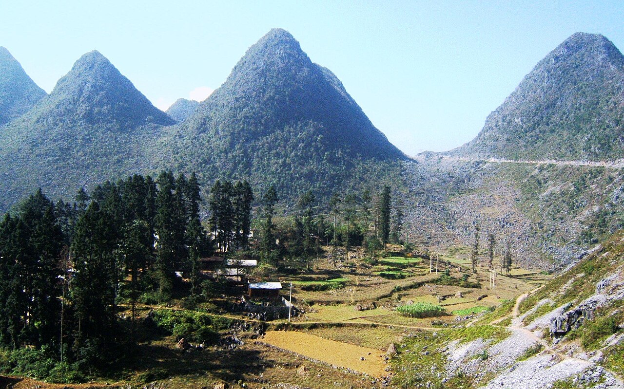
Ha Giang occupies the far north of Vietnam, where the terrain is defined by towering limestone karst formations, deep river gorges and high passes. Long one of the least-developed parts of the country, it attracted growing numbers of travellers seeking rugged landscapes and access to ethnic minority cultures including the Hmong, Tay and Dao peoples. Its administrative identity ended on 1 July 2025 when it was merged into Tuyen Quang province, though the places themselves remain unchanged.
What Ha Giang is known for
The territory is best known for three overlapping attractions: the Ha Giang Loop, a roughly 350-kilometre mountain circuit through the high karst plateau; the Dong Van Karst Plateau Geopark, a UNESCO-recognised geopark containing some of the oldest rock formations in Southeast Asia; and Ma Pi Leng Pass, a high mountain road above the Nho Que River gorge regarded as one of the most dramatic road sections in Vietnam.
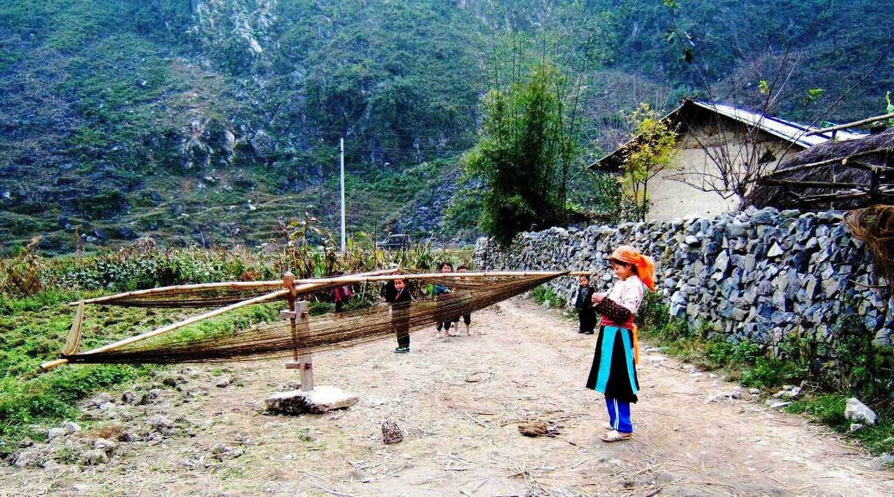
The area also draws visitors interested in the Sunday markets at Dong Van and Meo Vac, where highland ethnic communities gather to trade. Buckwheat flowers, which bloom across the plateau in autumn, have become a significant draw in their own right. The combination of geological spectacle and cultural variety sets the region apart from other northern highland destinations.
Getting there and away
Ha Giang town, the former provincial capital and the main gateway, sits roughly 320 kilometres north of Hanoi. Most visitors travel from Hanoi by bus, with overnight and daytime services available; the journey takes several hours depending on road conditions and the route taken. There is no commercial airport serving the area, and no rail connection.
The loop road itself passes through Quan Ba, Yen Minh, Dong Van and Meo Vac before returning to Ha Giang town. The road is sealed in most sections but narrow, with steep gradients and tight bends; many travellers hire a motorbike or engage a local driver-guide known informally as an Easy Rider. Private cars and minivans can cover the circuit but cannot navigate some of the tightest sections as freely as smaller vehicles. Road conditions deteriorate during heavy rain, and landslips can close sections without warning in the wet season.
When to go
The territory sits at high elevation and experiences cooler temperatures year-round compared with the lowlands, with genuinely cold winters on the plateau. The clearest skies and most stable conditions occur from October through April. Autumn — roughly October and November — coincides with the buckwheat flower season on the plateau, making it the most heavily visited period.
The wet season runs from May to September, bringing mist, rain and the risk of landslips on mountain roads. Visibility can be poor for days at a time. However, the landscape is intensely green, rice terraces are at their most lush, and there are far fewer visitors. Winter, from December to February, can be bitterly cold at altitude and fog is common, but the plateau is quiet and some travellers find the atmosphere compelling. The Tet lunar new year holiday period sees heavy domestic travel and accommodation can be difficult to secure without advance arrangement.
What there is to see and do
Dong Van Karst Plateau Geopark covers the four northernmost districts of the former province and is the focal point of most itineraries. Within it, Dong Van town retains a small but intact old quarter of French colonial and Chinese-influenced architecture. The Vuong family palace (Dinh Vuong or Dinh Ho Vuong), built in the early twentieth century for the Hmong king Lo Tong My, is a well-preserved example of the hybrid architectural style of the region.
Ma Pi Leng Pass connects Dong Van and Meo Vac across a ridge above the Nho Que River; a path descends from the road to a viewpoint over the turquoise river below. Boat trips on the Nho Que through the gorge are available from Meo Vac.
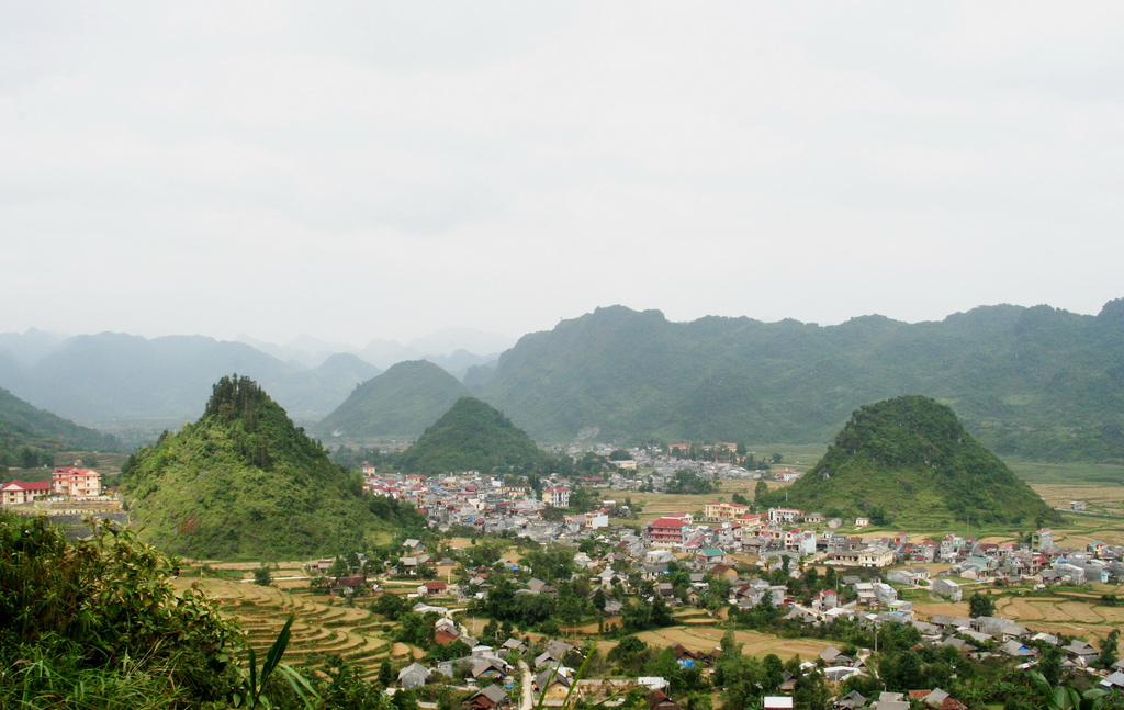
The weekly markets at Dong Van, Meo Vac, Lung Phin and other villages operate on rotating days and remain primarily functional trading gatherings rather than tourist events, though visitor numbers have grown. Quan Ba Heaven's Gate, a high pass near the town of Tam Son, offers a view over the twin karst hills known as the Fairy Bosom hills, one of the most photographed points on the loop.
Where to stay
Accommodation is concentrated in Ha Giang town, which has the widest range of options from guesthouses to mid-range hotels and serves as the logical base before or after the loop. Along the circuit, Dong Van and Meo Vac both have established guesthouse options, including homestays with local families that have become increasingly formalised. Yen Minh has limited but functional accommodation for those breaking the circuit into stages.
Standards outside Ha Giang town are generally modest. Hot water and reliable electricity are not universal, particularly at remoter homestays. The trade-off is access to village life and mountain settings that town-based accommodation cannot offer. Booking ahead is advisable during the buckwheat season and around public holidays, when availability tightens sharply.
Common misunderstandings
Administrative change: Since 1 July 2025, Ha Giang no longer exists as a separate province. It is now part of Tuyen Quang province. Maps, apps and services updated before that date will show the old boundaries; the physical places remain exactly where they were, but official addresses and provincial designations have changed.
The loop is not a day trip: Travellers occasionally underestimate the loop's length and difficulty. Completing the full circuit properly takes a minimum of three days; most find four or five more comfortable. Road quality and weather can add significantly to journey times.
Permits: Certain areas very close to the Chinese border have historically required additional travel permits for foreign nationals. The rules on this have changed over time and may continue to change; travellers should check the current requirement with their guesthouse or a local operator before setting out, and consult official Vietnamese government sources rather than relying on outdated travel accounts.
Altitude and temperature: The plateau sits well above 1,000 metres in many sections. Even in spring and autumn, temperatures at night can be much lower than travellers expecting a tropical climate anticipate. Warm layers are consistently useful.
各月气候
长期平均值,非预测数据。 参考周期: 2015–2024. 来源: ERA5 reanalysis (Copernicus) via the Open-Meteo archive API.
Show the numbers
| 月份 | 最高气温 °C | 最低气温 °C | 降雨量(毫米) | 降雨天数 | Humidity % |
|---|---|---|---|---|---|
| January | 19.7 | 13.9 | 217 | 20 | 84 |
| February | 21.6 | 15.1 | 147 | 18 | 81 |
| March | 25.3 | 18.4 | 191 | 23 | 83 |
| April | 28.8 | 21.2 | 225 | 22 | 82 |
| May | 31.0 | 23.6 | 433 | 26 | 84 |
| June | 32.0 | 24.9 | 559 | 27 | 86 |
| July | 32.2 | 25.1 | 396 | 26 | 85 |
| August | 31.8 | 24.9 | 390 | 25 | 86 |
| September | 30.9 | 24.1 | 306 | 21 | 83 |
| October | 28.3 | 21.5 | 168 | 16 | 78 |
| November | 25.0 | 18.4 | 161 | 16 | 81 |
| December | 20.2 | 14.0 | 135 | 16 | 80 |
Also known as / see also
现为……的一部分
被以下页面引用
来源
- ERA5 climate normals — Copernicus / Open-Meteo (CC BY 4.0) 访问于 30 August 2026
Supports: monthly temperature and rainfall normals, and elevation - Ha Giang (Q36685) — Wikidata (CC0 1.0) 访问于 30 August 2026
Supports: coordinates, area, population - Ha Giang — Wikipedia (CC BY-SA 4.0) 访问于 30 August 2026
Supports: background
Current 最后核实: 29 August 2026. Rules, fares and prices change — check the official source before acting on anything here. Report a mistake.
Picture credits (4)
SaPhin HaGiang Vietnam, BacLuong at Vietnamese Wikipedia, Public domain, Wikimedia Commons · Hmong Girl in PhoCao HaGiang 2005, BacLuong at Vietnamese Wikipedia, Public domain, Wikimedia Commons · Trang phuc Lo Lo, Viethavvh at Vietnamese Wikipedia, Public domain, Wikimedia Commons · Thitrantamson, Thái Nhi at vi.wikipedia, Public domain, Wikimedia Commons