National Assembly Resolution 202/2025/QH15 on the rearrangement of provincial-level administrative units
What Gia Lai Is
Gia Lai is a province in the Central Highlands region, created on 1 July 2025 when Vietnam restructured its 63 provinces into 34. The new province merges the former Binh Dinh province — with its coast, port city of Quy Nhon, and Cham tower heritage — with the former Gia Lai province, a broad highland plateau dominated by coffee, pepper, rubber and the Jarai and Bahnar ethnic communities. The administrative centre is Quy Nhon.
The district tier has been abolished nationwide; Gia Lai now operates on a two-tier system of province and commune. The places themselves have not moved or changed: Pleiku, the An Khe Pass, and the Chu Yang Sin massif are all where they always were.
The province shares borders with Kon Tum to the north, Dak Lak to the south, and Quang Ngai to the northeast, with Laos and Cambodia forming the western frontier.
Landscape and Character
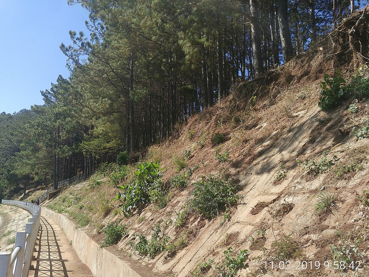
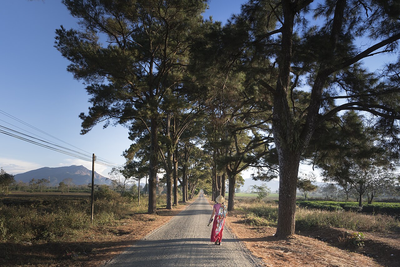
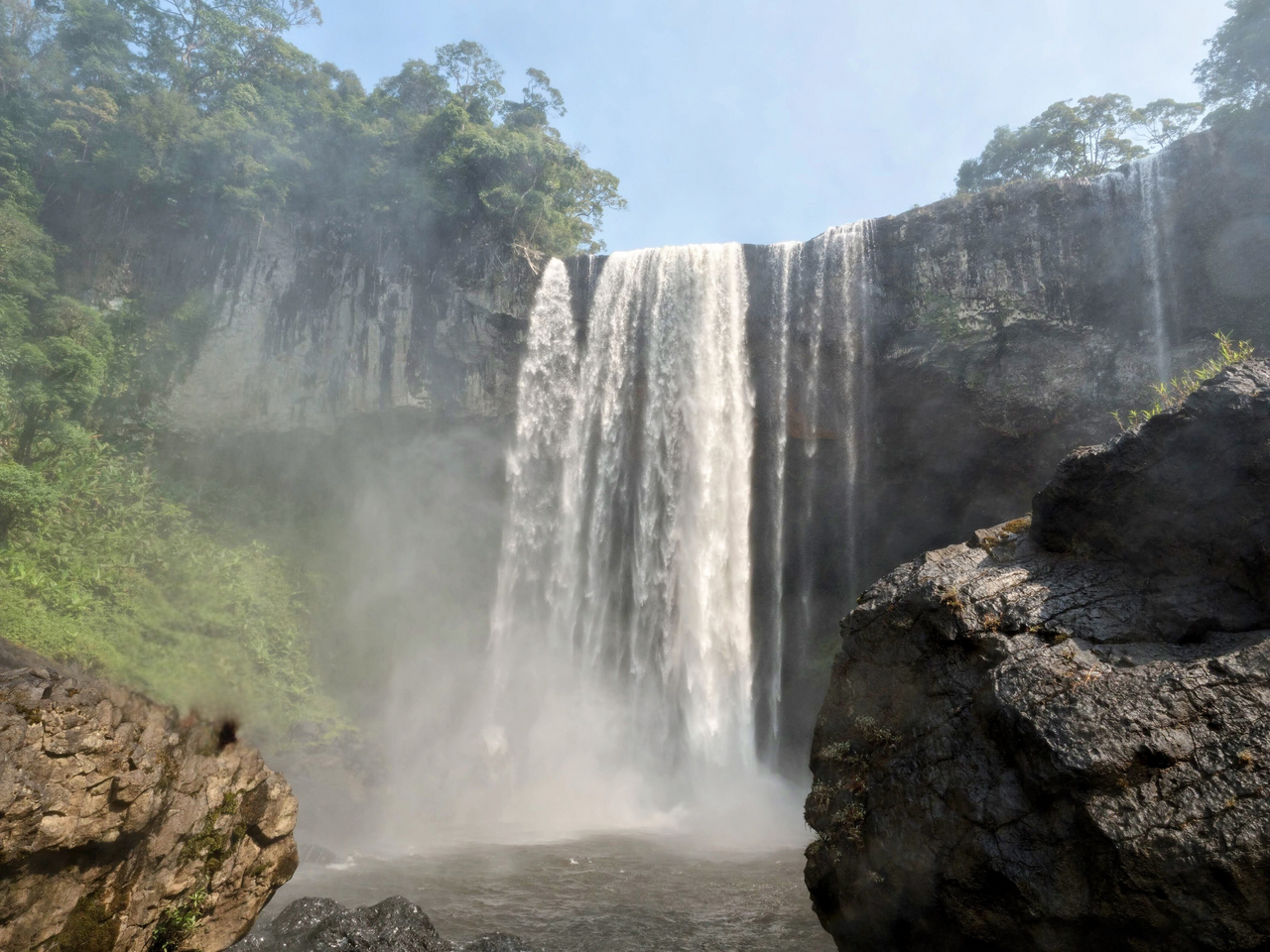
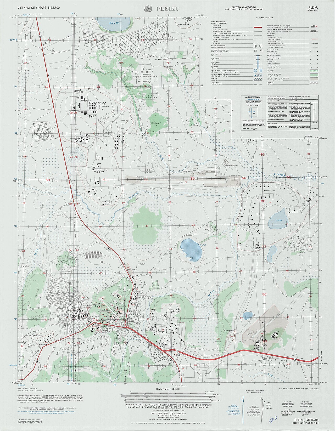
The province spans two distinct zones. The highland interior sits at an average elevation around 500 metres, rising higher on the Kon Ka Kinh massif and the Kon Chu Rang Nature Reserve. Basalt soils here support intensive agriculture — Gia Lai is one of Vietnam's leading producers of robusta coffee, black pepper and rubber. Pleiku, the main city of the highland interior, sits on a plateau surrounded by volcano-formed lakes, the most visited being Bien Ho (Sea Lake), a crater lake several kilometres across.
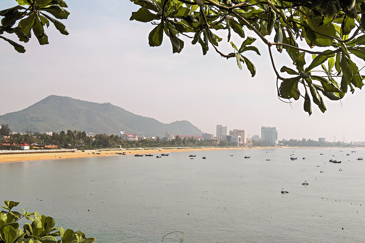
The eastern zone descends sharply through the An Khe Pass toward the coastal plain, where Quy Nhon occupies a sheltered bay. This coastal portion retains the character of a mid-sized Vietnamese port city with fishing fleets, seafood markets and a series of beaches extending north and south of the urban centre.
Gia Lai contains significant Jarai and Bahnar communities, whose longhouse villages, communal rong houses and traditional gong music — recognised by UNESCO — remain visible in the highlands interior, though tourism infrastructure in these areas is limited and changing.
Climate and When to Go
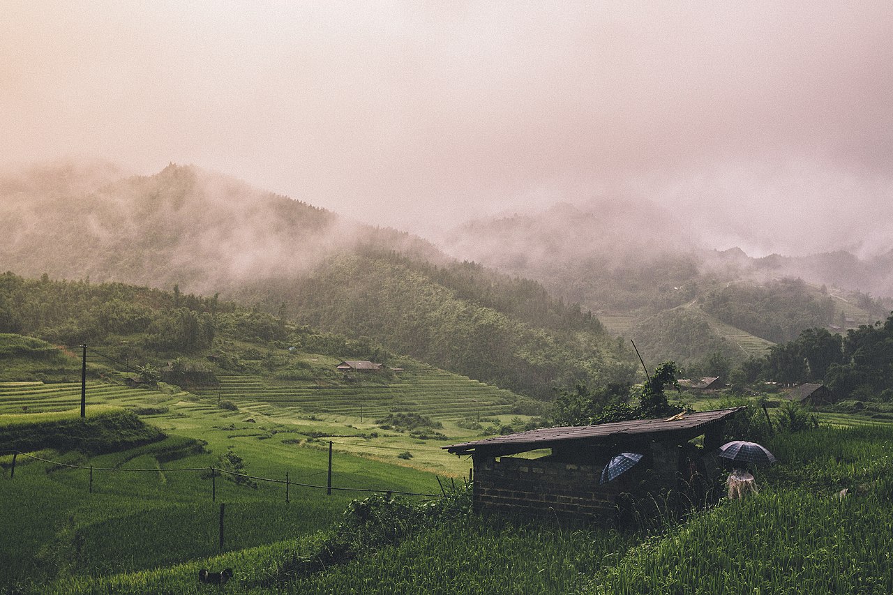
The province has two distinct climates that reflect its geography. The highland interior follows a classic Central Highlands pattern: a pronounced dry season from November through April, when skies are clear and temperatures are relatively cool, and a long wet season peaking between July and September when rainfall is very heavy. The wettest single month is typically September. See When to go: weather by region for a fuller comparison.
The coastal zone around Quy Nhon inverts this rhythm. The coast receives its rain later in the year — October and November are the wettest months — corresponding to the northeast monsoon that drenches the central Vietnamese coast while the highlands are drying out.
Visitors combining the coast and the interior in a single trip should be aware that the two zones can be in opposite weather conditions simultaneously. The An Khe Pass between them is sometimes closed to motorbikes in bad weather. The dry season on the plateau, broadly December to March, is generally the most comfortable time for highland travel, though nights can be unexpectedly cold at elevation.
Getting There and Around
Pleiku Airport receives domestic flights from Hanoi and Ho Chi Minh City, making the highland interior accessible without the long road journey. Phu Cat Airport, east of An Khe and closer to the coast, serves Quy Nhon with domestic connections. Bus services link Pleiku with Kon Tum, Buon Ma Thuot and Quy Nhon; journey times across the An Khe Pass are subject to road conditions.
Within the highland interior, motorbikes are widely used and available for hire, though mountain roads can be steep and poorly surfaced away from the main highways. The Ho Chi Minh Road (Highway 14) runs through the province north to south and is generally in better condition. Car hire with a driver is available in Pleiku for those who prefer not to ride.
Rail travellers reach Quy Nhon via Dieu Tri junction, a short distance from the city, on the main North–South line. Taxis and motorbike taxis connect the junction to the city. SIM cards and eSIMs are useful for navigation given that signage in rural areas is inconsistent.
Things to See and Do
In the highland interior, Bien Ho crater lake near Pleiku is the most frequently visited natural feature. Kon Ka Kinh National Park, in the northern part of the former Gia Lai province, protects primary forest and is recognised as an ASEAN Heritage Park; access requires planning and is not straightforward independently. Jarai and Bahnar cemeteries — known as nhà mồ — are elaborately decorated communal burial structures and represent a living sculptural tradition, found in villages throughout the plateau.
The An Khe area, near the eastern escarpment, is historically associated with the Tây Sơn uprising of the 18th century; several sites commemorate Nguyễn Huệ (Emperor Quang Trung), who raised his forces here before eventually defeating both Chinese and Siamese invasions.
On the coast, Quy Nhon offers Cham towers at Banh It and Duong Long, the latter containing what are described as the tallest brick Cham towers in Vietnam. Ky Co and Eo Gio are coastal formations north of the city known for their rock scenery. The city's Long Khanh Pagoda, with its large outdoor Buddha statue, is a local landmark.
Where to Stay
Accommodation divides clearly along the province's geographic fault line. Quy Nhon has the widest range, from international-standard beach resorts on the headlands north and south of the city to guesthouses and mid-range hotels in the urban centre. The coast attracts leisure visitors and has developed accordingly, with beach-facing properties at various price points.
Pleiku offers business hotels, a smaller number of boutique properties, and budget guesthouses catering mainly to domestic travellers, traders and government visitors. It is not a conventional tourist base but accommodation is adequate for those exploring the plateau.
Rural homestays exist in some Jarai and Bahnar villages, though availability and standards vary; local operators in Pleiku can arrange these. There is no equivalent network to, say, the northern highlands homestay circuit, and expectations should be adjusted accordingly. Prices vary by season.
Common Misunderstandings
The province is not the same as the old Gia Lai province. Since 1 July 2025 the administrative unit called Gia Lai encompasses the former Binh Dinh as well. Quy Nhon, previously the capital of Binh Dinh, is now the provincial centre. References online and in older guidebooks to either former province as a standalone unit reflect a structure that no longer exists.
The highland interior and the coast are genuinely far apart. Pleiku to Quy Nhon takes several hours via the An Khe Pass; treating them as a casual day trip is a planning error.
Altitude matters for packing. Pleiku's elevation means evenings and early mornings can be cold by Vietnamese standards, particularly from December to February. Visitors arriving from the coast or from lowland Vietnam are sometimes underprepared.
Village visits require sensitivity. Jarai and Bahnar communities are not tourist attractions by default. Photography of funerary sculptures and ceremonies should not be assumed to be welcome. Local guides who have existing relationships with specific communities make a material difference. Consult Safety and common scams and review Money, ATMs and cards before travelling to rural areas where banking infrastructure is limited.
Aya göre iklim
Uzun vadeli ortalamalar; tahmin değildir. Referans dönemi: 2015–2024. Kaynak: ERA5 reanalysis (Copernicus) via the Open-Meteo archive API.
Show the numbers
| Ay | En yüksek °C | En düşük °C | Yağış miktarı (mm) | Yağışlı gün sayısı | Humidity % |
|---|---|---|---|---|---|
| January | 26.6 | 18.0 | 9 | 2 | 72 |
| February | 28.8 | 18.1 | 3 | 1 | 68 |
| March | 32.0 | 20.1 | 19 | 4 | 65 |
| April | 32.9 | 21.8 | 47 | 9 | 67 |
| May | 31.6 | 22.7 | 169 | 21 | 76 |
| June | 29.7 | 22.4 | 157 | 26 | 81 |
| July | 28.5 | 21.9 | 249 | 28 | 85 |
| August | 28.7 | 22.0 | 205 | 28 | 84 |
| September | 28.5 | 21.4 | 274 | 26 | 85 |
| October | 28.0 | 20.7 | 226 | 20 | 83 |
| November | 27.4 | 20.4 | 93 | 8 | 79 |
| December | 26.2 | 18.8 | 20 | 4 | 75 |
Places within Gia Lai
Where it is
Also known as / see also
Yakın çevrede
Birleştirildi
Referans veren sayfalar
Kaynaklar
- ERA5 climate normals — Copernicus / Open-Meteo (CC BY 4.0) erişildi 30 August 2026
Supports: monthly temperature and rainfall normals, and elevation - Gia Lai (Q36662) — Wikidata (CC0 1.0) erişildi 30 August 2026
Supports: coordinates, area, population - Gia Lai — Wikipedia (CC BY-SA 4.0) erişildi 30 August 2026
Supports: background
Current Son doğrulama: 31 August 2026. Rules, fares and prices change — check the official source before acting on anything here. Report a mistake.
Picture credits (7)
Biển Hồ, TP Pleiku, Gia Lai, Pxchanh, CC0, Wikimedia Commons · Gia Lai, Vietnam, Quangpraha, CC0, Wikimedia Commons · K50 Waterfall Kon Chu Rang Nature Reserve Gia Lai Vietnam, VinhNguyen.1257, CC0, Wikimedia Commons · Vietnam (Unsplash 4LYbjO hDDw), Lee Aik Soon aiksooon, CC0, Wikimedia Commons · Vietnam fishermen (Unsplash), Priscilla Du Preez artographybyp, CC0, Wikimedia Commons · Biển Quy Nhơn, Bùi Thụy Đào Nguyên, CC BY-SA 3.0, Wikimedia Commons · AMS - Pleiku, Vietnam, Unknown author Unknown author or not provided, Public domain, Wikimedia Commons