National Assembly Resolution 202/2025/QH15 on the rearrangement of provincial-level administrative units
What Dong Thap is
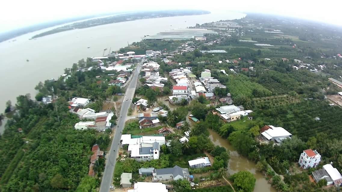
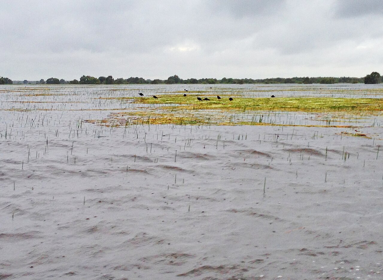
Dong Thap is a province in the Mekong Delta, occupying a stretch of the Plain of Reeds (Đồng Tháp Mười) — a vast seasonally inundated floodplain that gives the province its name. The terrain is almost completely flat, rarely rising more than a few metres above sea level, and is threaded by a dense network of canals, rivers and distributaries of the Mekong and Bassac river systems.
The province was formed on 1 July 2025 through the merger of the former provinces of Tien Giang and Dong Thap, as part of Vietnam's nationwide consolidation from 63 to 34 provincial-level units. The district tier was abolished at the same time; the area is now administered as a two-tier province/commune system with My Tho as the provincial centre. The landscapes, towns and cultural character of the area have not changed as a result of this administrative reorganisation.
Dong Thap is one of Vietnam's leading producers of lotus, rice and catfish (cá tra), and the seasonal rhythm of the floodwaters shapes agriculture, transport and daily life across the province.
Seasons and when to visit
Dong Thap has a classic southern Vietnamese tropical monsoon climate with two distinct seasons. The dry season runs roughly from December through April: temperatures peak sharply in March and April, rainfall is relatively low, and canals can shrink considerably. The wet season sets in during May and intensifies through July to October, when monthly rainfall totals are at their heaviest and the Plain of Reeds floods extensively.
The flood season — locally called mùa nước nổi, or "the season of rising water" — is not simply an obstacle. It is when snake-head fish and other species migrate into the fields, when lotus blooms most vigorously, and when traditional fishing methods such as the lift-net and bamboo fish traps are actively used. Visitors who come specifically for this spectacle should aim for August to October. Those who prefer drier, cooler and more navigable conditions should come between November and February.
For a broader comparison of regional weather patterns, see When to go: weather by region.
Tram Chim National Park and natural sites
Tram Chim National Park is the province's most significant natural attraction and one of the most important wetland reserves in mainland South-East Asia. It covers approximately 7,500 hectares of seasonally flooded grassland and melaleuca forest in the north of the province, and is designated a Ramsar Wetland of International Importance. The park is most noted for the eastern sarus crane (Antigone antigone sharpii), one of the world's tallest flying birds, which winters here between December and May. Other species recorded include the painted stork, the lesser adjutant and a range of migratory waders.
Boat trips through the park's canals are the standard way to observe wildlife; early morning departures offer the best conditions. The landscape itself — open sedge flats, stands of năn grass and melaleuca corridors — is distinctive and quite unlike the densely vegetated riverbanks found elsewhere in the delta.
Beyond Tram Chim, the lotus fields around Thap Muoi commune are widely visited during the bloom season, typically peaking between June and October. The flowers open in the early morning and close by mid-morning, so timing matters.
Towns, settlements and how areas differ
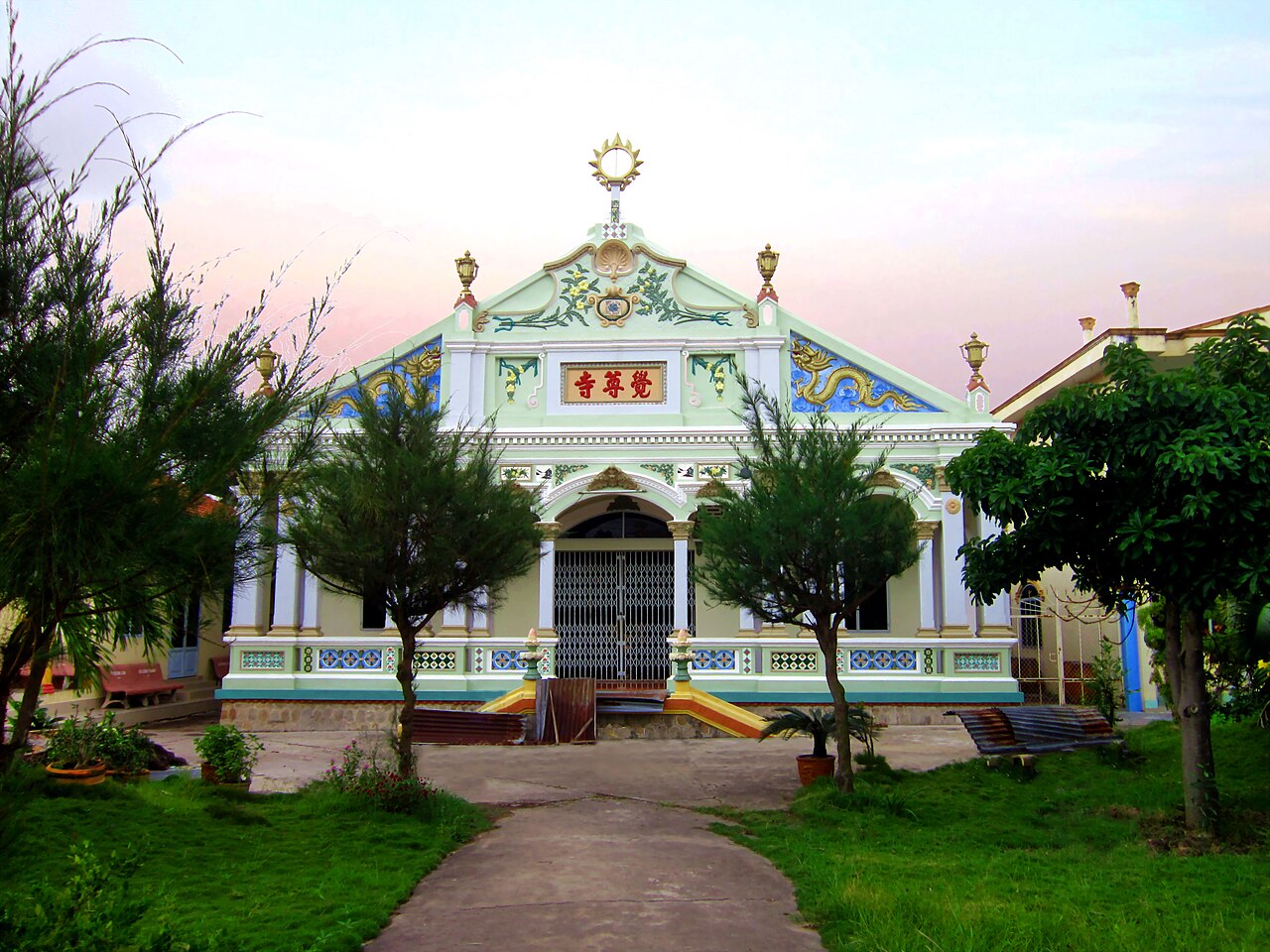
My Tho, the provincial centre, is a substantial river town on the northern bank of the Tien River. It has long functioned as a gateway to the delta for visitors coming from Ho Chi Minh City, and retains a busy commercial waterfront, market streets and a range of accommodation. The city is known for its version of hủ tiếu noodle soup, a dish closely associated with the region and prepared here with a clear pork and dried seafood broth.
Cao Lanh, the former administrative centre of the old Dong Thap province, remains a significant town in the southern part of the province. It sits closer to the Plain of Reeds and serves as a practical base for reaching Tram Chim National Park and the Xeo Quyt historical forest, a remnant of the melaleuca wetland forest that once covered much of the plain.
Sa Dec, on the Tien River, is known for its flower-growing villages — particularly around Tan Qui Dong — which supply cut flowers and ornamental plants to markets across southern Vietnam. The town also has associations with the French author Marguerite Duras, who spent part of her childhood here; the house of her family's acquaintance Huynh Thuy Le is preserved as a heritage site.
Getting there and moving around
My Tho is approximately 70 kilometres from Ho Chi Minh City by road and is accessible by express bus from the city's western and southern bus terminals. The journey time varies with traffic. Cao Lanh is further west and is served by buses from Ho Chi Minh City as well as from Can Tho and Chau Doc.
Within the province, road travel is the default for most routes. Motorbike hire is widely available and practical for shorter distances, particularly for reaching villages, canal paths and lotus fields that lie off the main highways. For Tram Chim National Park, visitors typically arrive in Tam Nong by road and then take park-arranged boats.
Boat services on the main river channels connect some towns and communes, though these are less systematically scheduled than bus services. The canal network is extensive but navigation without a local guide or pre-arranged trip is not straightforward.
Neighbouring provinces include An Giang to the west, Vinh Long to the south-east and Can Tho to the south.
Food and agriculture
Dong Thap's agricultural output shapes what appears on local tables. Catfish farming in floating cages on the Tien River is one of the province's main industries; cá tra is prepared grilled, braised in clay pots (cá kho tộ) or eaten raw in thin slices with rice paper and fresh herbs. Rice is grown in multiple cycles per year where water management allows.
Lotus is used comprehensively: the seeds are eaten fresh, dried or candied; the stems are sliced into salads; the leaves wrap steamed rice; the stamens are dried and used to scent tea. During the flood season, other foraged ingredients come into season — field crabs, water mimosa (rau nhút), water lily stems and snakehead fish — and appear in dishes specific to this period.
Hủ tiếu Mỹ Tho uses a broth made from pork bones, dried squid and shrimp, and is typically served with a combination of pork cuts, shrimp and fresh herbs. Locals often take the broth separately from the noodles. The dish is considered distinct from Phnom Penh and Saigon versions of the same noodle form.
Practical notes and common misunderstandings
The administrative changes of July 2025 mean that references to the former Tien Giang province as a separate entity are now out of date. My Tho, formerly the capital of Tien Giang, is now the centre of the unified Dong Thap province. Maps, signage and databases are in the process of being updated and may be inconsistent for some time.
The flood season is frequently described in travel material as a problem to avoid. In Dong Thap it is more accurately understood as a defining seasonal feature, with its own activities, foods and visual character. Roads can be affected and some rural tracks become impassable, but the core towns and main routes remain functional.
Visitors sometimes underestimate distances within the province. The canal network looks navigable on maps but road routes often follow levees and may be indirect; journey times between towns can be longer than the straight-line distance suggests.
For general practical preparation, see Vietnam e-visa, Money, ATMs and cards, SIM cards and eSIMs and Safety and common scams.
Климат по месяцам
Многолетние средние значения, не прогноз. Референсный период: 2015–2024. Источник: ERA5 reanalysis (Copernicus) via the Open-Meteo archive API.
Show the numbers
| Месяц | Макс. °C | Мин. °C | Осадки, мм | Дождливых дней | Humidity % |
|---|---|---|---|---|---|
| January | 30.6 | 22.6 | 35 | 5 | 76 |
| February | 31.9 | 22.7 | 15 | 3 | 71 |
| March | 33.7 | 24.1 | 33 | 4 | 69 |
| April | 33.8 | 25.3 | 96 | 13 | 74 |
| May | 32.6 | 25.8 | 212 | 26 | 82 |
| June | 30.9 | 25.3 | 234 | 27 | 86 |
| July | 30.4 | 25.0 | 304 | 29 | 86 |
| August | 30.7 | 25.0 | 274 | 30 | 85 |
| September | 30.6 | 24.7 | 346 | 29 | 87 |
| October | 30.7 | 24.2 | 355 | 28 | 87 |
| November | 30.8 | 24.0 | 182 | 22 | 84 |
| December | 30.3 | 23.0 | 80 | 11 | 78 |
Places within Dong Thap
Where it is
Also known as / see also
Рядом
Поглощён
Упоминается на страницах
Источники
- ERA5 climate normals — Copernicus / Open-Meteo (CC BY 4.0) просмотрено 30 August 2026
Supports: monthly temperature and rainfall normals, and elevation - Dong Thap (Q36676) — Wikidata (CC0 1.0) просмотрено 30 August 2026
Supports: coordinates, area, population - Dong Thap — Wikipedia (CC BY-SA 4.0) просмотрено 30 August 2026
Supports: background
Current Последняя проверка: 31 August 2026. Rules, fares and prices change — check the official source before acting on anything here. Report a mistake.
Picture credits (6)
Cai Dua market, Dương Đăng Khôi, CC BY-SA 4.0, Wikimedia Commons · Chùa Tân Hòa, Bùi Thụy Đào Nguyên, CC BY-SA 3.0, Wikimedia Commons · Dinh vinh phuoc, Bùi Thụy Đào Nguyên, CC BY-SA 3.0, Wikimedia Commons · Cho nuoc x-001, Bùi Thụy Đào Nguyên, CC BY-SA 3.0, Wikimedia Commons · Chùa Giác Tôn, Bùi Thụy Đào Nguyên, CC BY-SA 3.0, Wikimedia Commons · trungydang, CC BY 3.0, Wikimedia Commons