
National Assembly Resolution 202/2025/QH15 on the rearrangement of provincial-level administrative units
Overview and character
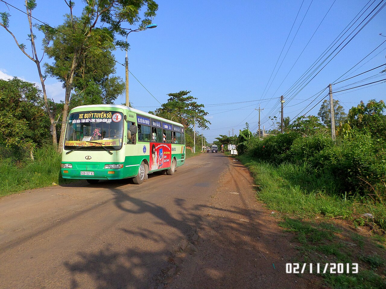
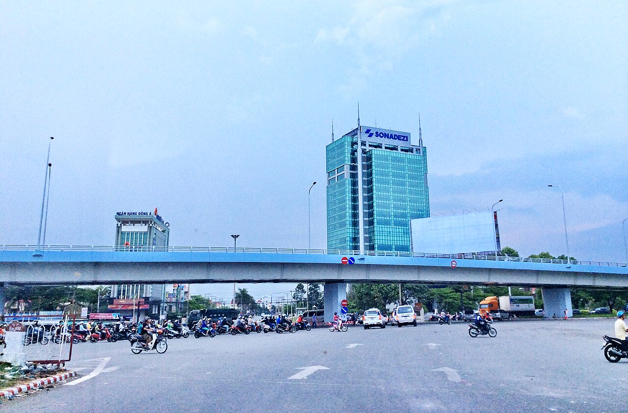
Dong Nai province sits in Vietnam's southeast region, with its administrative centre at Bien Hoa, one of the country's oldest colonial-era towns and now a major industrial hub. The province was formed in its current boundaries on 1 July 2025, when Vietnam's 63 provincial-level units were reorganised into 34: the new Dong Nai incorporates the former provinces of Binh Phuoc and the original Dong Nai. The places, roads, rivers and communities within those former boundaries have not moved or changed; only the administrative structure above them is different.
The Dong Nai River, one of southern Vietnam's longest, runs through the province and historically sustained both agriculture and trade. Today the province is better known as part of the country's manufacturing belt, hosting dozens of industrial zones that produce electronics, textiles and processed goods for export. Outside the industrial corridors, the landscape includes rubber plantations, cashew groves, pepper farms and secondary forest, particularly in the northern reaches approaching Cat Tien National Park.
Administrative note
Until 1 July 2025, Dong Nai and Binh Phuoc were separate provincial-level units. Under Vietnam's nationwide administrative merger that took effect on that date, they were combined into a single province retaining the Dong Nai name, with Bien Hoa as the provincial centre. Vietnam simultaneously abolished the district tier, moving to a two-tier system of provinces and communes. References to Binh Phuoc as a separate province, or to named districts as current administrative units, reflect the pre-July 2025 structure and are no longer accurate. Practical information — roads, settlements, national park entrances — remains valid regardless of the administrative change.
Getting there and moving around
Bien Hoa is connected to Ho Chi Minh City by National Highway 1 and by commuter rail on the north–south mainline. Journey times from the city centre are short, making Bien Hoa accessible as a day trip or an easy stopover on routes heading north. Buses and minivans link Bien Hoa to destinations across the southeast, including Vung Tau to the south and the former Binh Phuoc area to the north.
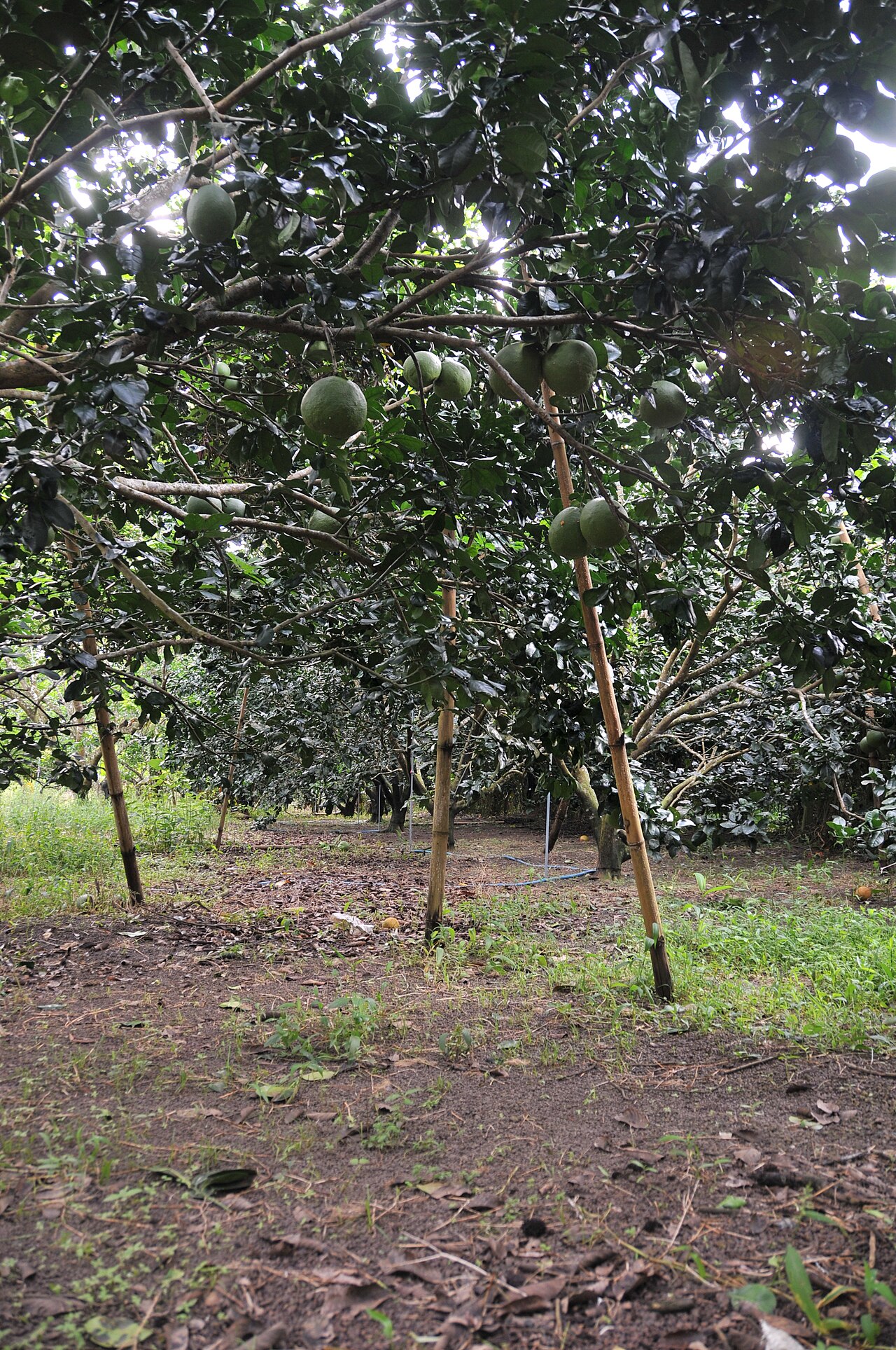
Within the province, distances are considerable given the merged territory's extent. The northern sections, including the approach to Cat Tien National Park, are best reached by private vehicle or hired motorbike. Motorbike rental is common in Bien Hoa, and the roads through rubber and cashew country are generally in reasonable condition, though unpaved tracks branch off into forest areas. There is no domestic airport within the province; Ho Chi Minh City's Tan Son Nhat airport is the nearest international gateway.

Climate and when to visit
Dong Nai has a classic southern Vietnamese tropical climate with two distinct seasons. The dry season runs from roughly November through April, with the coolest and driest months falling in December and January. Temperatures rise sharply through February and March, peaking in April before the rains arrive. The wet season dominates from May to October, with July, August and September bringing the heaviest rainfall; monthly totals during these months are substantially higher than at any other time of year.
For most visitors, the dry season offers the most comfortable conditions, particularly for exploring forested areas and the national park. The wet season brings lush green landscapes and cooler daytime temperatures but muddy trails and occasional flooding near the Dong Nai River. See When to go: weather by region for a broader seasonal picture of the southeast.
What to see and do
Bien Hoa retains traces of its history as one of the first towns established under French colonial administration, including older temple complexes and the market district along the river. The Buu Long area on the city's edge features limestone formations, lakes and pagodas that draw visitors from Ho Chi Minh City at weekends.
Cat Tien National Park, whose southern entrance is accessible from the province's northern zone (formerly Binh Phuoc), is one of the largest remaining lowland tropical forest areas in southern Vietnam. It supports Javan rhinoceros habitat — though the Vietnamese subspecies is considered functionally extinct — as well as gibbons, sun bears, crocodiles and an extensive bird list. Night drives and guided forest walks are the primary activities.
The Dong Nai River offers boat trips through sections of riverside forest and past fish farms. Tri An Lake, formed by the Tri An hydroelectric dam, is a significant body of water used for fishing and weekend recreation. The province's cashew and pepper farms, particularly in the northern areas, can be visited during harvest periods.
Practical matters
Bien Hoa has a full range of urban services including hospitals, banks and ATMs; see Money, ATMs and cards for general guidance. Outside the city, facilities thin out quickly, particularly towards the national park and in the former Binh Phuoc communes. Carrying cash is advisable for rural travel.
Mobile signal is strong in Bien Hoa and along main highways but patchy in forested and hilly areas. A local SIM or eSIM is useful; see SIM cards and eSIMs. Foreign nationals entering Vietnam require a valid visa or e-visa; details are at Vietnam e-visa. Common issues in the province mirror broader southern Vietnam patterns; Safety and common scams covers the main categories. Food in Bien Hoa follows southern Vietnamese cuisine broadly, with local specialities including grilled river fish, cháo lòng (offal congee) and dishes featuring locally grown pepper and cashew.
What first-time visitors get wrong
Treating Bien Hoa as merely a suburb of Ho Chi Minh City. The two cities are close and well connected, but Bien Hoa has a distinct identity, older civic infrastructure and a separate character rooted in its river-town and later industrial history. Passing through without stopping means missing the Buu Long formations and the older temple district.
Underestimating the province's extent. The merged province is large, and the drive from Bien Hoa to the Cat Tien area takes several hours on rural roads. Visitors planning to combine the city with the national park should allow at least two days.
Visiting Cat Tien without advance planning. Accommodation near the park is limited and books out at weekends and public holidays. Guided night drives require pre-booking through the park management office. Arriving without a reservation, particularly during the dry season peak, often means turning back.
Confusing the administrative merger with geographic change. Maps and guidebooks printed before July 2025 show Binh Phuoc as a separate province. The roads, towns and park entrances they depict are still accurate; only the provincial label has changed.
المناخ حسب الشهر
متوسطات طويلة الأمد، وليست تنبؤاً. الفترة المرجعية: 2015–2024. المصدر: ERA5 reanalysis (Copernicus) via the Open-Meteo archive API.
Show the numbers
| الشهر | أعلى درجة حرارة °م | الحد الأدنى °C | كمية الأمطار (ملم) | أيام الأمطار | Humidity % |
|---|---|---|---|---|---|
| January | 31.0 | 22.5 | 21 | 4 | 71 |
| February | 32.6 | 22.7 | 9 | 2 | 65 |
| March | 34.0 | 23.9 | 16 | 3 | 65 |
| April | 34.1 | 25.3 | 60 | 10 | 70 |
| May | 32.4 | 25.7 | 217 | 25 | 80 |
| June | 30.3 | 25.0 | 274 | 28 | 87 |
| July | 29.5 | 24.7 | 391 | 30 | 89 |
| August | 29.7 | 24.6 | 346 | 30 | 88 |
| September | 29.4 | 24.4 | 374 | 29 | 89 |
| October | 29.4 | 24.1 | 289 | 26 | 88 |
| November | 29.8 | 23.8 | 114 | 16 | 84 |
| December | 29.8 | 22.9 | 63 | 9 | 78 |
Places within Dong Nai

Where it is
Also known as / see also
قريب
مُدمج
مُشار إليه من
المصادر
- ERA5 climate normals — Copernicus / Open-Meteo (CC BY 4.0) تم الوصول إليه 30 August 2026
Supports: monthly temperature and rainfall normals, and elevation - Dong Nai (Q33271) — Wikidata (CC0 1.0) تم الوصول إليه 30 August 2026
Supports: coordinates, area, population - Dong Nai — Wikipedia (CC BY-SA 4.0) تم الوصول إليه 30 August 2026
Supports: background
Current آخر تحقق: 31 August 2026. Rules, fares and prices change — check the official source before acting on anything here. Report a mistake.
Picture credits (7)
Nhà thờ chính Văn miếu Trấn Biên, Bùi Thụy Đào Nguyên, CC BY-SA 3.0, Wikimedia Commons · Lam Tr Th, CC BY-SA 3.0, Wikimedia Commons · Lam Tr Th, CC BY-SA 3.0, Wikimedia Commons · ChieuTimViet, CC BY 3.0, Wikimedia Commons · Lê Phước, CC BY 3.0, Wikimedia Commons · Macrobrochis gigas, Cat Tien National Park, Dotrihieu, CC BY-SA 4.0, Wikimedia Commons · trungydang, CC BY 3.0, Wikimedia Commons