The place itself has not changed, and this page continues to cover it.
2025 constitutional amendment and Law on Organisation of Local Government establishing a two-tier local government
Character and orientation
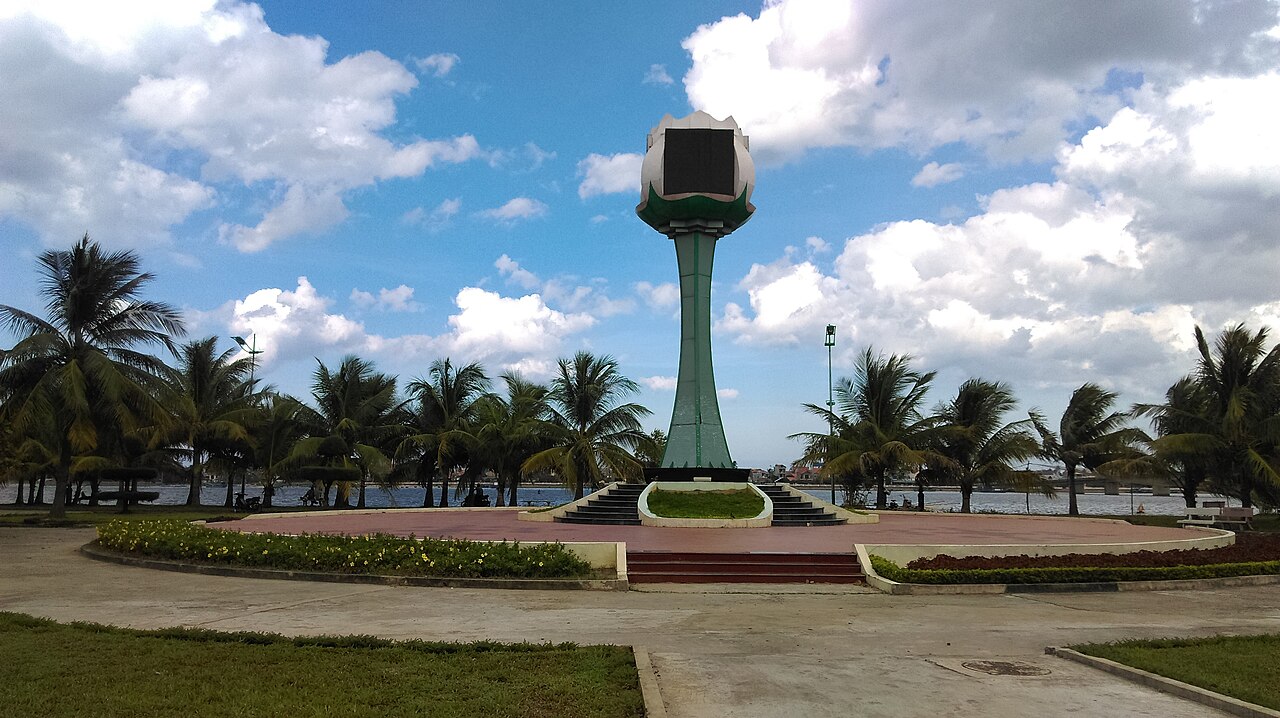
Dong Hoi sits at the mouth of the Nhat Le River, with a sandy beach running along the eastern edge of the town and low-rise streets stretching back towards the river. It served as the capital of former Quang Binh province, a long and narrow territory squeezed between the Truong Son mountains and the sea. Following Vietnam's administrative reorganisation on 1 July 2025, the two-tier province–commune system came into effect, though Dong Hoi itself remains the main urban centre of the area.
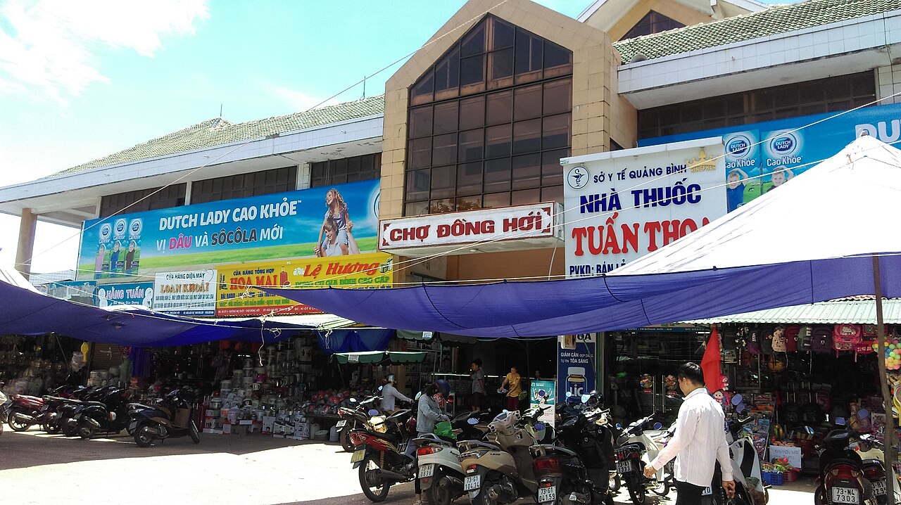
The town was heavily bombed during the American War — more so, proportionally, than almost anywhere else in Vietnam — and that history is legible in the rebuilt streets and in the ruins that were deliberately left standing. It is a working town rather than a resort, with a fish market, a river embankment popular with locals in the evenings, and straightforward accommodation aimed at domestic tourists and travellers heading inland to Phong Nha-Ke Bang.
Key sights
The most photographed ruin in Dong Hoi is the Tam Toa Church, a French-era Catholic church on the riverbank whose walls were destroyed by US air strikes in 1965. The shell was retained after reunification as a war memorial rather than restored, and a newer church stands beside it. The juxtaposition of the scorched masonry with the river view gives the site a particular weight that intact monuments elsewhere do not carry.
The Dong Hoi Citadel dates to the Nguyen dynasty in the early nineteenth century. Most of the fortification was demolished over the following two centuries, but one substantial gate — the Quang Binh Quan — survives and is the most complete piece of pre-modern architecture in the town. A section of the old walls remains alongside it.
The Nhat Le Beach runs for several kilometres and is accessible on foot from the town centre. It is a working beach as much as a leisure one, with fishing boats sharing the shoreline. The water is clear for much of the dry season.
Gateway to Phong Nha
Dong Hoi's primary function for many visitors is as the arrival and departure point for Phong Nha-Ke Bang National Park, which lies roughly 50 km to the northwest. The park contains some of the world's largest cave systems, including Son Doong and Hang En, as well as the better-known and more accessible Paradise Cave and Phong Nha Cave. Organised transport from Dong Hoi to the park operates through guesthouses and tour operators in town; no scheduled public bus runs directly to the cave entrances.
Most guided cave tours depart in the morning, making an overnight stay in Dong Hoi a practical arrangement for travellers arriving by train or plane the previous evening. The town has a range of accommodation, from budget guesthouses near the train station to larger hotels along the beach road.
Getting there
By air: Dong Hoi Airport (VDH) receives domestic flights from Hanoi and Ho Chi Minh City, operated primarily by Vietnam Airlines, Vietjet and Bamboo Airways. Flight availability and frequency change with the season and carrier scheduling; no timetable is reproduced here.
By train: Dong Hoi station sits on the North–South Railway (Hanoi to Ho Chi Minh City) and is served by most express trains on the line. Journey times to Hanoi are in the range of six to nine hours depending on service; southward to Hue takes roughly two to three hours. Train booking in Vietnam can be done through the national rail operator's website or through third-party agents.
By road: National Route 1 passes through the town, and open-tour buses connecting Hanoi and Ho Chi Minh City stop here. The road south towards Quang Tri and Hue passes through the former Demilitarised Zone, a stretch with its own historical significance.
Climate and when to visit
Dong Hoi has a pronounced seasonal pattern driven by monsoon circulation and the funnelling effect of the Truong Son mountain range. The period from February through August is generally dry and warm, with temperatures rising sharply from spring into early summer; June sees the hottest and driest conditions, with a hot, dry wind — the gió Lào — blowing in from Laos across the mountains. This dry season aligns with the recommended window for both beach use and cave visits.
September and October bring intense rainfall, with October typically the wettest month of the year by a considerable margin. Flooding can affect both the town and the roads leading to Phong Nha during this period. November through January remains cool, damp and overcast, with January and February the coldest months. Travellers planning cave or jungle trekking should note that some tours are suspended during peak flooding season. See When to go: weather by region for broader context.
Practical notes
ATMs are available in the town centre; see Money, ATMs and cards for general guidance on cash in Vietnam. Mobile coverage is reliable in the urban area and along the beach road, though it weakens in the karst valleys near Phong Nha. Information on local SIM options is at SIM cards and eSIMs.
Dong Hoi is a quieter, smaller town than Hue or Da Nang, and the common tourist-area scams are less prevalent here. Standard caution applies to motorbike taxi fares and any unsolicited offers of tours at the bus or train station. See Safety and common scams for patterns to be aware of across Vietnam.
Foreign nationals require a valid visa or e-visa to enter Vietnam; the application process is covered at Vietnam e-visa. Nearby destinations worth considering in an itinerary through the region include Hue, Bach Ma National Park and Ha Tinh to the north.
Klima nach Monat
Langzeitdurchschnitte, keine Vorhersage. Referenzzeitraum: 2015–2024. Quelle: ERA5 reanalysis (Copernicus) via the Open-Meteo archive API.
Show the numbers
| Monat | Höchsttemperatur °C | Tief °C | Regen mm | Regentage | Humidity % |
|---|---|---|---|---|---|
| January | 22.1 | 18.1 | 131 | 20 | 86 |
| February | 22.8 | 18.5 | 98 | 16 | 87 |
| March | 26.0 | 21.2 | 74 | 12 | 89 |
| April | 29.3 | 23.5 | 76 | 10 | 84 |
| May | 32.3 | 26.1 | 87 | 13 | 78 |
| June | 34.9 | 27.7 | 66 | 9 | 66 |
| July | 33.2 | 27.0 | 179 | 15 | 71 |
| August | 33.2 | 26.9 | 129 | 14 | 72 |
| September | 30.6 | 25.5 | 376 | 21 | 82 |
| October | 27.4 | 23.5 | 577 | 25 | 85 |
| November | 25.6 | 21.9 | 353 | 24 | 86 |
| December | 22.4 | 18.9 | 268 | 22 | 84 |
Practical notes
Where it is
Also known as / see also
In der Nähe
Referenziert von
Quellen
- ERA5 climate normals — Copernicus / Open-Meteo (CC BY 4.0) abgerufen 30 August 2026
Supports: monthly temperature and rainfall normals, and elevation - Đồng Hới (Q1877) — Wikidata (CC0 1.0) abgerufen 30 August 2026
Supports: coordinates, area, population - Đồng Hới — Wikipedia (CC BY-SA 4.0) abgerufen 30 August 2026
Supports: background
Current Zuletzt geprüft: 31 August 2026. Rules, fares and prices change — check the official source before acting on anything here. Report a mistake.
Picture credits (6)
Chợ Đồng Hới, Quảng Bình, Linhcandng ( thảo luận ), CC BY-SA 3.0, Wikimedia Commons · Công an Đồng Hới, Quảng Bình, Linhcandng ( thảo luận ), CC BY-SA 3.0, Wikimedia Commons · Công viên Tp Đồng Hới, Quảng Bình, Linhcandng ( thảo luận ), CC BY-SA 3.0, Wikimedia Commons · Sân Vận động Đồng Hới 2, Quảng Bình, Linhcandng ( thảo luận ), CC BY-SA 3.0, Wikimedia Commons · Sân Vận động Đồng Hới, Quảng Bình, Linhcandng ( thảo luận ), CC BY-SA 3.0, Wikimedia Commons · Tượng Mẹ Suốt bên sông Nhật Lệ 2, Đồng Hới, Quảng Bình, Linhcandng ( thảo luận ), CC BY-SA 3.0, Wikimedia Commons