The place itself has not changed, and this page continues to cover it.
National Assembly Resolution 202/2025/QH15 on the rearrangement of provincial-level administrative units
Administrative status
Dak Nong existed as a provincial-level administrative unit until 30 June 2025. On 1 July 2025, Vietnam restructured its 63 provinces into 34, abolishing the district tier entirely and moving to a two-tier province/commune system. Dak Nong was merged into Lam Dong, which now governs the entire area.
Nothing on the ground changed on that date. The towns, roads, national park, waterfalls and communities are where they always were. The name Dak Nong continues to be used informally and in travel contexts, and signage throughout the area still carries it. Visitors and residents should simply be aware that official correspondence, registration and administrative services now fall under Lam Dong province.
Landscape and character
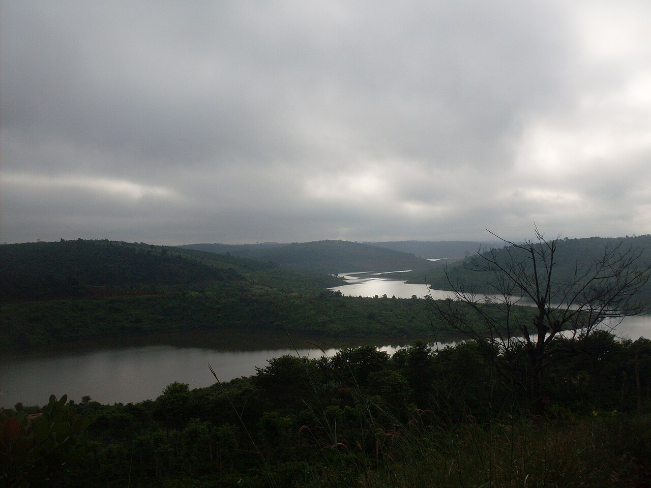
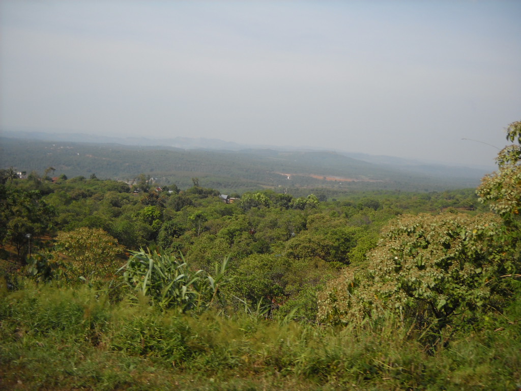
The Dak Nong area occupies a basalt plateau shaped by relatively recent volcanic activity. The terrain is rolling rather than dramatically steep, with elevations that moderate temperatures compared with the lowlands. The volcanic soil underpins dense coffee and pepper cultivation, and the area is one of Vietnam's significant robusta coffee-producing zones.
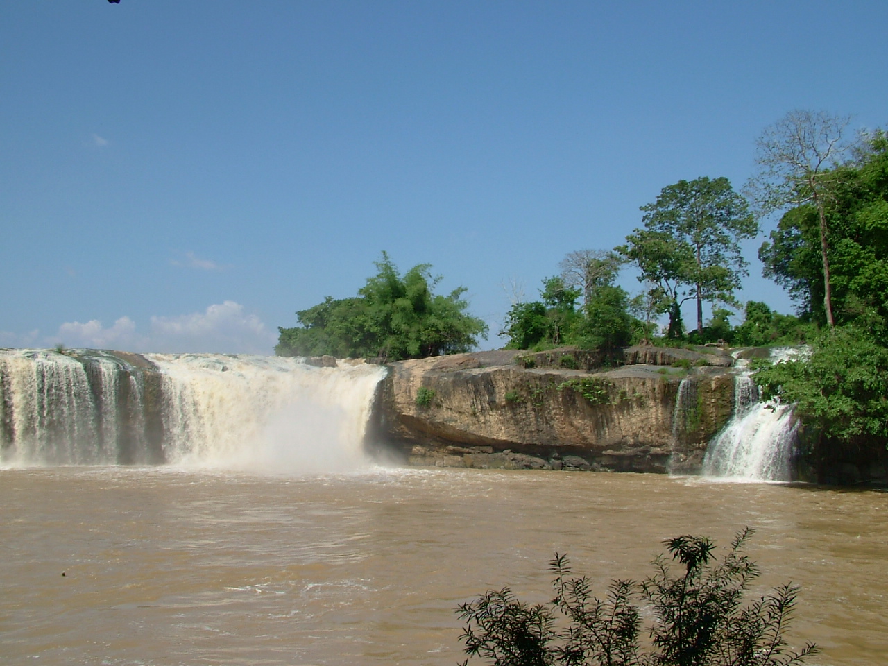
The Dak Nong UNESCO Global Geopark, designated in 2020, is the principal draw for those interested in geology. It encompasses a system of lava tubes — among the longest in Southeast Asia — along with crater lakes and basalt columns. Dray Nur and Dray Sap waterfalls, fed by the Serepok River, are the most visited natural features; both drop over wide basalt ledges, particularly impressive during and after the wet season. Tà Đùng Lake, a large reservoir in the south of the area, has attracted growing attention for its forested islands and relative quiet.
Ethnic minority groups including the M'nông, Ê Đê and Mạ peoples have long inhabited the highlands here, and some villages maintain traditions in weaving, gong performance and rice cultivation in ways that differ from the Kinh majority culture of the lowlands.
Climate and when to visit
The area follows a classic two-season highland pattern. The dry season runs roughly from November through March: temperatures at this elevation are warm by day and noticeably cooler after dark, and rainfall is light, making roads and trails accessible. February and March see the highest daytime peaks before the rains arrive.
The wet season builds through April and May, then delivers heavy and sustained rainfall from June through October, with the wettest months typically falling between July and September. Waterfalls are fuller and more dramatic in the wet season, but dirt tracks can become impassable and lava tube tours may close during peak rain. The plateau rarely feels oppressively hot at any time of year, which distinguishes it from coastal and delta destinations.
Prices vary by season, and accommodation around the geopark and waterfalls is busiest during Vietnamese school holidays in summer and at Tết.
Getting there and around
Gia Nghia (also written Gia Nghĩa), the main town of the former province, is the usual base. It sits on National Route 28 and is reachable by bus from Ho Chi Minh City in several hours, and from Da Lat via winding highland roads. No commercial airport serves the area directly; the nearest are at Buon Ma Thuot to the north and Lien Khuong (serving Da Lat) to the east.
Within the area, distances between the main attractions are significant. The waterfalls at Dray Nur and Dray Sap lie to the north of Gia Nghia near the Dak Lak boundary, while Tà Đùng is to the south. Motorbike hire is common and practical for those comfortable with highland roads. Organised day tours from Gia Nghia cover the geopark lava tubes and the Serepok waterfalls. There is no rail connection.
Things to see and do
- Dak Nong Geopark lava tubes: The most extensive accessible tubes are at Chu Bluk and nearby sites. Guided entry is required; some chambers contain archaeological remains including prehistoric burials.
- Dray Sap and Dray Nur waterfalls: Adjacent falls on the Serepok River, separated by a short walk. Dray Nur is wider; Dray Sap, meaning 'smoky waterfall' in Ê Đê, generates significant mist during high flow.
- Tà Đùng Lake: Boat trips among forested islands; fishing communities remain on the water. The surrounding area includes sections of Tà Đùng National Park.
- Coffee and pepper farms: Several farms near Gia Nghia receive visitors and explain the processing of robusta coffee and black pepper, both major local crops.
- Nâm Nung Nature Reserve: Secondary forest habitat with recorded populations of primates and birds; access is limited and a guide is advisable.
Where to stay
Gia Nghia has the widest range of accommodation, from guesthouses to mid-range hotels, and functions as a practical base for the province's main sites. The town itself is unremarkable but has restaurants, markets and transport connections.
A smaller number of homestays and eco-lodges operate closer to the waterfalls and around Tà Đùng, catering to visitors who prefer to stay near the natural attractions rather than commute from Gia Nghia. These tend to be simpler in facilities but better placed for early-morning visits before day-trip crowds arrive from larger towns. Availability and quality at these smaller properties changes more frequently than in town; checking current options before travel is advisable.
Common misunderstandings
The province no longer exists administratively, but the area and its attractions are unchanged. Some mapping applications and transport booking platforms may still list Dak Nong as a province; this reflects slow data updates, not a mistake about the place.
Visitors sometimes underestimate distances and road conditions. The geopark, the Serepok waterfalls and Tà Đùng Lake are not clustered; combining all three in a single day requires an early start and reliable transport. Dirt sections to some lava tube entrances become difficult after rain.
The lava tubes are not self-guided. Entry without a local guide is restricted, and the cave system is disorienting. Arranging a guide through the geopark management or a Gia Nghia-based operator is the standard approach.
Finally, the area's coffee is almost entirely robusta, not the arabica associated with Da Lat or Son La. The flavour profile is stronger and more bitter than arabica; visitors expecting a lighter cup should ask before ordering.
Khí hậu theo tháng
Số liệu trung bình dài hạn, không phải dự báo. Kỳ tham chiếu: 2015–2024. Nguồn: ERA5 reanalysis (Copernicus) via the Open-Meteo archive API.
Show the numbers
| Tháng | Nhiệt độ cao °C | Thấp °C | Lượng mưa (mm) | Ngày mưa | Humidity % |
|---|---|---|---|---|---|
| January | 28.4 | 17.2 | 17 | 3 | 73 |
| February | 30.5 | 17.2 | 13 | 3 | 68 |
| March | 32.6 | 18.6 | 26 | 6 | 68 |
| April | 32.1 | 20.1 | 74 | 14 | 76 |
| May | 30.4 | 21.1 | 203 | 25 | 85 |
| June | 28.4 | 20.8 | 256 | 28 | 89 |
| July | 27.5 | 20.6 | 343 | 31 | 91 |
| August | 27.8 | 20.8 | 303 | 30 | 90 |
| September | 27.7 | 20.2 | 323 | 29 | 91 |
| October | 27.9 | 19.7 | 255 | 25 | 88 |
| November | 27.9 | 19.3 | 128 | 13 | 84 |
| December | 26.8 | 18.3 | 32 | 6 | 79 |
Hiện là một phần của
Được tham chiếu bởi
Các nguồn
- ERA5 climate normals — Copernicus / Open-Meteo (CC BY 4.0) đã truy cập 30 August 2026
Supports: monthly temperature and rainfall normals, and elevation - Dak Nong (Q36723) — Wikidata (CC0 1.0) đã truy cập 30 August 2026
Supports: coordinates, area, population - Dak Nong — Wikipedia (CC BY-SA 4.0) đã truy cập 30 August 2026
Supports: background
Current Đã xác minh lần cuối: 31 August 2026. Rules, fares and prices change — check the official source before acting on anything here. Report a mistake.
Picture credits (4)
Dak Nong, Viet Nam, TuanUt, CC BY-SA 3.0, Wikimedia Commons · Draysap02, Dotuanhungdaklak at Vietnamese Wikipedia, CC BY-SA 3.0, Wikimedia Commons · Cao nguyên Mơ Nông, Đắk Nông, Dongson.vmvn ( thảo luận ), CC BY-SA 3.0, Wikimedia Commons · Cours de cuisine, Maison Chance Dak Nong, Juan 0293, CC BY-SA 4.0, Wikimedia Commons