The place itself has not changed, and this page continues to cover it.
2025 constitutional amendment and Law on Organisation of Local Government establishing a two-tier local government
Overview
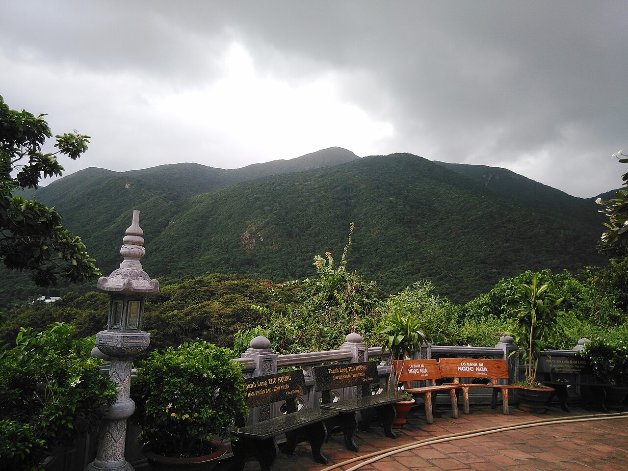
Con Dao (Côn Đảo) is an archipelago of sixteen islands sitting roughly 180 km south of Ho Chi Minh City in the South China Sea. The main island, Côn Sơn, holds almost all accommodation, services and historical sites; the smaller islands are largely uninhabited and protected within Con Dao National Park. The combination of a well-preserved colonial-era prison system, a functioning sea-turtle conservation programme and reefs with limited visitor pressure makes Con Dao distinct from Vietnam's more heavily touristed coastal destinations. Infrastructure remains deliberately restrained: there is no large resort strip, no significant nightlife district, and the road network on the main island is short enough to cover by motorbike in an hour.
Prison history and memorials
The French colonial administration established a penal colony on Côn Sơn in 1862, and the complex expanded under successive administrations until 1975. At its largest it held tens of thousands of political prisoners, including many figures later prominent in the unified Vietnamese state. The prison system is now managed as a museum complex comprising several distinct camps.
The tiger cages — small roofless stone cells in Camp 1 (Trại 1) where prisoners were held in cramped, exposed conditions — drew international attention after American journalists and a congressional delegation visited in 1970. The cells remain intact and are the most visited part of the complex. Interpretive materials on site address both the French and American-era periods, though the framing is that of a Vietnamese state museum and reflects a particular historical perspective.
Hàng Dương Cemetery holds the graves of prisoners who died on the island. The grave of Võ Thị Sáu — a young resistance fighter executed by the French in 1952 and subsequently granted the status of national martyr — draws a steady flow of visitors, including many who come at midnight, a practice associated with the belief that she intercedes for those who pray at her grave late at night. The cemetery is open around the clock and midnight visits are a recognised local custom, not an informal one.
Sea turtles and national park
Con Dao National Park covers both the terrestrial interior of Côn Sơn and the surrounding marine areas. Bảy Cạnh Island, a short boat ride from the main island, is the principal turtle-nesting site and one of the most active green-turtle (Chelonia mydas) nesting beaches remaining in Vietnamese waters. Nesting activity is concentrated between June and September, peaking in July and August.
Watching turtles nest or hatch requires a permit arranged through the national park office; rangers accompany all visits and access to the beach is controlled to limit disturbance. The process involves waiting after dark for nesting females to emerge, and timing is unpredictable. Visits are not guaranteed to produce a sighting. The park's marine protection zones also limit fishing and anchoring in certain areas, which has contributed to reef recovery in some locations.
Diving and beaches
The reefs around Con Dao receive considerably fewer divers than those at Phú Quốc or Nha Trang, and visibility and coral cover are generally reported to be in better condition, though conditions vary by site and season. The main dive season runs from March through September, when seas are calmer on the leeward sides of the islands. Several small dive operators are based in Côn Sơn town.
Beaches on the main island include Đầm Trầu (also called Cow Beach), a long arc of sand backed by hills on the northern side of the island, and Bãi Nhát on the southern coast. Neither has significant commercial development along the shoreline. Currents and surf vary by season and by beach orientation; the western monsoon brings rougher conditions to some beaches from May onward.
Climate and when to visit
Con Dao has a pronounced wet season and a dry season, with the transition between them visible in the monthly rainfall data. The first three months of the year are the driest, with very little rainfall and comfortable temperatures. Rainfall climbs from April onward, rising steeply from May. The heaviest months are September and October, when the island can receive very high rainfall totals and sea conditions are often rough. November and December see rainfall easing but still substantial. Temperatures across the year remain within a narrow band and do not drop to the cool range found in northern Vietnam.
For diving and beach use, March to May offers the most reliable calm-water conditions before the monsoon fully establishes. For turtle watching, June to September is the relevant window but coincides with wetter and occasionally rough conditions. See When to go: weather by region for a broader comparison.
Getting there
Con Dao is reached by two main routes. Flights operate from Ho Chi Minh City (Tân Sơn Nhất) to Côn Sơn airport and take under an hour. The airport is small and the number of daily services is limited; capacity fills quickly during Vietnamese public holidays and the peak dry season. Booking in advance is advisable.
The overnight high-speed ferry departs from Trần Đề port in Sóc Trăng province, reaching Con Dao in roughly twelve hours. A slower cargo-passenger vessel also operates on this route. The ferry is significantly cheaper than flying, carries motorbikes, and suits travellers approaching from the Mekong Delta rather than Ho Chi Minh City. Sea conditions on the crossing can be rough during the monsoon months.
There is no regular ferry connection from Vũng Tàu or other closer ports at present, though this has been proposed at various points. Full transport details and current operator information are on the Getting to Con Dao page.
Practical information
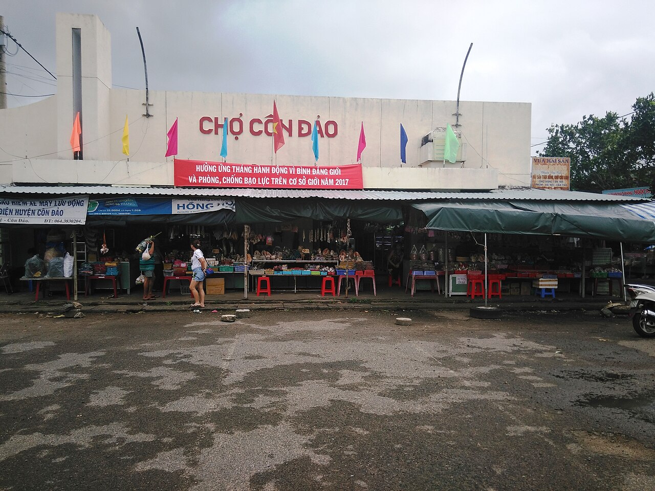
Con Dao sits within Bà Rịa – Vũng Tàu province following Vietnam's July 2025 provincial consolidation. The island has a small town centre — Côn Sơn — with a post office, a small market, a hospital, and a limited number of guesthouses and restaurants. ATM availability is limited; carrying sufficient cash before arriving is prudent. See Money, ATMs and cards for guidance.
Mobile coverage exists on the main island but is patchy in the national park interior and on the smaller islands. SIM cards and eSIMs can be purchased before departure. Foreign nationals require a valid Vietnamese visa or e-visa; see Vietnam e-visa for entry requirements. There are no significant scam patterns unique to Con Dao given its low visitor volume, but general guidance is at Safety and common scams.
Motorbike rental is the standard way to move around the main island. The road that circles the accessible part of the coast is paved and in reasonable condition. There is no public bus service.
Clima per mese
Medie di lungo periodo, non una previsione. Periodo di riferimento: 2015–2024. Fonte: ERA5 reanalysis (Copernicus) via the Open-Meteo archive API.
Show the numbers
| Mese | Massima °C | Min °C | Pioggia mm | Giorni di pioggia | Humidity % |
|---|---|---|---|---|---|
| January | 25.5 | 24.8 | 26 | 4 | 85 |
| February | 25.4 | 24.7 | 6 | 1 | 85 |
| March | 26.7 | 25.8 | 10 | 2 | 83 |
| April | 28.4 | 27.2 | 33 | 6 | 80 |
| May | 29.5 | 27.6 | 151 | 20 | 80 |
| June | 29.1 | 27.2 | 193 | 24 | 80 |
| July | 28.6 | 26.7 | 265 | 26 | 82 |
| August | 28.6 | 26.8 | 237 | 26 | 81 |
| September | 28.5 | 26.6 | 303 | 25 | 82 |
| October | 28.2 | 26.3 | 301 | 26 | 82 |
| November | 27.6 | 26.2 | 257 | 22 | 83 |
| December | 26.5 | 25.6 | 138 | 12 | 83 |
Practical notes
Where it is
Also known as / see also
Nelle vicinanze
Citato da
Fonti
- ERA5 climate normals — Copernicus / Open-Meteo (CC BY 4.0) consultato 30 August 2026
Supports: monthly temperature and rainfall normals, and elevation - Côn Đảo (Q370746) — Wikidata (CC0 1.0) consultato 30 August 2026
Supports: coordinates, area, population - Côn Đảo — Wikipedia (CC BY-SA 4.0) consultato 30 August 2026
Supports: background
Current Ultima verifica: 31 August 2026. Rules, fares and prices change — check the official source before acting on anything here. Report a mistake.
Picture credits (5)
An Sơn Miếu ở Côn Đảo nơi thờ bà Phi Yến, Phương Huy ( thảo luận ), Public domain, Wikimedia Commons · Chùa Vân Sơn ở Côn Đảo (1), Phương Huy ( thảo luận ), Public domain, Wikimedia Commons · Chùa Vân Sơn ở Côn Đảo (2), Phương Huy ( thảo luận ), Public domain, Wikimedia Commons · Chùa Vân Sơn ở Côn Đảo (3), Phương Huy ( thảo luận ), Public domain, Wikimedia Commons · Chợ Côn Đảo (2), Phương Huy ( thảo luận ), Public domain, Wikimedia Commons