Overview and landscape
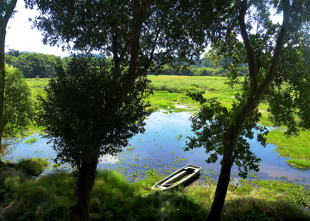
Cat Tien National Park covers around 720 sq km of lowland tropical rainforest straddling parts of Dong Nai and neighbouring provinces in Vietnam's southeast. At roughly 119 metres elevation, it is one of the few remaining large lowland forests in southern Vietnam — a habitat type that has been largely cleared elsewhere for agriculture and development.
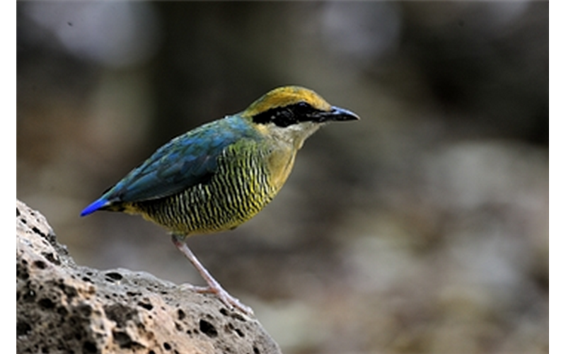
The terrain combines dense dipterocarp and semi-evergreen forest with river floodplains, bamboo groves and a network of streams feeding the Dong Nai River. This variety of microhabitats supports mammals including yellow-cheeked gibbons, sun bears, gaurs, Asian elephants and slow lorises, alongside over 350 recorded bird species. Reptile and amphibian diversity is also high.
The park is a UNESCO Biosphere Reserve and is sometimes grouped with Bù Gia Mập and Tà Đùng as part of a broader conservation corridor, though Cat Tien itself is the best-developed for visitors.
The Javan rhino: an extinction note
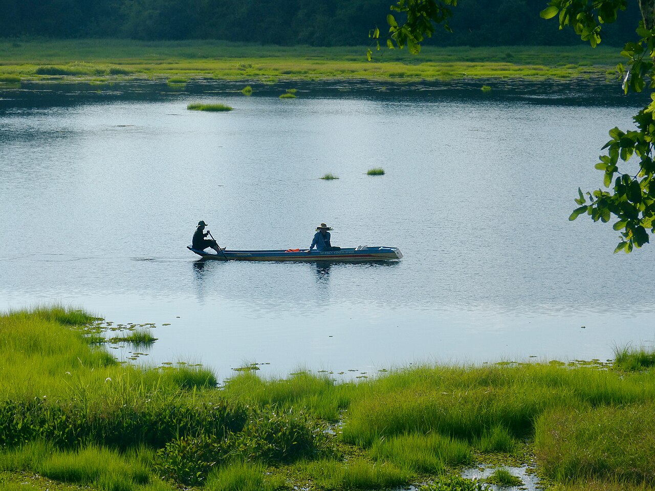
Cat Tien was the last known home of the Javan rhinoceros (Rhinoceros sondaicus annamiticus) on the Asian mainland. A small population persisted in the park for decades after the Vietnam War, surviving in the dense riverine forest near the park's southern sector. The last individual was found dead in 2010, its horn removed by a poacher's bullet. Camera-trap surveys conducted subsequently confirmed no remaining animals.
The Javan rhino's local extinction is widely cited in conservation literature as a cautionary case. The subspecies is now considered extinct, while a separate Javan population survives in Ujung Kulon National Park in Indonesia. Interpretive material within Cat Tien addresses this history, and the park's headquarters area includes displays on the species and on ongoing wildlife monitoring programmes.
Gibbon dawn trek and Dao Tien island
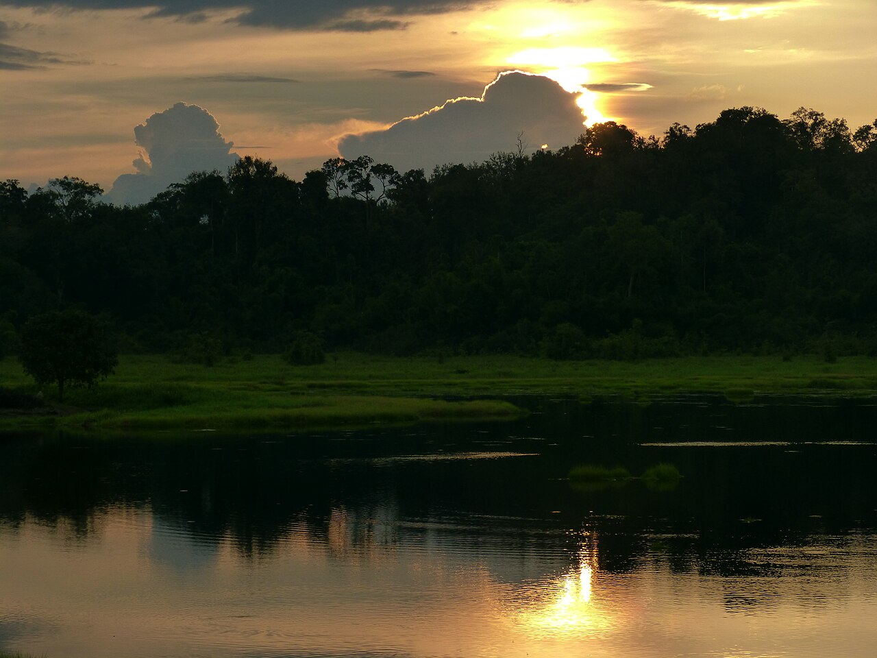
The gibbon dawn trek is the most sought-after wildlife experience in the park. Guides lead small groups into the forest before first light to be in position when yellow-cheeked gibbons begin their morning calling, typically around sunrise. The calls carry clearly through the canopy and sightings, while not guaranteed, are reasonably frequent in the dry season. Places on each departure are strictly limited — the park caps group size to minimise disturbance — and advance booking is necessary, particularly from December through March when demand is highest.
Dao Tien (Tien Island) sits in the Dong Nai River within the park boundary and functions as a rehabilitation centre for primates rescued from the illegal wildlife trade, including gibbons, langurs and slow lorises. Visits are managed by the Dao Tien Endangered Primate Species Centre and run on scheduled boat crossings with a guide. Independent access is not permitted. The centre's work is focused on eventual release into protected habitat rather than permanent captivity.
Night safaris and Crocodile Lake
The park runs organised night safaris by vehicle along internal roads, during which spotlights are used to locate nocturnal mammals such as civets, porcupines, deer and, occasionally, larger predators. These departures are typically arranged through the park's visitor centre or accommodation operators within the park and run for two to three hours after dark.
Crocodile Lake (Bàu Sấu) is a seasonal wetland in the northern part of the park, accessible by a combination of trail and, in the wet season, boat. It is one of the few remaining habitats of the Siamese crocodile in Vietnam, a critically endangered species. The lake also draws large concentrations of waterbirds, and the surrounding grassland-forest edge is productive for mammal sightings. A ranger-accompanied overnight stay in a basic hide near the lake is available for those who arrange it in advance.
Cycling and trekking the park
A network of unpaved roads and trails runs through Cat Tien, and cycling is a practical and popular way to move between zones. Bicycles are available to hire from accommodation inside the park. The roads are largely flat, following river contours, and pass through primary and secondary forest. Early morning rides, before vehicle traffic picks up, offer the best chance of encountering wildlife at the roadside.
Guided trekking routes range from half-day walks near the headquarters area to multi-day itineraries reaching the park's more remote sectors. Independent trekking into core zones is restricted; a ranger or licensed guide is required. Leeches are common on trail throughout the wet season and persist into the early dry months — long socks and appropriate footwear are standard precautions that guides will advise on arrival.
Climate and best time to visit
Cat Tien has a pronounced wet-dry seasonal cycle. From December through March, conditions are hot and dry, with daily maxima in the low-to-mid thirties and very little rain — this is the clearest period for wildlife-watching, as animals concentrate around water sources and vegetation is less dense. April begins a transitional phase as humidity rises and occasional storms arrive.
By May, the full monsoon is establishing, and June through September brings the heaviest rainfall — monthly totals are substantially higher than the dry season, trails become muddy and leech activity peaks. October and November see gradual easing. The park remains open year-round, and the wet season has its own appeal: amphibian activity is high, forest is at its most lush and visitor numbers are lower. When to go: weather by region gives broader seasonal context for southern Vietnam.
Access and practicalities
Cat Tien sits roughly 150 km north of Ho Chi Minh City and around 175 km southwest of Da Lat. The main approach from Ho Chi Minh City centre follows Highway 20 through Dong Nai province towards the junction town of Tân Phú, from where a side road leads to the park gate at Nam Cat Tien. Journey time by road is typically three to four hours depending on traffic leaving the city. Organised day trips from Ho Chi Minh City exist but the distance makes an overnight stay more practical for anyone wanting to do the gibbon trek or night safari. Some travellers combine the park with a stop at Cu Chi Tunnels en route.
Accommodation within the park ranges from dormitory rooms to bungalows operated by the park authority and a small number of private lodge operators. Facilities inside are basic; ATM coverage is absent within the park itself — see Money, ATMs and cards for guidance on carrying cash. Mobile signal is limited in forest areas; SIM cards and eSIMs covers network options. Entry requires a valid visa — see Vietnam e-visa.
Khí hậu theo tháng
Số liệu trung bình dài hạn, không phải dự báo. Kỳ tham chiếu: 2015–2024. Nguồn: ERA5 reanalysis (Copernicus) via the Open-Meteo archive API.
Show the numbers
| Tháng | Nhiệt độ cao °C | Thấp °C | Lượng mưa (mm) | Ngày mưa | Humidity % |
|---|---|---|---|---|---|
| January | 31.7 | 20.4 | 24 | 4 | 69 |
| February | 33.7 | 20.6 | 14 | 3 | 63 |
| March | 34.8 | 22.0 | 21 | 4 | 65 |
| April | 34.4 | 23.6 | 80 | 13 | 72 |
| May | 32.5 | 24.1 | 231 | 25 | 83 |
| June | 30.1 | 23.4 | 347 | 28 | 90 |
| July | 29.3 | 23.1 | 483 | 30 | 91 |
| August | 29.6 | 23.1 | 454 | 31 | 91 |
| September | 29.3 | 22.8 | 452 | 29 | 91 |
| October | 29.5 | 22.3 | 336 | 27 | 90 |
| November | 29.9 | 21.6 | 158 | 18 | 86 |
| December | 30.1 | 20.7 | 60 | 9 | 78 |
Practical notes
Where it is
Also known as / see also
Lân cận
Được tham chiếu bởi
Các nguồn
- ERA5 climate normals — Copernicus / Open-Meteo (CC BY 4.0) đã truy cập 30 August 2026
Supports: monthly temperature and rainfall normals, and elevation - Vietnam National Authority of Tourism — VNAT đã truy cập 29 August 2026
Supports: the rules and definitions on this page - Cát Tiên National Park — Wikipedia (CC BY-SA 4.0) đã truy cập 31 August 2026
Supports: background - Vườn quốc gia Cát Tiên — Wikipedia (Vietnamese) (CC BY-SA 4.0) đã truy cập 31 August 2026
Supports: background, Vietnamese edition
Current Đã xác minh lần cuối: 31 August 2026. Rules, fares and prices change — check the official source before acting on anything here. Report a mistake.
Picture credits (5)
Vietnam Birding Tours - Vietnam wildlife Tours Cat Tien National Park, vietnambirdingtours.com, CC0, Wikimedia Commons · Cat Tien Nat Park B 2021-11-06 by 1April1950, 1April1950, CC BY-SA 4.0, Wikimedia Commons · Cat Tien Nat Park C 2021-11-06 by 1April1950, 1April1950, CC BY-SA 4.0, Wikimedia Commons · Cat Tien Nat Park D 2021-11-06 by 1April1950, 1April1950, CC BY-SA 4.0, Wikimedia Commons · Macrobrochis gigas, Cat Tien National Park, Dotrihieu, CC BY-SA 4.0, Wikimedia Commons