National Assembly Resolution 202/2025/QH15 on the rearrangement of provincial-level administrative units
Administrative status
On 1 July 2025 Vietnam reorganised its provincial-level units from 63 to 34. Can Tho municipality was formed by merging the former Can Tho municipality with the former provinces of Hau Giang and Soc Trang. The district tier was abolished at the same time; the unit now operates as a two-tier system of municipality and commune.
The physical places within the territory — its rivers, markets, pagodas and towns — have not moved or been renamed as a result of this change. The urban core that most visitors know is the former Can Tho city, covered in detail on the Can Tho city page.
Geography and character
Can Tho municipality occupies a broad section of the Mekong Delta, lying almost entirely below 5 metres of elevation. The Hau River (one of the two main Mekong distributaries) bisects the territory, and a dense web of canals connects it in every direction. The landscape is dominated by paddy fields, fruit orchards — longan, durian, pomelo and rambutan are all grown here — and catfish and shrimp ponds. The former Can Tho city remains the region's largest urban centre, while the former Hau Giang and Soc Trang areas to the south and east are predominantly agricultural and home to a significant Khmer Krom population, reflected in the density of Theravada pagodas across the southern part of the municipality.
Neighbours include Vinh Long to the north, Dong Thap to the north-west, An Giang to the west and the coast to the south-east.
Climate and when to visit
Can Tho has a tropical wet-dry climate with negligible elevation. Temperatures remain warm year-round, peaking in March and April before the rains arrive; minimums rarely fall below 22 °C even in the coolest months of December and January.
Rainfall follows a pronounced seasonal pattern. The dry season runs roughly from December through April, with February the driest month. Rain begins building in April, rises sharply through May and June, and reaches its heaviest from July to October — September and October are the wettest months. November marks the retreat of the rains. Flooding of low-lying canals and fields is normal from August onward and recedes by November.
For travel, the dry season offers easier road and boat access and is the period when floating markets are most active. The flood season brings its own character — inundated fields, fishing activity and cooler afternoon temperatures — but some smaller roads and boat routes may be disrupted. See When to go: weather by region for broader context.
Getting there and around
Can Tho International Airport, in the former Can Tho city, receives domestic flights from Hanoi and Da Nang as well as some international routes; schedules change seasonally and should be verified directly with carriers. The airport is the main gateway for those coming from outside the delta.
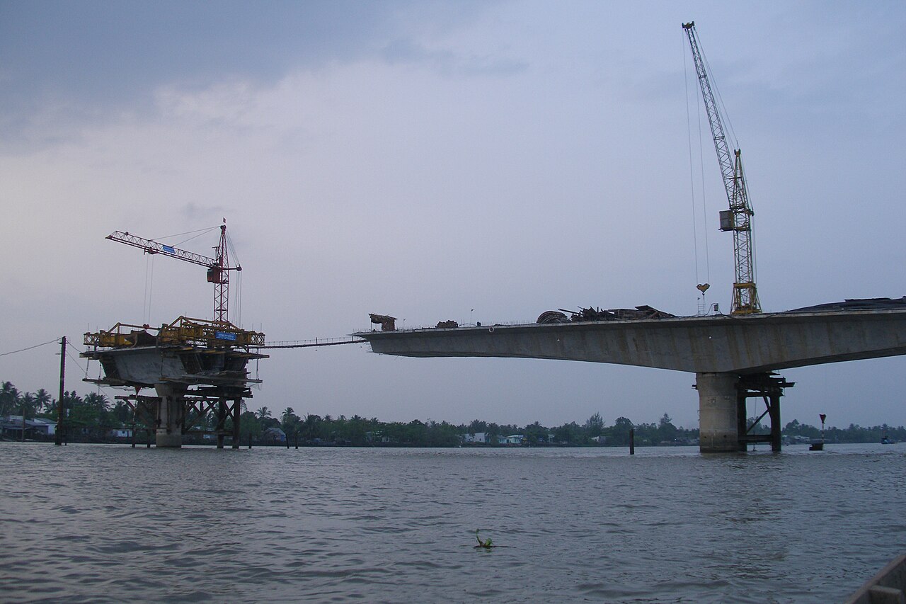
From Ho Chi Minh City, the most common approach is by road via the Cao Lanh and Vam Cong bridges or the older My Thuan–Can Tho route; express bus services operate frequently and journey times depend on traffic and bridge crossings. A high-speed ferry from Ho Chi Minh City's Bach Dang pier has operated in recent years, though services are subject to scheduling changes.
Within the municipality, travel by road is standard for longer distances. Local boat hire and public ferry crossings remain the practical way to reach river islands and many canal-side settlements. Motorbike rental is widely available in the urban core for independent exploration. Ride-hailing apps common in Vietnamese cities function in the urban areas.
Things to see and do
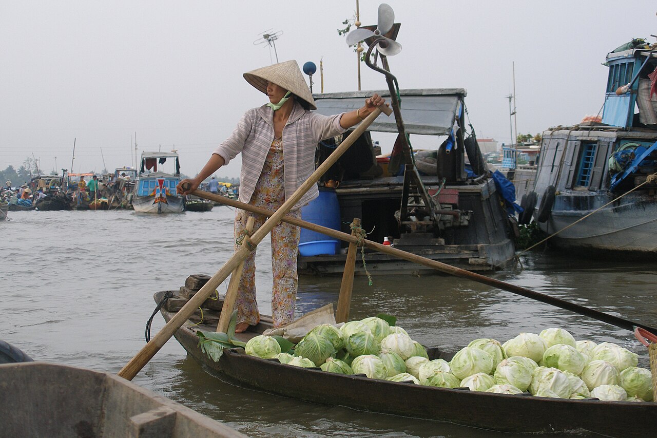
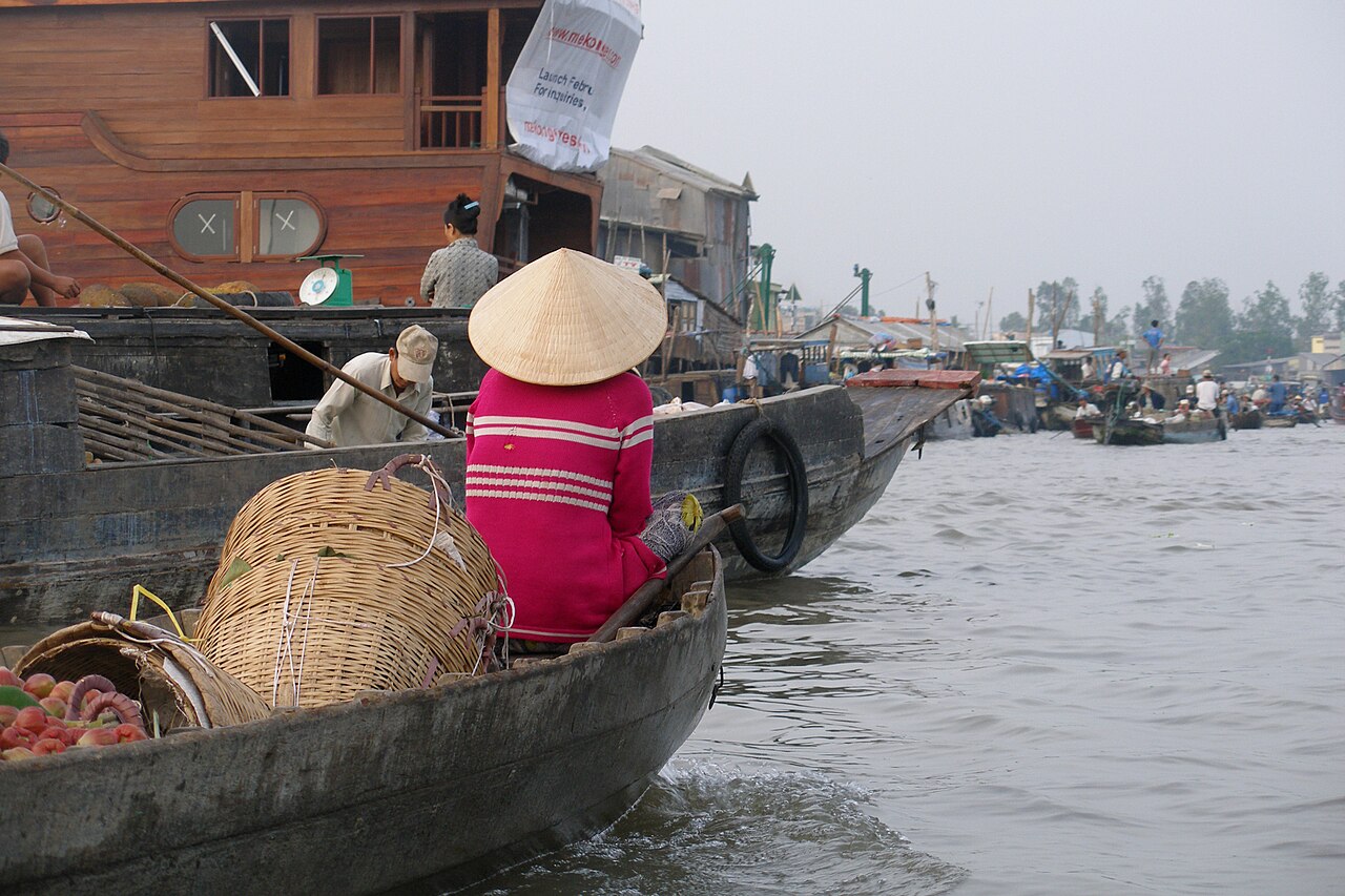
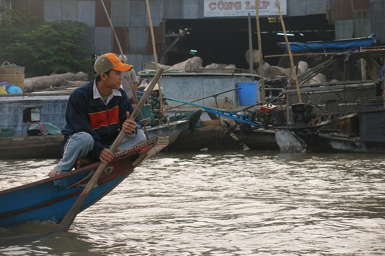
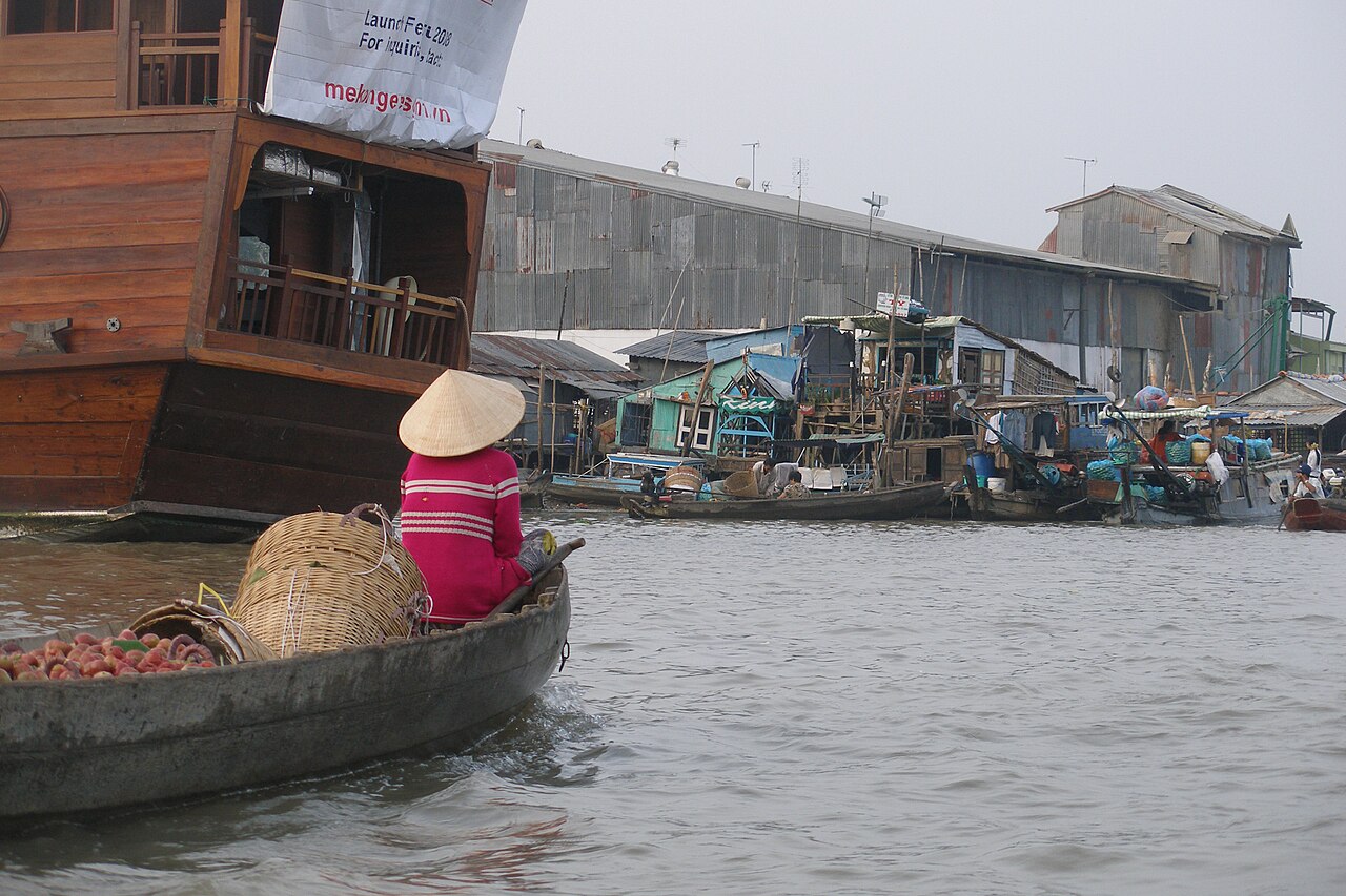
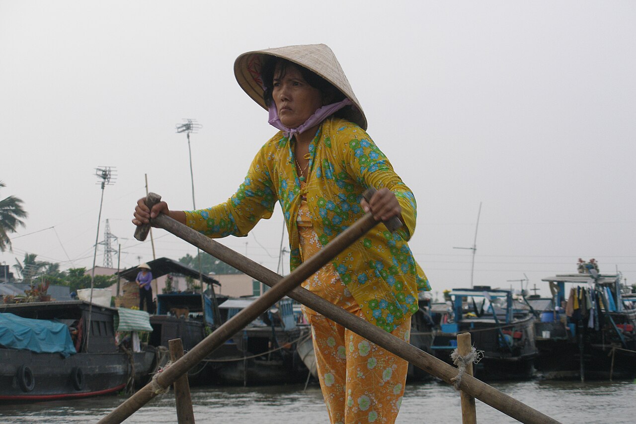
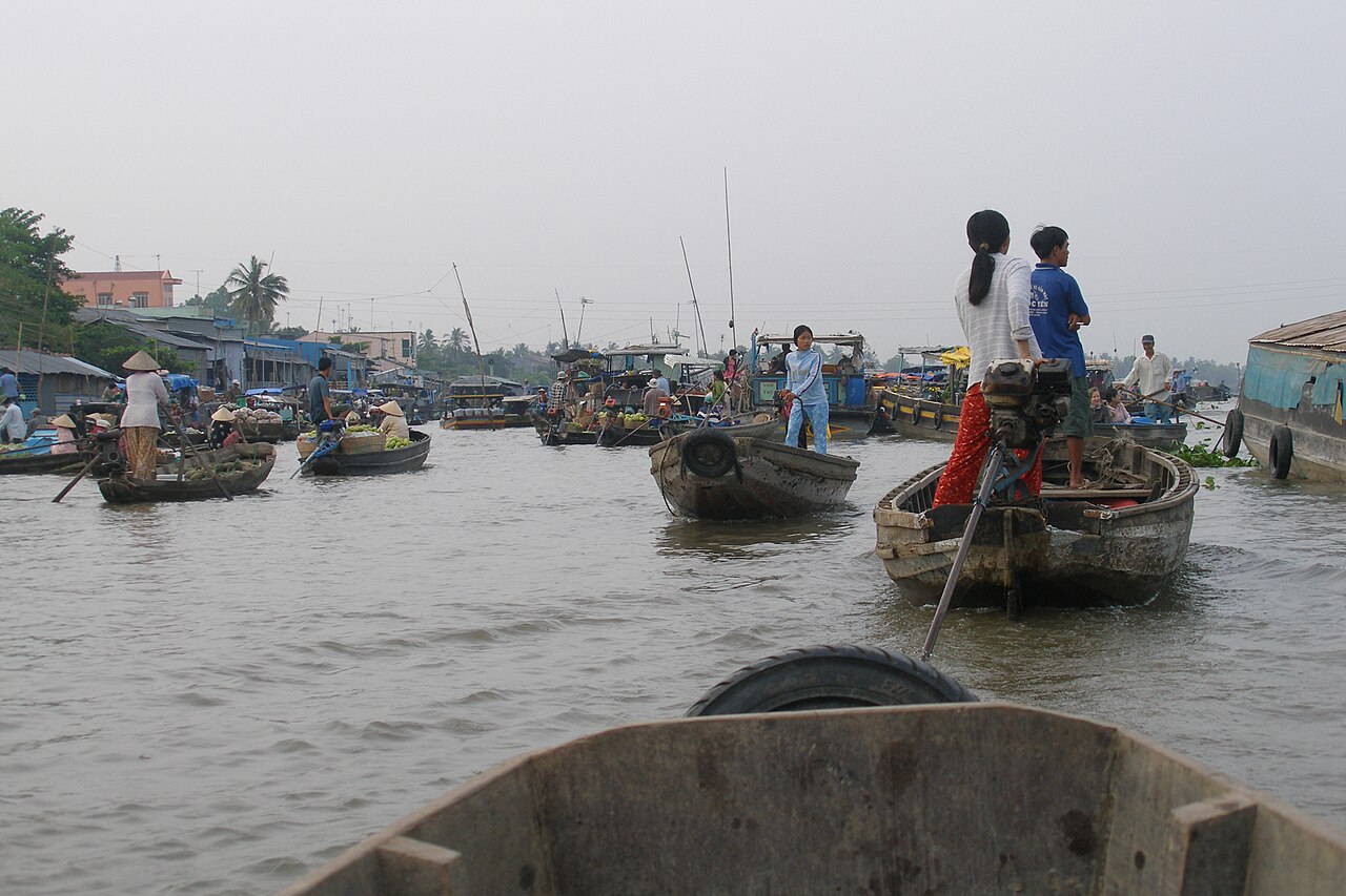
The floating markets are the feature most associated with Can Tho. Cai Rang market, a few kilometres south of the urban core, is the largest wholesale floating market in the delta; it operates in the early morning and trades primarily in fruit and vegetables, with vendors advertising their stock by hanging samples from bamboo poles — a practice called cây bẹo. Phong Dien market is smaller and retains more of a retail character. Both are most active before sunrise.
The former Soc Trang area, now part of the municipality's south-eastern zone, holds notable Khmer Krom temples including Doi Pagoda (Chùa Dơi), known for its colony of large fruit bats, and Kh'leang Pagoda, one of the oldest in the region. The Soc Trang Khmer Museum documents the culture of the local Khmer community.
Tram Chim National Park lies to the north in Dong Thap and is accessible as a day trip. Orchards on the islands of the Hau River offer seasonal fruit-tasting visits. The municipality's extensive canal network is navigable by hired boat for those wishing to explore village life away from the main tourist routes.
For broader delta context see Mekong Delta.
Food
The municipality sits within a distinct culinary zone shaped by Kinh, Khmer and Hoa (ethnic Chinese) traditions. Bún mắm — a thick, pungent noodle soup made with fermented fish paste and typically served with pork, prawns and eggplant — is closely associated with Soc Trang and the southern delta. Bánh pía, a flaky pastry filled with mung bean and salted egg yolk, is a Soc Trang specialty with Teochew Chinese origins and is sold across the municipality as a packaged souvenir food.
Hu tieu Nam Vang (Phnom Penh-style noodle soup) reflects the Khmer-Chinese connections of the region. River fish — snakehead, elephant ear fish (cá tai tượng) — appear across local menus, often grilled or steamed and wrapped at the table in rice paper with local herbs. Fresh tropical fruit, much of it grown within the municipality, is available at markets year-round. For broader culinary context see Southern Vietnamese cuisine.
Practical notes and common mistakes
First-time visitors sometimes arrive at the floating markets too late. Both Cai Rang and Phong Dien are largely finished by mid-morning; departure before dawn from the urban core is standard practice.
The municipality is large and its southern sections — the former Hau Giang and Soc Trang areas — are substantially further from the urban core than a map glance suggests. Roads are flat but travel times on rural routes can be longer than expected, particularly during the wet season when some canal-side tracks flood.
ATMs are common in the urban core but sparse in smaller communes. See Money, ATMs and cards before travelling into rural areas. Foreign visitors require a valid visa or visa exemption; see Vietnam e-visa. Local SIM cards are available at the airport and in the urban core — see SIM cards and eSIMs. Tourist-oriented boat trips occasionally involve pressure to purchase goods or visit commission-paying shops; Safety and common scams covers patterns to be aware of.
Clima per mese
Medie di lungo periodo, non una previsione. Periodo di riferimento: 2015–2024. Fonte: ERA5 reanalysis (Copernicus) via the Open-Meteo archive API.
Show the numbers
| Mese | Massima °C | Min °C | Pioggia mm | Giorni di pioggia | Humidity % |
|---|---|---|---|---|---|
| January | 30.3 | 22.5 | 39 | 6 | 76 |
| February | 31.8 | 22.6 | 15 | 2 | 71 |
| March | 33.8 | 23.9 | 36 | 4 | 69 |
| April | 34.1 | 25.0 | 85 | 13 | 73 |
| May | 32.7 | 25.6 | 202 | 25 | 81 |
| June | 30.8 | 25.1 | 237 | 27 | 86 |
| July | 30.2 | 24.7 | 299 | 29 | 86 |
| August | 30.5 | 24.8 | 263 | 29 | 85 |
| September | 30.4 | 24.5 | 325 | 29 | 86 |
| October | 30.7 | 24.1 | 337 | 28 | 86 |
| November | 30.9 | 23.8 | 168 | 22 | 83 |
| December | 30.0 | 23.0 | 79 | 11 | 78 |
Places within Can Tho
Where it is
Also known as / see also
Nelle vicinanze
Assorbito
Citato da
Fonti
- ERA5 climate normals — Copernicus / Open-Meteo (CC BY 4.0) consultato 30 August 2026
Supports: monthly temperature and rainfall normals, and elevation - Can Tho (Q216075) — Wikidata (CC0 1.0) consultato 30 August 2026
Supports: coordinates, area, population - Can Tho — Wikipedia (CC BY-SA 4.0) consultato 30 August 2026
Supports: background
Current Ultima verifica: 31 August 2026. Rules, fares and prices change — check the official source before acting on anything here. Report a mistake.
Picture credits (7)
Can Tho, Vietnam, Floating Market, Sale, Vyacheslav Argenberg, CC BY 4.0, Wikimedia Commons · Can Tho, Vietnam, Floating Market, Vyacheslav Argenberg, CC BY 4.0, Wikimedia Commons · Can Tho, Vietnam, Floating market, Early morning, Vyacheslav Argenberg, CC BY 4.0, Wikimedia Commons · Can Tho, Vietnam, Bridge, Vyacheslav Argenberg, CC BY 4.0, Wikimedia Commons · Can Tho, Vietnam, Floating Market 2, Vyacheslav Argenberg, CC BY 4.0, Wikimedia Commons · Can Tho, Vietnam, Floating Market, Rawing 3, Vyacheslav Argenberg, CC BY 4.0, Wikimedia Commons · Can Tho, Vietnam, Floating Market, Boats, Vyacheslav Argenberg, CC BY 4.0, Wikimedia Commons