2025 constitutional amendment and Law on Organisation of Local Government establishing a two-tier local government
Administrative status
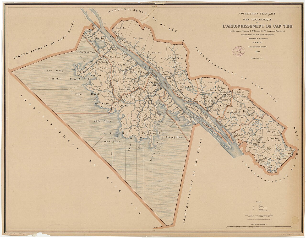
Until 30 June 2025, Cần Thơ was a centrally administered provincial city — one of five municipalities in Vietnam with status equivalent to a province. On 1 July 2025, Vietnam restructured its administrative system from 63 provincial-level units to 34, abolishing the district tier and moving to a two-tier province/commune system. Cần Thơ as a standalone administrative unit ceased to exist under this reorganisation and its territory was absorbed into a new or enlarged provincial arrangement. The district tier — which previously included units such as Ninh Kiều, Bình Thuỷ and Cái Răng — no longer exists as a formal administrative category.
The place itself has not changed. The city, its streets, its markets and its river remain as they were. Travellers and residents can continue to refer to Cần Thơ by name without confusion; only the formal administrative boundaries and governing structures are different.
Character and setting
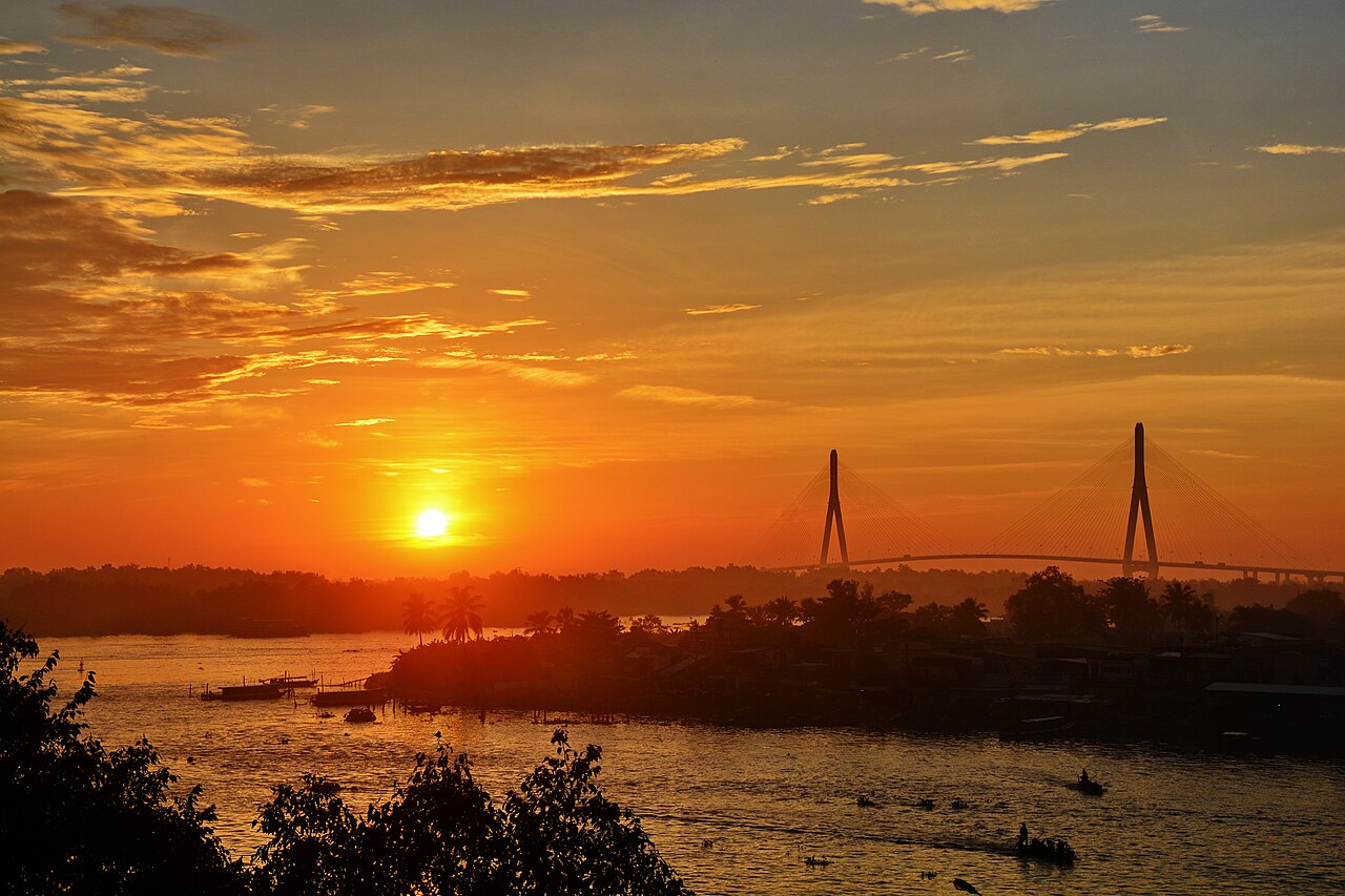
Cần Thơ occupies a position where several branches of the Mekong fan out toward the sea, making it a natural crossroads for water-borne trade and movement. The urban core along the Hậu River waterfront — historically centred on the Ninh Kiều area — has long been the social and commercial heart of the city, with a riverside promenade, market halls and ferry landings concentrated here.
Beyond the central riverfront, the city spreads into districts of lower-rise housing, rice warehouses, processing plants and orchards. Cần Thơ University, one of the largest universities in southern Vietnam, gives the city a student population that shapes its café culture and street-food scene. The combination of river trade, agriculture, education and regional administration distinguishes Cần Thơ from smaller delta towns.
Floating markets and waterways
Cần Thơ's floating markets are among the most frequently cited reasons visitors travel to the city. Cái Răng, roughly six kilometres from the central waterfront, is the largest wholesale floating market in the delta, operating in the early morning hours when boats laden with produce — dragon fruit, watermelon, pineapple, durian — cluster on the river. Traders hang a sample of their goods from a tall pole at the bow, a practice known as bẹo hàng, so buyers can identify what is for sale from a distance.
Smaller, more local markets such as Phong Điền to the south-west operate on narrower canals and attract fewer tour groups. Canal boat journeys through the surrounding countryside pass through orchards, brick kilns and rice paddies. Cái Răng's character has shifted over the decades as road transport has replaced river trade for many goods, and the market is now considerably smaller than it was in the 1990s; this is worth knowing for those expecting a scene unchanged from older photographs.
Getting there and around
By air: Cần Thơ International Airport receives domestic flights from Hanoi and Da Nang, as well as some international services. Flight frequency and routes change seasonally.
By road: The expressway connecting Cần Thơ to Ho Chi Minh City has significantly reduced overland journey times compared with the older national highway. Bus services operate frequently between the two cities, and the route is also covered by open-tour and limousine-style coaches. Travel onward to other delta cities — Cà Mau, Rạch Giá, Long Xuyên — is possible by both road and, on some routes, by express boat.
By river: High-speed passenger boats connect Cần Thơ with several other delta towns. Journey times and schedules vary.
Within the city: Motorbike taxis, ride-hailing apps and bicycle rentals are the main ways to move around the urban core. Hiring a small boat or joining a group canal tour is the standard way to reach the floating markets and surrounding waterways.
When to visit
Cần Thơ has a tropical climate with two broadly defined seasons. The dry season, running roughly from November to April, brings lower humidity, less rain and more reliable conditions for canal and river travel. Skies are clearer in the early morning, which matters for visiting floating markets at dawn.
The wet season, from May to October, brings heavy afternoon rains and occasional flooding along lower-lying canals. The delta landscape becomes intensely green during this period, and water levels rise enough that some areas accessible only on foot in the dry season can be reached by small boat. Annual flood peaks, historically arriving in September and October, can disrupt travel on smaller waterways. The city itself rarely floods severely at its centre, though surrounding rural areas may be affected.
Food
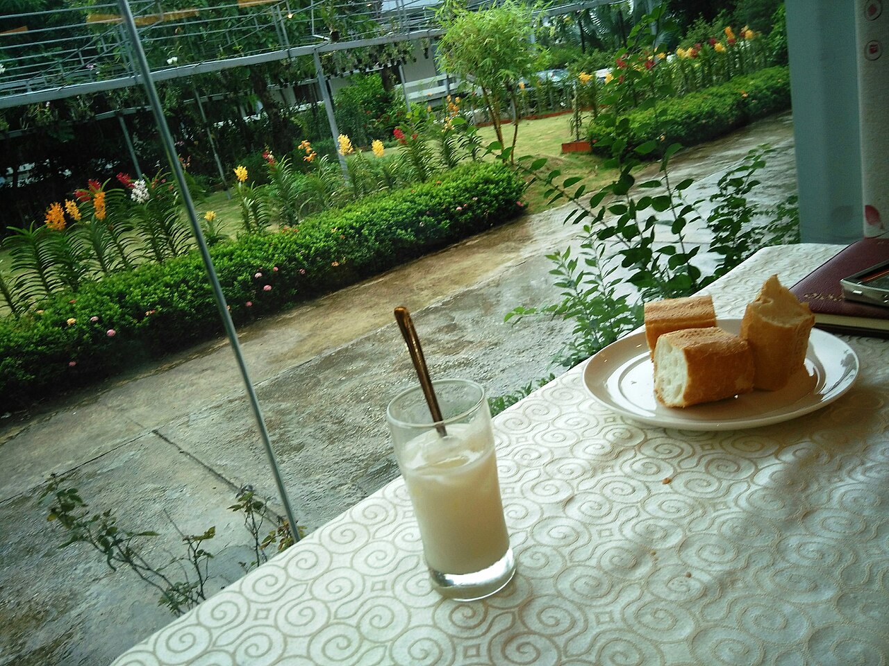
Cần Thơ's food reflects the agricultural abundance of the delta. Bánh xèo — a sizzling rice-flour crêpe filled with pork, shrimp and bean sprouts, eaten wrapped in lettuce and herbs — is closely associated with the city and the wider delta region, though the delta version tends to be smaller and crisper than versions found further north. Bún mắm, a fermented fish noodle soup with pork, prawns and eggplant, is considered a delta specialty. Freshwater fish, frog and eel appear across menus in forms that differ from what travellers may have encountered in Ho Chi Minh City.
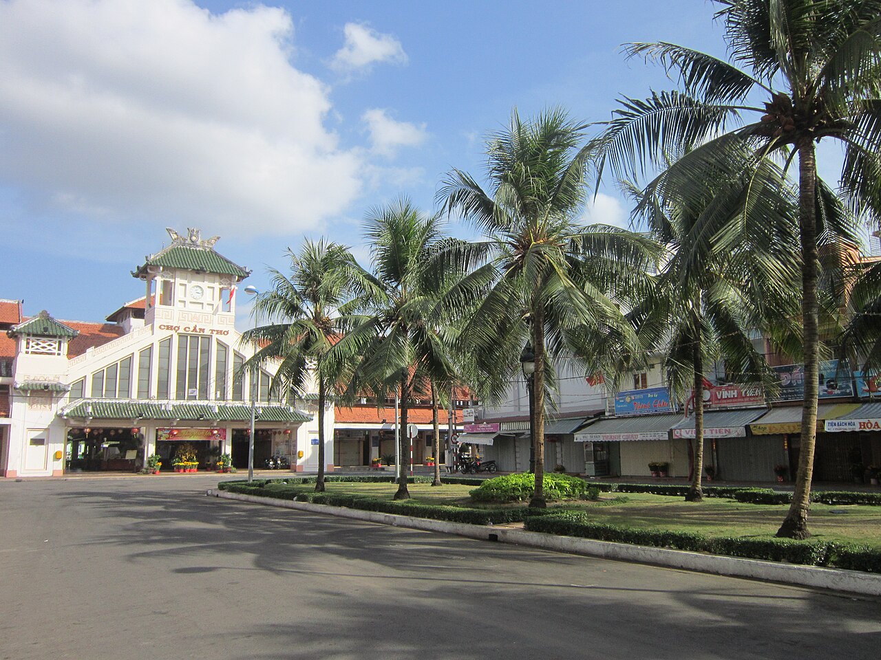
The riverside night market near Ninh Kiều draws both locals and visitors for grilled seafood and street snacks. Cần Thơ's market halls — including Cần Thơ Market on the waterfront — sell fresh produce, dried goods and prepared food across different sections throughout the day.
Common misunderstandings
First-time visitors frequently arrive expecting Cái Răng floating market to be at its peak mid-morning, when in practice the most active trading takes place between roughly 05:00 and 07:00. Arriving after 08:00 means seeing the market wind down rather than operate at full intensity.
Some travellers treat Cần Thơ as a half-day stop rather than a base, missing the canal villages and orchard areas that require a full day or an overnight stay to reach comfortably. The city also has a functioning university and commercial centre that rewards wandering beyond the immediate waterfront tourist zone.
On the administrative question: the disappearance of Cần Thơ as a named administrative unit on maps and official documents after mid-2025 does not mean the city has merged with another city or been renamed. It remains Cần Thơ. The change is bureaucratic rather than geographic.
Where it is
Also known as / see also
Bronnen
- Vietnam National Authority of Tourism — VNAT geraadpleegd 29 August 2026
Supports: the rules and definitions on this page - Cần Thơ (Q11840144) — Wikidata (CC0 1.0) geraadpleegd 30 August 2026
Supports: coordinates, area, population - Cần Thơ — Wikipedia (CC BY-SA 4.0) geraadpleegd 31 August 2026
Supports: background - Cần Thơ — Wikipedia (Vietnamese) (CC BY-SA 4.0) geraadpleegd 31 August 2026
Supports: background, Vietnamese edition
Current Laatst geverifieerd: 31 August 2026. Rules, fares and prices change — check the official source before acting on anything here. Report a mistake.
Picture credits (4)
Arrondissement of Cần Thơ in 1890, Bertaux (18..-18.. ; géomètre). Cartographe; Geisendörfer, J. (18..-19..? ; graveur).…, Public domain, Wikimedia Commons · Bữa ăn sáng ở một khách sạn tại Cần Thơ, n6 th7n2016 (4), Phương Huy, CC BY-SA 4.0, Wikimedia Commons · Chợ Cần Thơ (cũ), Bùi Thụy Đào Nguyên, CC BY-SA 3.0, Wikimedia Commons · trungydang, CC BY 3.0, Wikimedia Commons