The city and its place in the delta
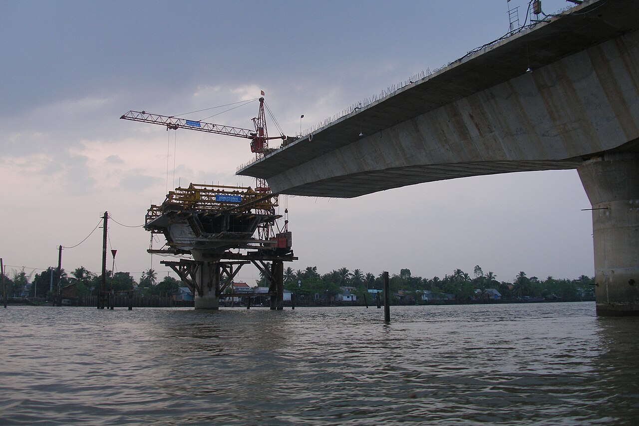
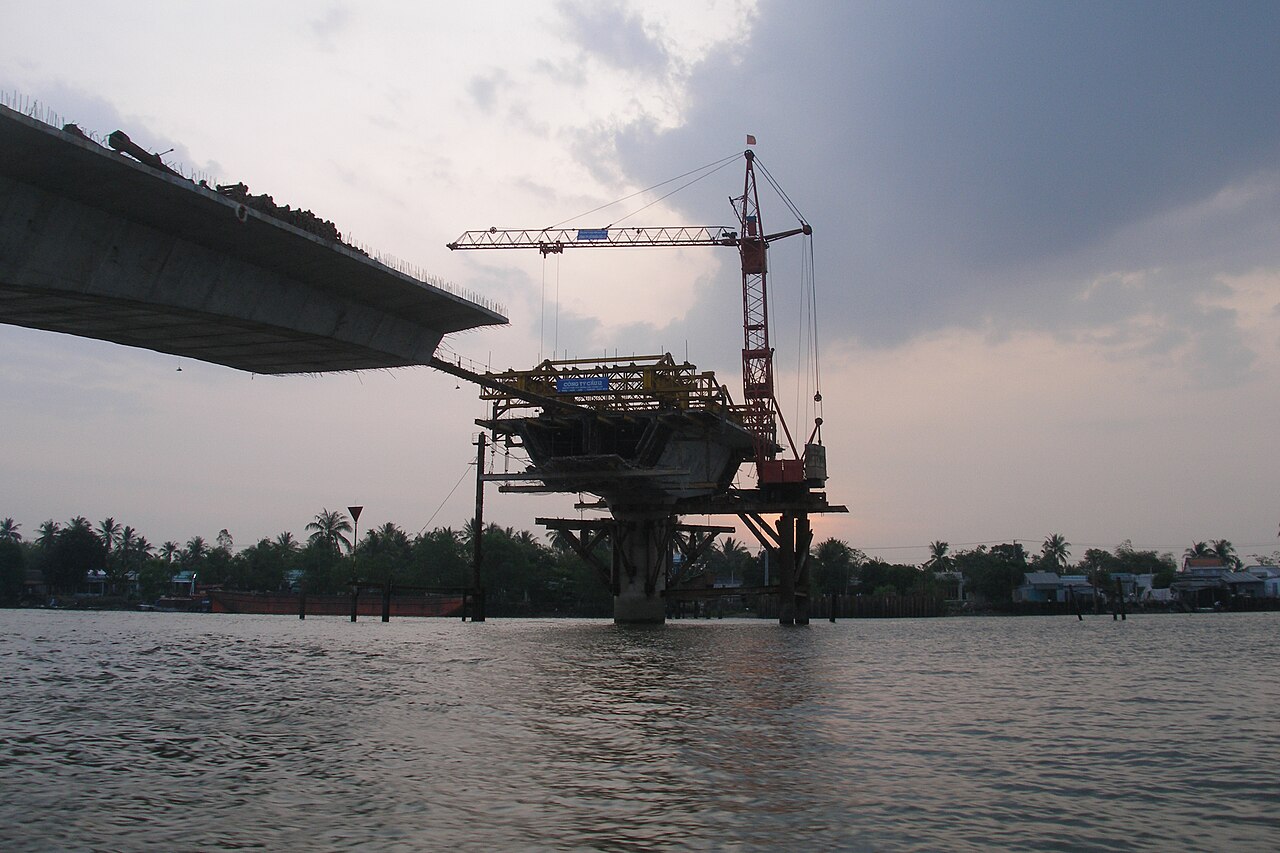
Can Tho occupies both banks of the Hau River (one of the Mekong's two main distributaries) roughly 170 km south-west of Ho Chi Minh City. At just 4 metres above sea level, the land is almost entirely flat, veined with canals and prone to seasonal flooding between July and November. The city centre clusters around Ninh Kieu quay, where river ferries, tourist boats and cargo craft share a broad stretch of water overlooked by a riverside promenade and a statue of Hồ Chí Minh.
Following Vietnam's 2025 provincial consolidation, Can Tho now formally encompasses territory that was previously administered as separate provinces. Travellers arriving from Hau Giang or Soc Trang will find those areas administratively integrated into Can Tho, though their landscapes, dialect shadings and local identities remain distinct. Can Tho functions as the delta's commercial and logistical capital, with road links fanning out toward An Giang, Dong Thap, Vinh Long and Ben Tre.
Cai Rang floating market
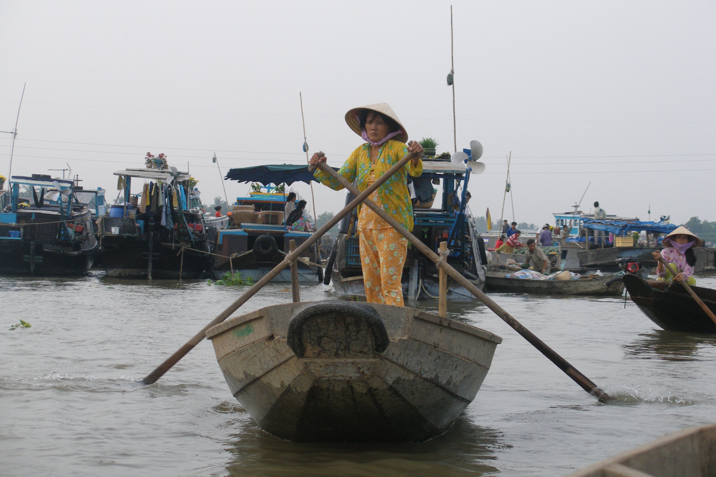
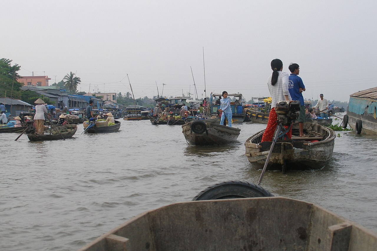
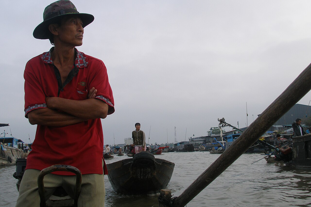
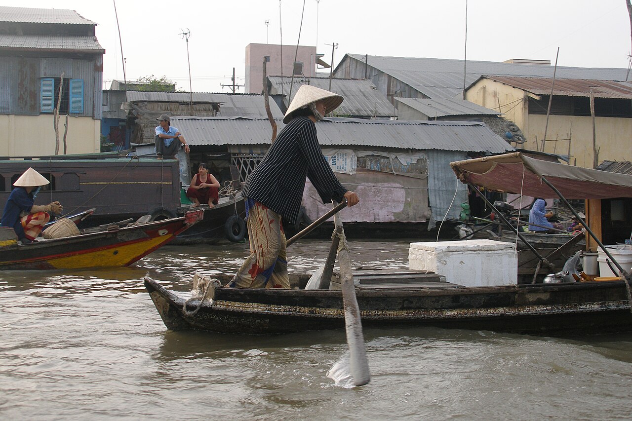
Cai Rang is the largest floating market remaining in the Mekong Delta, located on the Cai Rang River about 6 km south-west of Ninh Kieu quay. Wholesale traders tie up their ghe (wooden boats) loaded with watermelons, pineapples, pomelos, squash and other produce, advertising their goods by hanging a sample on a tall pole — a practice called cây bẹo. Retail sellers in smaller craft weave between the wholesalers, and floating kitchens offer bowls of hủ tiếu and coffee.
The market is most active between roughly 5 and 8 in the morning. Arriving before dawn by hired boat from Ninh Kieu is the standard approach; the journey itself crosses residential canal traffic and gives a sense of how the waterway system functions as a working road network.
An honest account of its condition: Cai Rang has contracted significantly since the 1990s. Better roads, refrigerated trucks and supermarket supply chains have shifted wholesale trade off the water. What remains is a genuine, working market — not a performance — but smaller and more tourism-oriented than photographs from two decades ago suggest. Weekday mornings see more authentic commercial activity; weekends attract more tourist boats.
Phong Dien and smaller markets
Phong Dien floating market, about 20 km south of the city centre by road or roughly an hour by boat along the canal network, operates on a smaller scale than Cai Rang and has fewer tourist boats. Trading peaks before 7 am. The surrounding area is orchard country — durian, rambutan, longan and mangosteen gardens line the canal banks — and the journey between Phong Dien and Cai Rang by hired boat passes through narrow waterways lined with water hyacinth and stilted houses.
Phong Dien is sometimes cited as a less-visited alternative to Cai Rang, though it too has seen market activity decrease as road transport has improved. The canal scenery along the route is the primary draw for many visitors who combine both markets in a single morning trip.
Ninh Kieu quay and the city centre
Ninh Kieu quay is the functional and social centre of Can Tho's riverside. The waterfront hosts a night market most evenings, a row of travel agencies offering boat hire, and the embarkation point for most market tours. Bình Thủy district, a short ride from the centre, contains Bình Thủy Ancient House (Nhà Cổ Bình Thủy), a French colonial-period merchant's residence that has featured in several Vietnamese films, and Bình Thủy Communal House, known locally for its carved woodwork.
The city centre itself is a working provincial capital with department stores, wet markets, universities and hospitals. Tây Đô Market (Chợ Tây Đô) is a large covered market selling fresh produce, dried goods and household items that serves local residents rather than tourists.
The islets: cycling and homestays
Several river islands (cồn) are accessible from Ninh Kieu quay by short ferry crossing. Cồn Sơn and Cồn Ấu are the most visited, and both have families offering homestay accommodation. Cồn Sơn in particular has developed a network of orchard homestays where guests can wander between fruit gardens, cross small plank bridges over irrigation ditches and observe how tropical fruit is grown and harvested at small family scale.
Cycling is practical on most of the islets because the lanes are flat, narrow and largely free of motor traffic. The fruit gardens produce longan, jackfruit and various citrus varieties depending on the season. This is distinct from the boat-focused tourism of the markets: it is slower and more suited to those spending more than one night in Can Tho.
Climate and when to visit
Can Tho has a tropical monsoon climate with a dry season and a wet season; there is no cool season to speak of, as temperatures remain high year-round. The year begins warm and relatively dry, with the hottest and driest months falling in February through April. From May, rainfall increases sharply and continues rising through the middle of the year, with the heaviest rains falling between July and October. September and October bring the peak of the monsoon, and canal levels can rise noticeably. November marks a gradual retreat of the rains. From December through March conditions are drier and somewhat less humid, making this period more comfortable for boat travel and outdoor activity.
The floating markets operate year-round regardless of season, always starting before dawn. Heavy rain during the wet season does not stop market activity, though it makes the boat journey less comfortable. For detail on regional weather patterns, see When to go: weather by region.
Getting there and practical notes
Can Tho has its own international airport (Cần Thơ International Airport, IATA code VCA) with scheduled domestic services and some international routes. By road, the city is connected to Ho Chi Minh City via the Mekong Expressway and National Highway 1; the journey typically takes three to four hours depending on traffic and the crossing point. Express buses from Ho Chi Minh City's Mien Tay terminal are frequent. Can Tho is also the hub from which bus services radiate to An Giang, Dong Thap, Vinh Long, Ben Tre and towards Tràm Chim National Park.
Boat hire for market trips is arranged through guesthouses, hotels or directly at the Ninh Kieu quay waterfront. Prices vary by season, group size and duration. For money matters see Money, ATMs and cards; for connectivity see SIM cards and eSIMs. Entry requirements are covered under Vietnam e-visa. Travellers should read Safety and common scams before arranging boat tours independently, as overcharging on market trips is frequently reported.
Климат по месяцам
Многолетние средние значения, не прогноз. Референсный период: 2015–2024. Источник: ERA5 reanalysis (Copernicus) via the Open-Meteo archive API.
Show the numbers
| Месяц | Макс. °C | Мин. °C | Осадки, мм | Дождливых дней | Humidity % |
|---|---|---|---|---|---|
| January | 30.0 | 22.8 | 37 | 7 | 77 |
| February | 31.6 | 23.0 | 12 | 3 | 72 |
| March | 33.3 | 24.2 | 23 | 4 | 70 |
| April | 33.9 | 25.3 | 80 | 12 | 73 |
| May | 32.7 | 25.7 | 202 | 24 | 81 |
| June | 30.9 | 25.0 | 245 | 28 | 86 |
| July | 30.1 | 24.7 | 307 | 29 | 87 |
| August | 30.3 | 24.7 | 268 | 29 | 86 |
| September | 30.1 | 24.5 | 321 | 29 | 87 |
| October | 30.2 | 24.2 | 335 | 28 | 87 |
| November | 30.2 | 24.0 | 193 | 21 | 85 |
| December | 29.7 | 23.2 | 90 | 11 | 80 |
Practical notes
Where it is
Also known as / see also
Рядом
Упоминается на страницах
Источники
- ERA5 climate normals — Copernicus / Open-Meteo (CC BY 4.0) просмотрено 30 August 2026
Supports: monthly temperature and rainfall normals, and elevation - Vietnam National Authority of Tourism — VNAT просмотрено 29 August 2026
Supports: the rules and definitions on this page - Cần Thơ — Wikipedia (CC BY-SA 4.0) просмотрено 31 August 2026
Supports: background - Cần Thơ — Wikipedia (Vietnamese) (CC BY-SA 4.0) просмотрено 31 August 2026
Supports: background, Vietnamese edition
Current Последняя проверка: 31 August 2026. Rules, fares and prices change — check the official source before acting on anything here. Report a mistake.
Picture credits (6)
Can Tho, Vietnam, Floating Market, Rawing 2, Vyacheslav Argenberg, CC BY 4.0, Wikimedia Commons · Can Tho, Vietnam, Bridge at sunrise, Vyacheslav Argenberg, CC BY 4.0, Wikimedia Commons · Can Tho, Vietnam, Bridge at sunrise 2, Vyacheslav Argenberg, CC BY 4.0, Wikimedia Commons · Can Tho, Vietnam, Floating Market, Boats, Vyacheslav Argenberg, CC BY 4.0, Wikimedia Commons · Can Tho, Vietnam, Floating Market, Boats 2, Vyacheslav Argenberg, CC BY 4.0, Wikimedia Commons · Can Tho, Vietnam, Floating Market, Rawing, Vyacheslav Argenberg, CC BY 4.0, Wikimedia Commons