The place itself has not changed, and this page continues to cover it.
2025 constitutional amendment and Law on Organisation of Local Government establishing a two-tier local government
What Can Gio is
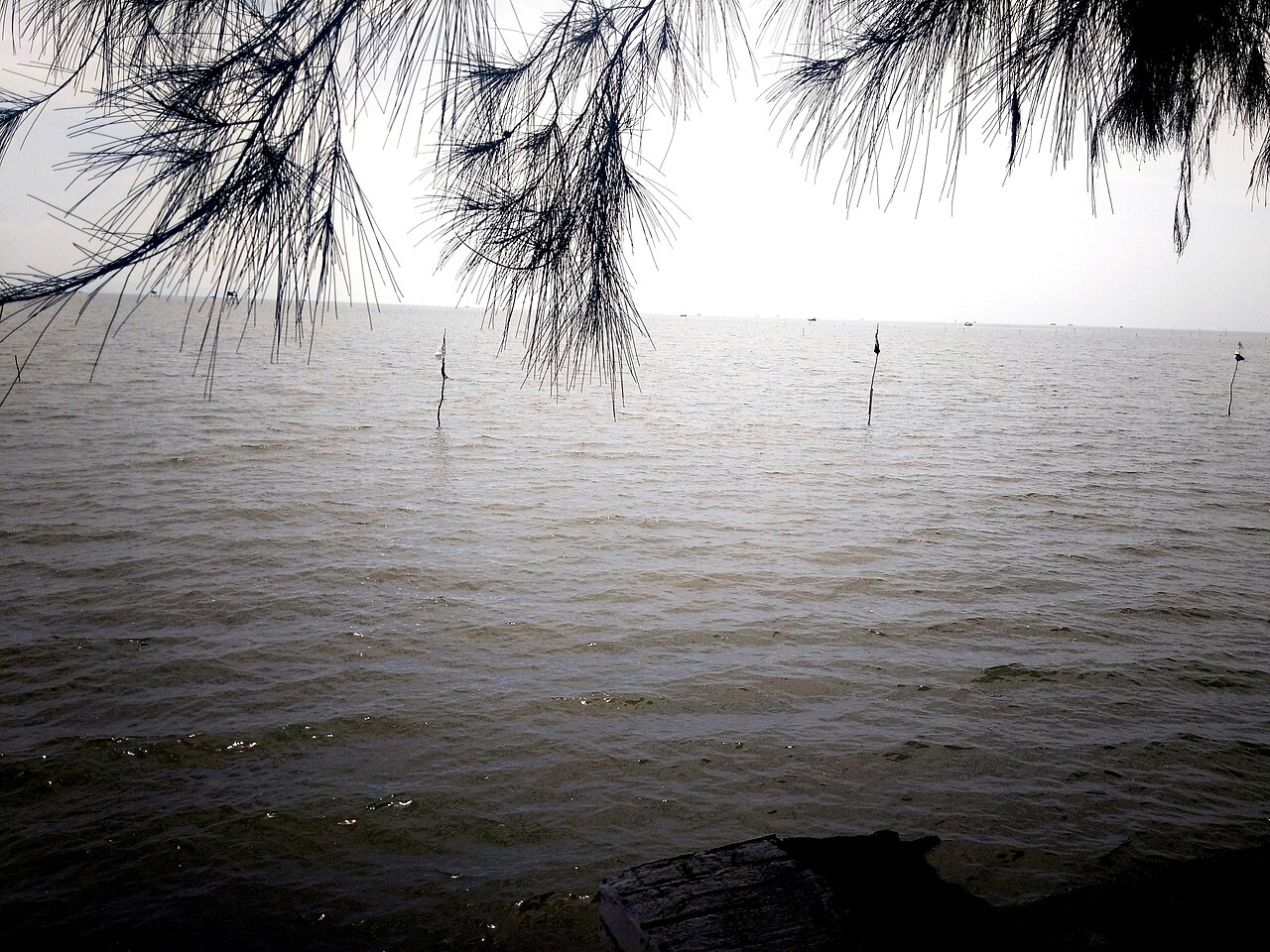
Can Gio occupies a peninsula and cluster of islands at the mouth of the Saigon and Dong Nai rivers, where fresh water meets the South China Sea. The dominant feature is a mosaic of tidal mangrove channels, mudflats, cajuput forest and small fishing settlements covering most of the area's 704 km². The coastline includes a modest beach at Can Thanh town, but Can Gio is primarily a nature destination rather than a beach resort. Vung Tau to the east serves that purpose more fully. Can Gio sits within Ho Chi Minh City's administrative boundaries and is the city's only coastal zone.
The mangrove reserve: destruction and restoration
During the Vietnam War, US forces repeatedly sprayed herbicides — principally Agent Orange — across the Rung Sat Special Zone, the name then given to this mangrove estuary, in order to deny cover to Viet Cong supply routes. By the war's end the forest was largely dead, the soil contaminated and the water ecology severely disrupted.
From the early 1980s, Vietnamese authorities began a multi-decade replanting programme, focusing on Rhizophora apiculata and related mangrove species. The effort is widely cited as one of the more successful large-scale mangrove restoration projects in the world. UNESCO designated the Can Gio Mangrove Biosphere Reserve in 2000, acknowledging both the ecological recovery and the continued scientific monitoring carried out there. The reserve supports saltwater crocodiles, otters, water monitor lizards, migratory birds and a substantial population of long-tailed macaques.
Monkey Island and the macaque problem
An area within the reserve known informally as Monkey Island — centred on a patch of forest accessible by boat — is home to a large, semi-habituated colony of long-tailed macaques (Macaca fascicularis). The monkeys are the most-visited attraction in Can Gio and are fed by vendors and tour operators, which has altered their behaviour considerably.
Visitors should be aware that the macaques are bold and will snatch food, bags, sunglasses, phones and other objects with little warning. The problem is well-documented and ongoing; there is no reliable deterrent beyond keeping belongings secured and out of sight. Items taken by the monkeys are rarely recovered. Feeding the animals encourages more aggressive behaviour and is discouraged by conservation staff, though enforcement is inconsistent.
Vam Sat ecological area
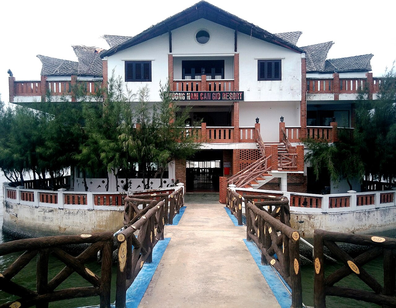
Vam Sat, in the southern part of the reserve, is a less-visited section offering boat tours through narrow mangrove channels, a crocodile enclosure, a bat colony roosting in cajuput trees, and watchtowers from which visitors can observe the canopy. The crocodiles held at Vam Sat are estuarine crocodiles (Crocodylus porosus), a species once native to this estuary and now locally extinct in the wild. Vam Sat tends to be quieter than the Monkey Island zone and gives a clearer sense of the reserve's scale and character. Access is by small motorised boat from a jetty near the main entrance.
Getting there from Ho Chi Minh City
Can Gio is roughly 50 kilometres from Ho Chi Minh City centre by road, but the journey requires a ferry crossing at Binh Khanh, where road vehicles queue to cross the Soirap River. The ferry runs continuously throughout the day and the crossing itself takes only a few minutes, but waiting times can be significant, particularly on weekends and public holidays when city residents travel to the coast in volume. Total journey time from the city centre is typically between 90 minutes and three hours depending on traffic and queue length.
Most visitors come as a day trip by motorbike, car or organised tour. Motorbike hire in Ho Chi Minh City allows independent travel, though the route along Highway 15 through the reserve is straightforward. Organised day tours generally include boat hire within the reserve, which is otherwise required to access Monkey Island and Vam Sat.
See also: When to go: weather by region, Money, ATMs and cards, SIM cards and eSIMs.
Climate and when to visit
Can Gio has a pronounced tropical monsoon pattern. From December through March the weather is dry, temperatures are at their most comfortable and rainfall is minimal — this is the clearest period for boat travel on the canals and the most popular time to visit. April marks the beginning of the transition: temperatures reach their peak and the first rains arrive.
From May the southwest monsoon dominates, bringing heavy and frequent rainfall that peaks between July and October. September typically sees the highest monthly rainfall of the year. Flooding can affect low-lying tracks within the reserve, and rough conditions on the estuarine channels can limit or cancel boat trips. November sees rainfall ease, and December returns conditions close to the dry-season norm. Further regional climate detail is on the weather guide.
Practical notes
Can Gio town (Can Thanh) has a modest range of seafood restaurants and basic guesthouses, oriented primarily at Vietnamese domestic visitors. The area is not set up for extended stays in the way that a conventional resort destination would be, and most foreign visitors return to Ho Chi Minh City the same day. ATM availability in Can Gio is limited; carrying sufficient cash before departing the city is advisable. See Money, ATMs and cards for general guidance.
Mobile signal within the reserve is patchy in places. A local SIM with a data package generally performs better than roaming; see SIM cards and eSIMs. Visitors have reported bag-snatching near the Monkey Island area — keep valuables secured and be alert; Safety and common scams covers broader precautions. Entry to the reserve and boat hire carry fees; Vietnam e-visa information is relevant for those entering the country for the first time.
Aya göre iklim
Uzun vadeli ortalamalar; tahmin değildir. Referans dönemi: 2015–2024. Kaynak: ERA5 reanalysis (Copernicus) via the Open-Meteo archive API.
Show the numbers
| Ay | En yüksek °C | En düşük °C | Yağış miktarı (mm) | Yağışlı gün sayısı | Humidity % |
|---|---|---|---|---|---|
| January | 29.2 | 23.5 | 22 | 4 | 77 |
| February | 29.8 | 23.8 | 5 | 1 | 74 |
| March | 30.6 | 25.1 | 12 | 2 | 75 |
| April | 31.3 | 26.5 | 59 | 10 | 77 |
| May | 31.2 | 26.6 | 226 | 24 | 82 |
| June | 30.6 | 25.7 | 265 | 27 | 85 |
| July | 29.9 | 25.3 | 308 | 30 | 87 |
| August | 30.1 | 25.3 | 295 | 29 | 86 |
| September | 29.7 | 25.0 | 336 | 29 | 88 |
| October | 29.4 | 24.8 | 310 | 26 | 87 |
| November | 29.5 | 24.8 | 134 | 18 | 84 |
| December | 29.2 | 23.8 | 76 | 11 | 81 |
Practical notes
Where it is
Also known as / see also
Yakın çevrede
Referans veren sayfalar
Kaynaklar
- ERA5 climate normals — Copernicus / Open-Meteo (CC BY 4.0) erişildi 30 August 2026
Supports: monthly temperature and rainfall normals, and elevation - Cần Giờ (Q626340) — Wikidata (CC0 1.0) erişildi 30 August 2026
Supports: coordinates, area, population - Cần Giờ — Wikipedia (CC BY-SA 4.0) erişildi 30 August 2026
Supports: background
Current Son doğrulama: 31 August 2026. Rules, fares and prices change — check the official source before acting on anything here. Report a mistake.
Picture credits (6)
Cần Giờ 2018 (KND Phương Nam) (2), Phương Huy, CC BY-SA 4.0, Wikimedia Commons · Cần Giờ 2018 (KND Phương Nam, biển Cần Giờ) (2), Phương Huy, CC BY-SA 4.0, Wikimedia Commons · Cần Giờ 2018 (KND Phương Nam, biển Cần Giờ) (3), Phương Huy, CC BY-SA 4.0, Wikimedia Commons · Cần Giờ 2018 (KND Phương Nam, nhà chính) (2), Phương Huy, CC BY-SA 4.0, Wikimedia Commons · Cần Giờ 2018 (KND Phương Nam, nhà chính) (3), Phương Huy, CC BY-SA 4.0, Wikimedia Commons · Cần Giờ 2018 (KND Phương Nam, điêu khắc chạm nổi cảnh thuyền bè) (1), Phương Huy, CC BY-SA 4.0, Wikimedia Commons