
What Ca Mau Cape is
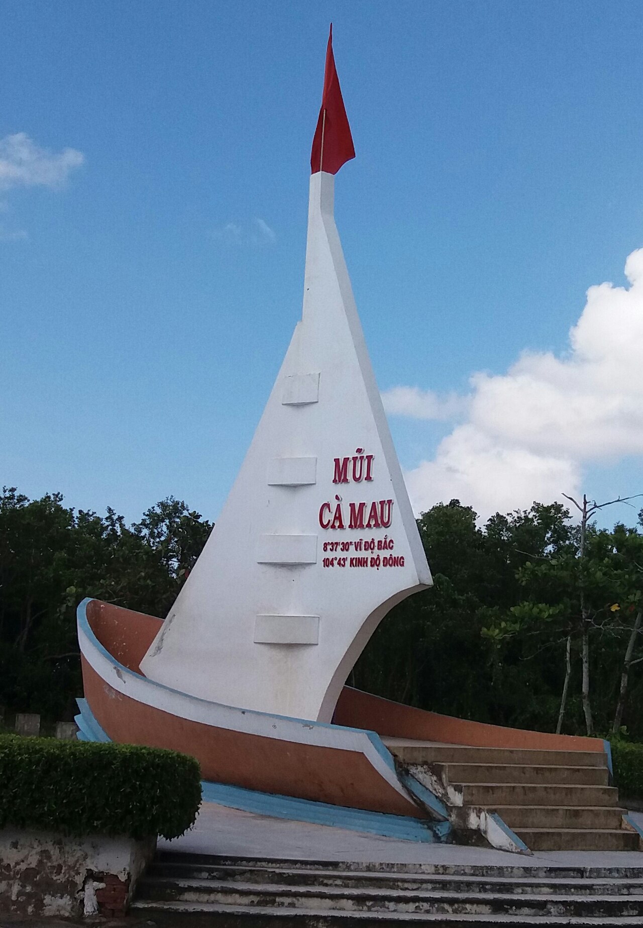
Ca Mau Cape (Mũi Cà Mau) marks the southernmost point of Vietnam's mainland, where the South China Sea meets the Gulf of Thailand at the very tip of the Cà Mau Peninsula. A concrete marker shaped like a stylised ship's prow stands at the tip, accompanied by a stone pillar inscribed with the national coordinates. The site is both a geographical endpoint and a symbolic one: Vietnamese schoolchildren learn it as the southernmost boundary of the country, and many visitors come specifically to stand at that marker.
The cape sits within Mũi Cà Mau National Park, which protects a mosaic of tidal mangrove forest, mudflats and coastal channels across roughly 41,000 hectares. In 2009, UNESCO designated the surrounding area a World Biosphere Reserve, recognising the ecological significance of one of Southeast Asia's most extensive mangrove systems.
The mangrove ecosystem
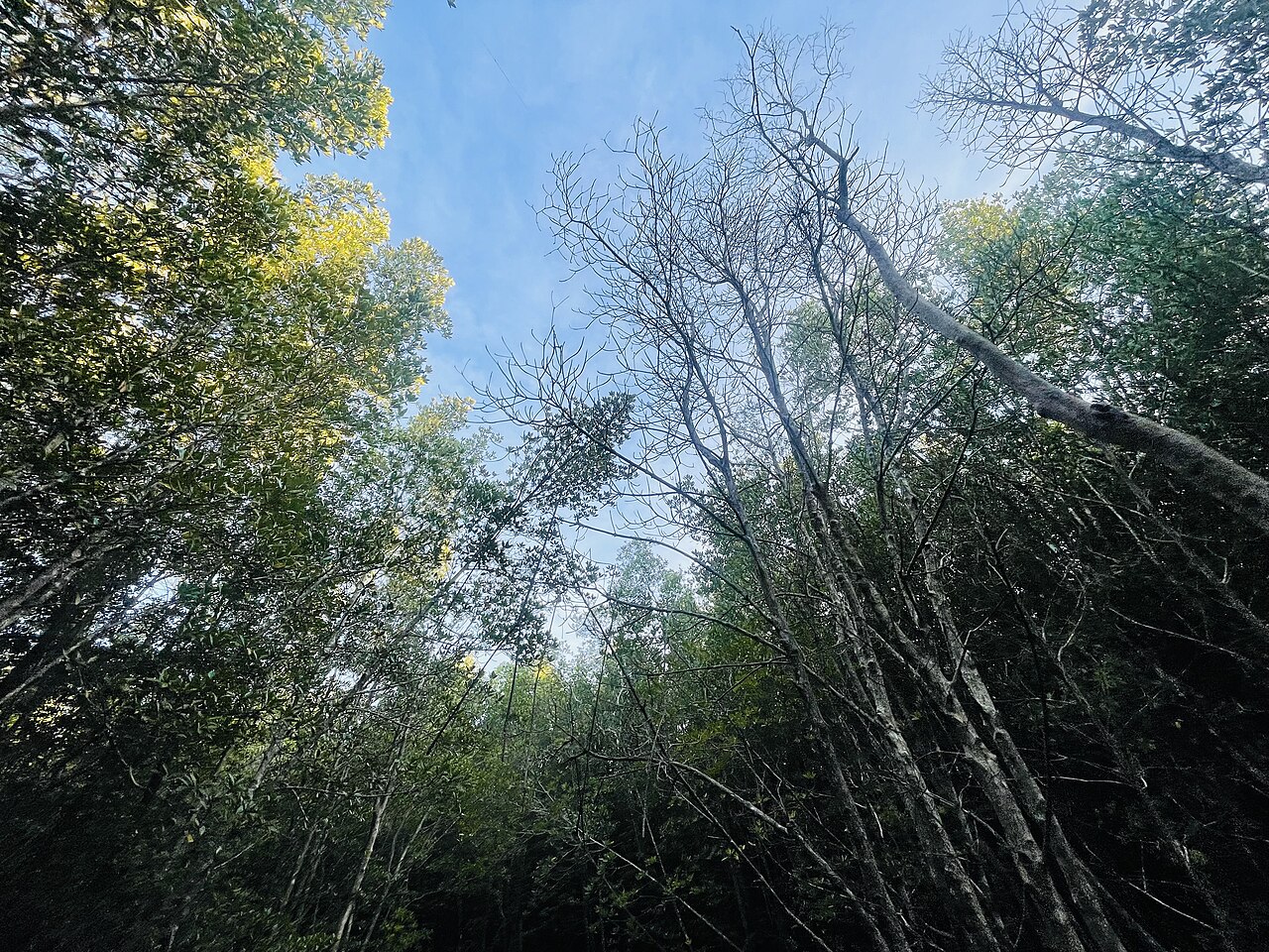
The mangroves around Ca Mau Cape are dominated by species including Rhizophora apiculata and Avicennia alba, their prop roots and pneumatophores locking the soft alluvial sediment together. The Cà Mau Peninsula is geologically young — the delta continues to deposit sediment and the coastline still advances into the sea at measurable rates, though erosion on the western side complicates this picture.
The forest supports populations of saltwater crocodile, smooth-coated otter, fishing cat and a wide range of migratory and resident waterbirds. Mud skippers, fiddler crabs and horseshoe crabs are conspicuous in the intertidal zones. The national park administration manages a buffer between strictly protected core zones and areas where local fishing communities continue to operate.
Separate from the cape itself, U Minh Hạ — a peat-swamp forest further north on the peninsula — forms part of the same biosphere network and protects a different habitat type: freshwater wetland forest dominated by Melaleuca (tea-tree) species.
Getting there
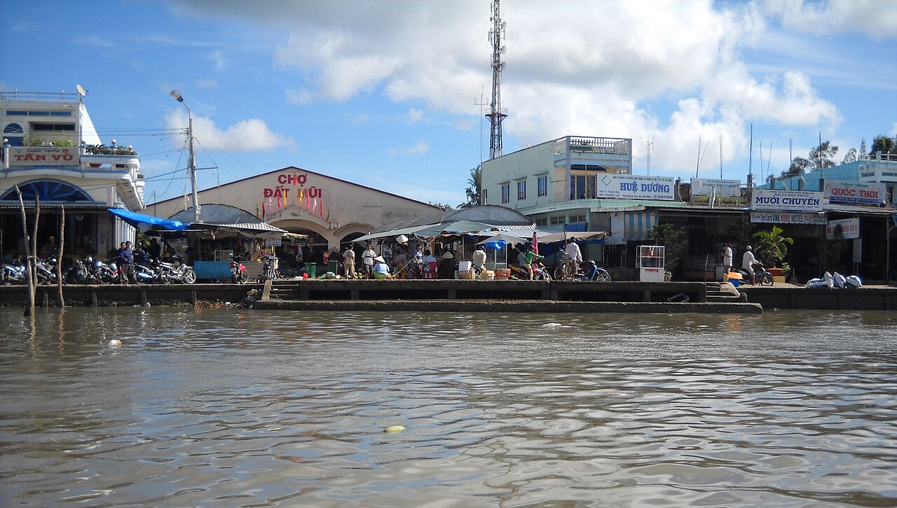
The cape is not accessible by road all the way to the tip. Visitors travel overland to Ca Mau city, then continue by boat through a network of canals and coastal channels. The boat journey from the nearest landing point takes roughly two to three hours each way depending on tide and vessel, passing through increasingly dense mangrove corridors as the settlement thins out.
From Ho Chi Minh City, Ca Mau city is approximately 350 kilometres by road — a journey of six or more hours by bus or car — or reachable by domestic flight. Can Tho is a common intermediate stop for those travelling overland. There are no practical shortcuts: the cape's remoteness is intrinsic to its geography.
Organised day trips and overnight tours depart from Ca Mau city and are the most common way independent travellers reach the site. Private boat hire is also available, though coordination with the national park is generally required for access to core zones.
When to visit
The peninsula has a pronounced wet season running from roughly May through November, with September and October bringing the heaviest rainfall. During these months, boat travel can be disrupted by rough coastal conditions, particularly on the seaward approach to the cape. The dry season from December through April is generally calmer, with lower humidity and less rain, making boat journeys more predictable and the mudflat habitats more accessible on foot.
Temperatures remain warm throughout the year with relatively little variation between seasons — the main change is in rainfall rather than heat. The dry-season months are considered the standard visiting window, though the forest itself is lush year-round. See When to go: weather by region for broader Mekong Delta context.
Nearby destinations
Ca Mau Cape sits at the far southern end of a region with several other significant destinations. Phú Quốc, Vietnam's largest island, lies to the northwest in the Gulf of Thailand and is served by its own airport. The Con Dao Islands are accessible by sea or air further to the east. Both offer a contrast to the delta landscape of the cape.
Within the delta itself, Can Tho is the main regional city and a base for floating market visits. An Giang province to the north offers highland scenery unusual in an otherwise flat delta region. All of these require separate journeys given the distances involved across the peninsula.
Practical notes
Facilities at the cape itself are limited. A small reception and guesthouse complex operated by the national park provides basic overnight accommodation, which some visitors combine with an early-morning walk to the marker. Mobile network coverage is intermittent beyond Ca Mau city; see SIM cards and eSIMs for advice on connectivity in remote areas.
ATM access effectively ends at Ca Mau city, so carrying sufficient cash before departing is advisable — see Money, ATMs and cards. Foreign nationals require a valid Vietnamese visa or e-visa; details are at Vietnam e-visa. The journey involves extended time on small boats in direct sun, and the mudflats and mangrove boardwalks can be slippery. General advice on safety considerations is at Safety and common scams.
Clima per mese
Medie di lungo periodo, non una previsione. Periodo di riferimento: 2015–2024. Fonte: ERA5 reanalysis (Copernicus) via the Open-Meteo archive API.
Show the numbers
| Mese | Massima °C | Min °C | Pioggia mm | Giorni di pioggia | Humidity % |
|---|---|---|---|---|---|
| January | 28.7 | 24.4 | 37 | 7 | 79 |
| February | 29.2 | 24.5 | 18 | 5 | 77 |
| March | 30.2 | 25.4 | 18 | 6 | 76 |
| April | 31.1 | 26.6 | 51 | 13 | 76 |
| May | 30.9 | 27.1 | 155 | 23 | 79 |
| June | 29.7 | 26.7 | 211 | 24 | 81 |
| July | 29.1 | 26.2 | 264 | 27 | 83 |
| August | 29.0 | 26.2 | 252 | 27 | 83 |
| September | 28.8 | 25.9 | 360 | 27 | 84 |
| October | 28.8 | 25.5 | 274 | 28 | 85 |
| November | 28.9 | 25.2 | 198 | 24 | 84 |
| December | 28.6 | 24.6 | 111 | 16 | 81 |
Practical notes
Where it is
Also known as / see also
Nelle vicinanze
Citato da
Fonti
- ERA5 climate normals — Copernicus / Open-Meteo (CC BY 4.0) consultato 30 August 2026
Supports: monthly temperature and rainfall normals, and elevation - Vietnam National Authority of Tourism — VNAT consultato 29 August 2026
Supports: the rules and definitions on this page - Cape Cà Mau — Wikipedia (CC BY-SA 4.0) consultato 31 August 2026
Supports: background - Mũi Cà Mau — Wikipedia (Vietnamese) (CC BY-SA 4.0) consultato 31 August 2026
Supports: background, Vietnamese edition
Current Ultima verifica: 31 August 2026. Rules, fares and prices change — check the official source before acting on anything here. Report a mistake.
Picture credits (4)
Sunrise behind tree silhouette at Ca Mau Cape on March 22 2026, Nevillenguyen310, CC BY-SA 4.0, Wikimedia Commons · Tuongdaimuicamau, Thanhminh2000, CC BY-SA 4.0, Wikimedia Commons · Tree on Cà Mau Cape, Hoangthuviet, CC BY-SA 4.0, Wikimedia Commons · Chợ Đất Mũi, ASM~viwiki, CC BY-SA 3.0, Wikimedia Commons