
The place itself has not changed, and this page continues to cover it.
National Assembly Resolution 202/2025/QH15 on the rearrangement of provincial-level administrative units
Administrative status
Binh Thuan existed as a provincial-level administrative unit until 30 June 2025. On 1 July 2025, as part of Vietnam's nationwide consolidation from 63 provinces to 34, it was merged into Lam Dong, which now governs the entire territory. The district tier was abolished at the same time, and the country moved to a two-tier province/commune system.
The merger is an administrative change only. The geography, the towns, the coastline and the infrastructure of the former Binh Thuan are unchanged. Mui Ne, Phan Thiet, the red and white sand dunes, and the fishing harbours are all where they have always been. Travellers searching by place name rather than administrative name will find no disruption on the ground.
What Binh Thuan is known for
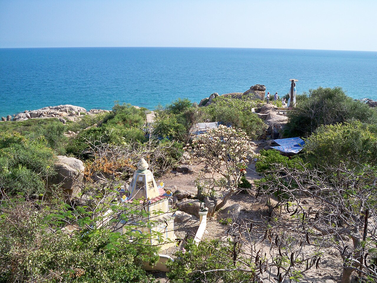
The former province occupies a stretch of the south-central coast roughly 200 km northeast of Ho Chi Minh City. Its coastline faces southeast into the South China Sea and is notable for consistent wind, which has made the area around Mui Ne one of Southeast Asia's principal destinations for kitesurfing and windsurfing.
- Mui Ne: a cape and resort strip with a long beach, sand dunes in red and white, and a traditional fishing village at its eastern end.
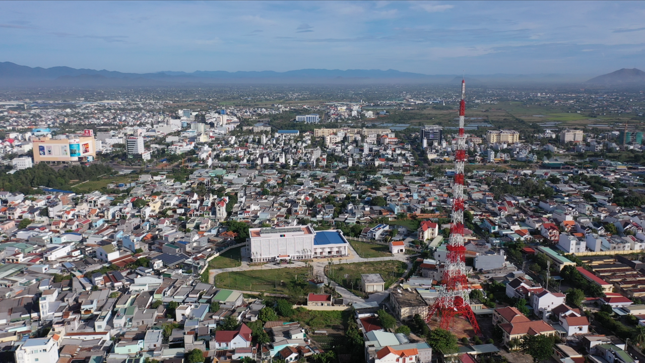
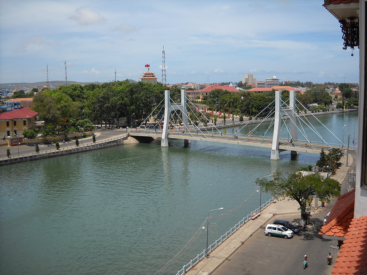
- Phan Thiet: the former provincial capital, a working city built around its harbour, known for fish sauce (nuoc mam) production and the Cham tower complex at Po Sah Inu on the edge of town.
- Sand dunes: the Bau Trang white dunes and the Red Sand Dunes near Mui Ne are among the most photographed landscapes in southern Vietnam.
- Fishing industry: the coast supported a large fleet, and seafood — particularly in Phan Thiet's market — reflects this directly.
Climate and when to visit
The former Binh Thuan has an unusually dry climate for a Vietnamese coastal zone, influenced by its position in the rain shadow of the Central Highlands. The year divides into two broad periods.
From January through April, conditions are at their driest. Temperatures rise steadily through March and April to reach the year's peak, with very little rainfall. This is the period most associated with beach tourism and reliable wind for water sports.
From May through October, rainfall increases markedly. September and October are the wettest months by a considerable margin. Even so, Binh Thuan receives far less rainfall than coastal provinces further north, and sunshine is common even during the wet season. November and December form a transitional period as rain eases and temperatures moderate slightly.
The wind regime matters as much as the rain. Northeast winds dominate the dry season and are what drives kite and windsurfing conditions at Mui Ne. Prices vary by season, and the dry-season peak sees significantly higher accommodation demand.
Getting there and around
Phan Thiet is the main arrival point for the former province. The city sits on National Highway 1 and has rail connections on the North–South main line, making it reachable from both Ho Chi Minh City and Da Nang. Travel time from Ho Chi Minh City by road is typically three to four hours depending on traffic and the route taken, though this varies considerably.
A dedicated expressway segment connecting Phan Thiet to the broader southern expressway network opened in recent years, significantly reducing journey times from Ho Chi Minh City compared with the old highway route.
Phan Thiet airport, known as Ca Na or Phan Thiet Airport, was under development for commercial operations as of the mid-2020s; its operational status should be verified before travel.
Within the coastal strip, motorbike hire is the dominant mode of local transport. The road between Phan Thiet city centre and the Mui Ne resort area runs along the coast and is navigable by taxi and ride-hailing services. The sand dunes require either a hired vehicle or organised transport from accommodation.
Areas and accommodation
Visitors to the former Binh Thuan generally base themselves in one of two distinct zones.
- The Mui Ne resort strip (also referred to by the name of the broader bay, Ham Tien): a linear sequence of hotels, guesthouses and resorts running along the coast road northeast of Phan Thiet. The western end, closer to the city, tends toward mid-range and budget accommodation; the eastern end and the cape itself have more resort-scale properties with direct beach access. This is where the majority of international visitors stay.
- Phan Thiet city: a functional Vietnamese city rather than a resort, with local hotels and guesthouses at a range of levels. It gives easier access to the fish market, the Cham towers, the estuary and everyday commerce. Some visitors prefer this as a base for reasons of cost or character.
A third option exists further afield: Ca Na, a quieter coastal area to the north, which had some smaller resort development but is less visited.
Common misunderstandings
Several misconceptions recur among first-time visitors to this part of Vietnam.
- "Mui Ne" is used loosely: the name is often applied to the entire resort coastline between Phan Thiet and the cape, when it technically refers to the cape and fishing village at the northeastern end. Hotels marketed as "Mui Ne" may be several kilometres from the cape itself.
- The dunes require planning: the Red Sand Dunes are a short distance from the resort strip, but the White Sand Dunes (Bau Trang) are further away and are usually visited by jeep or on an early-morning excursion. Expecting to walk to them is a common error.
- The sea is not always calm: the same wind that makes the bay good for kite sports also creates surf and currents that make swimming less straightforward than at calm-water beaches elsewhere in Vietnam. Conditions vary by season and location along the beach.
- Administrative references are outdated: since 1 July 2025, there is no Binh Thuan province. Any official document, address or registration now falls under Lam Dong. Older maps and guidebooks will show the former boundary.
月別気候
長期平均値であり、予報ではありません。 参照期間: 2015–2024. 出典: ERA5 reanalysis (Copernicus) via the Open-Meteo archive API.
Show the numbers
| 月 | 最高気温 °C | 最低気温 °C | 降水量(mm) | 雨天日数 | Humidity % |
|---|---|---|---|---|---|
| January | 32.0 | 20.5 | 22 | 3 | 70 |
| February | 33.1 | 20.7 | 6 | 1 | 65 |
| March | 33.8 | 22.0 | 14 | 3 | 68 |
| April | 34.1 | 24.0 | 46 | 10 | 72 |
| May | 33.3 | 24.8 | 161 | 24 | 79 |
| June | 32.4 | 24.3 | 184 | 23 | 81 |
| July | 31.4 | 24.1 | 186 | 25 | 83 |
| August | 31.8 | 24.0 | 174 | 24 | 83 |
| September | 31.1 | 23.7 | 238 | 26 | 85 |
| October | 30.6 | 23.0 | 240 | 24 | 86 |
| November | 31.0 | 22.4 | 134 | 12 | 81 |
| December | 31.2 | 21.2 | 58 | 7 | 75 |
Places within Binh Thuan
Also known as / see also
現在は一部
参照元
出典
- ERA5 climate normals — Copernicus / Open-Meteo (CC BY 4.0) アクセス日 30 August 2026
Supports: monthly temperature and rainfall normals, and elevation - Binh Thuan (Q36869) — Wikidata (CC0 1.0) アクセス日 30 August 2026
Supports: coordinates, area, population - Binh Thuan — Wikipedia (CC BY-SA 4.0) アクセス日 30 August 2026
Supports: background
Current 最終確認: 31 August 2026. Rules, fares and prices change — check the official source before acting on anything here. Report a mistake.
Picture credits (5)
Ke Ga Lighthouse in early morning of Phan Thiet, Binh Thuan, Vietnam, Vietnam Photo Tours | An Bui, CC BY 2.0, Wikimedia Commons · Lam Tr Th, CC BY-SA 3.0, Wikimedia Commons · Bãi Cà Dược nhìn từ đỉnh Linh Thứu, Liftold ( thảo luận ), CC BY 3.0, Wikimedia Commons · Toàn cảnh Đài PT-TH Bình Thuận, Đài Phát thanh - Truyền hình Bình Thuận, CC BY-SA 4.0, Wikimedia Commons · Sông Cà Ty trong TP.Phan Thiết, Original uploader was Nguyễn Đông Sơn at vi.wikipedia, CC BY-SA 3.0, Wikimedia Commons