
The place itself has not changed, and this page continues to cover it.
National Assembly Resolution 202/2025/QH15 on the rearrangement of provincial-level administrative units
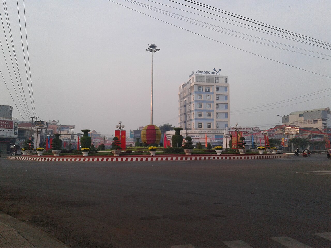
Administrative status
Binh Phuoc existed as a province from reunification-era reorganisations until 30 June 2025, when Vietnam's sweeping national reform merged its 63 provincial-level units into 34. Binh Phuoc was absorbed into Dong Nai, which now governs the combined territory. The district tier was abolished at the same time, and administration moved to a two-tier province/commune system.
Nothing on the ground changed. Dong Xoai, Phuoc Long, Bu Dop, Loc Ninh and every other town, road and forest remain where they have always been. Travellers and researchers will still encounter the name Binh Phuoc widely in signage, local speech and older documentation; it is best understood as a geographical and historical designation rather than a current administrative one.
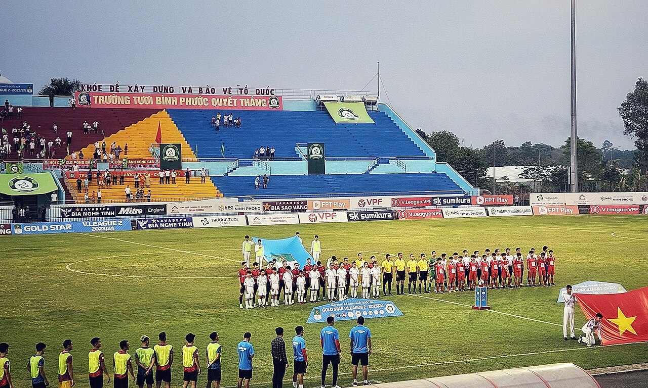
Geography and character
The territory sits on a transitional plateau between the flat Mekong Delta lowlands and the central highlands, at a mean elevation of around 146 metres. The terrain is gently rolling rather than mountainous, covered in a mixture of rubber and cashew plantations, patches of primary and secondary forest, and a network of rivers that drain towards the Dong Nai river system.
Binh Phuoc shares a long land border with Cambodia, passing through Binh Long and Bu Dop districts — former district names that remain useful in everyday geography even though districts are no longer administrative units. This border character shapes the area's economy, its ethnic mix and its wartime history. The Stieng, Khmer and Mnong peoples have traditional communities here alongside the Kinh majority.
Cashew is the defining crop: Binh Phuoc has for decades been cited as Vietnam's largest cashew-producing region, and the processing facilities and orchards are visible across the landscape from roughly March to May when harvest is underway.

Climate and when to visit
The year divides sharply into two seasons. From roughly November through March, rainfall is low, temperatures reach their highest daytime peaks — particularly in February and March when afternoons are notably hot and dry — and the landscape takes on a dusty, parched quality. This dry season is generally the most comfortable period for moving around on unpaved roads and visiting forested sites.
The wet season runs from May through October. Rainfall rises steeply from May, peaks across July, August and September when monthly totals are very high, then tapers in October and November. Temperatures during this period are moderated by cloud cover and rain, but roads in remote areas can become difficult, and river levels rise considerably. April is a transitional month, warm and increasingly humid, with rain beginning to build.
Visitors with a specific interest in the cashew harvest should note that activity peaks in the earlier months of the year, before the rains arrive in earnest.
What to see and do
The area's wartime history is its most internationally recognised draw. Loc Ninh saw some of the most intense fighting of the American War and was briefly the seat of the Provisional Revolutionary Government in the early 1970s; remnants of that period including bunkers, military hardware and a commemorative airstrip remain accessible. An Loc (the urban centre of Binh Long town) was the site of a prolonged and destructive siege in 1972; memorials and a military museum document the battle.
For those interested in natural landscapes, Bu Gia Map National Park in the north of the territory is one of the few remaining areas of lowland and transitional forest in the southeast. It provides habitat for gibbons, banteng and a range of bird species, and has basic ranger-station accommodation for those arranging permitted visits in advance.
Cashew and rubber estates can be visited informally in many parts of the territory, and the markets at Dong Xoai — the main urban centre — reflect the region's agricultural economy and its ethnic diversity.
Getting there and around
Dong Xoai, the principal town, lies roughly 120 kilometres north of Ho Chi Minh City. National Highway 13 is the main artery connecting the territory to Binh Duong and Ho Chi Minh City in the south, and extending north to Loc Ninh and the Cambodian border crossing at Hoa Lu. Highway 14 links the area westward towards Tay Ninh and eastward into what was formerly Dak Nong.
There is no commercial airport serving the area. Buses connect Dong Xoai and other towns to Ho Chi Minh City's northern bus stations with reasonable frequency. Within the territory, motorbike is the practical choice for reaching national park areas, border-zone sites and rural communities; roads to remote areas are often unpaved and seasonal conditions affect their condition significantly.
The Hoa Lu border gate at Bu Dop provides a crossing into Cambodia's Kratie province, though travellers should verify current crossing status and visa arrangements independently, as these have changed periodically.
What first-time visitors get wrong
Assuming the province still exists administratively. Since 1 July 2025, Binh Phuoc is part of Dong Nai. Official documents, permits for national park visits and business registrations will reference Dong Nai province. Using the old provincial name on formal paperwork may cause confusion.
Underestimating distances on the ground. The territory is large and much of it is served by secondary or unpaved roads. Distances that look manageable on a map can take considerably longer than expected, particularly during the wet season.
Overlooking the border-zone permit situation. Some areas close to the Cambodian border have historically required additional permits for foreign nationals. Regulations on this have fluctuated; checking current requirements before travelling to Bu Dop or remote areas near the frontier is advisable.
Conflating the ethnic landscape with that of the central highlands. The Stieng people, who are the largest indigenous group here, have distinct traditions, language and craft forms that differ from the Ede, Bahnar or other peoples more associated with Gia Lai or Kon Tum.
Klima nach Monat
Langzeitdurchschnitte, keine Vorhersage. Referenzzeitraum: 2015–2024. Quelle: ERA5 reanalysis (Copernicus) via the Open-Meteo archive API.
Show the numbers
| Monat | Höchsttemperatur °C | Tief °C | Regen mm | Regentage | Humidity % |
|---|---|---|---|---|---|
| January | 32.2 | 21.7 | 26 | 3 | 63 |
| February | 33.7 | 21.8 | 11 | 2 | 59 |
| March | 34.5 | 23.0 | 31 | 5 | 63 |
| April | 34.0 | 24.2 | 89 | 14 | 72 |
| May | 32.2 | 24.5 | 256 | 26 | 83 |
| June | 30.3 | 23.8 | 345 | 28 | 89 |
| July | 29.4 | 23.4 | 484 | 30 | 91 |
| August | 29.6 | 23.4 | 454 | 30 | 91 |
| September | 29.3 | 23.1 | 496 | 29 | 91 |
| October | 29.5 | 22.8 | 338 | 25 | 89 |
| November | 30.4 | 22.6 | 159 | 15 | 82 |
| December | 30.7 | 22.0 | 44 | 6 | 70 |
Jetzt Teil von
Referenziert von
Quellen
- ERA5 climate normals — Copernicus / Open-Meteo (CC BY 4.0) abgerufen 30 August 2026
Supports: monthly temperature and rainfall normals, and elevation - Binh Phuoc (Q36672) — Wikidata (CC0 1.0) abgerufen 30 August 2026
Supports: coordinates, area, population - Binh Phuoc — Wikipedia (CC BY-SA 4.0) abgerufen 30 August 2026
Supports: background
Current Zuletzt geprüft: 31 August 2026. Rules, fares and prices change — check the official source before acting on anything here. Report a mistake.
Picture credits (4)
Outside broadcasting van of Binh Phuoc TV Vietnam, 2025, HuyNome42, CC BY-SA 4.0, Wikimedia Commons · Nga tu Dong Xoai - Binh Phuoc, K1eprongbuon812, CC BY-SA 4.0, Wikimedia Commons · Bình Phước Stadium 2024, AxitTDTbenzoic, CC0, Wikimedia Commons · Bracelets, Xtieng, Binh Phuoc, 1990, aluminum - Vietnamese Women's Museum - Hanoi, Vietnam - DSC04046, Daderot, CC0, Wikimedia Commons