The place itself has not changed, and this page continues to cover it.
National Assembly Resolution 202/2025/QH15 on the rearrangement of provincial-level administrative units
Administrative status
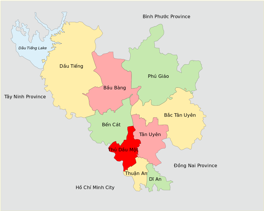
Binh Duong existed as a provincial-level administrative unit from an earlier reorganisation until 30 June 2025, when Vietnam's nationwide consolidation of its 63 provinces into 34 took effect. On 1 July 2025 the territory merged into Ho Chi Minh City, which now governs the area directly under the new two-tier province/commune system. The district tier has been abolished nationally, so former district names no longer describe current administrative divisions.
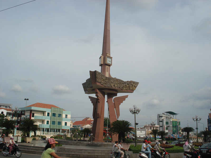
This change affects paperwork, addresses and official jurisdiction. It does not affect geography: the towns of Thu Dau Mot, Di An, Thuan An and Binh Duong's other settlements remain where they are and retain their character. Visitors and residents familiar with the area will find the physical landscape unchanged.
Character and what the area is known for
Binh Duong sits on a low plateau of red laterite soil at a mean elevation of roughly 56 metres above sea level, rising gently from the Saigon River floodplain. The area is defined above all by its industrial identity: from the 1990s onward it became one of the first and largest recipients of foreign direct investment in Vietnam, and its export-processing zones — particularly around Di An and Thuan An — helped reshape the country's manufacturing profile.
Alongside industry, Binh Duong has a long-established reputation for two craft traditions: lacquerware (son mai) and ceramics. The kilns and workshops concentrated around Thu Dau Mot and the Lai Thieu area have supplied decorative and household goods across Vietnam and for export for well over a century. Lai Thieu is additionally known for its orchards of longan, rambutan and durian, which remain a seasonal draw for visitors from Ho Chi Minh City.
Getting there and around
The territory formerly known as Binh Duong is contiguous with Ho Chi Minh City to the south; Di An and Thuan An, the southernmost towns, merge functionally into the urban fabric of the metropolis. Road links are dense, with National Highway 13 running north from central Ho Chi Minh City through Thuan An and Thu Dau Mot toward Binh Phuoc.
Public buses operate along Highway 13 and on cross-routes connecting the main towns. Motorbike taxis and ride-hailing apps are widely available in the urban belt. The area has no commercial airport; Tan Son Nhat International Airport in Ho Chi Minh City is the regional air hub. A rail link has been discussed as part of metro expansion plans, though the status of such projects is subject to change and should be verified locally before travel.
Traffic on the southern approaches, particularly around Di An and Thuan An, is heavily influenced by industrial shift changes. Travellers should factor this into journey planning during morning and late afternoon hours on weekdays.
Climate and when to visit
The area follows a classic southern Vietnamese tropical pattern with two seasons rather than four. The dry season runs from around December through March, when temperatures climb steadily and rainfall is minimal. The hottest and driest weeks typically fall in March and April, when afternoon maxima are at their peak before the rains arrive.
The wet season begins around April or May and intensifies sharply through June, July, August and September, with September typically the wettest month of the year. Rainfall during these months is heavy and often arrives as afternoon or evening downpours rather than sustained all-day rain. October and November mark a gradual transition back toward drier conditions.
The dry season months — particularly December through February — offer the most comfortable conditions for outdoor activity and craft workshop visits. Orchards in Lai Thieu bear fruit primarily during the wet season months, making that period relevant for visitors with that specific interest despite the heavier rain.
Things to see and do
The lacquerware and ceramic workshops around Thu Dau Mot constitute the area's most distinctive cultural offer. Some workshops operate as both production facilities and retail outlets, and visitors can observe the multi-stage lacquering process, which involves applying successive layers of resin over carved or moulded forms and polishing between applications. The ceramics tradition, concentrated in part in the Tan Phuoc Khanh area, encompasses both decorative pieces and everyday pottery.
Lai Thieu, a riverside settlement with orchard gardens, functions as a weekend leisure destination for urban residents from Ho Chi Minh City. The gardens are most active during the summer fruit season.
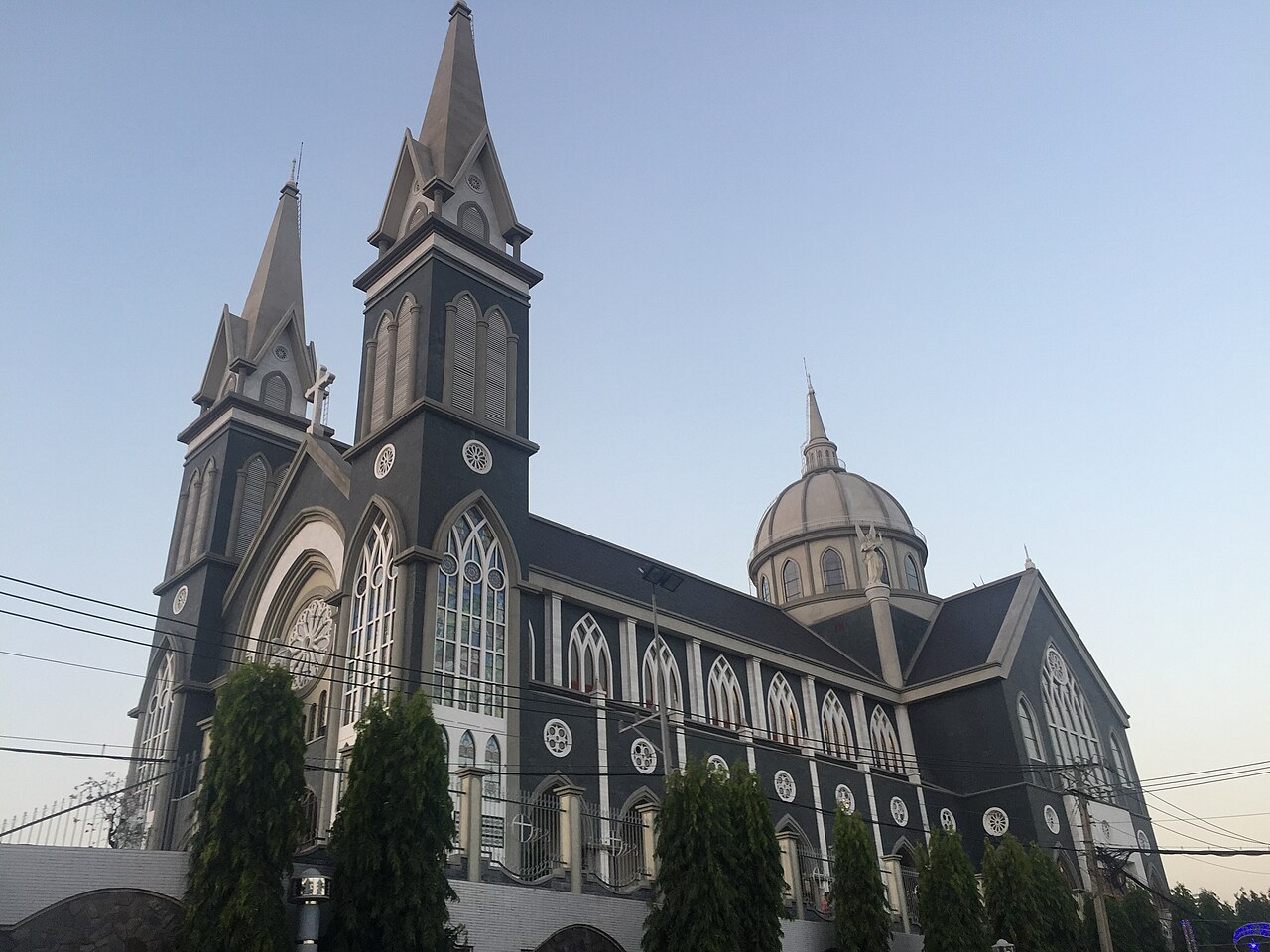
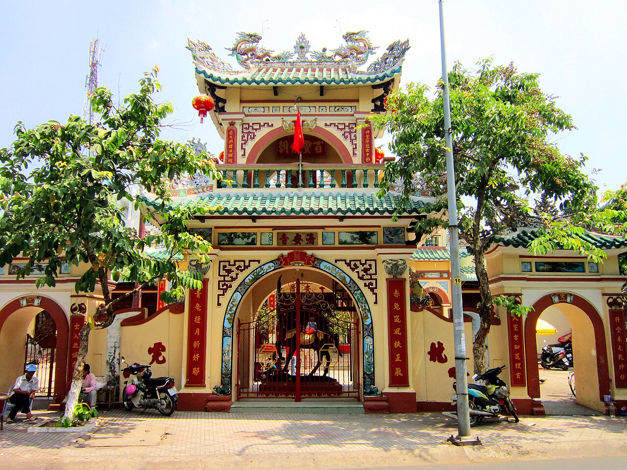
Several Buddhist temples and pagodas are scattered through the area, reflecting both Vietnamese and Chinese community histories. The region also contains a number of war-era sites associated with the American War period; their interpretation and accessibility vary.
The industrial parks themselves are not tourist sites but are relevant for business travellers: VSIP (Vietnam Singapore Industrial Park), established in 1996, was among the earliest and most significant of its kind in Vietnam.
Where to stay
Accommodation is concentrated in two zones. The southern belt — Di An and Thuan An — has a range of business-oriented hotels catering to the industrial sector, with proximity to Ho Chi Minh City making it a viable base for those with meetings in either location. Thu Dau Mot, the historical provincial capital, has a broader selection including mid-range hotels and guesthouses suited to leisure visitors exploring craft areas or the wider region.
There is no significant resort or luxury hotel sector within the area; travellers seeking that tier of accommodation typically use Ho Chi Minh City as a base and make day trips northward. Homestays exist around the Lai Thieu orchard zone but availability is informal and seasonal.
Common misunderstandings
The most significant current source of confusion is administrative. Since 1 July 2025, addresses and official references that once said "Binh Duong Province" now fall under Ho Chi Minh City. Businesses, embassies and government agencies may not yet have updated all records consistently; travellers dealing with formal documentation — visas, company registration, property — should verify current address conventions carefully.
A common geographical misreading is treating Binh Duong as distant or rural. The southern towns are essentially suburbs of Ho Chi Minh City and experience urban traffic, noise and density accordingly. Visitors expecting a quiet countryside experience close to the city boundary are likely to be disappointed.
The craft sector warrants realistic expectations: wholesale and export-oriented workshops are the norm, and the retail experience is not uniformly curated for independent tourists. Vietnamese-language negotiation skills or a local contact are useful in smaller workshops.
Aya göre iklim
Uzun vadeli ortalamalar; tahmin değildir. Referans dönemi: 2015–2024. Kaynak: ERA5 reanalysis (Copernicus) via the Open-Meteo archive API.
Show the numbers
| Ay | En yüksek °C | En düşük °C | Yağış miktarı (mm) | Yağışlı gün sayısı | Humidity % |
|---|---|---|---|---|---|
| January | 32.0 | 22.2 | 27 | 4 | 67 |
| February | 33.4 | 22.4 | 17 | 3 | 63 |
| March | 34.3 | 23.7 | 20 | 4 | 65 |
| April | 34.4 | 25.0 | 111 | 11 | 71 |
| May | 32.8 | 25.3 | 239 | 25 | 81 |
| June | 31.1 | 24.4 | 295 | 27 | 87 |
| July | 30.3 | 24.2 | 386 | 30 | 88 |
| August | 30.6 | 24.1 | 355 | 30 | 87 |
| September | 30.2 | 23.9 | 403 | 30 | 89 |
| October | 30.1 | 23.6 | 333 | 27 | 88 |
| November | 30.4 | 23.2 | 169 | 19 | 84 |
| December | 30.7 | 22.4 | 71 | 10 | 74 |
Şu an parçası olduğu yer
Referans veren sayfalar
Kaynaklar
- ERA5 climate normals — Copernicus / Open-Meteo (CC BY 4.0) erişildi 30 August 2026
Supports: monthly temperature and rainfall normals, and elevation - Binh Duong (Q36866) — Wikidata (CC0 1.0) erişildi 30 August 2026
Supports: coordinates, area, population - Binh Duong — Wikipedia (CC BY-SA 4.0) erişildi 30 August 2026
Supports: background
Current Son doğrulama: 31 August 2026. Rules, fares and prices change — check the official source before acting on anything here. Report a mistake.
Picture credits (4)
Administrative Divisions of Binh Duong Province, Own work, CC BY-SA 4.0, Wikimedia Commons · trungydang, CC BY 3.0, Wikimedia Commons · VongXoayNga6 BinhDuong, Eureka287 at vi.wikipedia, Public domain, Wikimedia Commons · Chùa Ông Ngựa, Bùi Thụy Đào Nguyên, CC BY-SA 3.0, Wikimedia Commons