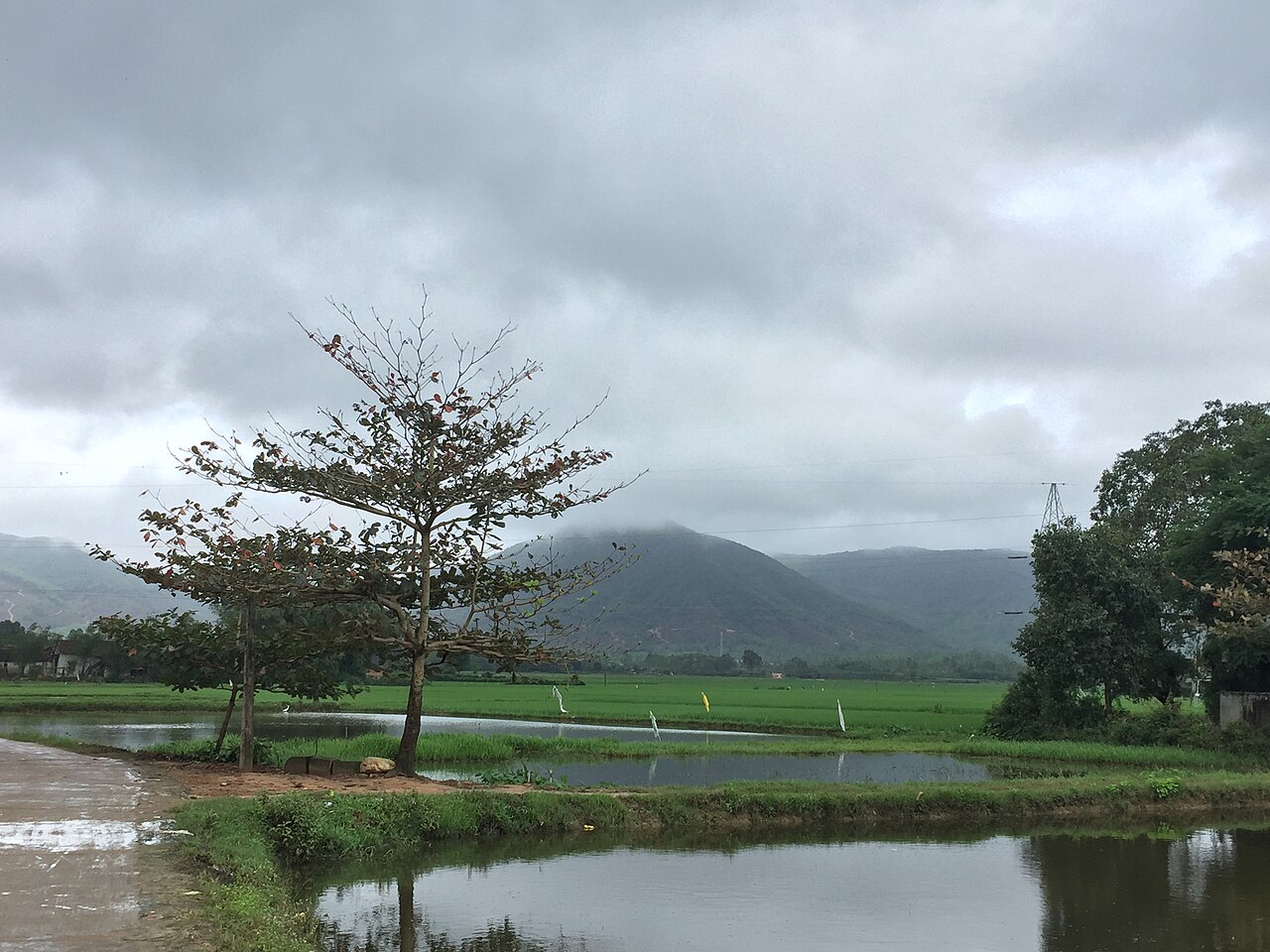
The place itself has not changed, and this page continues to cover it.
National Assembly Resolution 202/2025/QH15 on the rearrangement of provincial-level administrative units
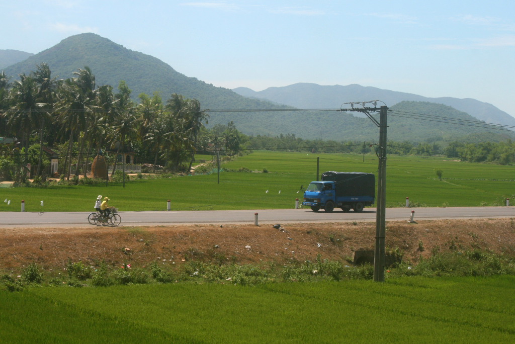
Administrative status
Binh Dinh existed as a provincial-level administrative unit until 30 June 2025, when Vietnam restructured its 63 provinces into 34 under a nationwide reform. The territory of the former Binh Dinh province is now administered as part of Gia Lai, which absorbed it on 1 July 2025. The district tier was abolished at the same time, so the area now operates under a two-tier province/commune system.
This administrative change does not mean the places within the former province have moved, been renamed or altered. Quy Nhon, the Cham towers, the beaches and the hill roads remain where they have always been. Travel information, addresses and geography specific to the former Binh Dinh area continue to be relevant; only the provincial governance label has changed.
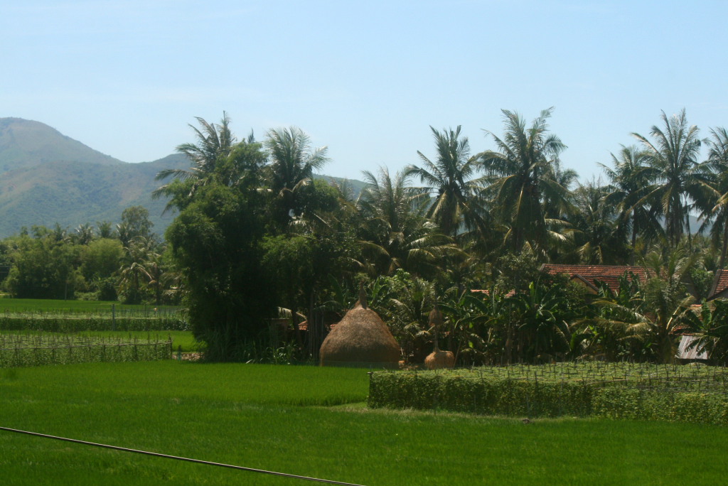
Geography and character
The former province stretches roughly 110 km along the South China Sea coast, with a narrow coastal plain backed by the eastern slopes of the Truong Son range. The terrain moves quickly from white-sand beaches and lagoons near Quy Nhon to forested uplands in the west, where elevations rise considerably above the coastal mean. The average elevation across the territory sits at around 466 m when interior highlands are included.
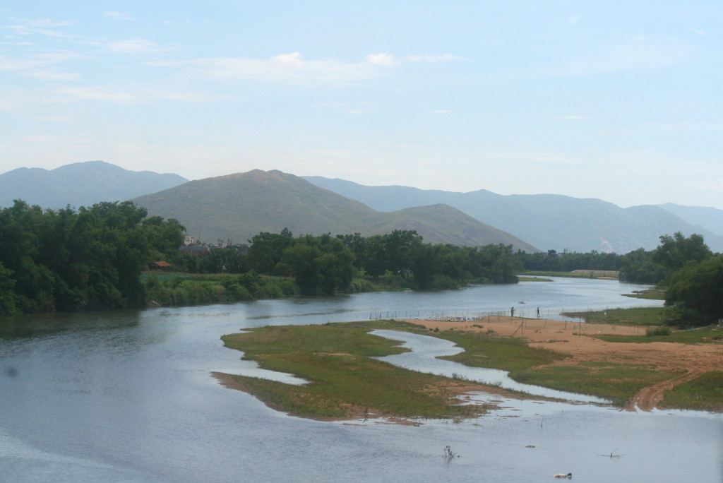
The coast is defined by several distinct bays separated by rocky headlands, which historically gave the region a degree of natural shelter and made it attractive to both the Cham kingdom and later Vietnamese settlers. Inland, rivers including the Kon and the La Tinh cut through valleys that remain largely agricultural, producing rice, sugar cane and aquaculture products along tidal flats.
History and cultural heritage
Binh Dinh formed the heartland of the Cham civilisation's southern territories from roughly the 10th century onward. The Duong Long tower complex near Tay Son is among the tallest surviving Cham brick structures in Vietnam, and the Banh It towers on a hilltop south of the former provincial capital offer a visible landmark from the coastal plain. These sites represent a distinct architectural tradition using fired brick with lime-and-sugar mortar, and many details of their construction technique remain the subject of scholarly debate.
The area is also associated with the Tay Son Rebellion of the 18th century, which produced three brothers — Nguyen Nhac, Nguyen Hue and Nguyen Lu — who briefly unified Vietnam before the Nguyen dynasty reversed their gains. Nguyen Hue, who took the imperial name Quang Trung, is celebrated here and in national memory for defeating a Qing Chinese intervention in 1789. The Tay Son district, now a commune cluster, holds a museum and annual festival tied to this history.
Binh Dinh is also widely regarded as one of the primary homes of Vo Co Truyen, a Vietnamese traditional martial art. Festivals and demonstration events associated with this tradition are held around the Lunar New Year period.
Climate and when to visit
The coastal lowlands follow a pattern typical of south-central Vietnam but with a pronounced late-year wet season. Temperatures rise through spring and reach their warmest point across June, July and August, when hot, relatively humid conditions prevail. Rainfall during these months is moderate rather than torrential.
The wet season peaks sharply in October, November and December, with November typically the wettest month. The coast is exposed to north-east monsoon-driven rainfall and occasional typhoons from September onward. January and February are cooler and considerably drier, making the early part of the year the most reliably pleasant for coastal activity. March and April see temperatures climbing again with low rainfall, and this window is often cited as a favourable period. Visitors planning beach-focused stays generally prefer the stretch from February through May; those coming for cultural events around Tet should account for potential overcast or cool days in January.
Getting there and around
Quy Nhon is the main entry point for the former province. Phu Cat Airport, located north of the city, receives domestic flights from Hanoi and Ho Chi Minh City, with the journey from either hub taking roughly one hour by air. The airport is served by Vietnam Airlines and Vietjet; flight frequency and scheduling change seasonally.
The North–South railway passes through the area, with Dieu Tri station serving as the main rail stop for Quy Nhon; the station sits a short distance from the city centre. Sleeper trains connect the region to both Hanoi and Ho Chi Minh City, with journey times varying considerably by train class. Long-distance buses operate on the same corridor and connect to Da Nang in the north and Nha Trang in the south.
Within the former province, travel between the coast and the inland tower sites typically requires a hired vehicle or motorbike, as public bus coverage of rural areas is limited. Roads into the upland communes have improved substantially but conditions can deteriorate during the heavy rain months.
What to see and do
The Cham towers are the most historically distinctive sites in the area. Banh It (four towers on a hill near the town of Phu My), Duong Long (three towers in Tay Son, considered the tallest Cham towers extant in Vietnam) and Canh Tien (a single tall sanctuary tower) each present different phases of Cham construction. They are not heavily touristed and some require walking on uneven ground to access fully.
The coast offers a series of beaches, with those near Quy Nhon itself being the most accessible; beaches at Eo Gio and Ky Co, south of the city, involve a boat crossing or a road journey and are known for their clear water and rocky formations. The Thi Nai Lagoon, one of the largest coastal lagoons in Vietnam, sits immediately north of Quy Nhon and supports an active fishing community visible from a long causeway bridge.
The Tay Son Museum in An Khe area covers the rebellion's history with artefacts and period documents, and hosts a martial arts performance programme linked to the lunar calendar. Traditional bai choi singing, a form of call-and-response folk music associated with a tile-matching game, is also practised here and is inscribed on UNESCO's intangible cultural heritage list.
Common misunderstandings
Visitors sometimes arrive expecting Binh Dinh to function as a named administrative unit and find that official signage, government offices and logistics now refer to Gia Lai province. Addresses and commune names are unchanged, but provincial references on forms and transport bookings will reflect the merged entity from mid-2025 onward.
The Cham towers are spread across a wide area, and some visitors underestimate the distances involved in visiting more than one complex in a day. Duong Long in particular is a substantial drive inland from the coast, and the roads are not always straightforward to navigate without local guidance or a reliable offline map.
The beach season here does not align with the south of Vietnam. Someone who travels from Ho Chi Minh City expecting the same sunny dry-season conditions in November or December will encounter the wettest part of the coastal year. Conversely, travellers who assume the summer heat means peak season should note that the beaches are quieter than they might expect, since domestic tourist peaks here follow the Tet and April holidays rather than summer. Seafood in this area — particularly banh xeo (a crispy rice-flour pancake), bun ca (fish noodle soup) and fresh shellfish — reflects a distinctly local culinary style rather than the better-known cooking of Hue or Hoi An.
月別気候
長期平均値であり、予報ではありません。 参照期間: 2015–2024. 出典: ERA5 reanalysis (Copernicus) via the Open-Meteo archive API.
Show the numbers
| 月 | 最高気温 °C | 最低気温 °C | 降水量(mm) | 雨天日数 | Humidity % |
|---|---|---|---|---|---|
| January | 22.6 | 17.4 | 92 | 16 | 85 |
| February | 23.8 | 17.4 | 48 | 10 | 84 |
| March | 27.2 | 19.3 | 43 | 8 | 81 |
| April | 30.0 | 21.2 | 51 | 10 | 78 |
| May | 31.6 | 23.1 | 135 | 18 | 76 |
| June | 32.5 | 23.9 | 105 | 17 | 70 |
| July | 31.5 | 23.5 | 157 | 20 | 72 |
| August | 31.8 | 23.5 | 159 | 19 | 72 |
| September | 29.2 | 22.2 | 285 | 24 | 82 |
| October | 26.5 | 20.9 | 342 | 26 | 86 |
| November | 24.7 | 20.0 | 383 | 24 | 88 |
| December | 22.8 | 18.5 | 259 | 22 | 86 |
Also known as / see also
現在は一部
参照元
出典
- ERA5 climate normals — Copernicus / Open-Meteo (CC BY 4.0) アクセス日 30 August 2026
Supports: monthly temperature and rainfall normals, and elevation - Binh Dinh (Q36693) — Wikidata (CC0 1.0) アクセス日 30 August 2026
Supports: coordinates, area, population - Binh Dinh — Wikipedia (CC BY-SA 4.0) アクセス日 30 August 2026
Supports: background
Current 最終確認: 31 August 2026. Rules, fares and prices change — check the official source before acting on anything here. Report a mistake.
Picture credits (4)
Làng quê Tây Sơn, vi:User:Quangnguyen10, Public domain, Wikimedia Commons · Binh Dinh NatRoad1, BertholdD, CC BY-SA 3.0, Wikimedia Commons · Binh Dinh farm, BertholdD, CC BY-SA 3.0, Wikimedia Commons · Binh Dinh scenery, BertholdD, CC BY-SA 3.0, Wikimedia Commons