2025 constitutional amendment and Law on Organisation of Local Government establishing a two-tier local government
Administrative status
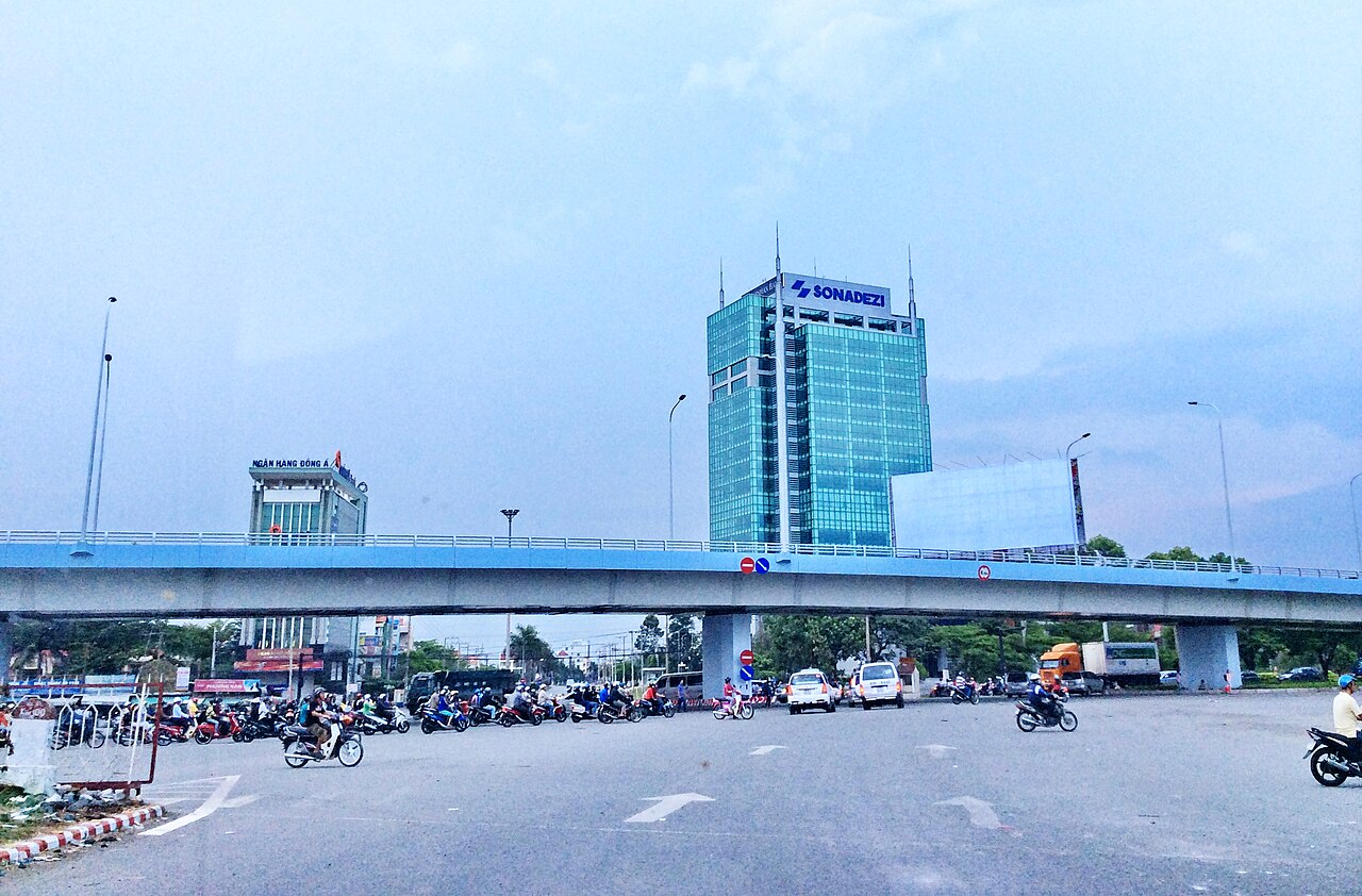
Until 30 June 2025, Biên Hòa was a provincial city — the capital of Đồng Nai province. Under Vietnam's administrative reorganisation of 1 July 2025, the district tier was abolished and provincial-level units were consolidated nationally. Biên Hòa no longer exists as a distinct administrative unit; the area is now governed directly under Đồng Nai province through the new two-tier province/commune system.
The city itself has not moved, been renamed or changed in character. The streets, neighbourhoods, factories, temples and river crossings remain exactly where they were. What has changed is the layer of government above the commune level.
Character and economy
Biên Hòa is primarily an industrial and manufacturing city. It contains some of Vietnam's oldest and largest industrial zones, including Biên Hòa 1 and Biên Hòa 2, which date to the pre-reunification era and have expanded considerably since economic liberalisation in the late 1980s. Factories producing textiles, electronics, food processing and chemicals are major employers.
The city has a substantial urban population and the infrastructure — roads, markets, hospitals, universities — of a regional centre. It is not oriented towards international tourism, and most visitors arrive for business, family reasons or as a transit point rather than as leisure travellers.
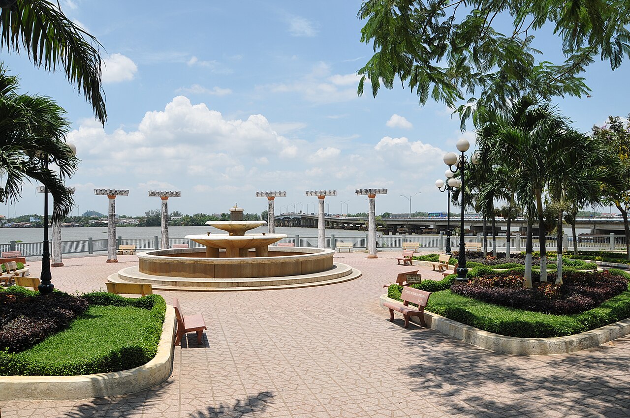
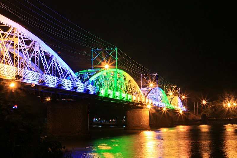
The Đồng Nai River runs along and through the city, and several older bridges mark the historic crossing points between the city's districts.
History and heritage
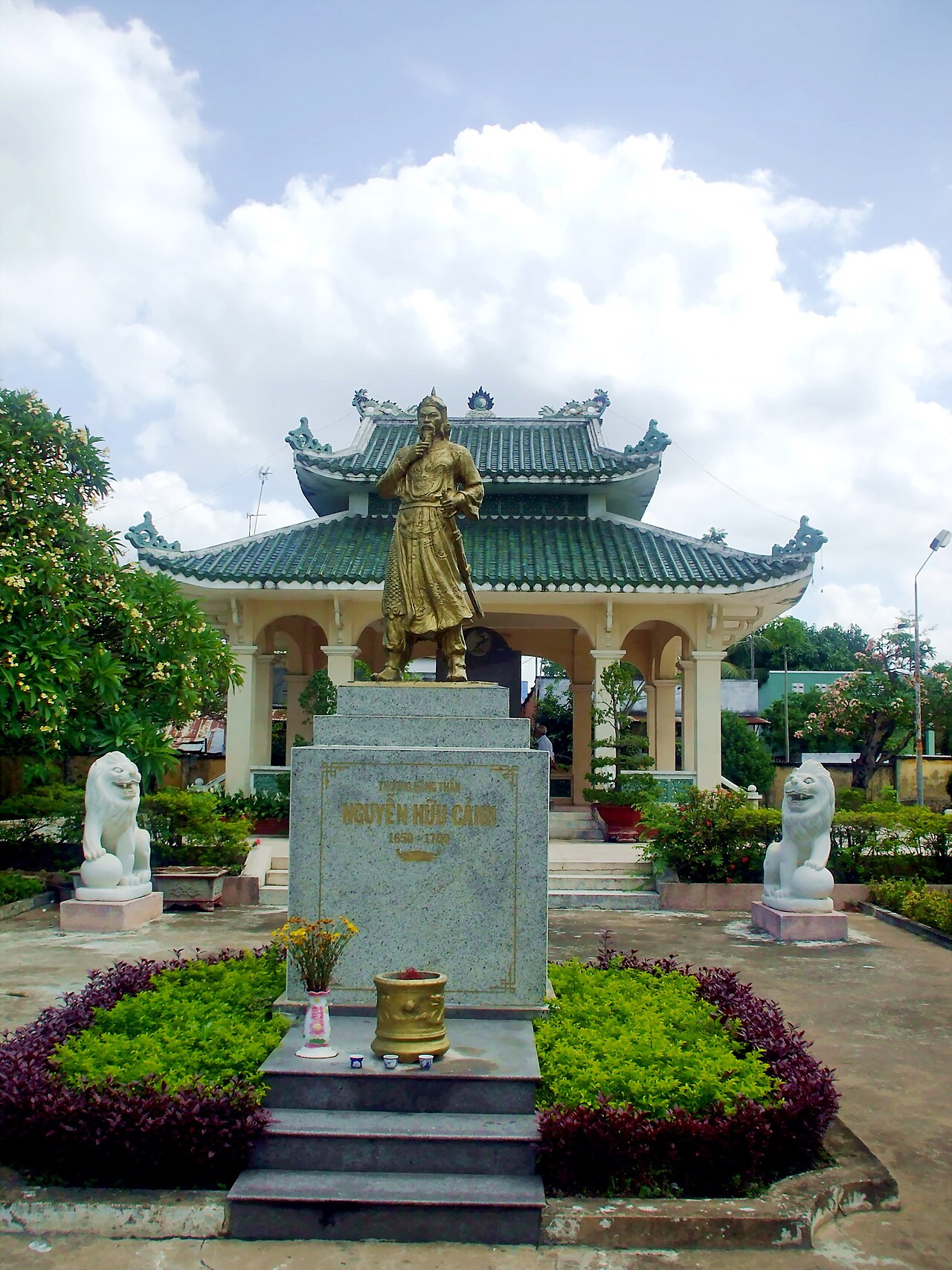
Biên Hòa is one of the oldest urban settlements in southern Vietnam, with roots going back to the late seventeenth century when Vietnamese settlers, alongside groups of Chinese migrants fleeing the fall of the Ming dynasty, established communities along the Đồng Nai River. The area was formally incorporated into Vietnamese administrative structures during the Nguyễn lords' period of southern expansion.
Under French colonial rule, Biên Hòa became an administrative and light industrial centre. The Biên Hòa Museum (Bảo tàng Đồng Nai) holds collections relating to the region's archaeology, including artefacts from the prehistoric Óc Eo culture, as well as ethnographic and revolutionary-period exhibits.
The city also has a number of pagodas and communal houses (đình) that reflect its Kinh and Hoa (ethnic Chinese) heritage, some dating to the eighteenth and nineteenth centuries.
Getting there and around
Biên Hòa is connected to Ho Chi Minh City by National Route 1 and by the North–South railway, on which it is a scheduled stop. The rail journey from Sài Gòn station is short. Road travel by bus or private vehicle is also common, though the route can be heavily congested, particularly around the city's industrial zones during shift-change hours.
Within the city, motorbike taxis, ride-hailing apps and local buses serve most areas. The city is spread out, and distances between the older central area and the newer industrial periphery are significant enough to make on-foot navigation impractical for most trips.
Long Thành International Airport, under construction in neighbouring Long Thành, is expected to serve the broader Đồng Nai region once operational, though its completion timeline has been subject to revision and travellers should verify current status independently.
Climate and when to visit
Biên Hòa shares the climate of Vietnam's southeast lowlands: a tropical monsoon pattern with a distinct wet season roughly from May to November and a dry season from December to April. Temperatures remain high year-round, with the hottest period typically falling in March and April before the rains arrive.
The wet season brings regular afternoon and evening downpours that can cause localised flooding in low-lying parts of the city. The dry season is more reliably comfortable for outdoor activity, though the heat remains significant. Humidity is elevated throughout the year.
For those visiting on business, Vietnamese public holidays — particularly Tết (Lunar New Year) — will see factories and offices closed and transport heavily booked. Prices vary by season.
Common misunderstandings
Visitors sometimes arrive expecting a city with a developed tourist infrastructure comparable to Ho Chi Minh City or even smaller heritage towns like Hội An. Biên Hòa does not have that. Signage in languages other than Vietnamese is limited, international-standard accommodation options are fewer, and the city's points of interest require some effort to locate and access.
A frequent confusion concerns the city's relationship with Đồng Nai: Biên Hòa was the provincial capital and effectively the urban core of the province, but the two names refer to different things. Since July 2025, references to Biên Hòa as an administrative unit are out of date; the governing authority is now Đồng Nai province directly.
The legacy of the Biên Hòa Air Base, used extensively during the American war period and a significant source of dioxin contamination in surrounding soil, is an ongoing environmental issue. Remediation efforts have been underway, but the situation remains contested in terms of scope and progress.
Where it is
Also known as / see also
Fuentes
- Biên Hòa (Q19316) — Wikidata (CC0 1.0) consultado 30 August 2026
Supports: coordinates, area, population - Biên Hòa — Wikipedia (CC BY-SA 4.0) consultado 30 August 2026
Supports: background
Current Última verificación: 31 August 2026. Rules, fares and prices change — check the official source before acting on anything here. Report a mistake.
Picture credits (4)
trungydang, CC BY 3.0, Wikimedia Commons · Đền thờ Nguyễn Hữu Cảnh tại Cù lao Phố, Bùi Thụy Đào Nguyên, CC BY-SA 3.0, Wikimedia Commons · ChieuTimViet, CC BY 3.0, Wikimedia Commons · Cau Ghenh Bien Hoa vao nam 2010, Nguyễn Mạnh Tiến, CC BY 3.0, Wikimedia Commons