The place itself has not changed, and this page continues to cover it.
National Assembly Resolution 202/2025/QH15 on the rearrangement of provincial-level administrative units
Administrative note
Ben Tre was a province in its own right until 30 June 2025. On 1 July 2025, as part of Vietnam's nationwide consolidation from 63 provincial-level units to 34, Ben Tre merged with Vinh Long to form a single enlarged Vinh Long province. The district tier has been abolished nationally; administration now runs directly from province to commune level. The place itself — its rivers, villages, coconut groves and roads — is unchanged by the administrative reorganisation.
Character and setting
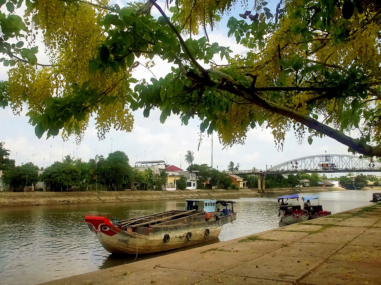
Ben Tre occupies a low-lying riverine landscape barely above sea level, laced with tidal canals that subdivide the land between the Tien River to the north and the Co Chien to the south. The dominant feature is the coconut palm: groves line almost every waterway and road, and the nut underpins the local economy at every scale, from smallholder gardens to factory workshops.
Compared with Ho Chi Minh City-organised day tours that deposit dozens of visitors at set-piece stops around My Tho, Ben Tre receives fewer tourists. The canal network is denser and the sampan routes less rehearsed, which gives boat trips a less staged character. Overnight stays are available in family-run homestays on the islands, making a one- or two-night visit more practical than a rushed day trip.
Coconut industry and workshops
The coconut-processing cottage industry is the detail that distinguishes Ben Tre from other Mekong destinations. Along the canals in and around the town of Ben Tre and on Tan Thach island, small workshops produce kẹo dừa (coconut candy), a chewy confection made from coconut milk, malt syrup and sugar, wrapped by hand or by simple machine. Visitors can watch the candy-pulling process, which involves stretching and folding a hot sugar-coconut mass until it reaches the correct consistency.
Beyond candy, workshops press coconut oil, weave coconut-leaf panels used in rural construction, and carve decorative items from the hard shell. The fibre (coir) is twisted into rope. A walk or short boat ride between two or three such workshops gives a complete picture of how fully one crop is utilised. Southern Vietnamese cuisine incorporates coconut milk in many dishes, and Ben Tre's role as supplier to the wider delta is worth noting in that context.
Getting on the water
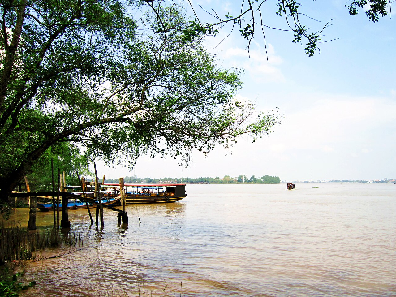
The main waterway experience in Ben Tre is a sampan trip on the smaller canals — rạch — that branch off the main rivers. These are narrow enough that the overhanging coconut fronds nearly touch overhead. Boats are typically flat-bottomed wooden sampans rowed or poled by local operators, though some trips use small motorised craft for longer stretches.
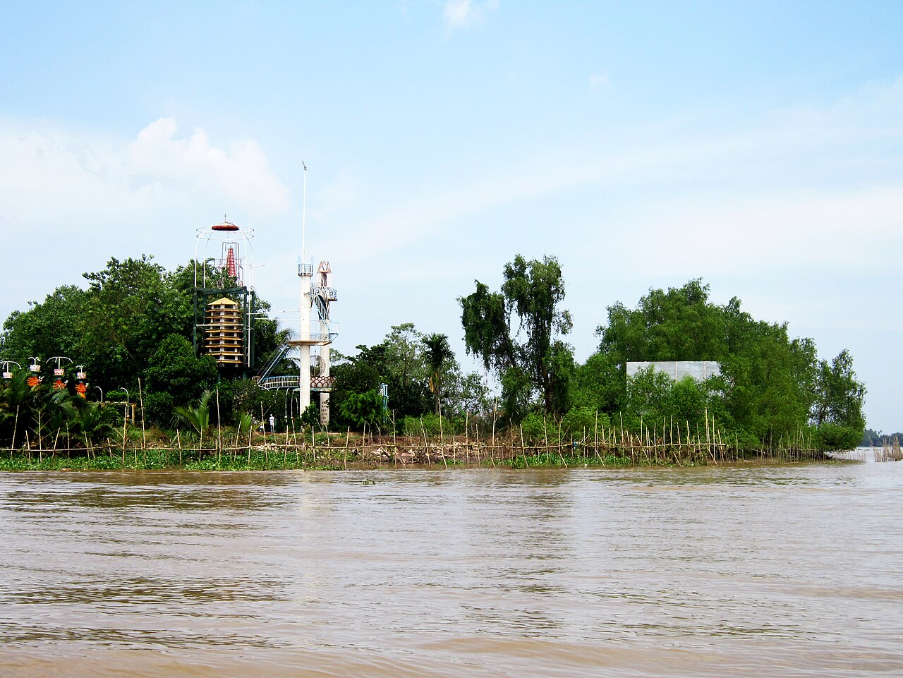
Common routes pass through Ham Luong island and around Tan Thach, stopping at coconut workshops and orchard gardens. Some longer itineraries continue toward the Co Chien River. Departure points are generally the town's central jetty area or directly from homestay properties on the islands. The pace is slow and the canal width limits vessel size, which keeps the experience small-scale relative to the larger tourist-boat routes near Can Tho.
Cycling the dykes
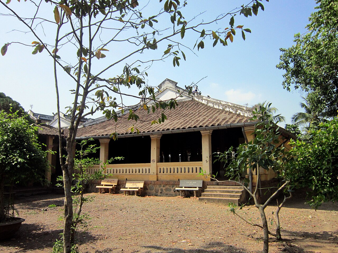
The earthen dykes that control water flow through Ben Tre's islands double as narrow rural roads, wide enough for bicycles and motorbikes but not for cars in most sections. Cycling these dyke paths is a practical way to move between orchards, villages and workshops without returning to the main tarmac roads. The terrain is entirely flat, which makes cycling accessible regardless of fitness level.
Hire bicycles are available in town and through homestay operators on the islands. A half-day route might link the town centre to Tan Thach island via the Ham Luong Bridge, passing coconut groves, small family temples and river-facing stilt houses. Early morning rides avoid midday heat and coincide with local market activity at village junctions.
Climate and when to visit
Ben Tre has a classic southern Vietnamese monsoon pattern. The year divides sharply into a dry season from roughly November through April and a wet season from May through October. Temperatures stay warm year-round, with the hottest months in March and April before the rains arrive. The coolest and driest months are December through February, when rainfall is minimal and humidity drops noticeably.
The wet season peaks in September and October, when rainfall is heaviest and some low-lying canal paths may flood temporarily. July and August are also very wet. Despite the rain, the delta remains navigable and green throughout the wet months; some visitors find the landscape more dramatic and the tourist numbers lower. The period from November to April is generally considered the most comfortable for outdoor activity such as cycling and boat trips. For a broader view of southern weather patterns, see When to go: weather by region.
Practical notes
Ben Tre town is roughly 85 km south of Ho Chi Minh City by road, crossing the Tien River at My Tho. The journey takes between two and three hours depending on traffic and the crossing used; the Ham Luong Bridge on Provincial Road 60 allows direct road access without a ferry. Vinh Long is accessible to the north, and Can Tho further west, making Ben Tre a viable stop on a delta circuit.
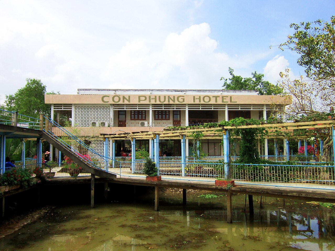
Accommodation ranges from guesthouses in the town centre to island homestays, the latter typically including meals and boat arrangements. Mobile data coverage is adequate in the town and on the main islands; see SIM cards and eSIMs for connectivity options. ATMs are available in town; cash remains necessary for smaller workshops and rural homestays. See Money, ATMs and cards and Vietnam e-visa for entry requirements. Prices vary by season and by whether transport and guiding are included. Safety and common scams covers general precautions relevant across the delta region.
Khí hậu theo tháng
Số liệu trung bình dài hạn, không phải dự báo. Kỳ tham chiếu: 2015–2024. Nguồn: ERA5 reanalysis (Copernicus) via the Open-Meteo archive API.
Show the numbers
| Tháng | Nhiệt độ cao °C | Thấp °C | Lượng mưa (mm) | Ngày mưa | Humidity % |
|---|---|---|---|---|---|
| January | 30.2 | 22.9 | 32 | 6 | 78 |
| February | 31.0 | 23.2 | 9 | 2 | 74 |
| March | 32.4 | 24.3 | 17 | 3 | 74 |
| April | 33.4 | 25.3 | 74 | 11 | 76 |
| May | 32.7 | 25.7 | 208 | 25 | 83 |
| June | 31.3 | 25.0 | 247 | 28 | 87 |
| July | 30.3 | 24.7 | 305 | 30 | 89 |
| August | 30.6 | 24.7 | 287 | 29 | 88 |
| September | 30.3 | 24.4 | 367 | 29 | 90 |
| October | 30.0 | 24.2 | 359 | 28 | 90 |
| November | 30.1 | 24.1 | 168 | 19 | 86 |
| December | 29.9 | 23.2 | 82 | 11 | 82 |
Where it is
Also known as / see also
Lân cận
Hiện là một phần của
Được tham chiếu bởi
Các nguồn
- ERA5 climate normals — Copernicus / Open-Meteo (CC BY 4.0) đã truy cập 30 August 2026
Supports: monthly temperature and rainfall normals, and elevation - Ben Tre (Q33366) — Wikidata (CC0 1.0) đã truy cập 30 August 2026
Supports: coordinates, area, population - Ben Tre — Wikipedia (CC BY-SA 4.0) đã truy cập 30 August 2026
Supports: background
Current Đã xác minh lần cuối: 31 August 2026. Rules, fares and prices change — check the official source before acting on anything here. Report a mistake.
Picture credits (6)
Kênh Chợ Lách, Bùi Thụy Đào Nguyên, Public domain, Wikimedia Commons · Nhà thờ dòng Ki Tô Vua, Bùi Thụy Đào Nguyên, Public domain, Wikimedia Commons · Một khách sạn ở cồn Phụng, Bùi Thụy Đào Nguyên, CC BY-SA 3.0, Wikimedia Commons · Nơi hành đạo của ông Đạo Dừa, Bùi Thụy Đào Nguyên, CC BY-SA 3.0, Wikimedia Commons · Tàu du lịch cặp bến cồn Phụng, Bùi Thụy Đào Nguyên, CC BY-SA 3.0, Wikimedia Commons · Đình Tân Thạch, Bùi Thụy Đào Nguyên, CC BY-SA 3.0, Wikimedia Commons