The place itself has not changed, and this page continues to cover it.
National Assembly Resolution 202/2025/QH15 on the rearrangement of provincial-level administrative units
Administrative status
Bac Lieu existed as a province-level unit for most of the modern administrative history of Vietnam. On 1 July 2025 it merged with Ca Mau to form an enlarged Ca Mau province, as part of Vietnam's nationwide consolidation from 63 provincial-level units to 34. The district tier was abolished at the same time, and the area now operates under a two-tier province/commune system.
The merger is an administrative change. Towns, landscapes, roads, waterways and cultural sites within the former province retain their names and locations. Travellers visiting Bac Lieu town or the salt fields are visiting the same places as before; they simply fall under the jurisdiction of Ca Mau province.
Character and setting
Bac Lieu sits at almost exactly sea level on the southern tip of the Mekong Delta peninsula, bordered by the Gulf of Thailand to the west and the East Sea (South China Sea) to the east. The terrain is almost entirely flat, threaded by canals and dominated by aquaculture ponds and salt paddocks rather than rice fields — a landscape that sets it apart from the paddy-dominated provinces further north in the delta.
The provincial capital, Bac Lieu town, is a modest riverfront city with French-era architecture surviving in a few streets near the market. The area is associated in Vietnamese popular memory with the story of the công tử Bạc Liêu — the "Bac Lieu playboy" — a wealthy landowner's son from the early 20th century whose extravagant spending became legendary and passed into idiom.
Shrimp farming has replaced much of the former salt and rice economy over recent decades, and industrial-scale brackish-water ponds cover large areas of the coastal lowlands. The two activities — salt and shrimp — still coexist and give the area a particular economic character within the delta.
Salt fields and key sites
The Bac Lieu salt fields (đồng muối Bạc Liêu) are among the most photographed in the Mekong Delta. Workers rake and pile salt by hand on large flat paddocks, and the process is most active during the dry season between roughly January and April, when sunlight and wind are most reliable for evaporation. The visual impact — white salt mountains against a flat horizon — is most pronounced in the early morning.
Bac Lieu town contains the former residence of the công tử family, a French-influenced villa near the waterfront that functions as a small heritage site and guesthouse. The Bac Lieu bird sanctuary (vườn chim Bạc Liêu), a mangrove and wetland area on the coastal fringe, supports populations of herons, egrets and storks, most visible in the breeding season between roughly November and April.
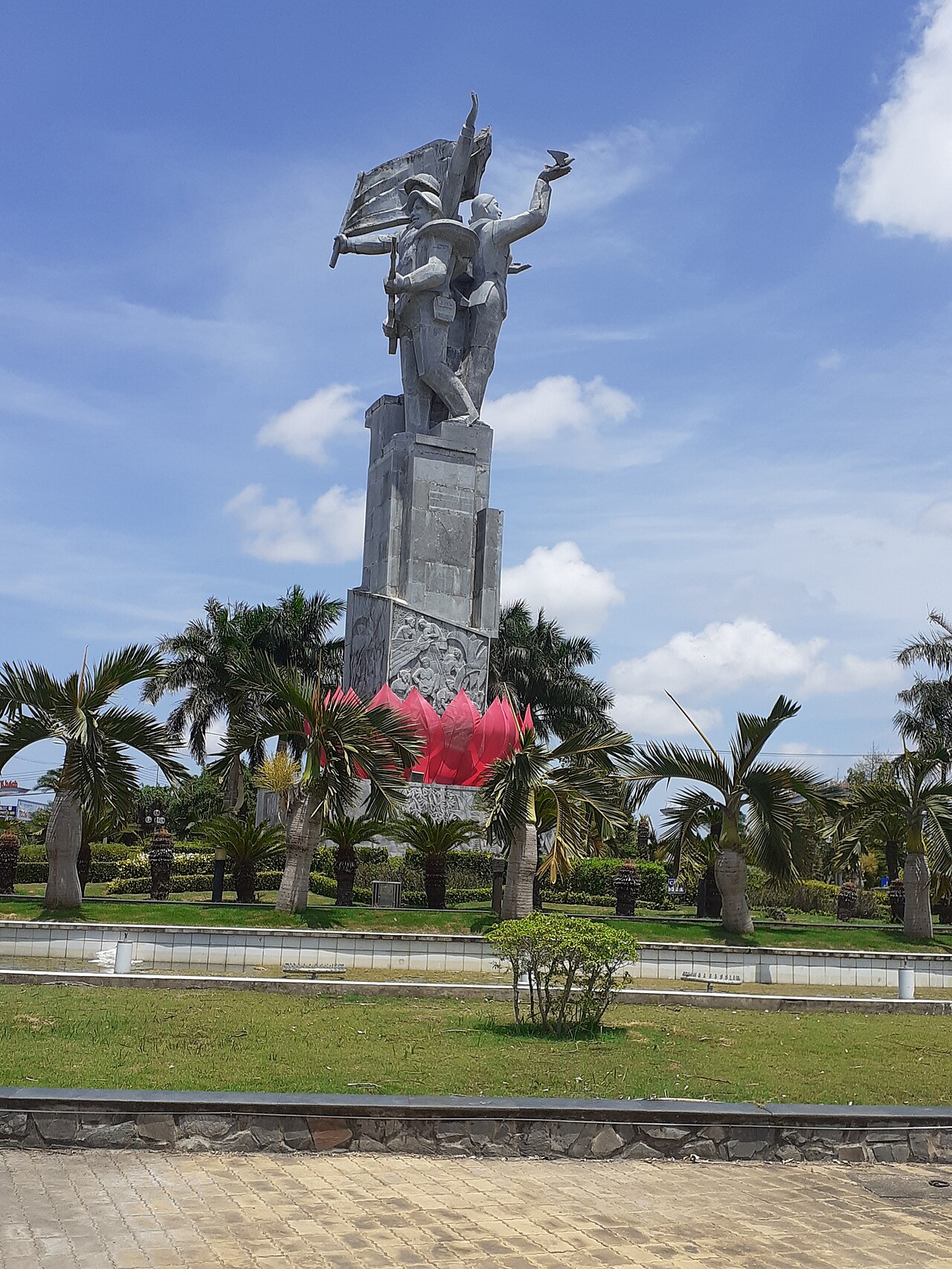
The Hồ Chí Minh Trail on the Sea — a network of maritime supply routes used during the American War — has a small museum and monument in the area commemorating the covert coastal logistics operation, which used Bac Lieu's waters extensively.
Đờn ca tài tử music
Bac Lieu is one of the acknowledged heartlands of đờn ca tài tử Nam Bộ, the southern Vietnamese chamber music tradition recognised by UNESCO as an Intangible Cultural Heritage of Humanity in 2013. The form developed across the Mekong Delta in the late 19th century from court music influences, and Bac Lieu's most celebrated figure in the tradition is Cao Văn Lầu (1892–1976), a composer whose piece Dạ Cổ Hoài Lang — later evolved into the operatic form vọng cổ — became one of the most performed works in the southern Vietnamese repertoire.
A monument and small museum dedicated to Cao Văn Lầu stands in Bac Lieu town. Performances of đờn ca tài tử take place in informal and semi-formal settings; the tradition is participatory rather than purely presentational, with listeners often joining in. Finding a live session typically requires local enquiry rather than consulting a fixed schedule.
Climate and when to visit
Bac Lieu has a tropical monsoon climate with two clearly defined seasons. Temperatures remain warm throughout the year, with the hottest and driest period falling in the first four months, peaking in March and April. Rainfall is negligible in January and February, making this period the most comfortable for outdoor activity at the salt fields and in the bird sanctuary.
The wet season runs from May through November, with the heaviest rainfall concentrated between September and October. Monthly totals during this period are substantial, and localised flooding of low-lying areas and roads is common. Coastal winds also increase. Despite the rain, temperatures remain relatively stable through the monsoon months; humidity, rather than heat, characterises this period.
December sees rainfall declining sharply, forming a transition into the dry season. Visitors interested in salt harvesting should aim for the dry months; birdwatchers will find the sanctuary more rewarding from November onward when migratory species are present alongside resident ones.
Getting there and around
Bac Lieu town is connected to the national road network via National Highway 1 and a series of Mekong Delta routes. The most common approach from Ho Chi Minh City is by road, with bus services running through the delta via Can Tho or via Soc Trang. Journey times vary considerably depending on traffic, ferry crossings if any remain, and route taken; the opening of the Mekong Delta expressway network has progressively shortened road times from the north.
There is no commercial airport in the Bac Lieu area; the nearest airports are at Ca Mau and Can Tho, both of which have domestic services. Ca Mau airport is the closer of the two.
Within the area, motorbike hire and hired cars with drivers are the practical options for reaching the salt fields, the bird sanctuary and coastal sites, as public transport does not serve these points reliably. Canal boat trips are available for some routes and offer a different perspective on the aquaculture landscape.
Common misunderstandings
The province no longer exists administratively, but this is frequently not reflected in navigation apps, older maps or transport company listings, which may continue to label the area as Bac Lieu province. The governing authority is now Ca Mau province, though the town and its surroundings are unchanged on the ground.
The salt harvest is seasonal. Visitors who arrive in the wet season expecting to see the salt fields in operation will find largely empty or flooded paddocks. The photogenic harvest activity is a dry-season phenomenon.
Bac Lieu town is not a large city. Facilities, accommodation variety and English-language signage are limited compared with Can Tho or Ho Chi Minh City. Most hotels and guesthouses are small and locally oriented.
The công tử Bạc Liêu story is a cultural reference, not a museum experience. The villa is a real place, but the narrative around it is part folklore, and accounts of specific events vary between sources.
各月气候
长期平均值,非预测数据。 参考周期: 2015–2024. 来源: ERA5 reanalysis (Copernicus) via the Open-Meteo archive API.
Show the numbers
| 月份 | 最高气温 °C | 最低气温 °C | 降雨量(毫米) | 降雨天数 | Humidity % |
|---|---|---|---|---|---|
| January | 30.2 | 23.2 | 43 | 9 | 76 |
| February | 31.3 | 23.3 | 18 | 5 | 73 |
| March | 32.7 | 24.2 | 27 | 6 | 73 |
| April | 33.4 | 25.2 | 78 | 14 | 75 |
| May | 32.8 | 25.6 | 212 | 27 | 80 |
| June | 31.3 | 25.1 | 269 | 28 | 84 |
| July | 30.3 | 24.7 | 306 | 29 | 86 |
| August | 30.6 | 24.8 | 281 | 29 | 85 |
| September | 30.3 | 24.4 | 348 | 29 | 86 |
| October | 30.3 | 24.1 | 361 | 29 | 87 |
| November | 30.0 | 24.1 | 215 | 23 | 85 |
| December | 29.6 | 23.4 | 113 | 14 | 80 |
现为……的一部分
被以下页面引用
来源
- ERA5 climate normals — Copernicus / Open-Meteo (CC BY 4.0) 访问于 30 August 2026
Supports: monthly temperature and rainfall normals, and elevation - Bac Lieu (Q36658) — Wikidata (CC0 1.0) 访问于 30 August 2026
Supports: coordinates, area, population - Bac Lieu — Wikipedia (CC BY-SA 4.0) 访问于 30 August 2026
Supports: background
Current 最后核实: 31 August 2026. Rules, fares and prices change — check the official source before acting on anything here. Report a mistake.
Picture credits (4)
Tượng Địa Tạng (Bạc Liêu), Bùi Thụy Đào Nguyên, CC BY-SA 3.0, Wikimedia Commons · Bạc Liêu windpower farm, [Tycho] talk , http://shansov.net, CC BY-SA 3.0, Wikimedia Commons · Tượng đài Chiến Thắng Bạc Liêu, HaThanhPhuoc, CC BY-SA 4.0, Wikimedia Commons · Tượng đài Chiến Thắng Bạc Liêu 90 năm thành lập Đảng cộng sản Việt Nam, HaThanhPhuoc, CC BY-SA 4.0, Wikimedia Commons