The place itself has not changed, and this page continues to cover it.
National Assembly Resolution 202/2025/QH15 on the rearrangement of provincial-level administrative units
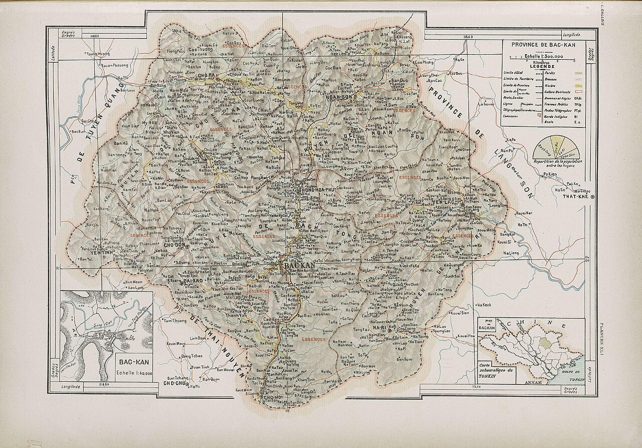
Bac Kan (Bắc Kạn) was a landlocked province in the northeastern highlands of Vietnam, bordered by dense forested ridges and deep river valleys. Sparsely populated relative to its size, it was home to several ethnic minority communities including the Tày, Nùng and Dao. The province is now administered as part of Thai Nguyen, following the national consolidation of provincial units on 1 July 2025, though the places within it — including Ba Be National Park — remain as they were.
Administrative change (2025)
On 1 July 2025, the National Assembly of Vietnam merged Bac Kan province into Thai Nguyen as part of a nationwide reorganisation that reduced Vietnam's 63 provinces and centrally governed cities to 34 units. The district tier was abolished at the same time, replaced by a two-tier system of province and commune or ward.
For visitors, the practical effect is that official addresses, administrative contacts and some signage in the former Bac Kan territory will reflect Thai Nguyen province. The geography, roads, parks and villages are unchanged. This page documents the former province as a geographical and historical unit; current administrative information is held under Thai Nguyen.
What Bac Kan is known for
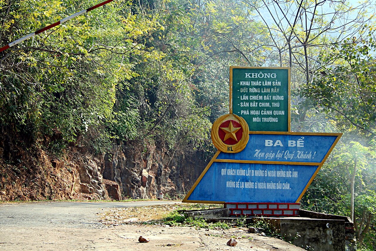
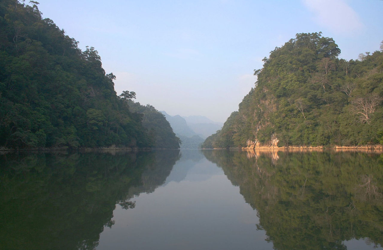
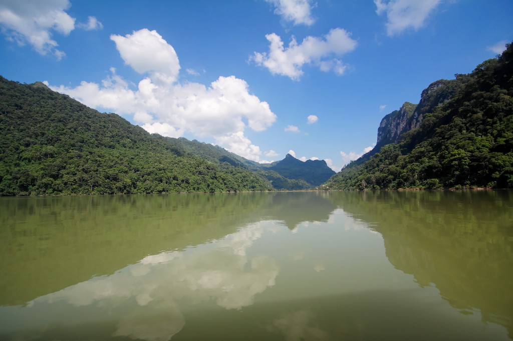
The dominant attraction within the former province is Ba Be National Park, which contains Ba Be Lake — one of the largest natural freshwater lakes in Vietnam and one of a small number of such lakes in Southeast Asia. The lake sits inside a karst landscape of limestone peaks, cave systems and river gorges. The park is recognised under the Ramsar Convention as a wetland of international importance and supports populations of freshwater fauna alongside significant forest cover.
Beyond the national park, the territory is characterised by traditional Tày stilt-house villages, terraced agriculture and market towns where ethnic minority communities trade. The provincial capital, Bac Kan town, served primarily as a transit and administrative centre rather than a destination in its own right. The region was also a notable base of operations during the First Indochina War, and some sites retain historical significance from that period.
Getting there and away
Bac Kan town lies roughly 160 km north of Hanoi by road. The main route follows National Highway 3 through Thai Nguyen city before climbing into the highlands. The journey typically takes between three and four hours by private vehicle, depending on traffic leaving Hanoi and road conditions in the mountains.
There is no rail connection to the former province, and no commercial airport served it. Travellers arrive almost entirely by road: either by private car or motorbike, by rented vehicle from Hanoi, or on public bus services that depart from Hanoi's Gia Lam or My Dinh bus stations. Bus frequency is limited compared with more-travelled routes, and services into the interior — particularly toward Ba Be — require onward connections or private transport from Bac Kan town. The road to Ba Be National Park from Bac Kan town covers approximately 60 km and can take two hours or more on mountain roads.
When to go
The former province has a subtropical highland climate with four loosely defined seasons. Winters (December to February) are cool and sometimes misty, with temperatures in the highlands occasionally dropping near 10 °C. This period can feel raw but the forest is clear of haze and crowds are thin.
Spring (March to April) brings warming temperatures and occasional light rain; vegetation is lush and this is generally considered a favourable period for visiting Ba Be.
The rainy season runs roughly from May through September. Rainfall is heavy and landslides on mountain roads are a genuine risk, particularly in July and August. River levels at Ba Be rise substantially, which changes the character of the lake but can also disrupt boat access to certain areas. Leeches are active in the forest during this period.
Autumn (October and November) is widely regarded as the most settled period: dry, clear and moderately warm, with good visibility across the limestone peaks.
What there is to see and do
Ba Be National Park is the principal focus for most visitors. Activities centre on the lake itself — boat trips cover the main body of water and extend into the Nang River gorge, passing the Puong Cave, which is home to a large bat colony. Trekking routes run through forest to viewpoints and to Tay minority villages on the lake's fringes, where homestay accommodation has been established. The Dau Dang Waterfall, accessible by boat, is another frequently visited feature within the park boundary.
Outside the park, the town of Cho Ra serves as the main service point for Ba Be visitors and has a local market. The Pac Ngoi village, a Tày community on the lakeshore, is among the best-known homestay sites. The former province's wider landscape — particularly the road corridors through the mountains — is used by motorcyclists covering longer touring routes through the northeastern highlands.
Staying in the area
Accommodation in the former province divides into two distinct zones. In Bac Kan town, a small selection of mid-range guesthouses and hotels cater mainly to domestic travellers and officials; there is little reason for international visitors to base themselves here unless passing through on a longer itinerary.
At and around Ba Be National Park, options include park-managed guesthouses near the visitor centre, private guesthouses in Cho Ra town, and community homestays in Tày villages on the lake. The homestay network — particularly around Pac Ngoi — offers a more direct experience of the local community and landscape, with meals typically included. Standards and availability vary by season; the park is busier during Vietnamese public holidays, when advance arrangement is advisable. During the rainy season, some smaller homestays reduce operations.
Common misunderstandings
Ba Be is not quick to reach from Hanoi. The combined road journey from Hanoi — through Thai Nguyen and along mountain roads — is long enough that a single day trip is impractical. Most itineraries allocate at least two nights at Ba Be to allow time on the water and in the forest.
Bac Kan province no longer exists as an administrative unit. Since July 2025, the area is part of Thai Nguyen province. Administrative references, emergency contacts and official services operate under that framework.
The road to Ba Be is a mountain road. During or shortly after heavy rain, it can be slow and occasionally impassable due to surface damage or rockfall. Travellers who arrive by public bus to Bac Kan town still require separate transport for the final section to the park.
Mobile connectivity is limited in the more remote parts of the park and along certain approach roads. This is worth factoring into plans that depend on navigation or real-time communication.
各月气候
长期平均值,非预测数据。 参考周期: 2015–2024. 来源: ERA5 reanalysis (Copernicus) via the Open-Meteo archive API.
Show the numbers
| 月份 | 最高气温 °C | 最低气温 °C | 降雨量(毫米) | 降雨天数 | Humidity % |
|---|---|---|---|---|---|
| January | 18.9 | 12.8 | 126 | 16 | 84 |
| February | 20.3 | 13.9 | 100 | 14 | 84 |
| March | 23.9 | 17.8 | 151 | 21 | 87 |
| April | 27.3 | 20.4 | 161 | 18 | 86 |
| May | 29.9 | 23.2 | 297 | 25 | 87 |
| June | 31.2 | 24.8 | 367 | 26 | 89 |
| July | 31.3 | 24.9 | 304 | 26 | 88 |
| August | 30.9 | 24.6 | 375 | 28 | 90 |
| September | 29.9 | 23.7 | 238 | 21 | 87 |
| October | 27.3 | 20.5 | 135 | 13 | 81 |
| November | 24.4 | 17.6 | 80 | 13 | 81 |
| December | 19.5 | 12.7 | 58 | 11 | 79 |
Also known as / see also
现为……的一部分
被以下页面引用
来源
- ERA5 climate normals — Copernicus / Open-Meteo (CC BY 4.0) 访问于 30 August 2026
Supports: monthly temperature and rainfall normals, and elevation - Bac Kan (Q36404) — Wikidata (CC0 1.0) 访问于 30 August 2026
Supports: coordinates, area, population - Bac Kan — Wikipedia (CC BY-SA 4.0) 访问于 30 August 2026
Supports: background
Current 最后核实: 29 August 2026. Rules, fares and prices change — check the official source before acting on anything here. Report a mistake.
Picture credits (4)
Babenp 2007 01 4, Rolf Müller ( User:Rolfmueller ), CC BY-SA 3.0, Wikimedia Commons · Babenp 2007 01 1, Rolf Müller ( User:Rolfmueller ), CC BY-SA 3.0, Wikimedia Commons · Ba Be Lake 6464, Daniel Vaulot, CC BY-SA 2.5, Wikimedia Commons · Province de Bac-Kan (1909), Chabert-Ostland, Clément-Casimir de (1881-1915) Gallois, Lucien (1857-1941), Public domain, Wikimedia Commons