The place itself has not changed, and this page continues to cover it.
National Assembly Resolution 202/2025/QH15 on the rearrangement of provincial-level administrative units
Status and administration
Ba Ria–Vung Tau existed as a province from the post-reunification reorganisation of southern Vietnam until 30 June 2025, when Vietnam's nationwide consolidation of 63 provincial-level units into 34 took effect. The territory was merged into Ho Chi Minh City, which now governs the area under a two-tier province/commune system. The district tier has been abolished nationally.
Nothing physical changed on that date. Vung Tau city, the Con Dao islands, the oil infrastructure offshore and the farming land of the Ba Ria basin are all where they were. The merger affects administrative addresses, official filings and jurisdiction, not the character or layout of individual places.
Geography and character
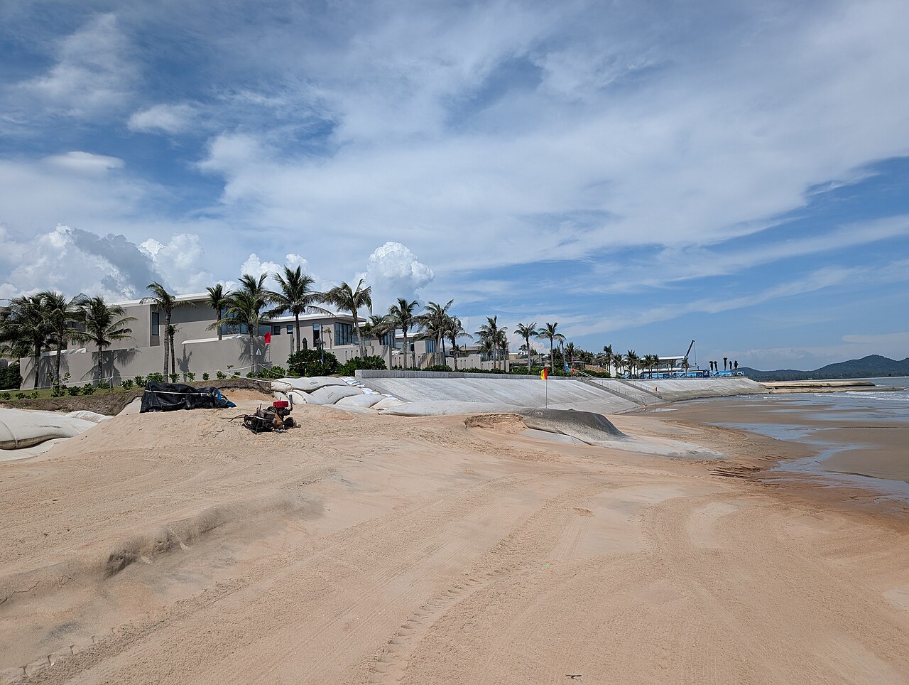
The territory occupies a compact coastal zone where the southern tip of the Mekong Delta meets the South China Sea. The mainland portion centres on the Ba Ria basin — relatively flat, agricultural and industrialised — with Vung Tau at its seaward edge on a small peninsula flanked by two distinct beaches, Front Beach (Bãi Trước) and Back Beach (Bãi Sau).
Offshore, roughly 180 km to the southwest, lies the Con Dao archipelago: sixteen islands and islets with dense forest, colonial-era prison ruins and reefs. Con Dao is administratively remote and physically difficult to reach, giving it a character quite different from the mainland coast.
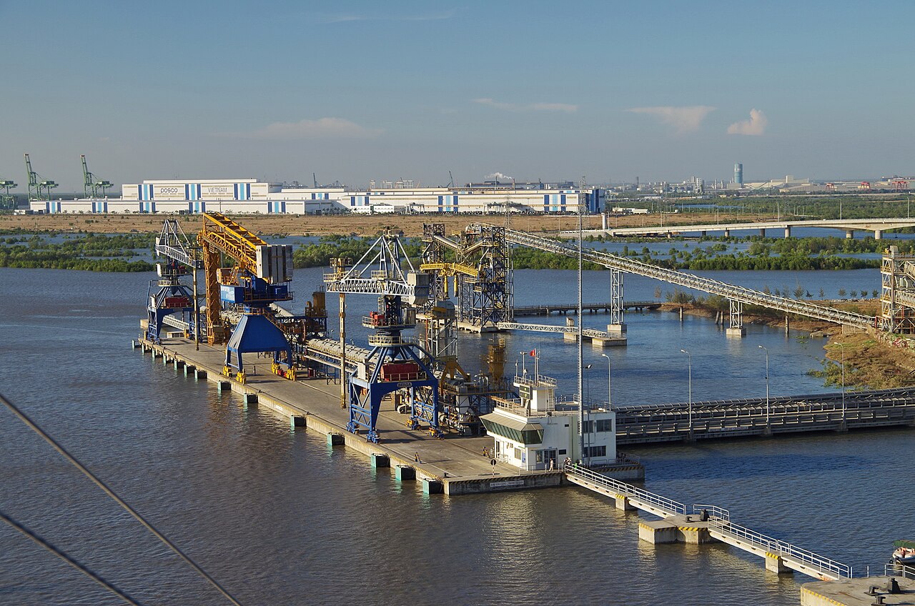
The area has been central to Vietnam's petroleum industry since Soviet-era joint ventures in the 1980s. The Bạch Hổ (White Tiger) oil field, discovered in 1975 and producing since 1986, sits in the offshore blocks and has shaped the economy and demographics of the mainland towns considerably.
Climate and when to visit
The coast here follows a pronounced two-season tropical pattern driven by the southwest monsoon. The dry season runs from roughly November through April: temperatures are warm, rainfall is light and the sea is generally calm. January and February represent the driest and most settled months, though even then short showers are possible.
The wet season sets in during May and deepens sharply through June, July and August before peaking in September, when monthly rainfall is at its heaviest. Humidity is high throughout the wet months and short, intense downpours are typical in the afternoons. October and November form a transitional period with declining rainfall.
For Con Dao specifically, the wet season brings rougher sea conditions that can disrupt boat and flight services; the dry season window from December to April is when access is most reliable and diving visibility is best. The mainland beaches at Vung Tau are visited year-round by domestic tourists, with the wet season seeing fewer foreign visitors but still considerable weekend crowds from Ho Chi Minh City.
Getting there and around
From Ho Chi Minh City, Vung Tau on the mainland is accessible by road along Highway 51, a journey of roughly 125 km that passes through the Phu My industrial zone. High-speed hydrofoil services also operate between the Mekong Delta ferry terminals in Ho Chi Minh City and Vung Tau's port; crossing times are significantly shorter than by road. Bus services connect the two cities with multiple departures throughout the day.
Con Dao is reached either by air from Ho Chi Minh City's Tan Son Nhat airport, via a short regional flight to Co Ong airport on Con Son island, or by an overnight cargo-passenger ferry from Vung Tau. Ferry schedules vary seasonally and can be suspended during poor weather; the service is popular with budget travellers and those transporting goods.
Within the mainland area, motorbike hire is the predominant mode of local transport. Taxis and ride-hailing apps operate in Vung Tau. On Con Dao, the road network is limited and motorbike hire is effectively the standard means of getting around the main island.
Places and things to see
In and around Vung Tau, notable sites include the large Christ of Vung Tau statue (Tượng Chúa Kitô Vua) on Small Mountain (Núi Nhỏ), a white figure erected in 1974 with internal stairs leading to a viewing platform; the Bach Dinh (White Villa), a French colonial villa built in 1898 for the Governor-General of Indochina and now a museum holding ceramics and artefacts; and the lighthouse on Small Mountain, still operational. Front Beach is the calmer, more developed shore; Back Beach is longer and more exposed.
Con Dao's principal draw is its national park, which covers most of the land area and the surrounding marine environment. Sea turtle nesting occurs on several beaches from June to September. The archipelago is also known for its history of political imprisonment: the prison complex, in use from the French colonial period through 1975, is now a museum. Hang Duong cemetery holds the graves of thousands of prisoners, including the revolutionary Vo Thi Sau, who was executed there in 1952 and whose grave is a significant site of commemoration for Vietnamese visitors.
Where people stay
Accommodation in the former province divides clearly between the mainland and Con Dao. Vung Tau has a wide range of options from budget guesthouses on the streets behind Back Beach to mid-range hotels on the seafront. The city is a well-established domestic resort destination and accommodation supply is substantial, though quality varies considerably. Prices vary by season, with significant differences between weekdays and weekends given the volume of visitors from Ho Chi Minh City.
Con Dao's accommodation base has grown since the 2010s but remains limited relative to demand in the dry season. The island has attracted a number of upmarket resorts oriented around the national park environment, alongside simpler guesthouses in the main settlement of Con Son town. Availability in peak months should be planned for in advance. Prices vary by season.
Common misunderstandings
The administrative merger does not affect travel. Visitors searching for Vung Tau or Con Dao will still find them; the localities have not been renamed or physically altered by the 2025 reform. Older maps, guidebooks and addresses showing Ba Ria–Vung Tau as a province are simply out of date administratively.
Con Dao is not a quick addition to a Vung Tau trip. The ferry is an overnight journey and flights are limited; treating Con Dao as a day trip is not realistic. It warrants a separate visit of at least two or three nights to make the journey worthwhile.
Vung Tau is not a quiet escape on weekends. The proximity to Ho Chi Minh City means Front Beach and Back Beach attract very large crowds on Saturday and Sunday throughout the year. Visitors expecting a peaceful beach experience on a weekend may be surprised by the density of people, traffic and noise. Weekday visits are noticeably different in character.
The offshore oil context matters. Parts of the coastal infrastructure and some of the town's commercial life are oriented around the petroleum industry rather than tourism. Vung Tau is a working port city as much as a resort.
Iklim per bulan
Rata-rata jangka panjang, bukan prakiraan. Periode referensi: 2015–2024. Nguồn: ERA5 reanalysis (Copernicus) via the Open-Meteo archive API.
Show the numbers
| Bulan | Suhu tertinggi °C | Rendah °C | Curah hujan (mm) | Hari hujan | Humidity % |
|---|---|---|---|---|---|
| January | 30.6 | 21.8 | 26 | 5 | 75 |
| February | 31.5 | 22.2 | 10 | 2 | 70 |
| March | 32.3 | 23.6 | 16 | 3 | 72 |
| April | 32.9 | 24.9 | 57 | 11 | 75 |
| May | 32.0 | 25.1 | 211 | 24 | 82 |
| June | 30.6 | 24.4 | 291 | 28 | 88 |
| July | 29.8 | 24.2 | 400 | 29 | 89 |
| August | 30.0 | 24.2 | 341 | 29 | 89 |
| September | 29.7 | 23.8 | 401 | 29 | 90 |
| October | 29.5 | 23.4 | 360 | 27 | 89 |
| November | 29.8 | 23.1 | 133 | 19 | 85 |
| December | 29.9 | 22.1 | 80 | 12 | 81 |
Also known as / see also
Kini bagian dari
Dirujuk oleh
Các nguồn
- ERA5 climate normals — Copernicus / Open-Meteo (CC BY 4.0) đã truy cập 30 August 2026
Supports: monthly temperature and rainfall normals, and elevation - Ba Ria-Vung Tau (Q36874) — Wikidata (CC0 1.0) đã truy cập 30 August 2026
Supports: coordinates, area, population - Ba Ria-Vung Tau — Wikipedia (CC BY-SA 4.0) đã truy cập 30 August 2026
Supports: background
Current Terakhir diverifikasi: 31 August 2026. Rules, fares and prices change — check the official source before acting on anything here. Report a mistake.
Picture credits (4)
Ixora resort, Ho Tram 3, Syced, CC0, Wikimedia Commons · VN-Phu-My-Hafen-2, Balou46, CC BY-SA 3.0, Wikimedia Commons · Ba Ria - Vung Tau museum 030324, Xuanphuocle, CC0, Wikimedia Commons · Cầu Cỏ May 211224 2, Xuanphuocle, CC0, Wikimedia Commons