
All of Vietnam, as a referenceViệt Nam, từ Bắc vào Nam
Every province and destination, how to move between them, the rules at the border and what things cost, kept current through the 2025 reorganisation.
The NorthMiền Bắc
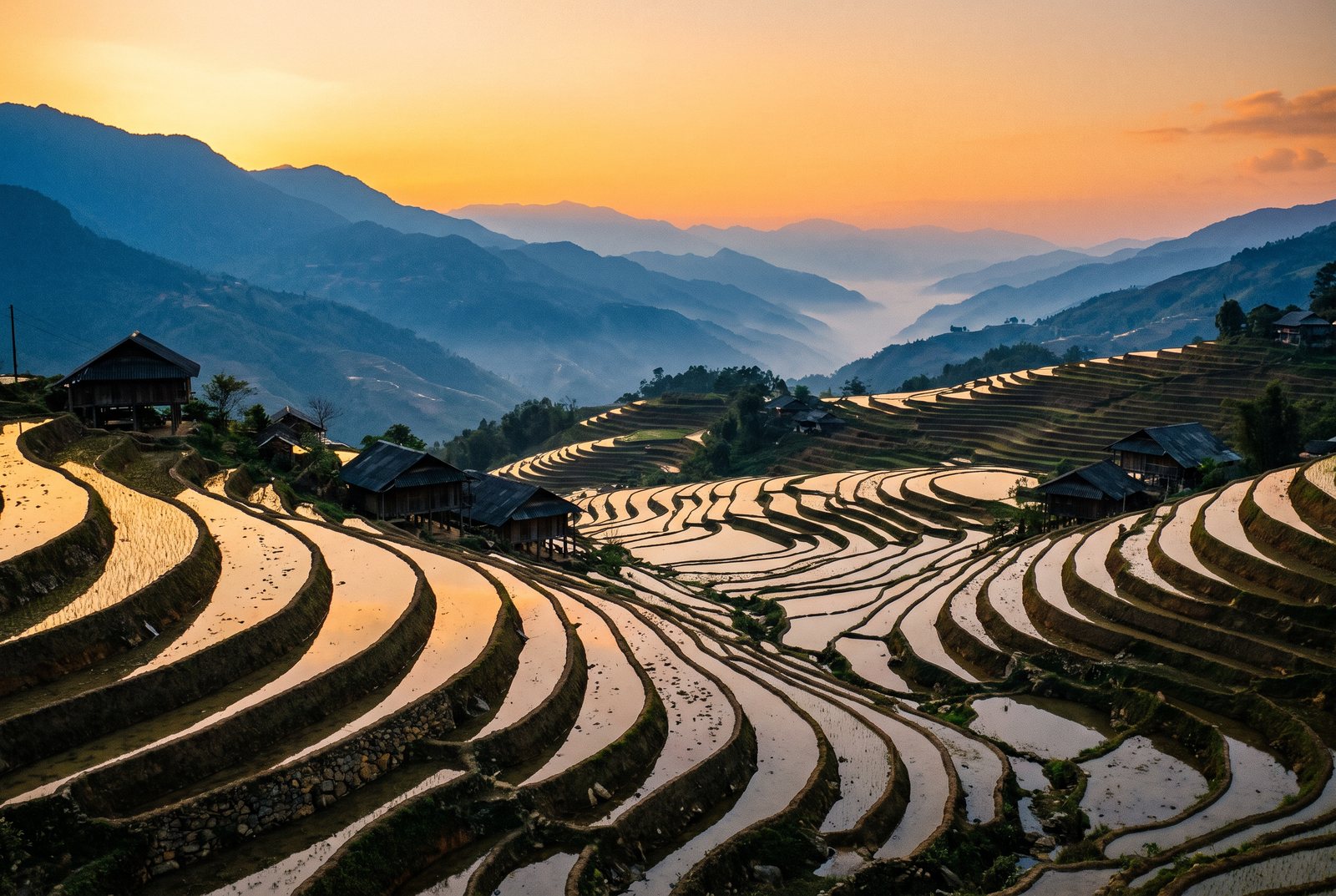
Limestone, terraces and a very old capital
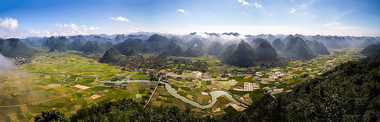
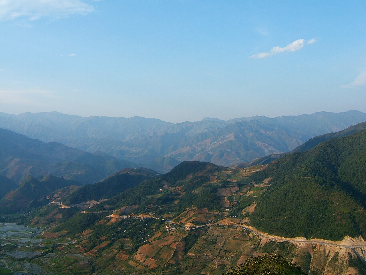
Up here the land stands on end. Karst towers rise out of Ha Long Bay and the rice fields of Ninh Binh, and in the far north whole mountainsides are cut into terraces that turn gold at harvest in September. Hanoi sits at the centre of it, a thousand years old and still eating breakfast on low plastic stools.
The CentreMiền Trung
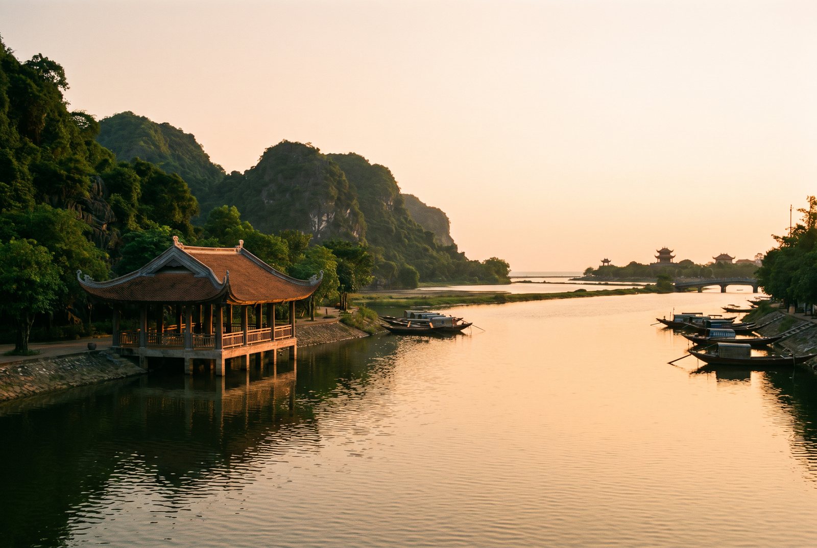
Lanterns, citadels and a coast that keeps going
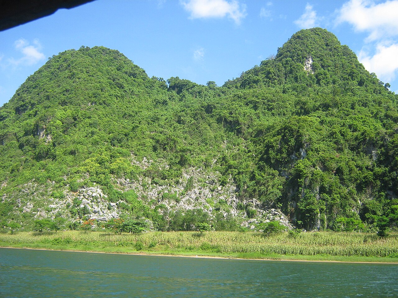
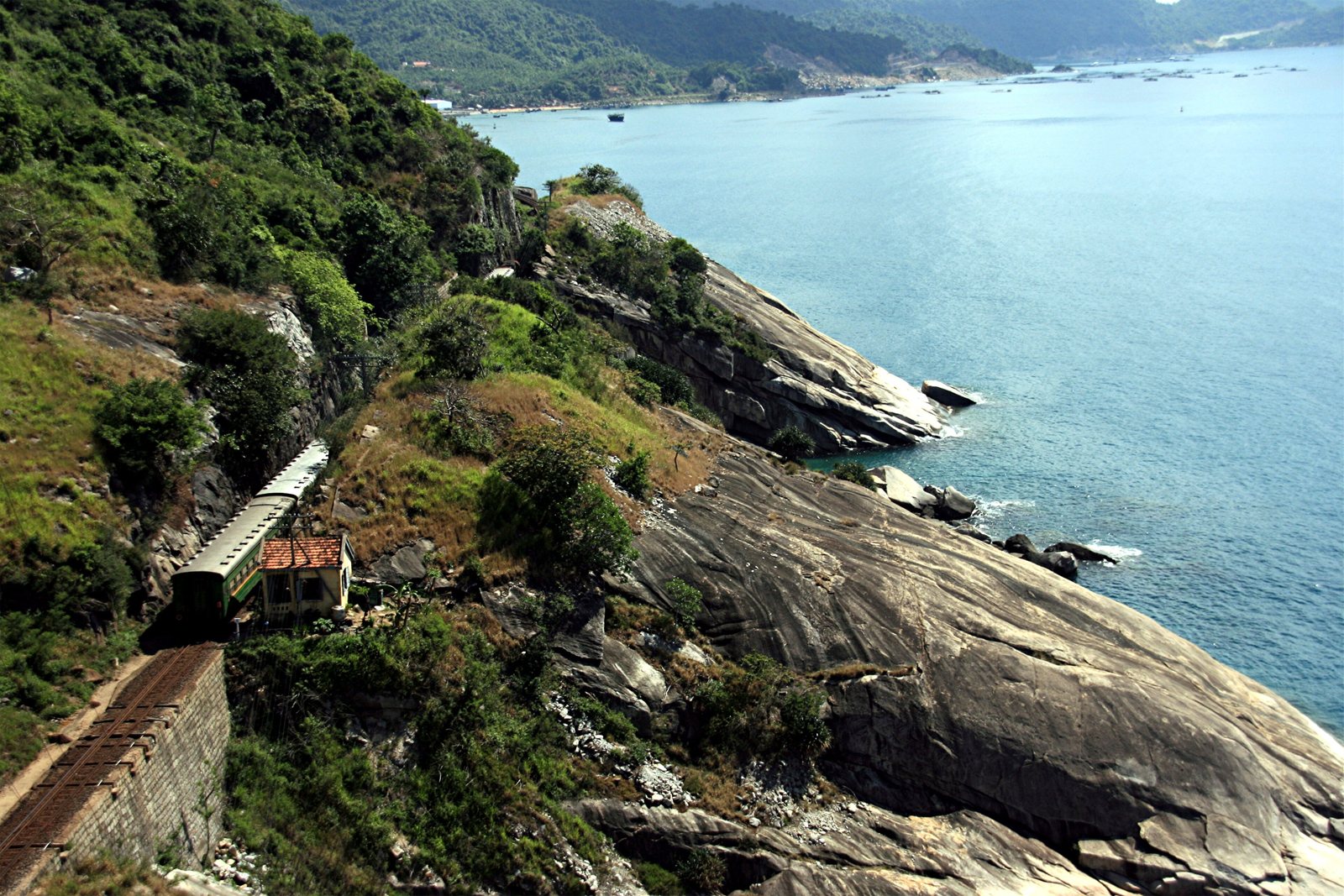
The country narrows here to a strip between the Truong Son mountains and the sea. Hue kept the court of the last emperors, Hoi An kept its merchant houses and its lanterns, and the caves of Phong Nha are big enough to hold their own weather. Spring and early summer are the kind months; from September the rains move in.

The SouthMiền Nam
Rivers, markets and a city that never sits down
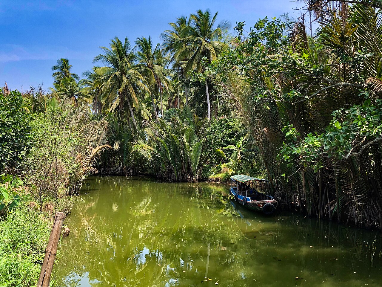
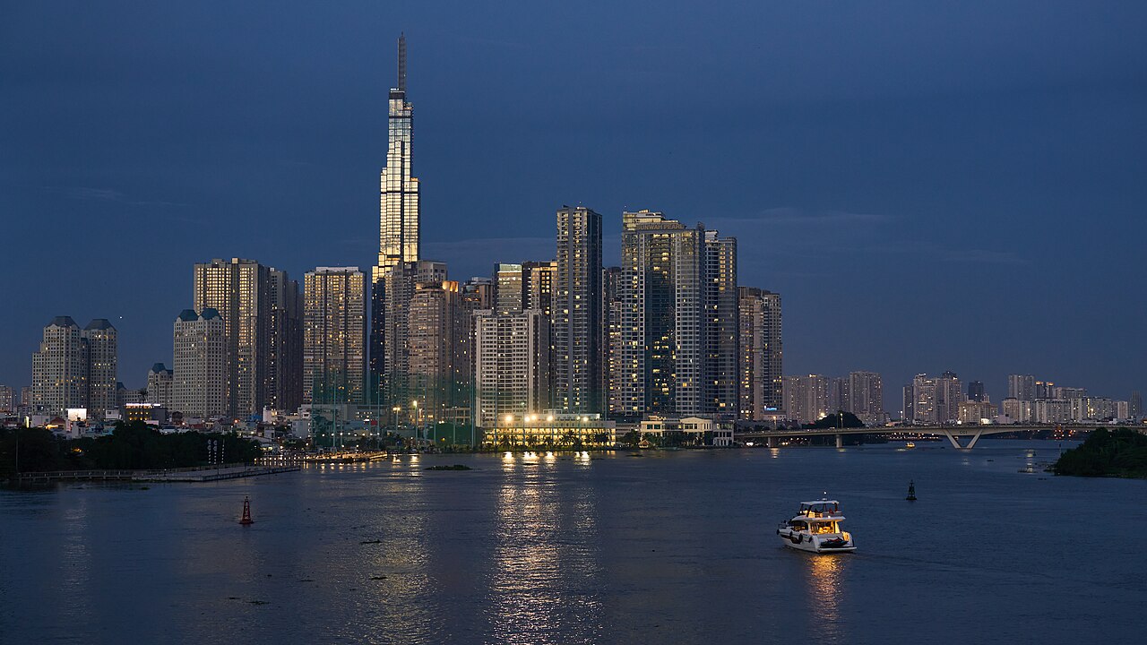
The Mekong ends its long journey here, splitting into channels lined with water coconut, orchards and the floating markets of Can Tho. Ho Chi Minh City runs on coffee and motorbikes, and Phu Quoc waits offshore for when the heat wins. The dry months, December to April, are the easy time to go.
Where people go
All destinations → 북동부
북동부
Ha Long BayVịnh Hạ Long
UNESCO limestone karst bay, overnight cruises
 남중부 해안
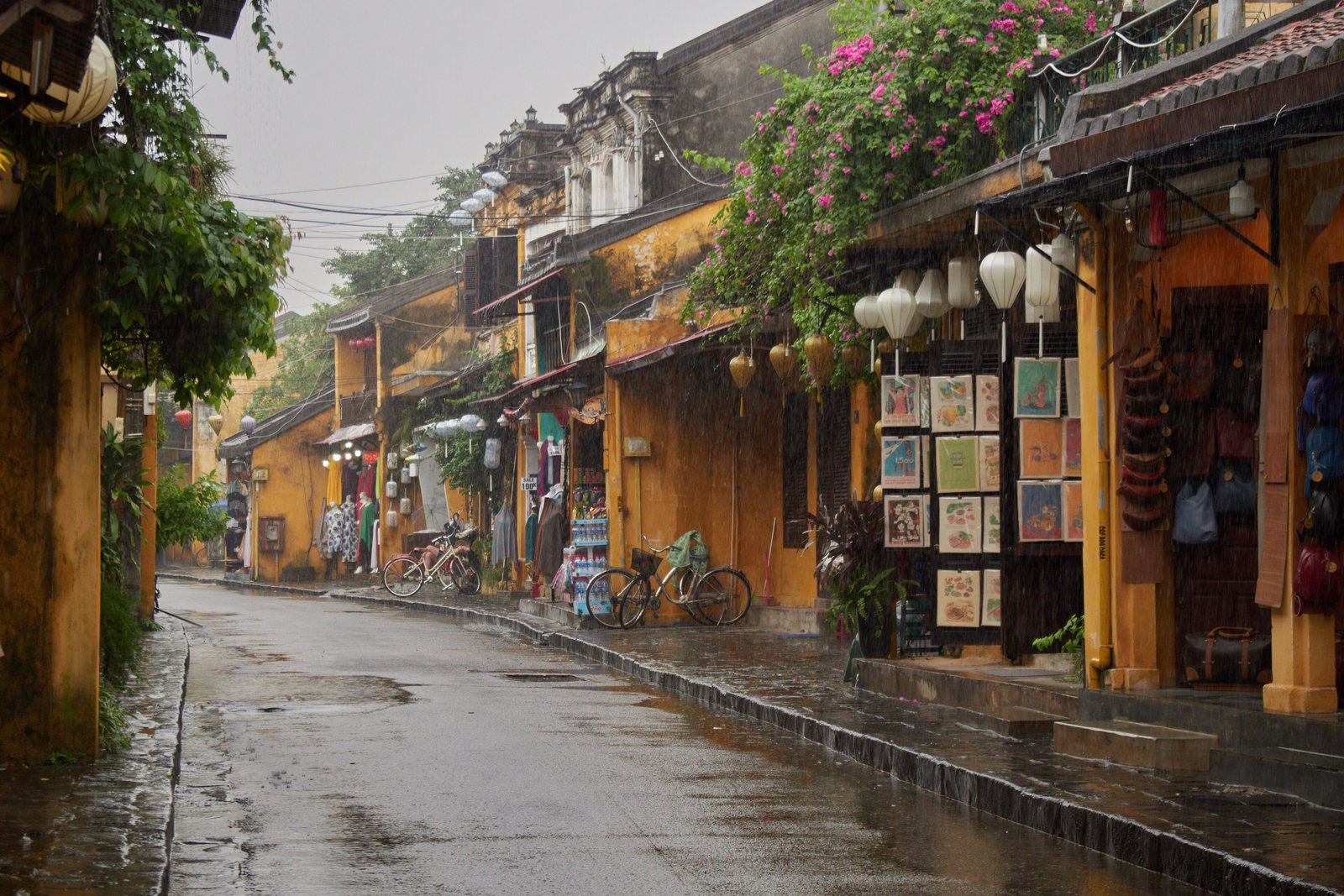
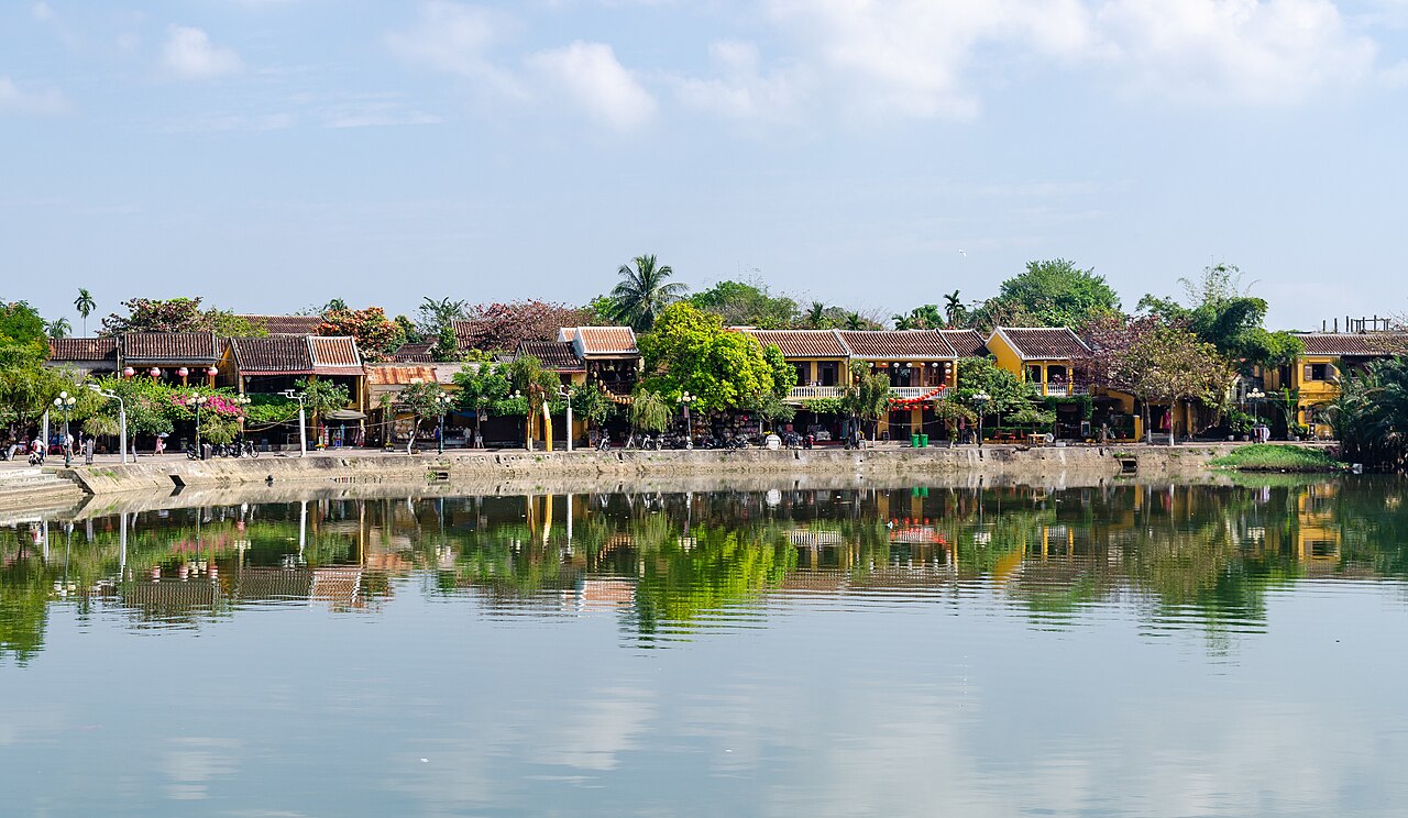
Hoi AnHội An
UNESCO trading port old town, tailors, lanterns, An Bang beach
 북서부
북서부
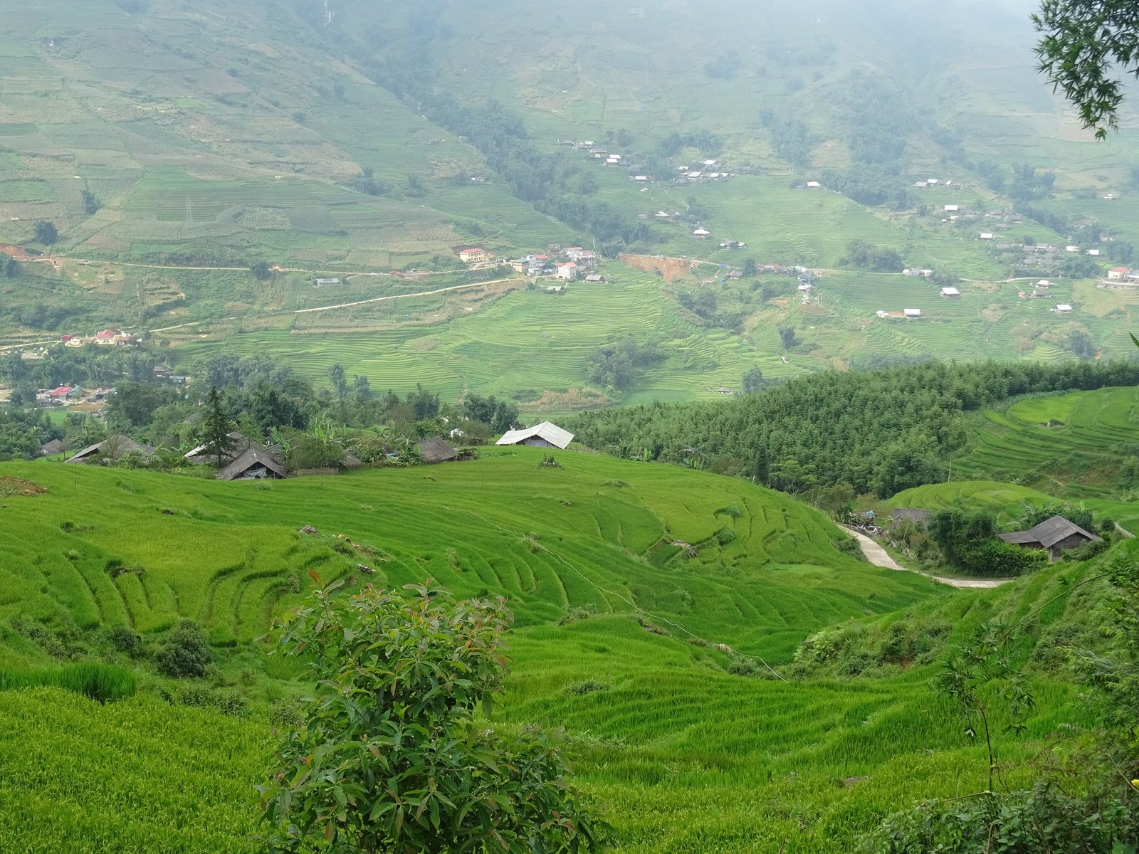
SapaSa Pa
Rice-terrace trekking, Hmong and Dao villages, Fansipan
 홍강 삼각주
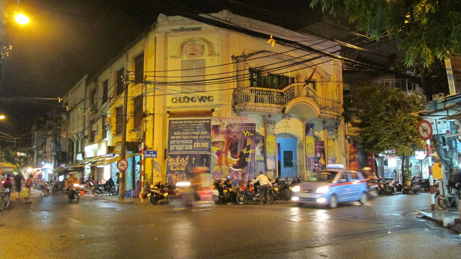
Hanoi Old QuarterPhố cổ Hà Nội
36 guild streets, street food, Hoan Kiem lake
 북중부 해안
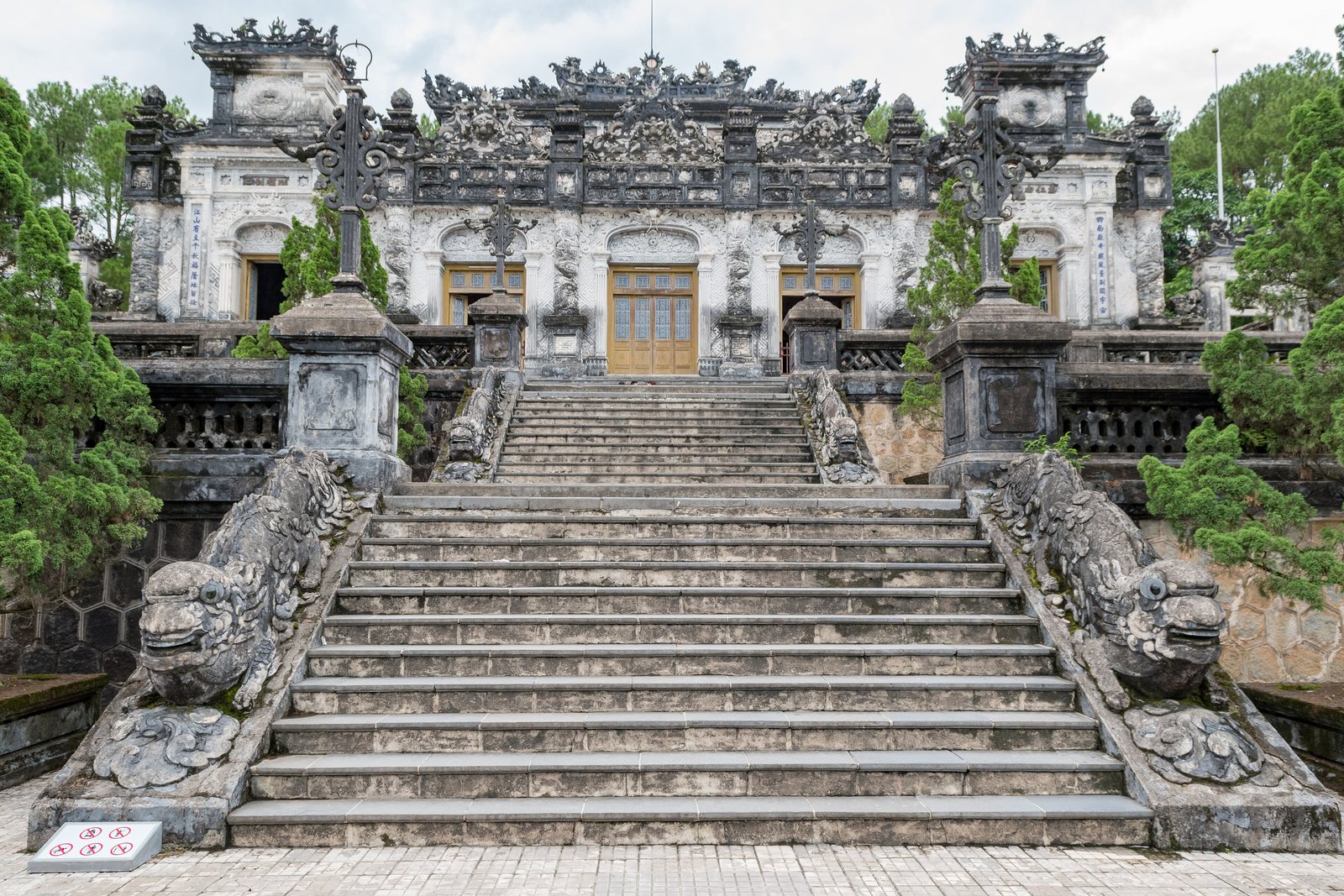
HueHuế
Nguyen dynasty citadel, royal tombs, Perfume River
 중부 고원
중부 고원
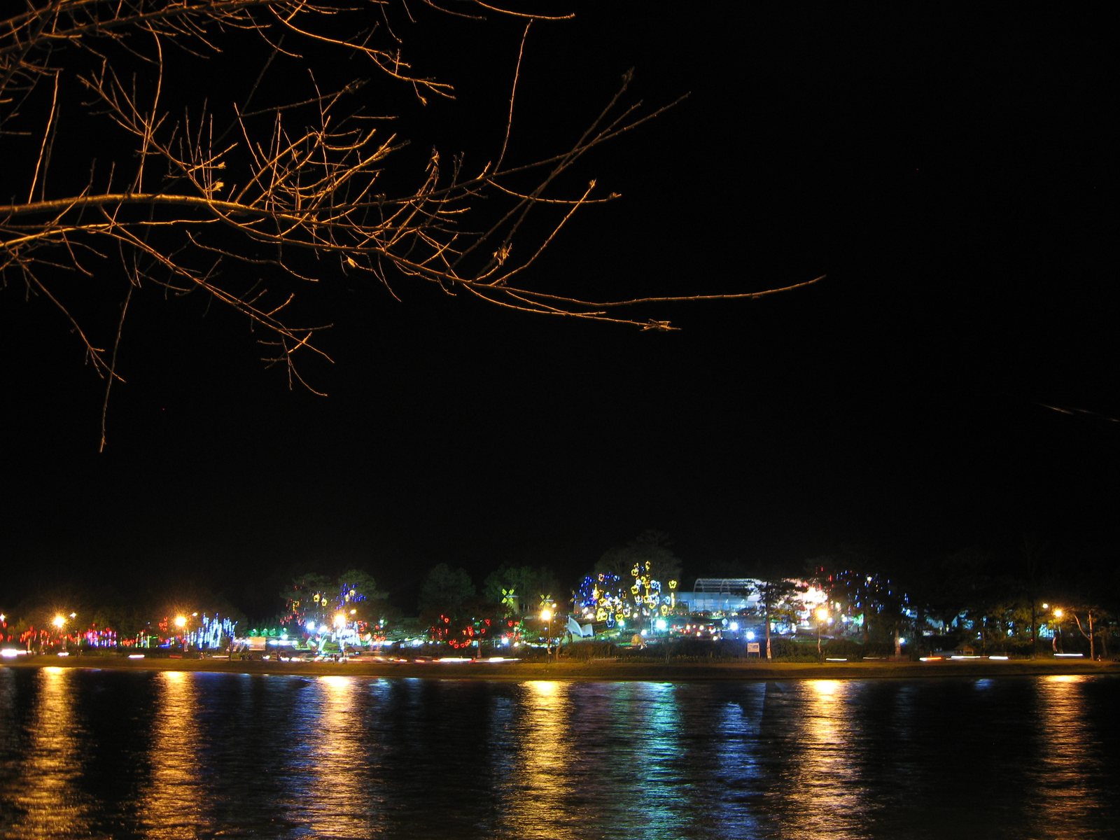
Da LatĐà Lạt
Cool highland city, French villas, coffee, canyoning
 메콩 델타
메콩 델타
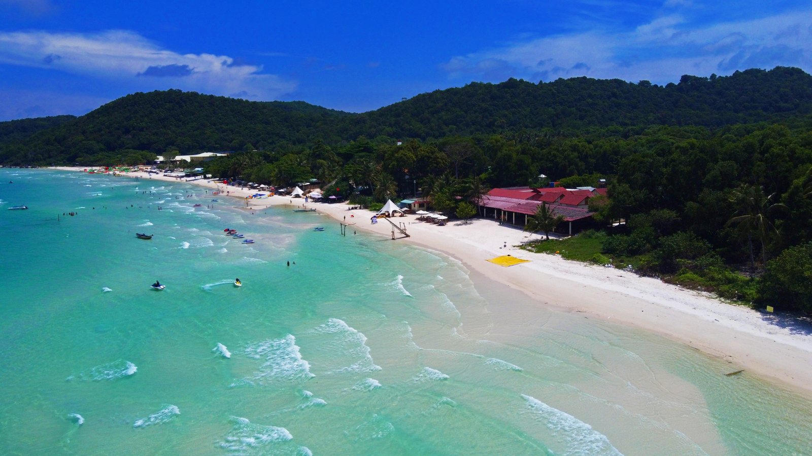
Phu QuocPhú Quốc
Beach resorts, fish sauce, cable car, national park
 홍강 삼각주
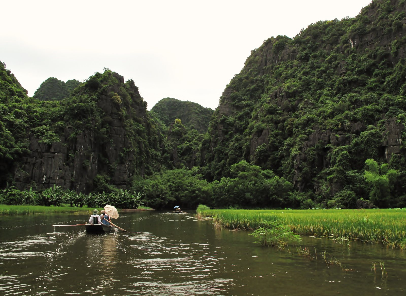
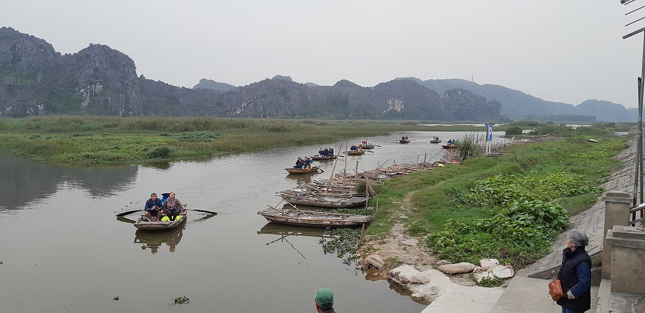
Ninh Binh and Tam CocNinh Bình – Tam Cốc
Inland karst landscape, sampan rowing, Trang An and Hoa Lu
 북중부 해안
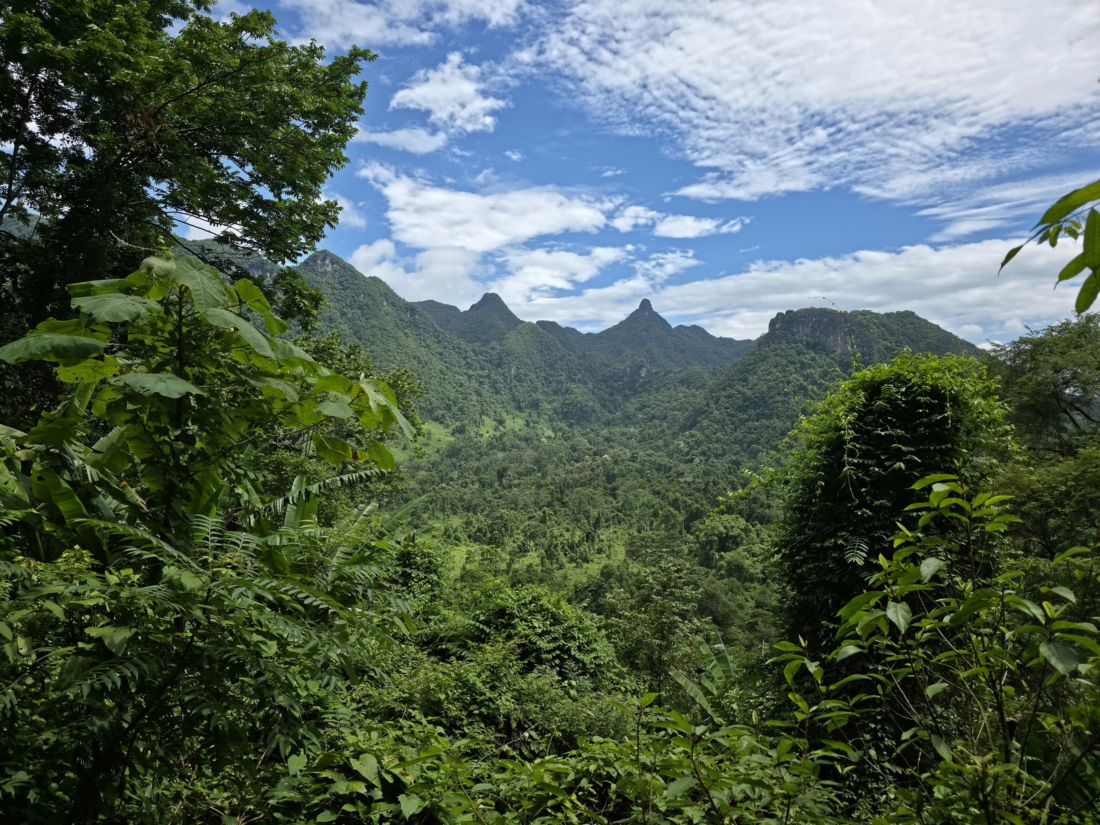
Phong Nha-Ke BangPhong Nha – Kẻ Bàng
World's largest caves, including Son Doong and Paradise Cave
 동남부
동남부
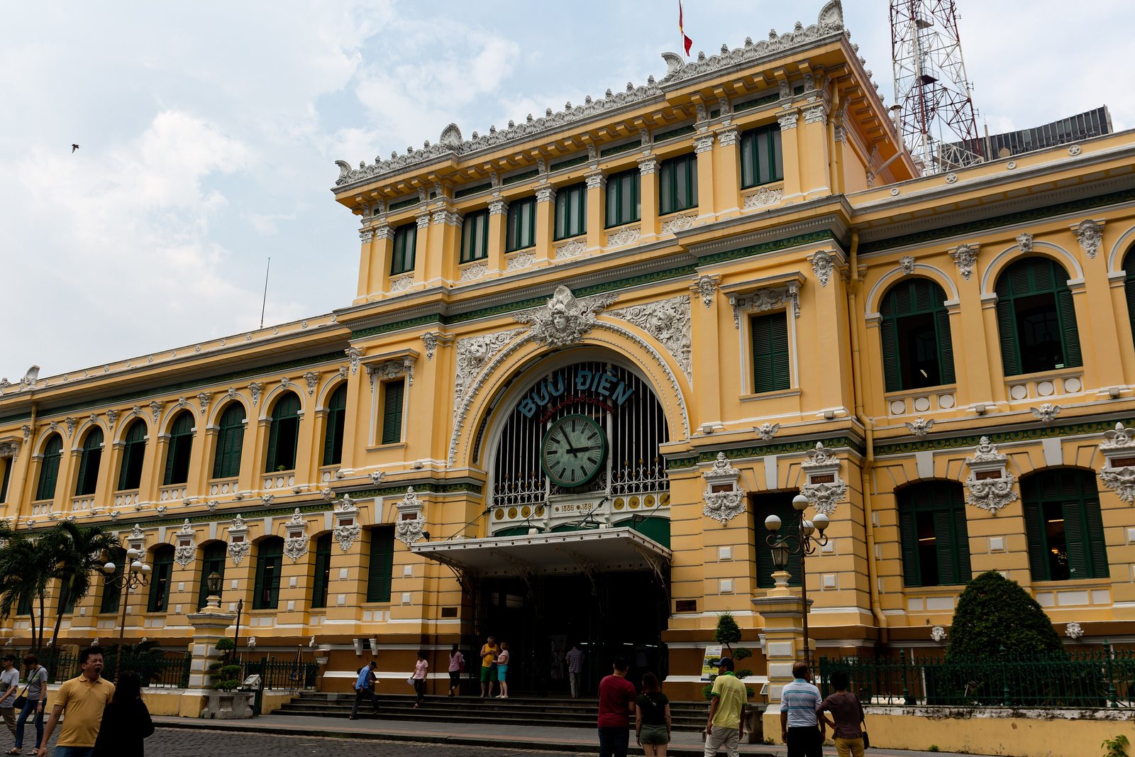
Ho Chi Minh City centreTrung tâm Sài Gòn
War Remnants Museum, Reunification Palace, Ben Thanh, street food
 메콩 델타
메콩 델타
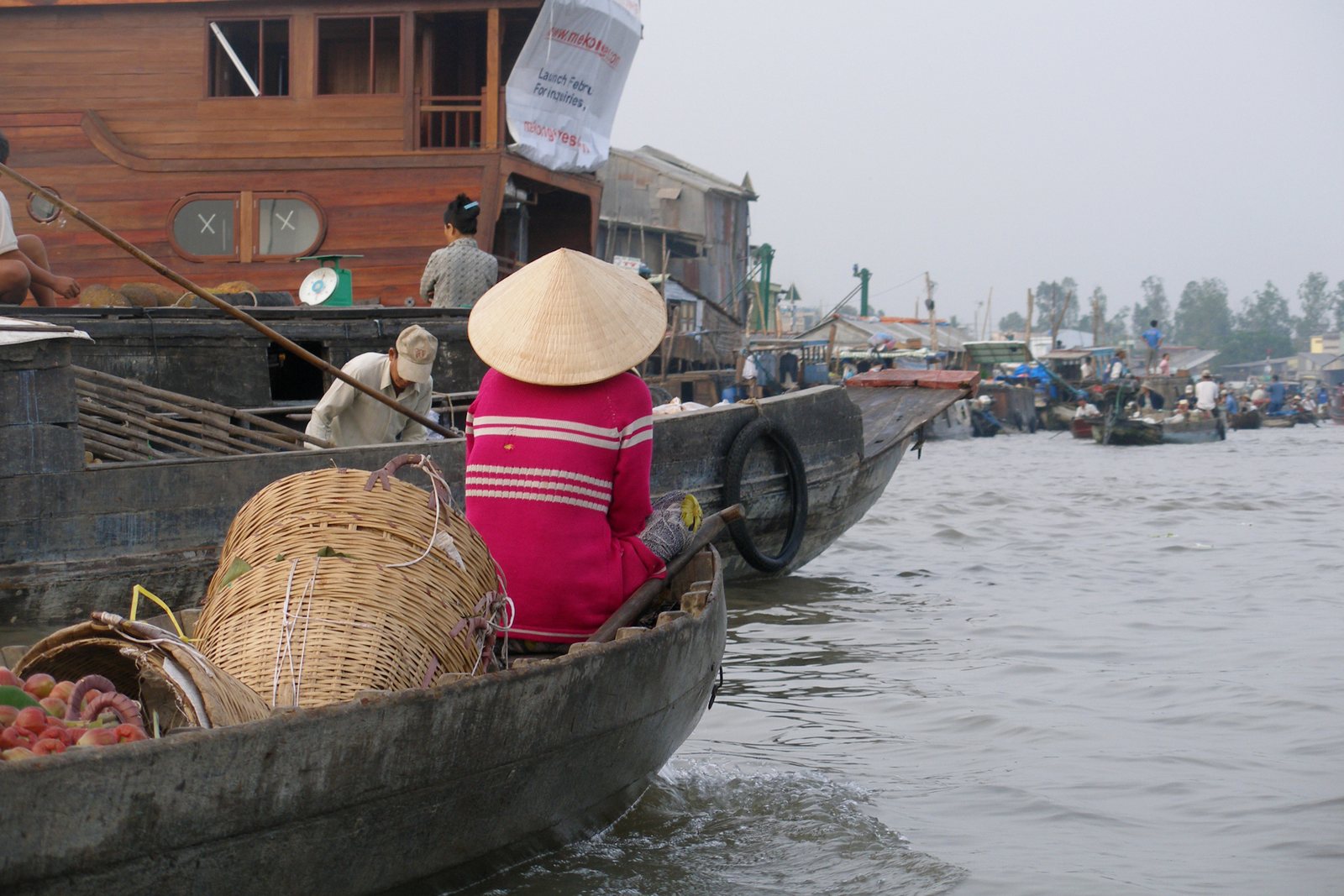
Can ThoCần Thơ
Cai Rang floating market, delta hub city
The eight regions
1,650 km from the Chinese border to the Gulf of Thailand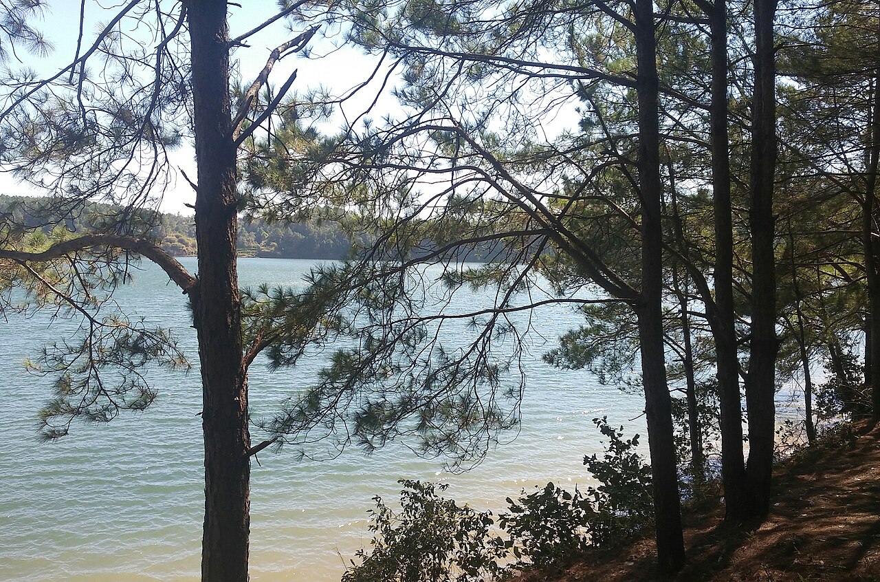
Vietnam redrew its map in 2025
On 1 July 2025 the provincial units were merged and the district tier was abolished outright. Guidebooks, maps and booking sites still use the old names. This site keeps the administrative structure as dated records, so a former name still finds the place you meant, and every page says what governs it now.
See what merged into what →Picture credits (23)
Photo: tawatchai1990 / Adobe Stock, asset 530320849 · Photo: munduuk / Adobe Stock, asset 2122485350 · Photo: fabio lamanna / Adobe Stock, asset 343111429 · Sunset Halong boat, Catatine, CC BY-SA 4.0, Wikimedia Commons · Hoi An - HoiAn1457, lumoplank, CC0, Wikimedia Commons · Mường Hoa Valley 06, Christophe95, CC BY-SA 4.0, Wikimedia Commons · Hanoi architecture - Hàng Bạc Street, Gary Cycles, CC BY 2.0, Wikimedia Commons · Grab von Kaiser Khai Dinh, Hue (39513722502), dronepicr, CC BY 2.0, Wikimedia Commons · 29-12-2011 Xuan Huong, Doi Cu 1, Diane Selwyn, CC BY-SA 3.0, Wikimedia Commons · Bai-sao-phu-quoc-tuonglamphotos, [//commons.wikimedia.org/wiki/User:Trantuonglam Trantuonglam], CC BY-SA 4.0, Wikimedia Commons · Ninh Binh on a boat (7172255185), Francisco Anzola, CC BY 2.0, Wikimedia Commons · Limestone mountains viewed from the path to Paradise Cave, Tht481, CC BY-SA 4.0, Wikimedia Commons · 20190923 Saigon Central Post Office-1, Balon Greyjoy, CC0, Wikimedia Commons · Can Tho, Vietnam, Floating Market, Vyacheslav Argenberg, CC BY 4.0, Wikimedia Commons · Biển Hồ - Pleiku, Gia Lai, Việt Nam (cropped), Pxchanh, CC0, Wikimedia Commons · Mekong Delta Ham Luong River, CaCo789, CC BY-SA 4.0, Wikimedia Commons · Part of mountain range in Phong Nha - Ke Bang National Park, Tansincos, CC BY-SA 4.0, Wikimedia Commons · Rice Paddies - Bac Son Valley, Northeast Vietnam - 10 Dec. 2013, Hoang Giang Hai from Hanoi, Vietnam, CC BY 2.0, Wikimedia Commons · Khau Phạ, Viethavvh, Public domain, Wikimedia Commons · Van Long Nature Reserve Lowland Wetland Halong Bay Ninh Binh Limestone Karst Red River Delta, JakobHosp, CC BY 4.0, Wikimedia Commons · Hội An, Ancient Town, 2020-01 CN-01, Steffen Schmitz ( more photos ), CC BY-SA 4.0, Wikimedia Commons · Saigon at Blue Hour, Radek Kucharski, CC BY 2.0, Wikimedia Commons · VN Coast Train Northbound, Michael Quick, CC BY 2.0, Wikimedia Commons